| NAD83 COORDINATES (1986 adj.): |
|---|
| X= 548139.224 Y= 168638.594 Z= 249.95 TOT 02/13/1995 STB |
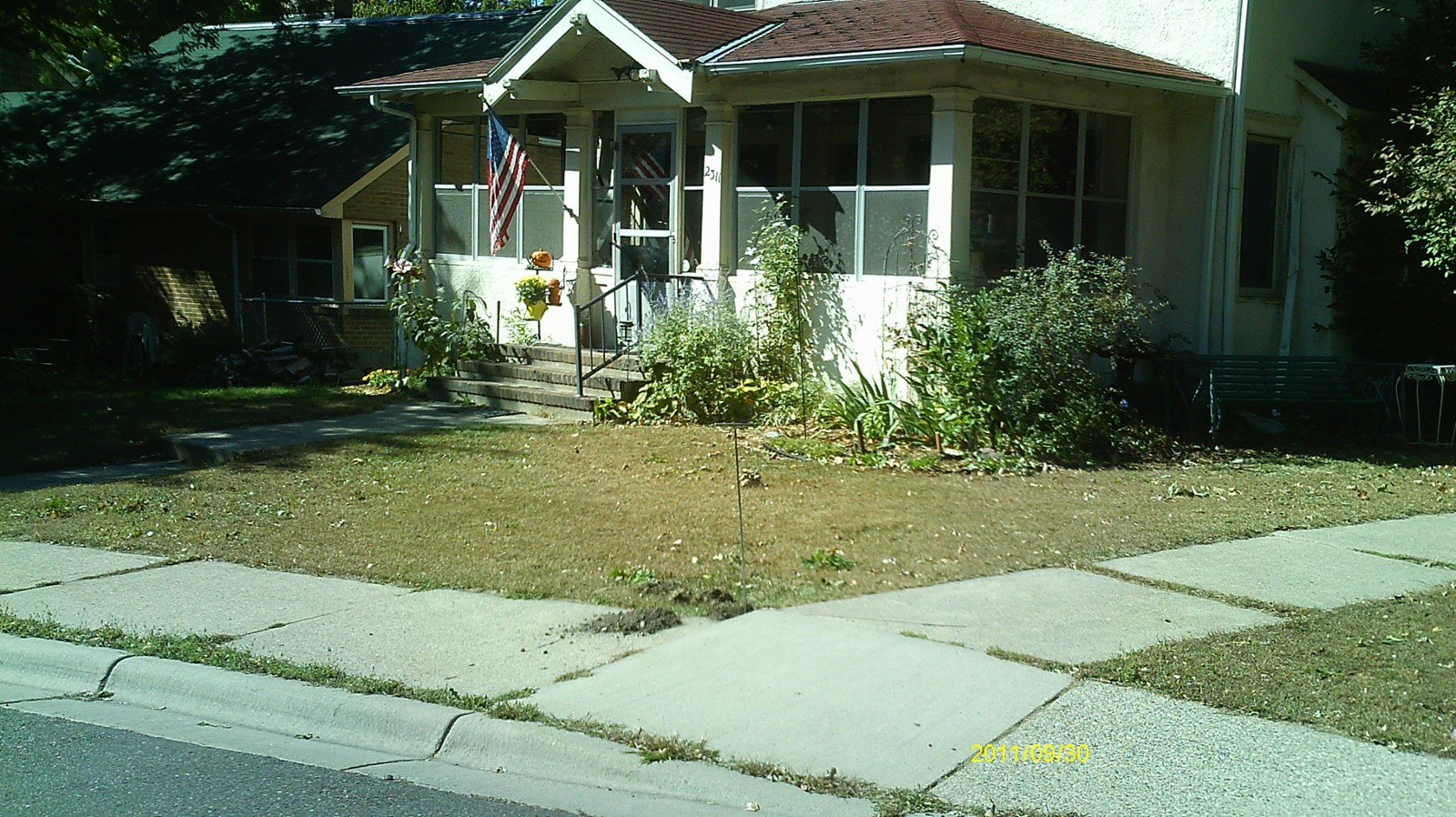
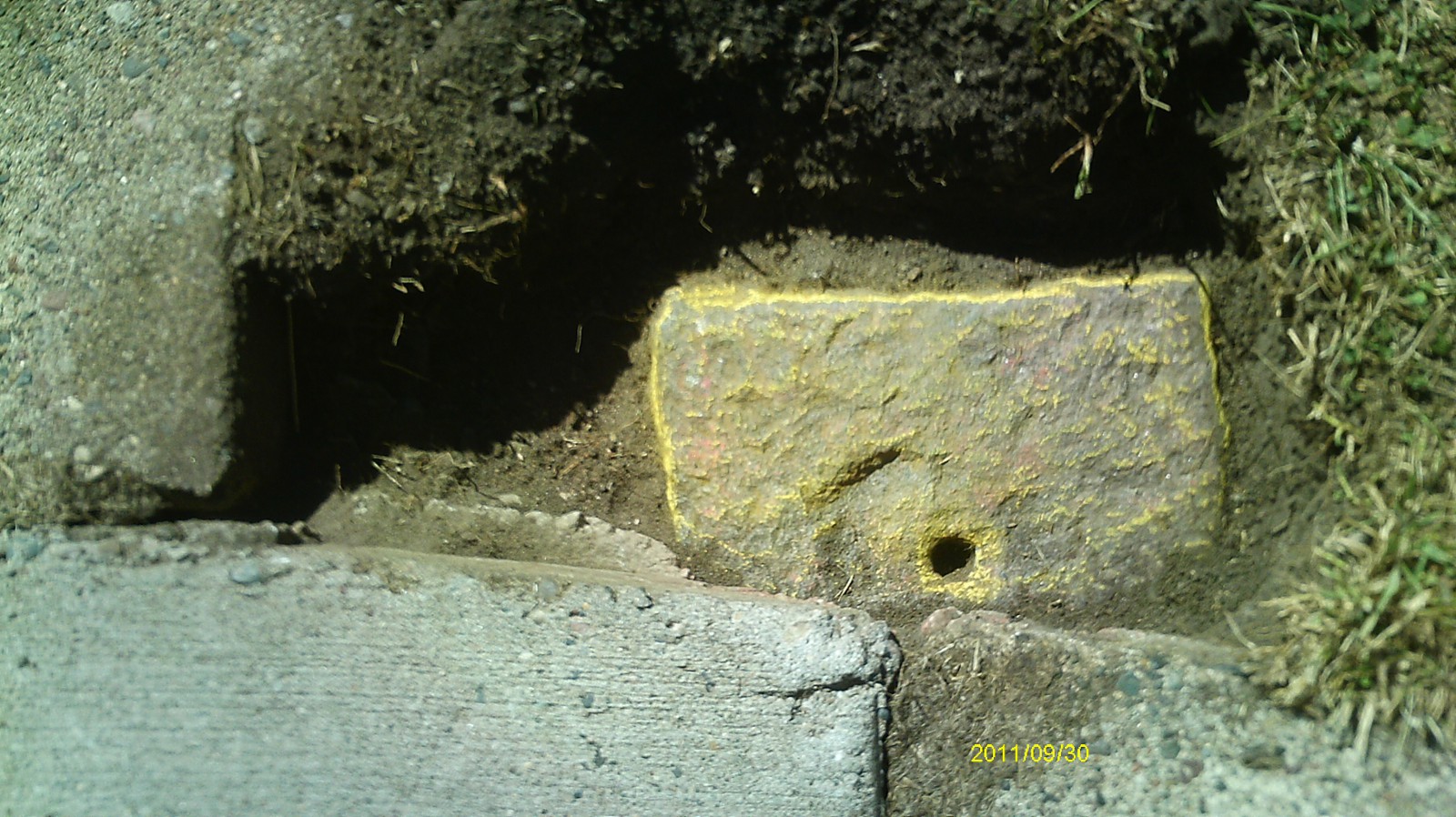
| 9/30/2011 | Fd GM 0.3 ft below sidewalk grade. Photos taken. |
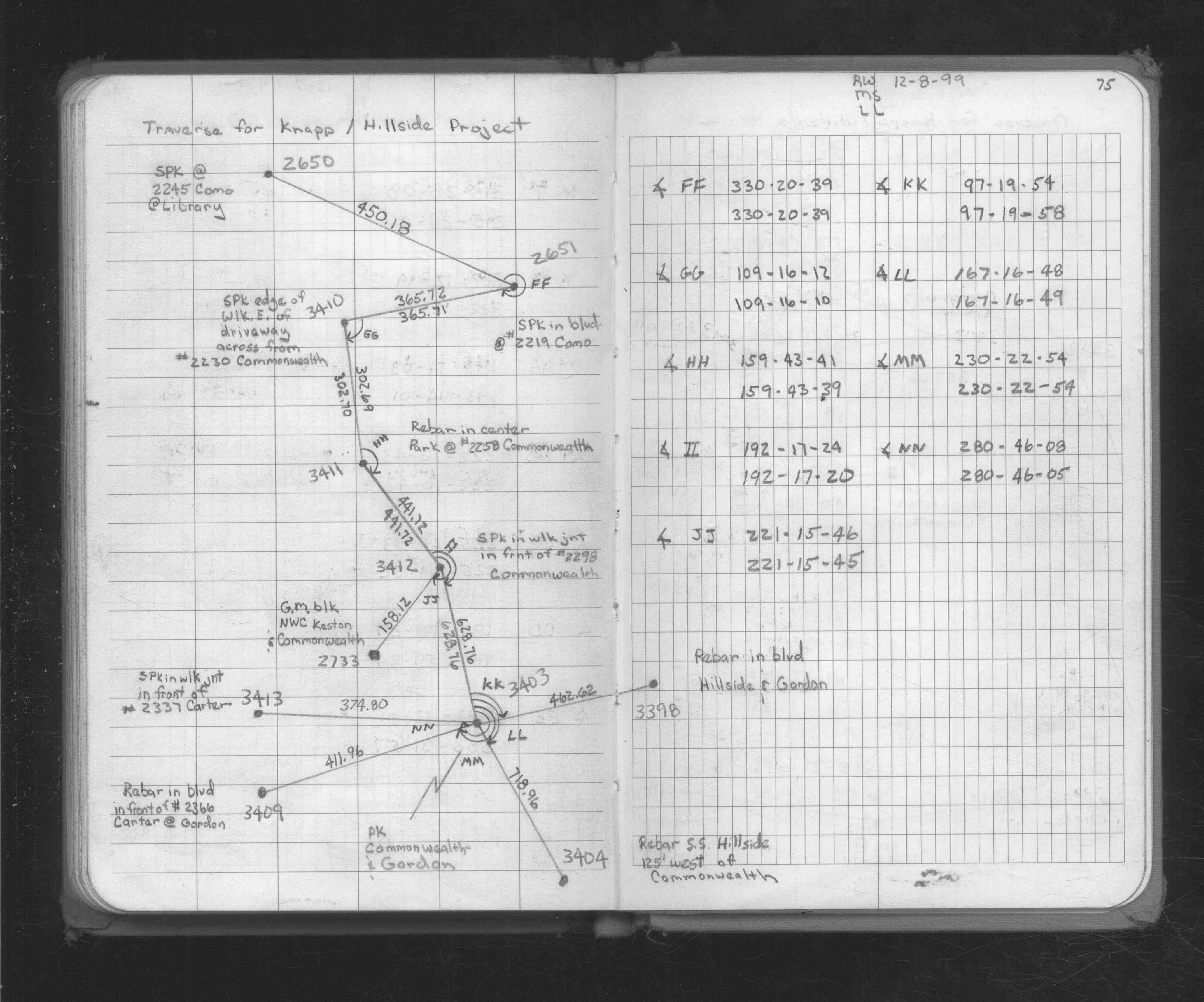
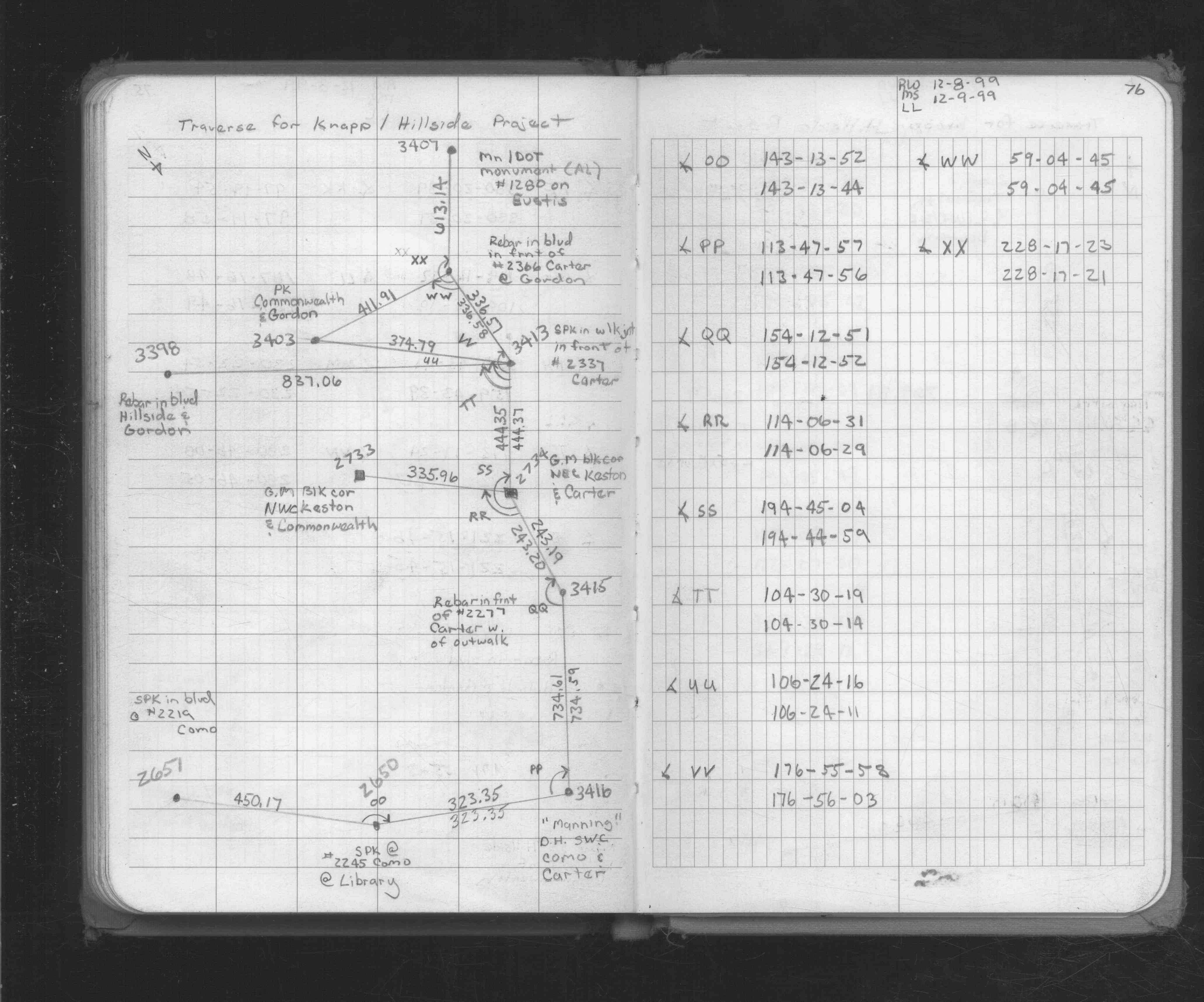
| 12/8/1999 | Located GM by traverse (double stubbed). See FB 1734 p.75,76 |
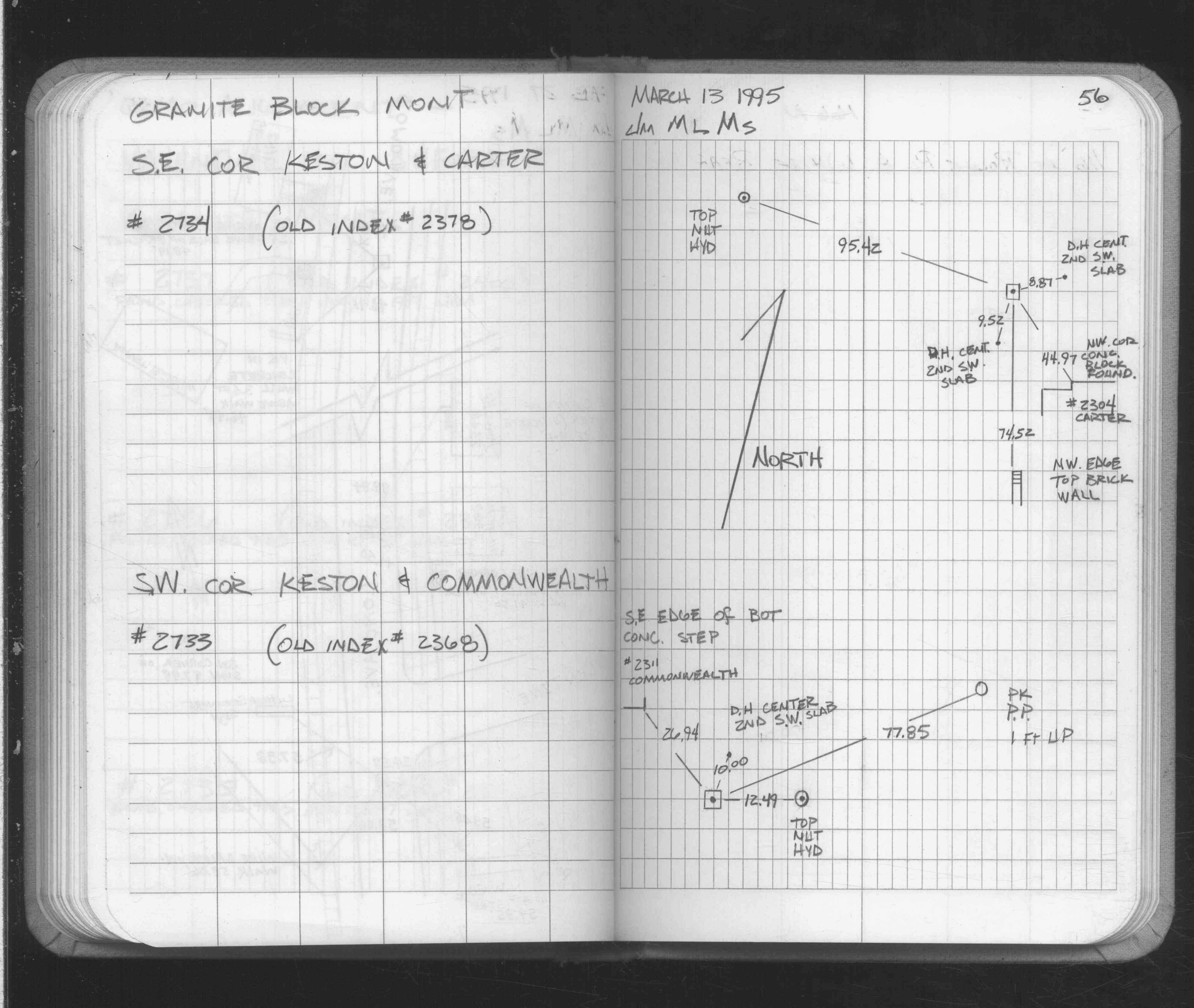
| 3/13/1995 | Fd GM, placed ties. See FB 1689 p.56 |
| 2/2/1995 | See 1995/p8098/keston/keston.sdr |
| 12/4/1891 | Monument set by F J McCarron |
Above is NOT an all inclusive history of this point. Please review all the links below.
| PLS NOTES | Field | Cross Section | Sewer | J.B. Irvine | Monument | River Survey |
|---|---|---|---|---|---|---|
| FB 1689p.56 | ||||||
| FB 1734p. 75 ,76 |
| FILE | PHOTO DATE | COMMENTS |
|---|---|---|
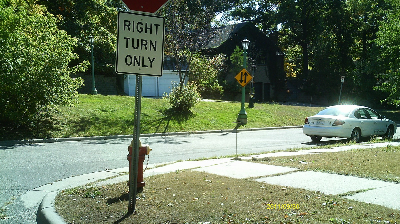
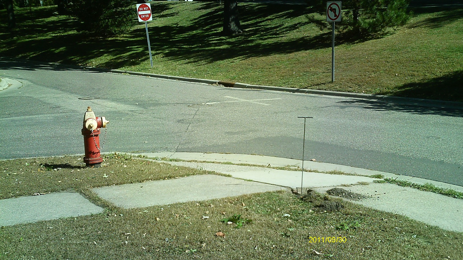
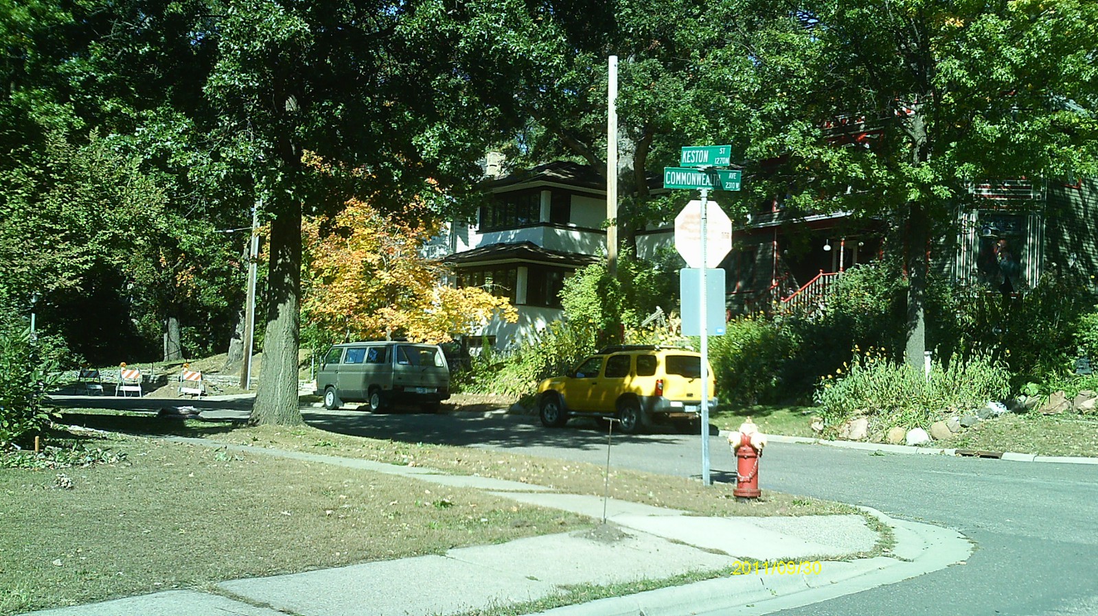
| 2733-2368-5.jpg | September 30, 2011 | Looking west. |
| 2733-2368-4.jpg | September 30, 2011 | Looking south. |
| 2733-2368-3.jpg | September 30, 2011 | Looking east along Commonwealth Ave. |
| 2733-2368-2.jpg | September 30, 2011 | Looking north along Keston St. |
| 2733-2368-1.jpg | September 30, 2011 | Close up of monument. |