| NAD83 COORDINATES (1986 adj.): |
|---|
| X= 583775.216 Y= 157121.533 Z= 000.00 UAJ 07/07/1995 STB |
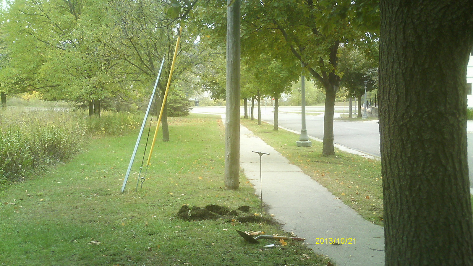
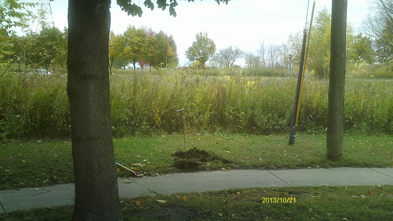
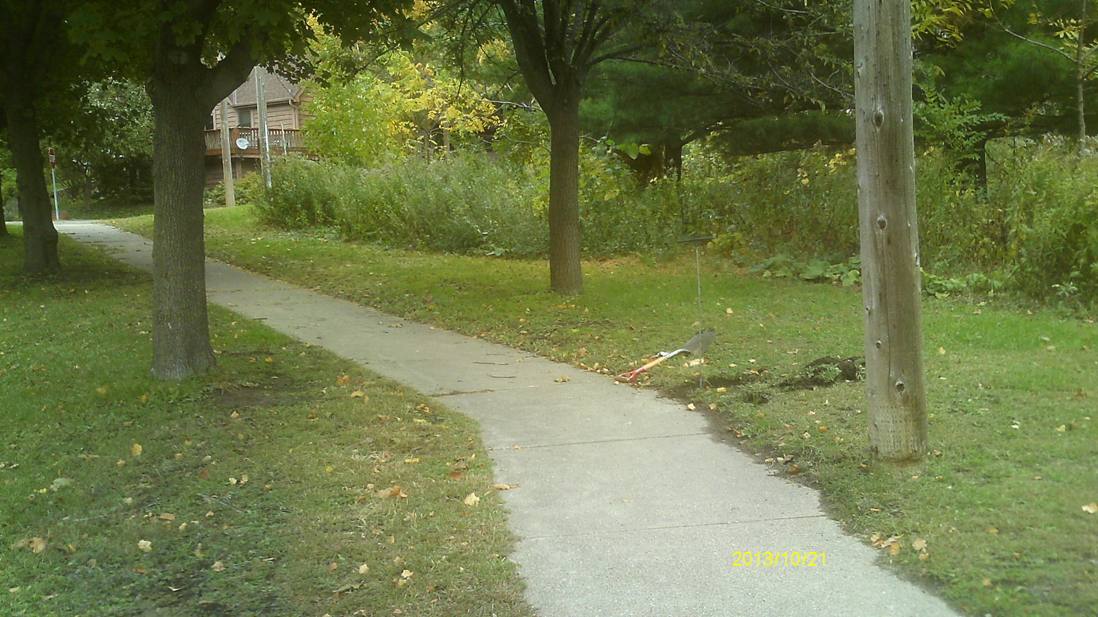
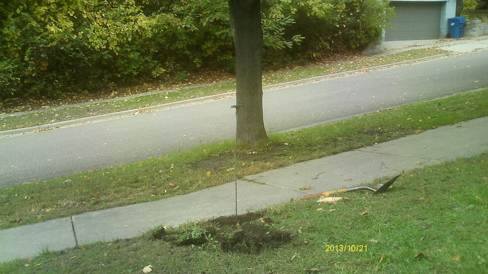
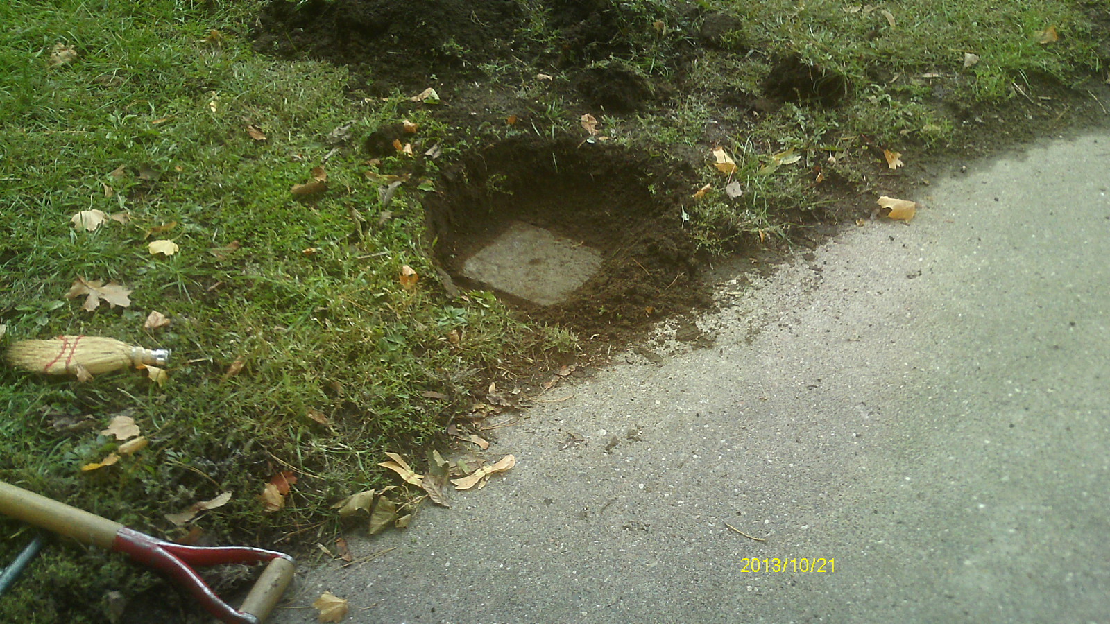
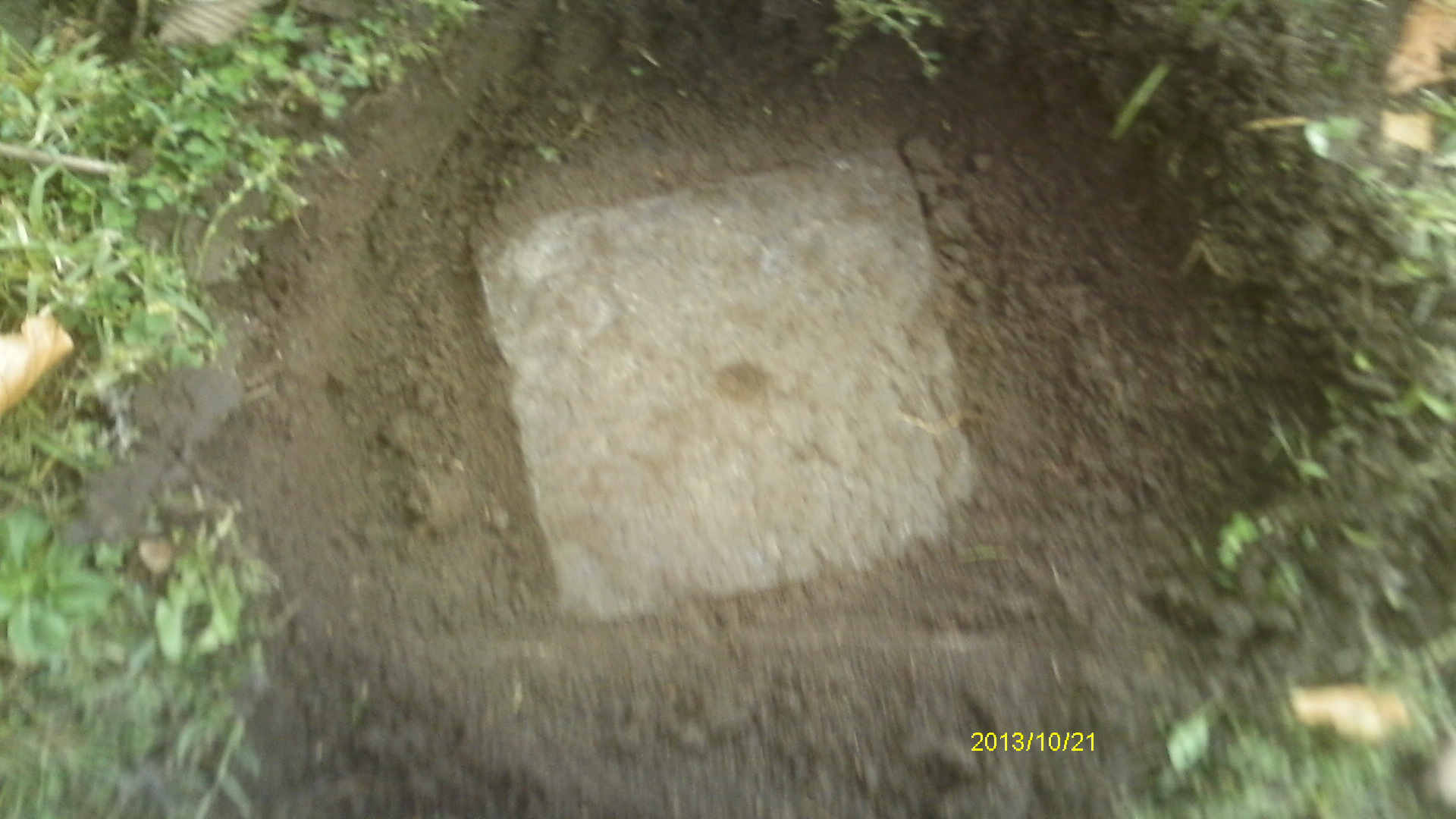
| 10/21/2013 | Found GM 0.2 ft below sidewalk grade. Photos taken. |
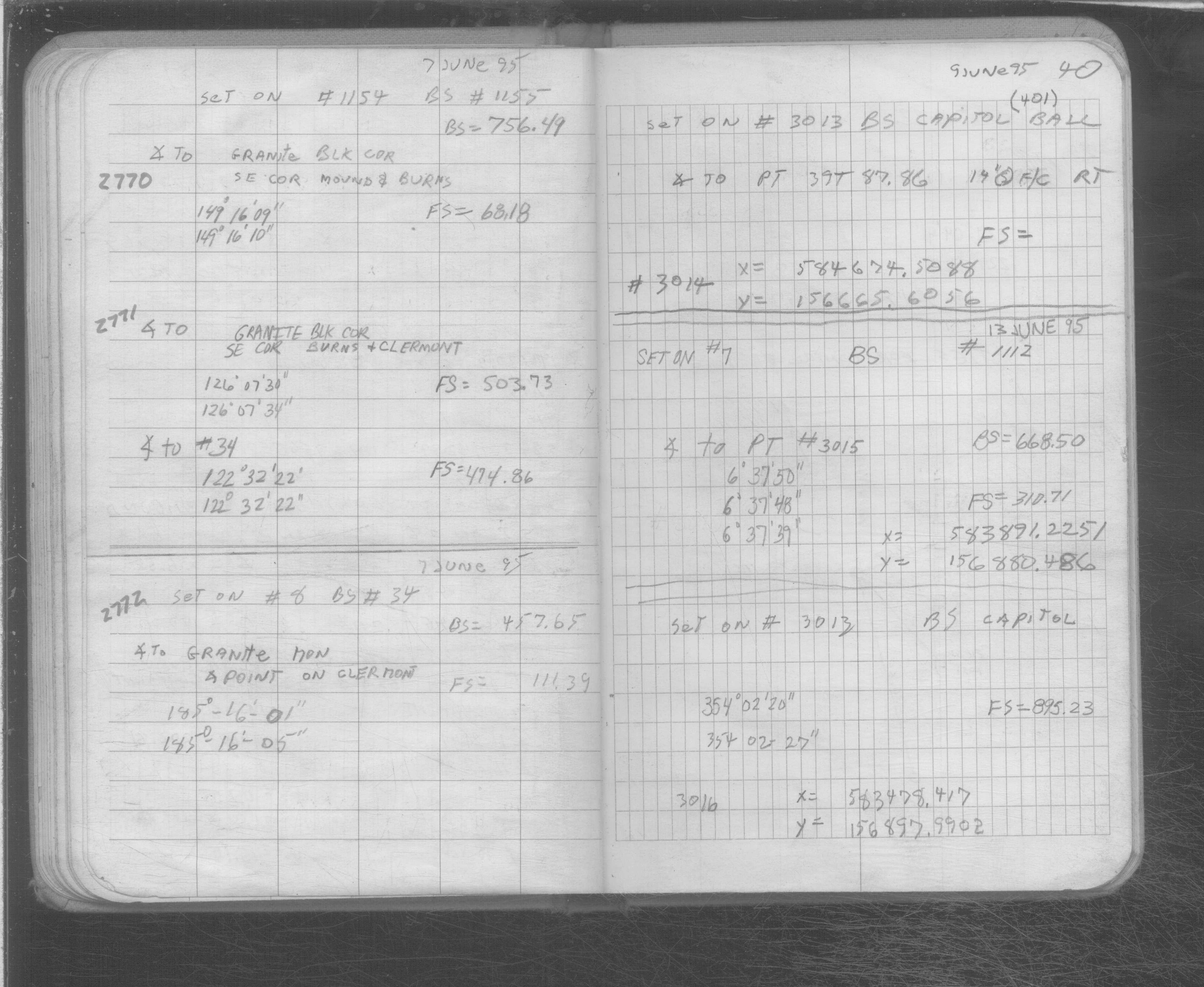
| 6/7/1995 | Located GM by traverse (single stub). See SB 566B p.40 |
Above is NOT an all inclusive history of this point. Please review all the links below.
| PLS NOTES | Field | Cross Section | Sewer | J.B. Irvine | Monument | River Survey |
|---|---|---|---|---|---|---|
| SB 0566Bp.40 |
| FILE | PHOTO DATE | COMMENTS |
|---|---|---|
| 2772-__hk-6.jpg | October 21, 2013 | Looking west along Clermont St. |
| 2772-__hk-5.jpg | October 21, 2013 | Looking south. |
| 2772-__hk-4.jpg | October 21, 2013 | Looking east along Clermont St. |
| 2772-__hk-3.jpg | October 21, 2013 | Looking north across Clermont St. |
| 2772-__hk-2.jpg | October 21, 2013 | Close up of monument location. |
| 2772-__hk-1.jpg | October 21, 2013 | Close up of monument. |