| NAD83 COORDINATES (1986 adj.): |
|---|
| X= 574302.368 Y= 166374.699 Z= 000.00 LSQ 12/27/1995 STB |
| 7/18/2014 | GM 0.6 ft below sidewalk grade after sidewalk reconstruction. EDM ties placed. |
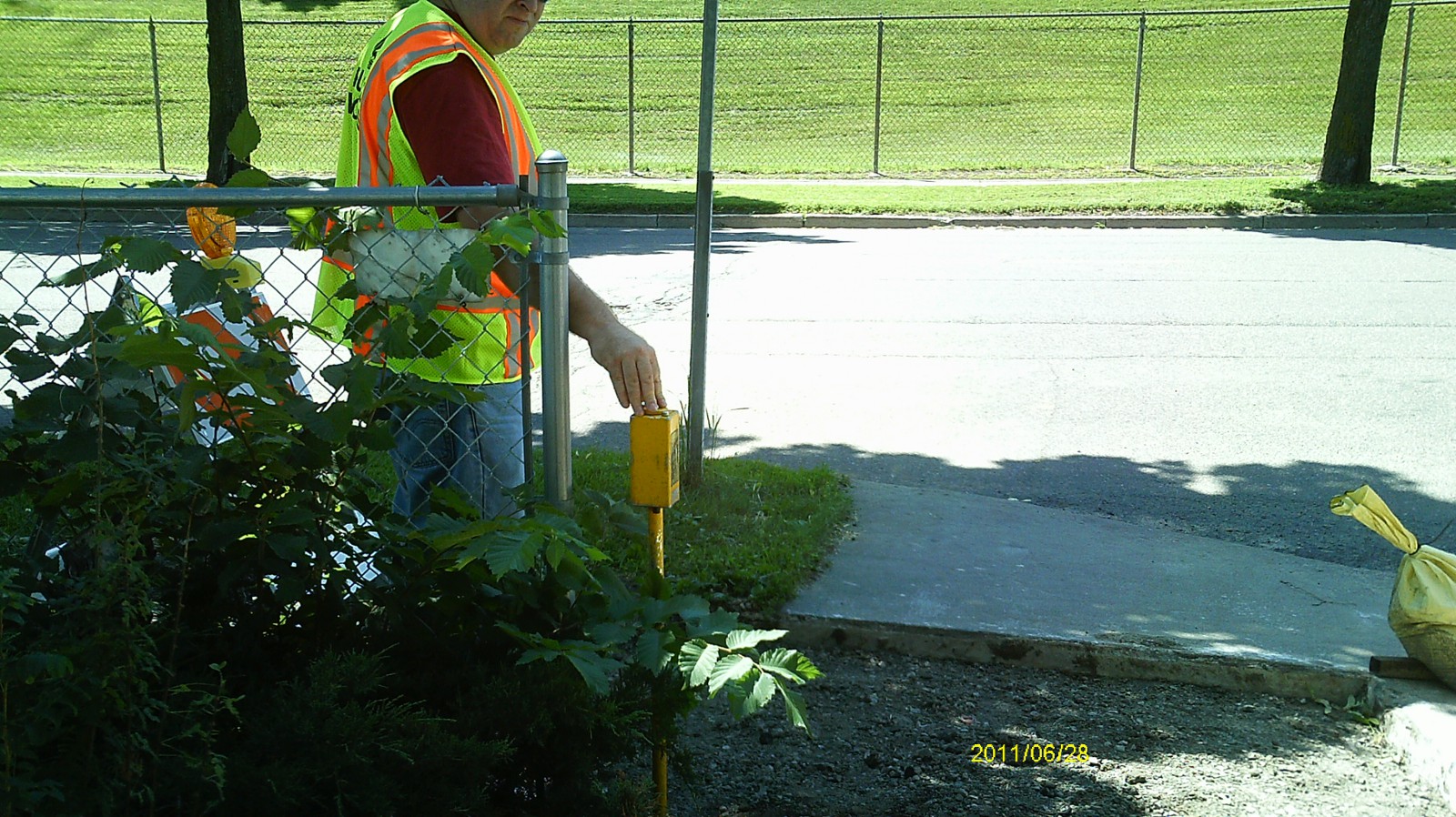
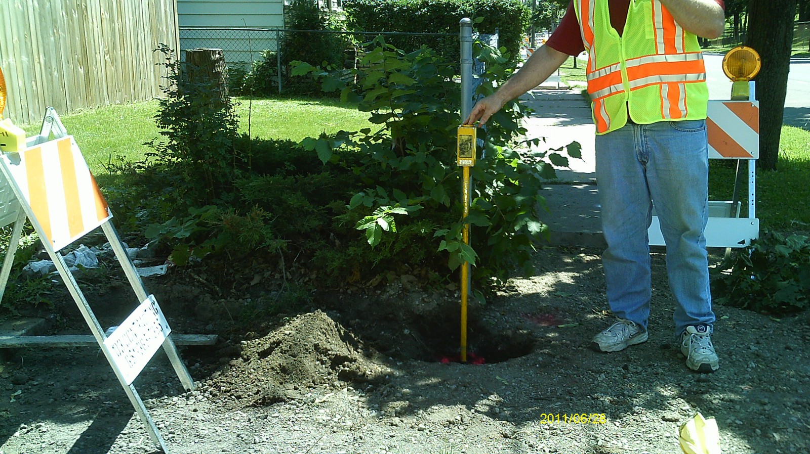
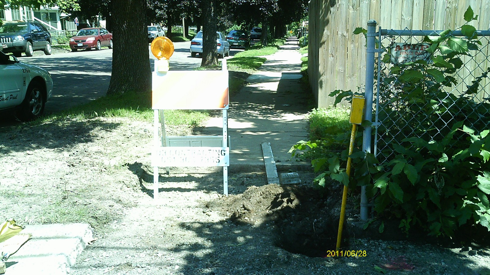
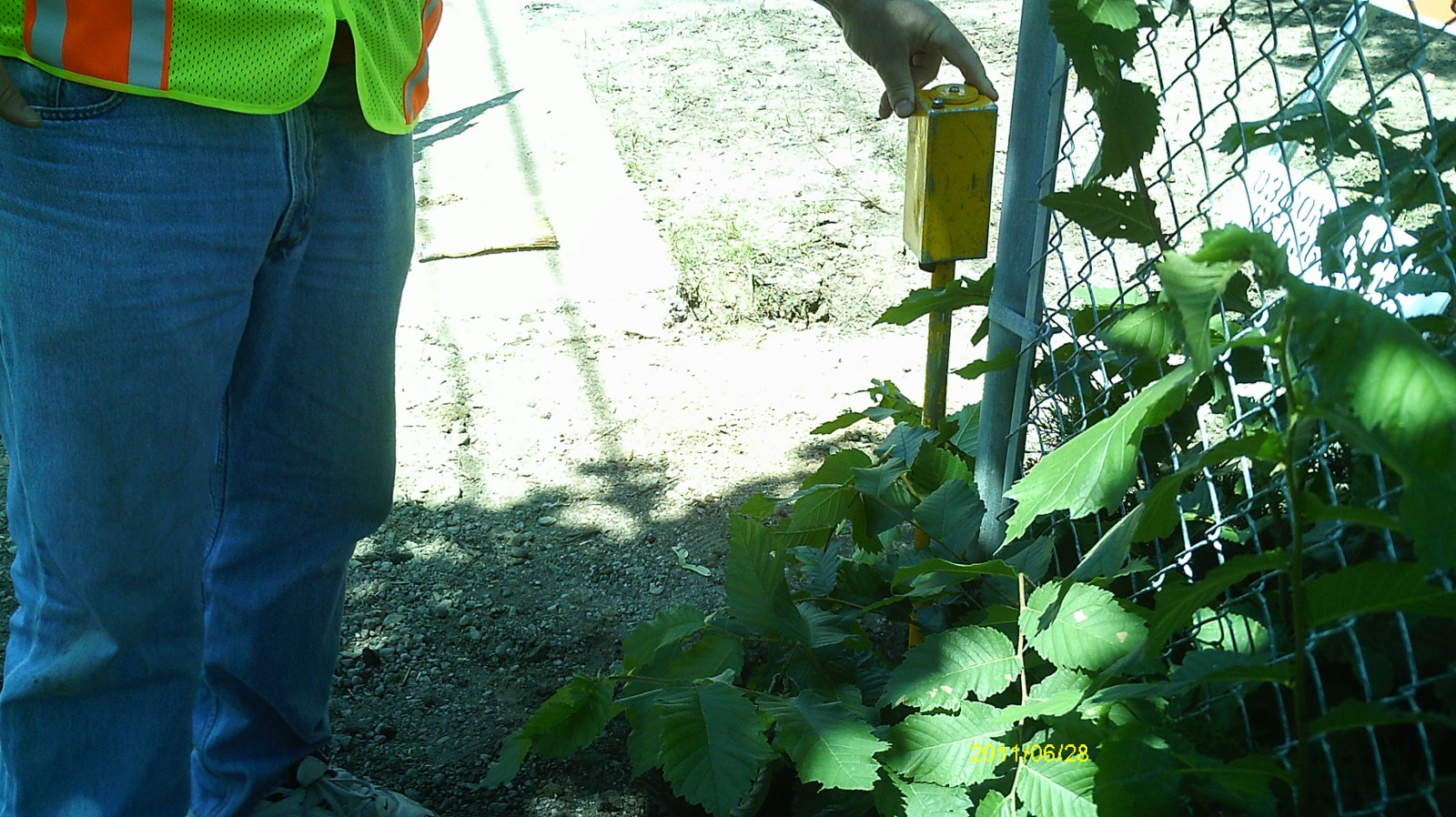
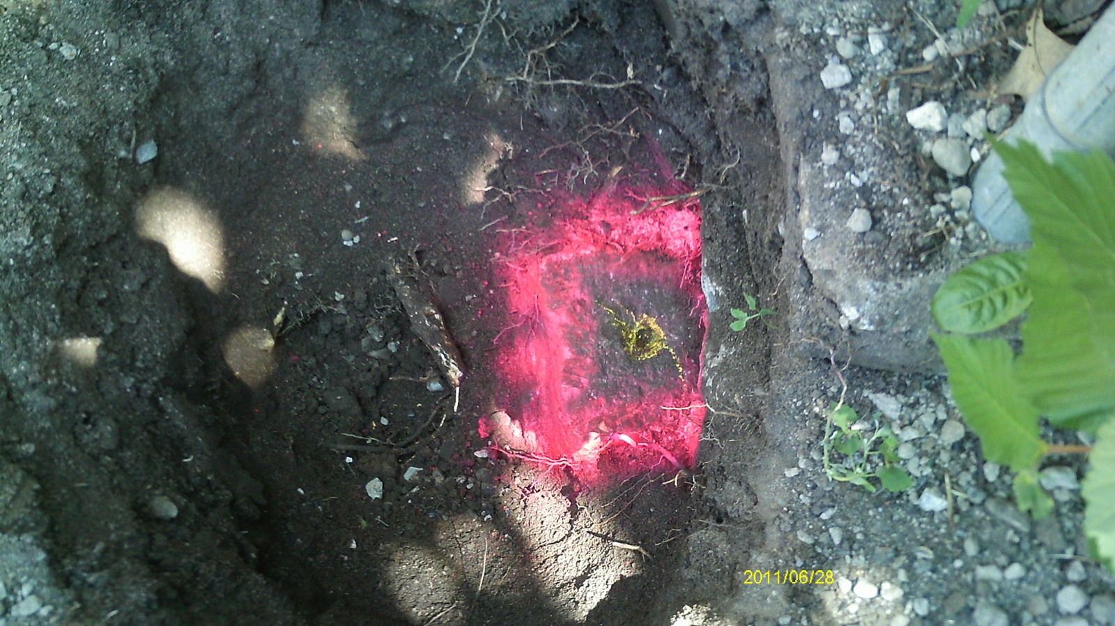
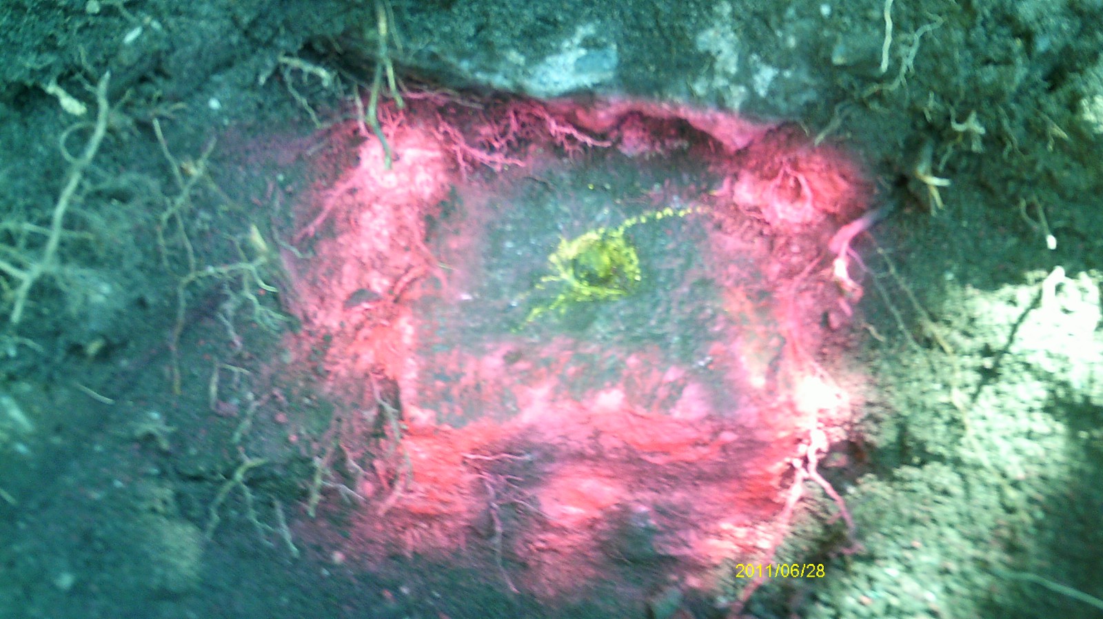
| 6/29/2011 | Found GM beneath sidewalk, 1.0 ft below grade. Photos taken and ties placed using steel tape. |
| 1/23/1890 | Monument reset after grading by Chas Hunt. See Old Index Book, Entry 488 |
Above is NOT an all inclusive history of this point. Please review all the links below.
| PLS NOTES | Field | Cross Section | Sewer | J.B. Irvine | Monument | River Survey |
|---|---|---|---|---|---|---|
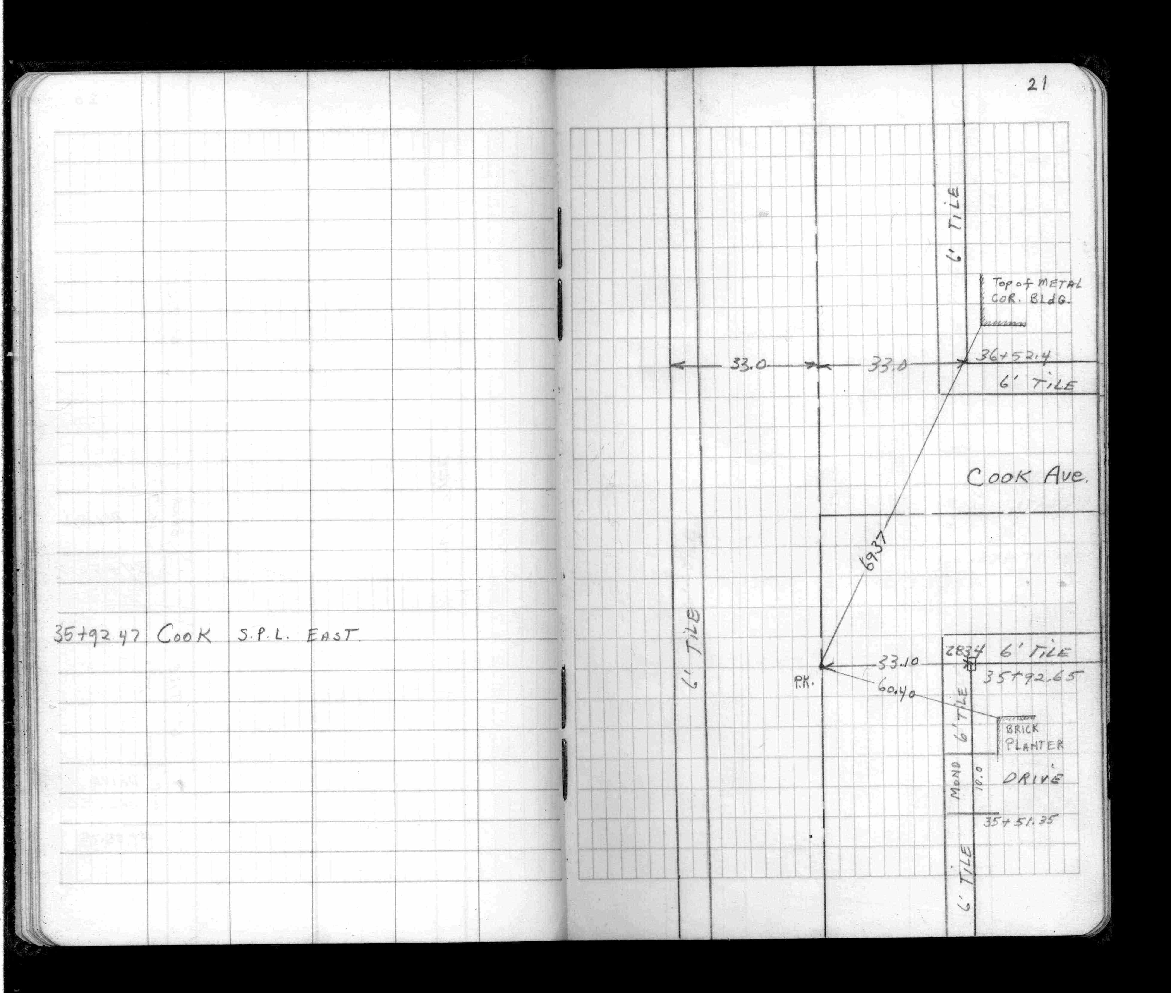
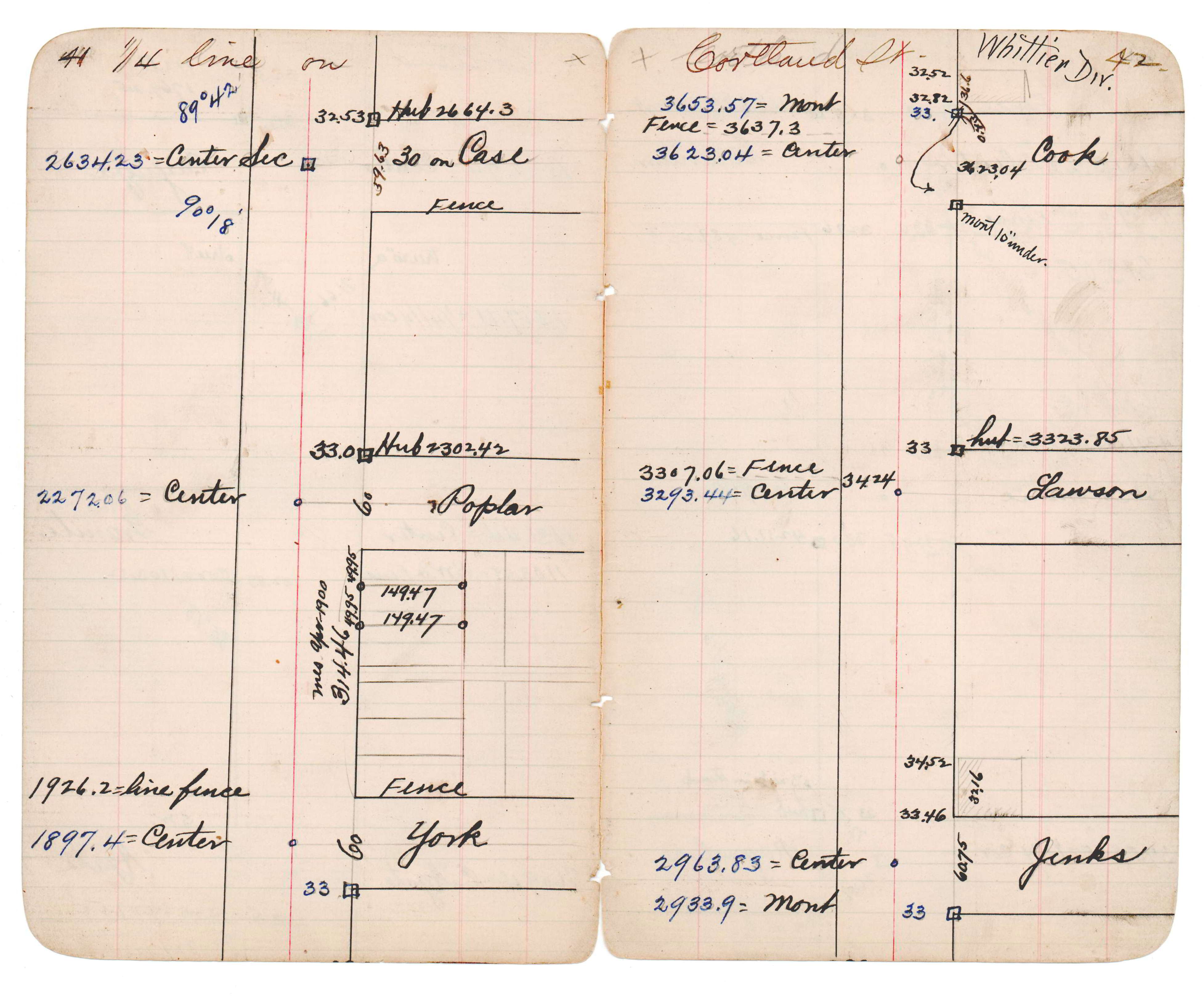
| FB 1512p.21 | JBI 14 p.41-42 | |||||
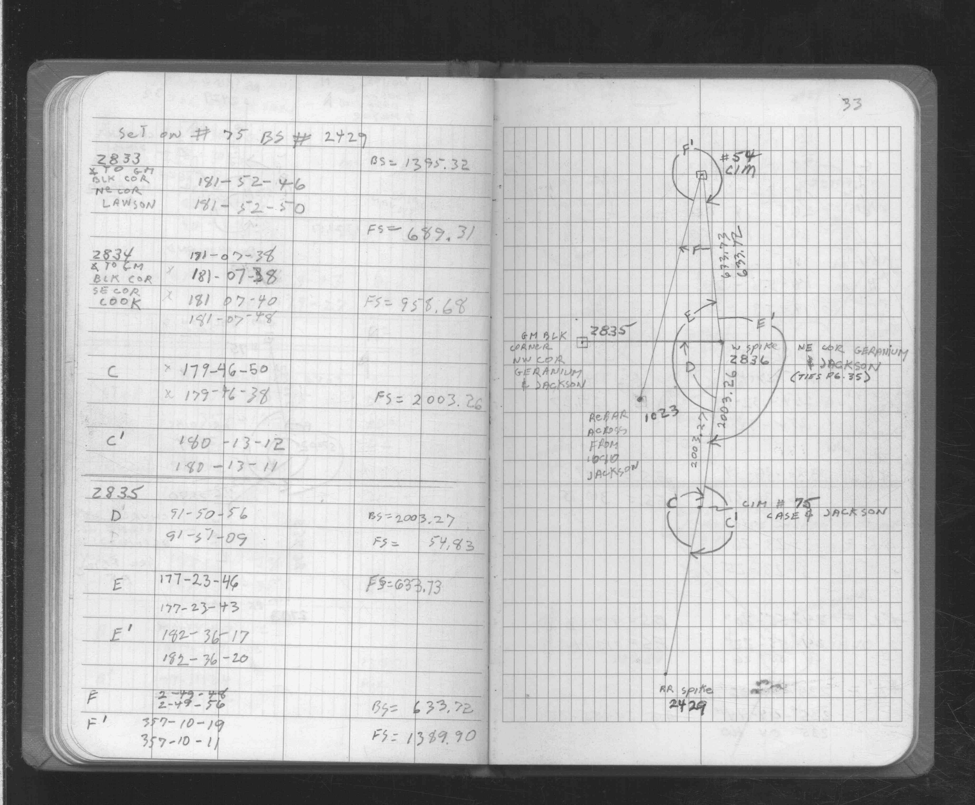
| FB 1725p.33 |
| FILE | SURVEYOR | LIC. NO. | DATE SIGNED | DATE TIED |
|---|---|---|---|---|
| 2834-0498A-B.pdf | Samuel D. Gibson | 44880 | May 21, 2015 | July 18, 2014 |
| 2834-0489A-A.pdf | Samuel D. Gibson | 44880 | August 17, 2012 | June 27, 2011 |
| FILE | PHOTO DATE | COMMENTS |
|---|---|---|
| 2834-0489A-6.jpg | June 29, 2011 | Looking west toward Oakland Cemetery. |
| 2834-0489A-5.jpg | June 29, 2011 | Looking south along Jackson St. |
| 2834-0489A-4.jpg | June 29, 2011 | Looking east along Cook Ave. |
| 2834-0489A-3.jpg | June 29, 2011 | Looking north toward monument. |
| 2834-0489A-2.jpg | June 29, 2011 | Close up of monument. |
| 2834-0489A-1.jpg | June 29, 2011 | Close up of monument. |