| NAD83 COORDINATES (1986 adj.): |
|---|
| X= 574321.835 Y= 163133.991 Z= 000.00 UAJ 01/23/1996 STB |
| NAD83 COORDINATES (1996 adj.): |
|---|
| X= 574321.45 Y= 163134.60 Z= 000.00 12/03/2008 MnDot |
| 7/21/2014 | Placed ties on GM after sidewalk reconstruction. |
| 12/3/2008 | Position on GM set by RTK-VRS GPS Coordinates provided by MnDot. |
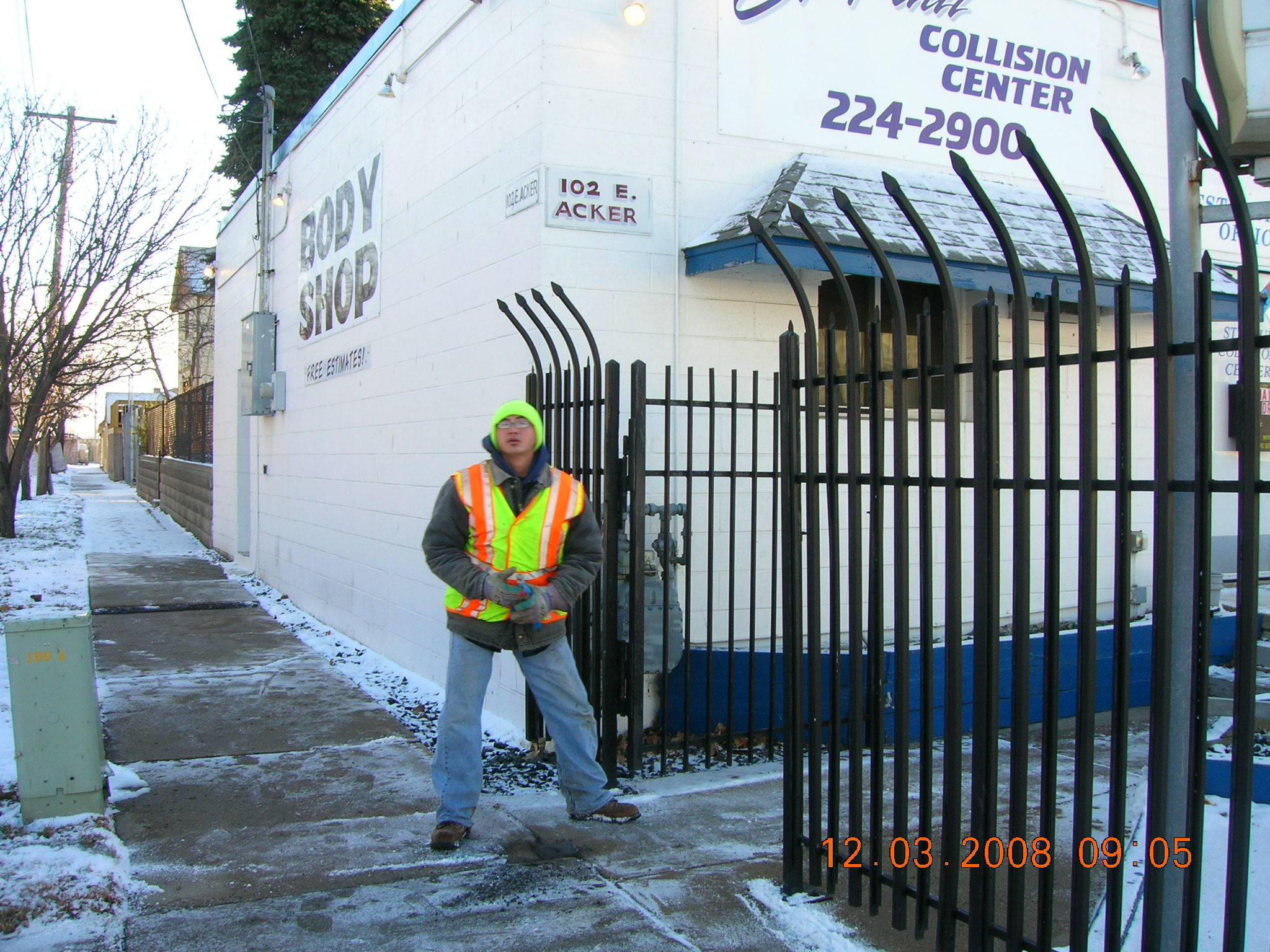
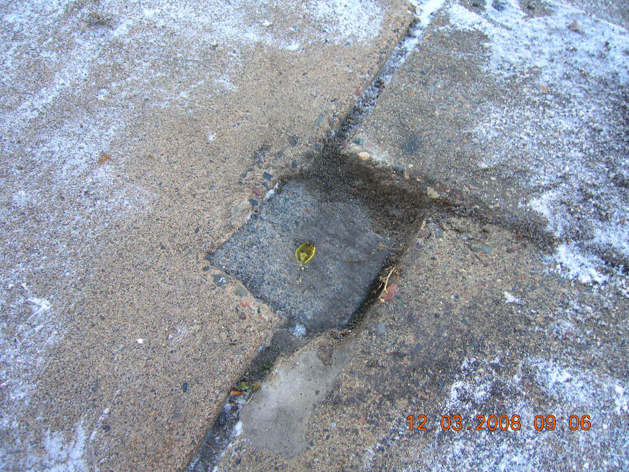
| 12/3/2008 | Fd GM near sidewalk grade. Photos taken. |
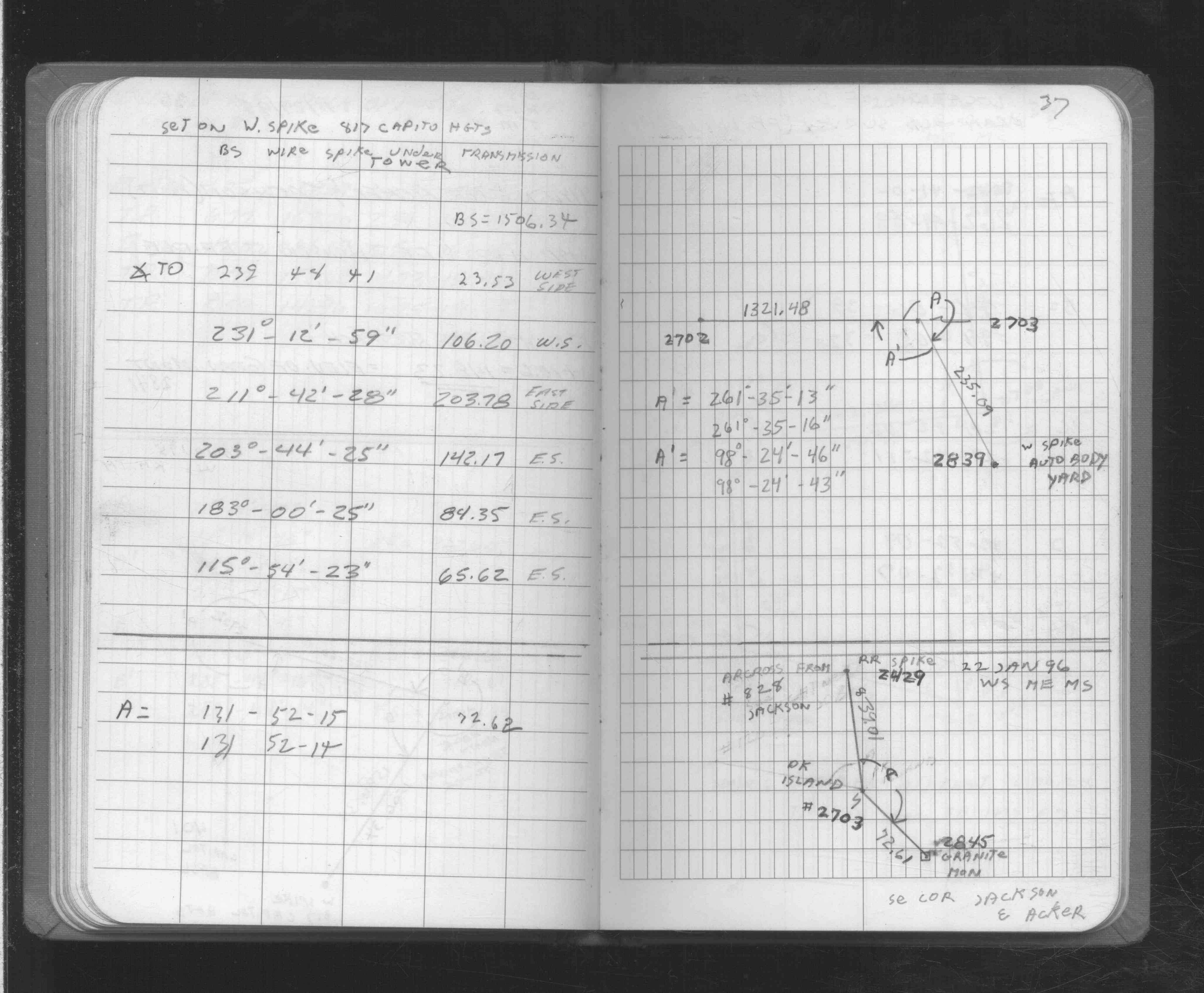
| 1/22/1996 | Located GM by traverse (single stub). See FB 1725 p.37 |
Above is NOT an all inclusive history of this point. Please review all the links below.
| PLS NOTES | Field | Cross Section | Sewer | J.B. Irvine | Monument | River Survey |
|---|---|---|---|---|---|---|
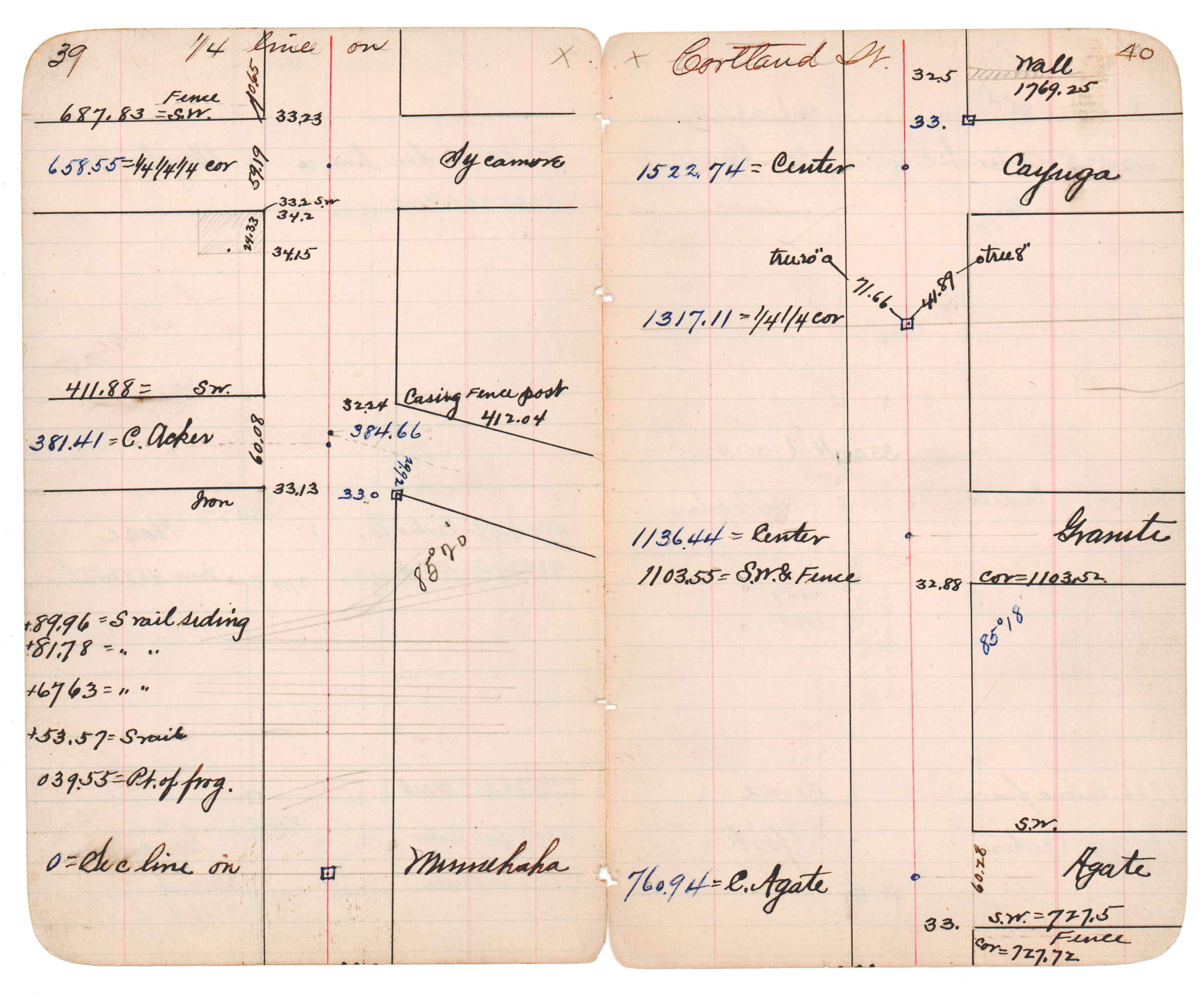
| FB 1725p.37 | JBI 14 p.39-40 | |||||
| FB 1725p.37 |
| FILE | SURVEYOR | LIC. NO. | DATE SIGNED | DATE TIED |
|---|---|---|---|---|
| 2845-1839-A.pdf | Samuel Gibson | 44880 | May 21, 2015 | July 21, 2014 |
| FILE | PHOTO DATE | COMMENTS |
|---|---|---|
| 2845-1839-2.jpg | December 3, 2008 | Looking Easterly along the South side of Acker St. |
| 2845-1839-1.jpg | December 3, 2008 | Close-up of the GM. |