|
FILE
|
PHOTO DATE
|
COMMENTS
|
|
3427-2576-9.jpg
|
January 24, 2008
|
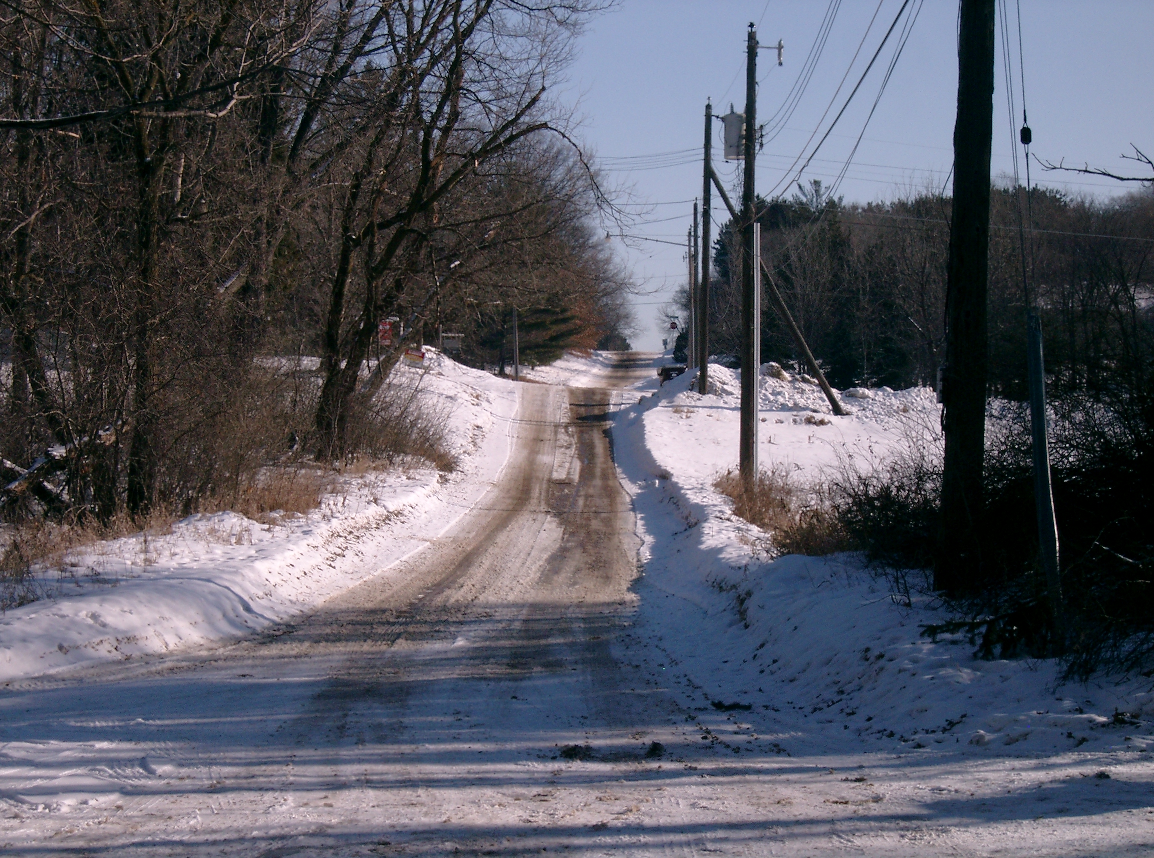
Looking West on Mailand at end of the road, in front of house #2150.
|
|
3427-2576-8.jpg
|
January 24, 2008
|
Looking East on Mailand in front of house #2150.
|
|
3427-2576-25.jpg
|
January 24, 2008
|
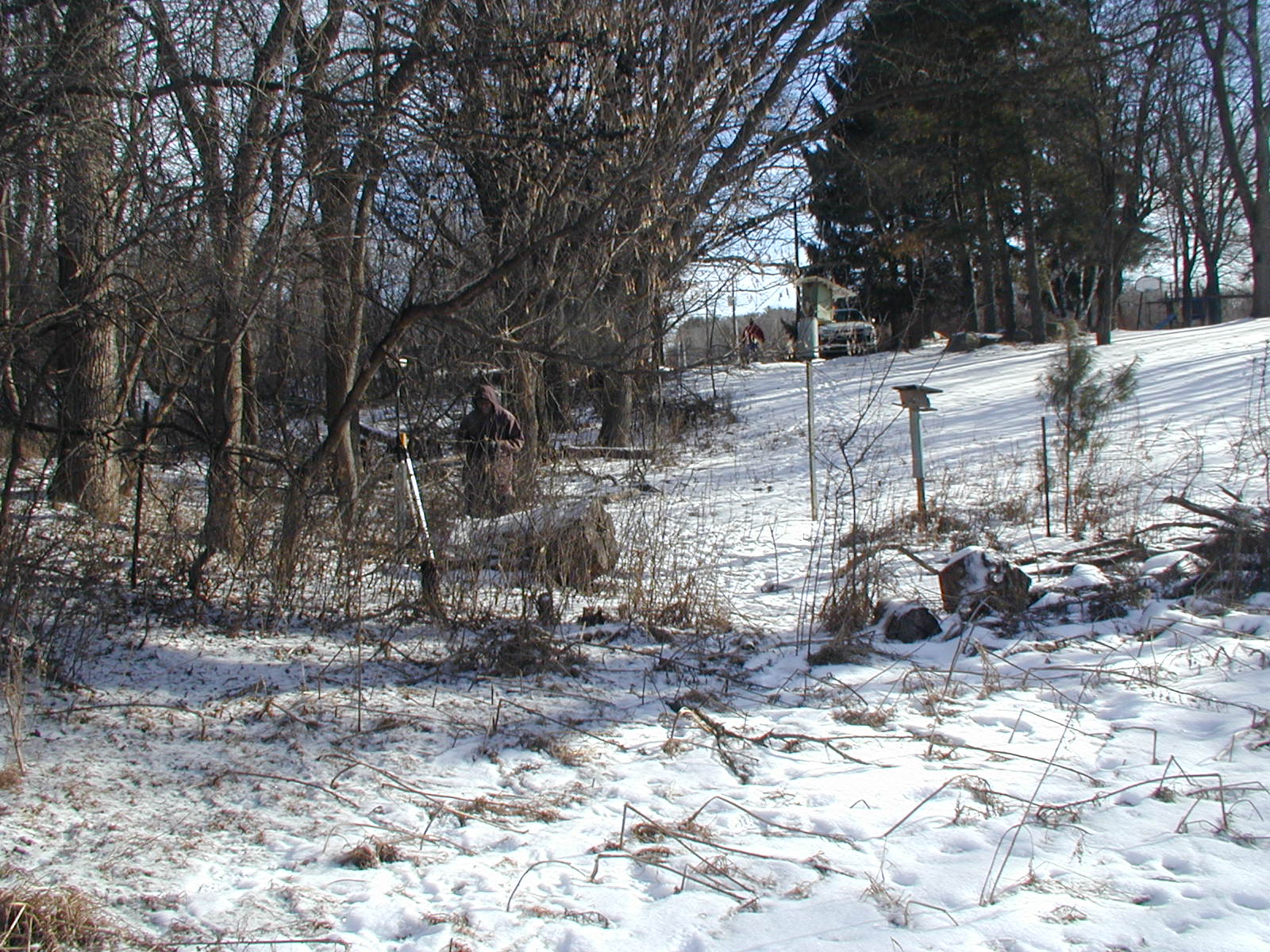
Looking West, from end of Mailand towards GM.
|
|
3427-2576-24.jpg
|
January 24, 2008
|
Looking South towards GM.
|
|
3427-2576-23.jpg
|
January 24, 2008
|
Looking East, towards Mailand; GM in foreground.
|
|
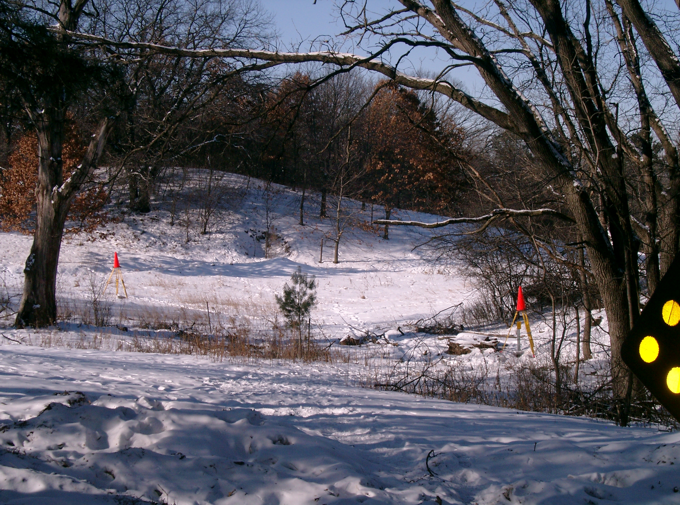
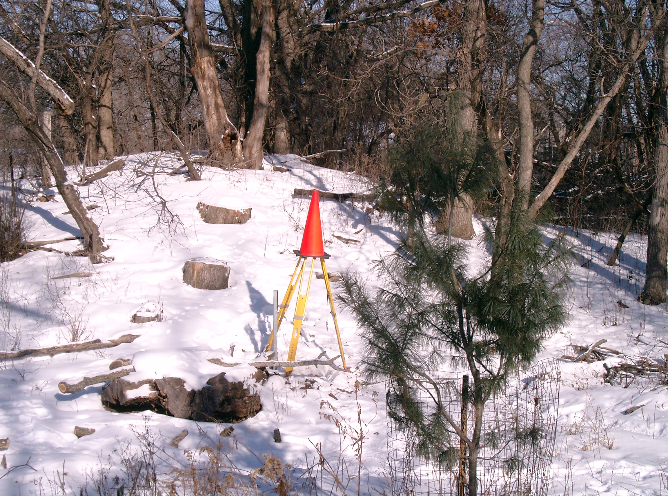
3427-2576-22.jpg
|
January 24, 2008
|
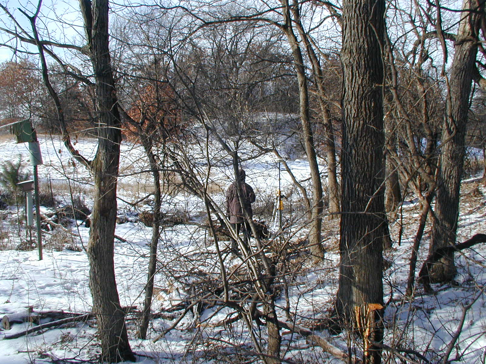
Looking North at GM; note trees removed (compare with 3427-2576-3).
|
|
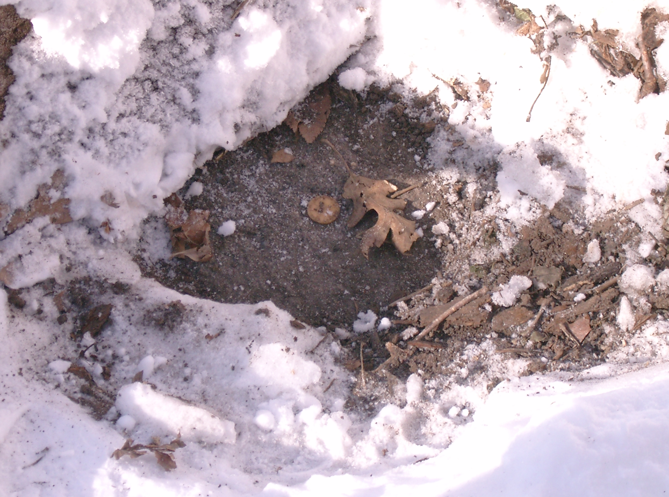
3427-2576-21.jpg
|
January 24, 2008
|
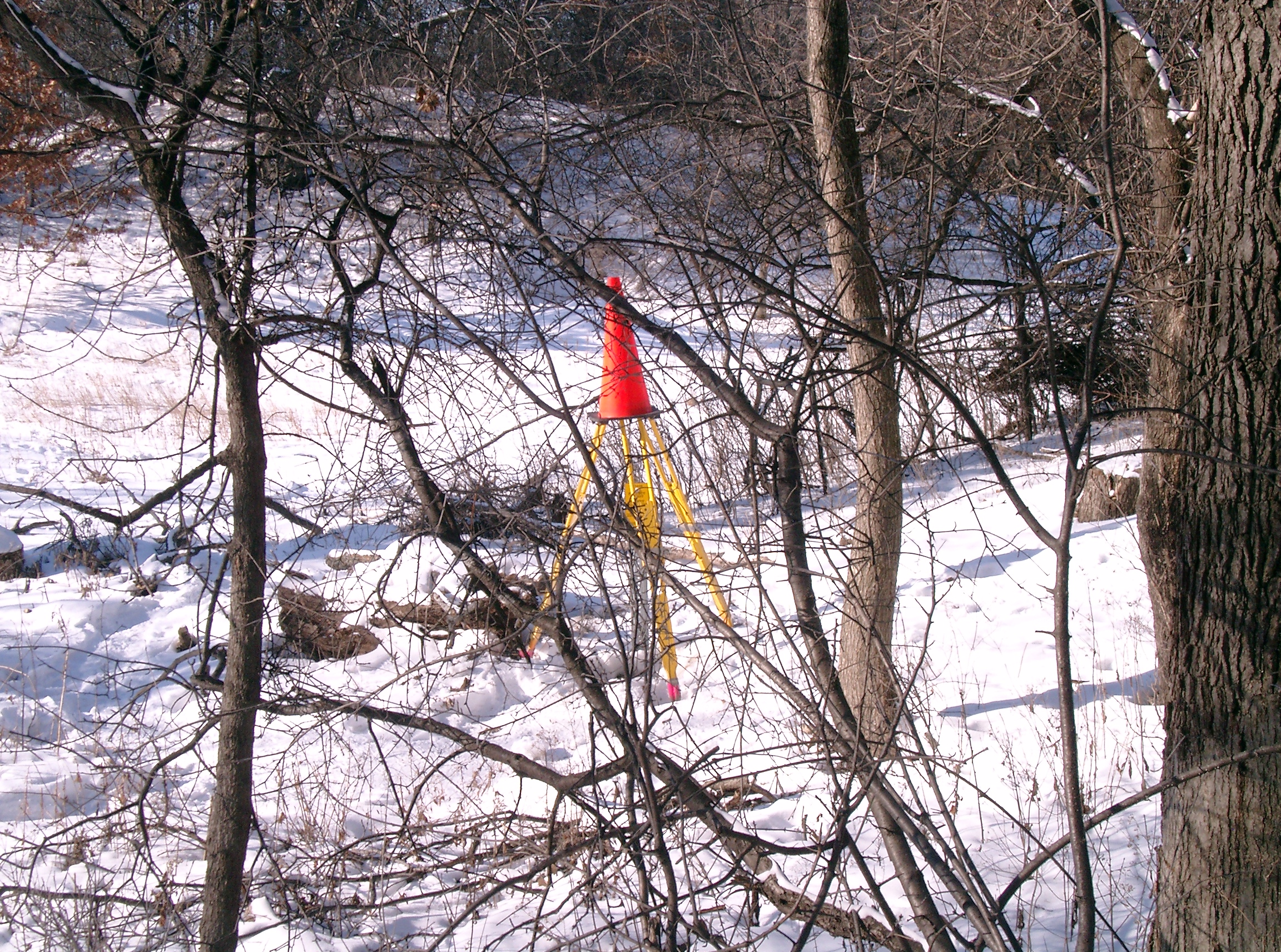
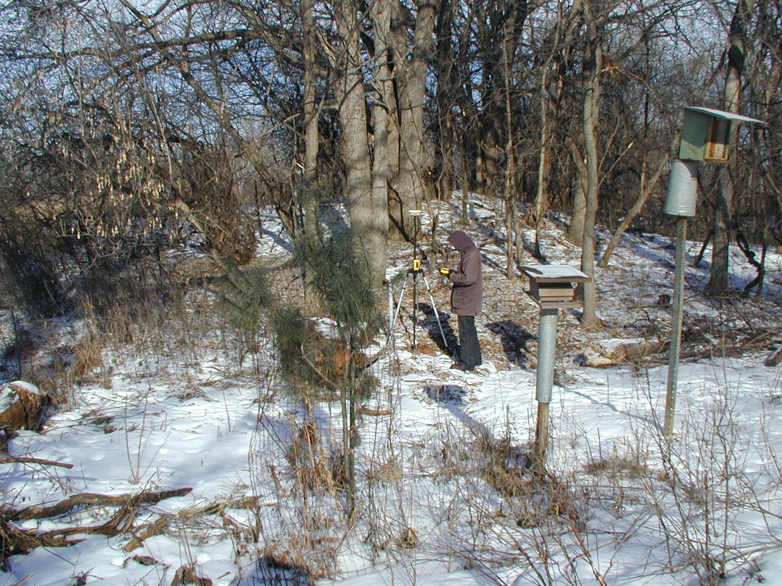
Close-up of GM.
|
|
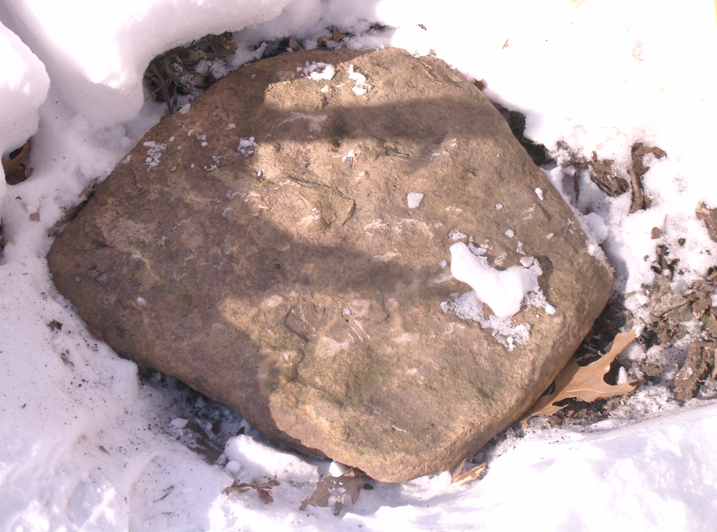
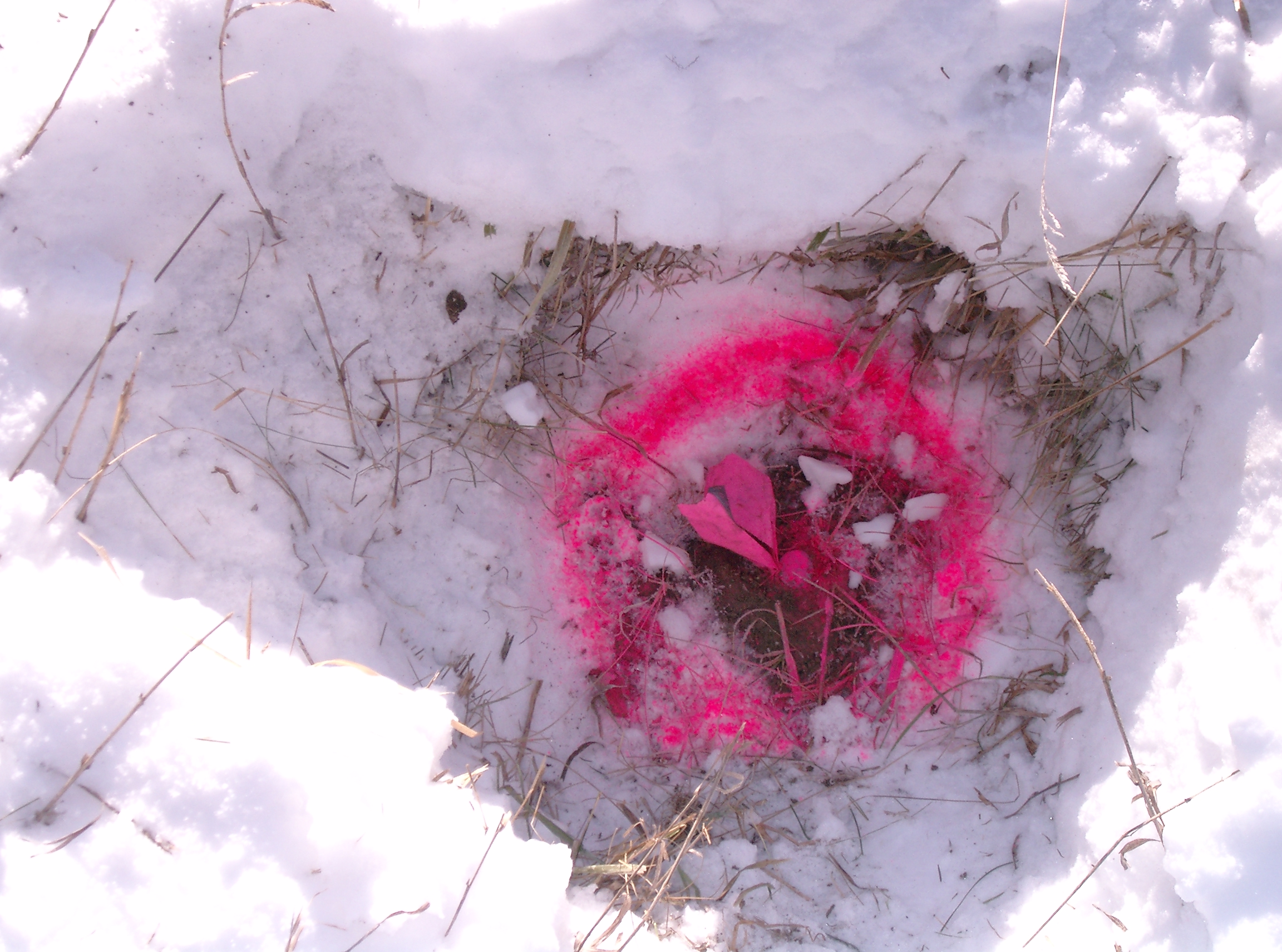
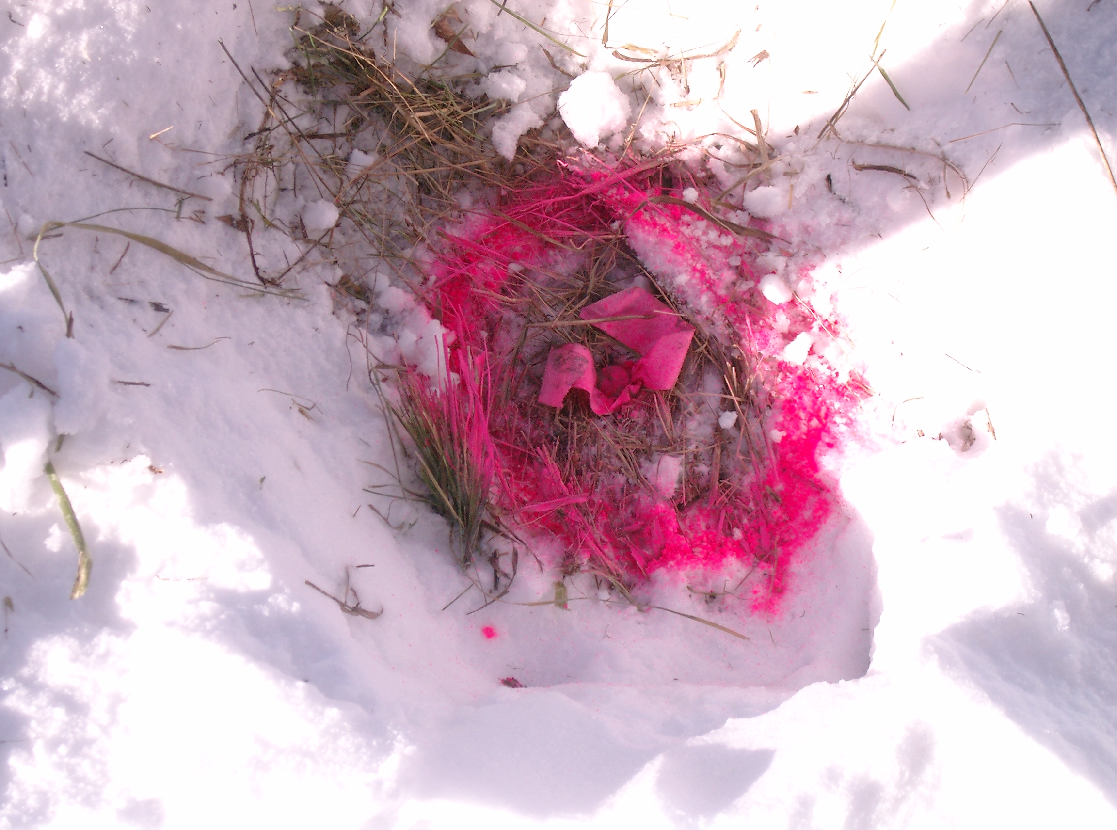
3427-2576-20.jpg
|
January 24, 2008
|
Looking at sandstone rock covering GM.
|
|
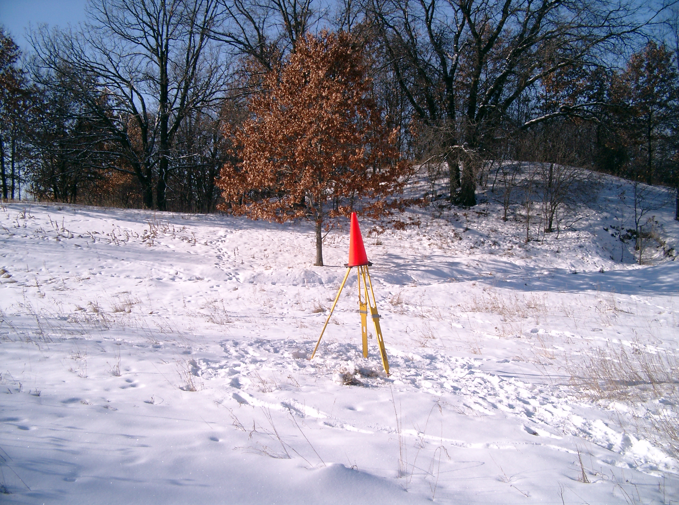
3427-2576-19.jpg
|
January 24, 2008
|
Looking West at GPS-spike #3851, South of Mailand (produced).
|
|
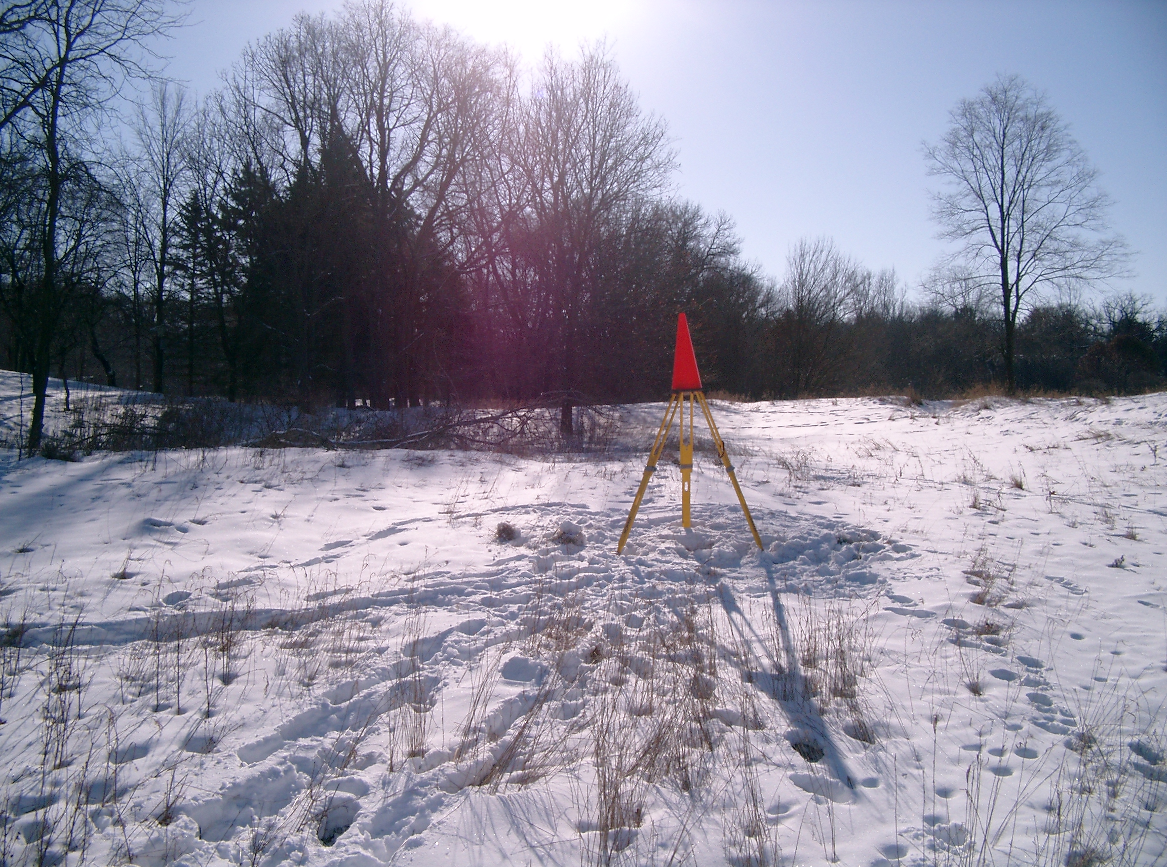
3427-2576-18.jpg
|
January 24, 2008
|
Looking South at GPS-spike #3850, North of Mailand (produced).
|
|
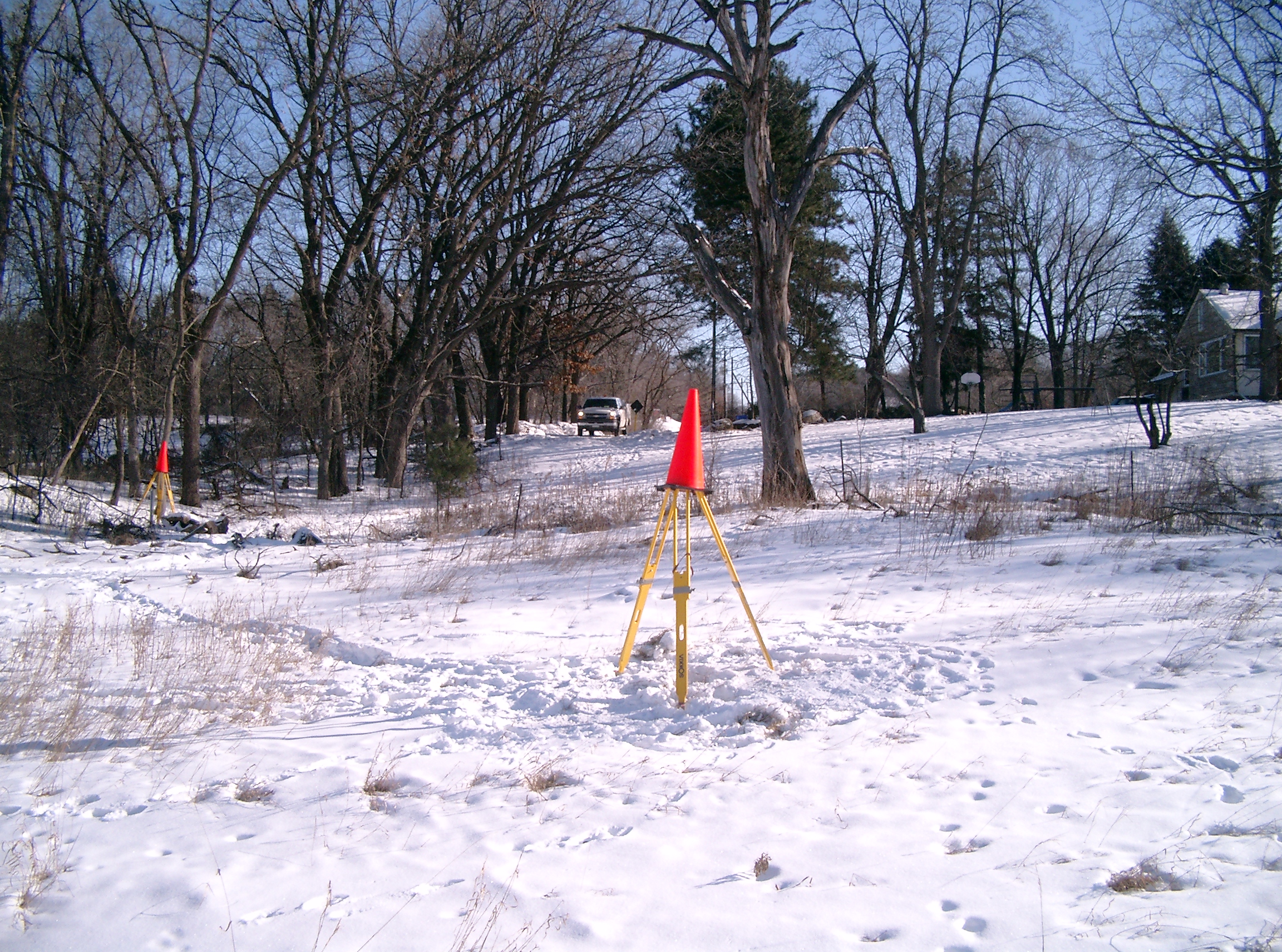
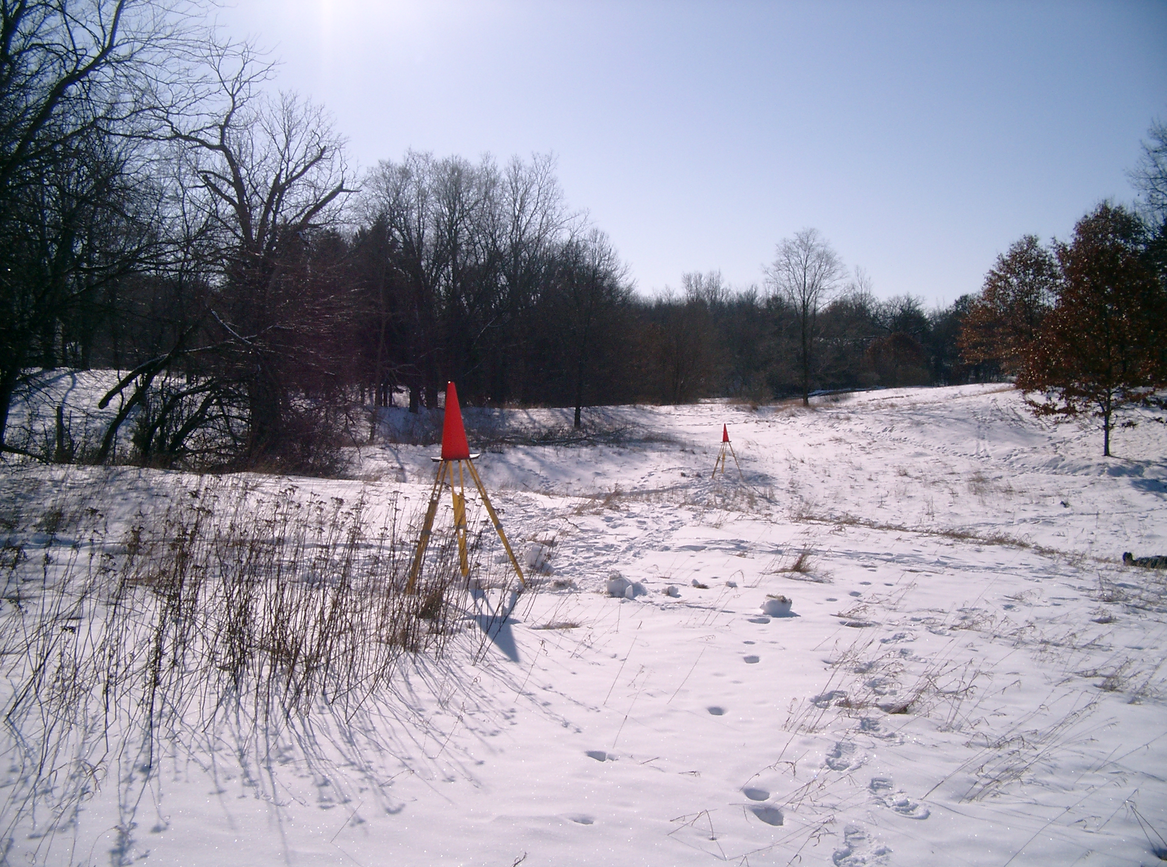
3427-2576-17.jpg
|
January 24, 2008
|
Looking East, along Mailand; GPS-spike #3851 in foreground, GM in background.
|
|
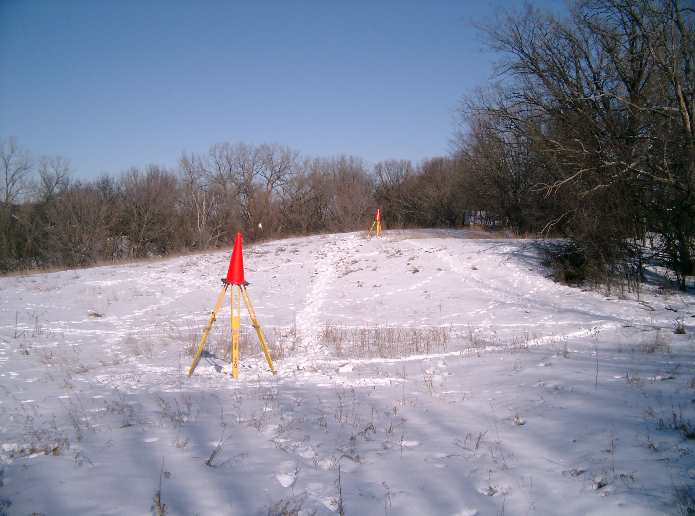
3427-2576-16.jpg
|
January 24, 2008
|
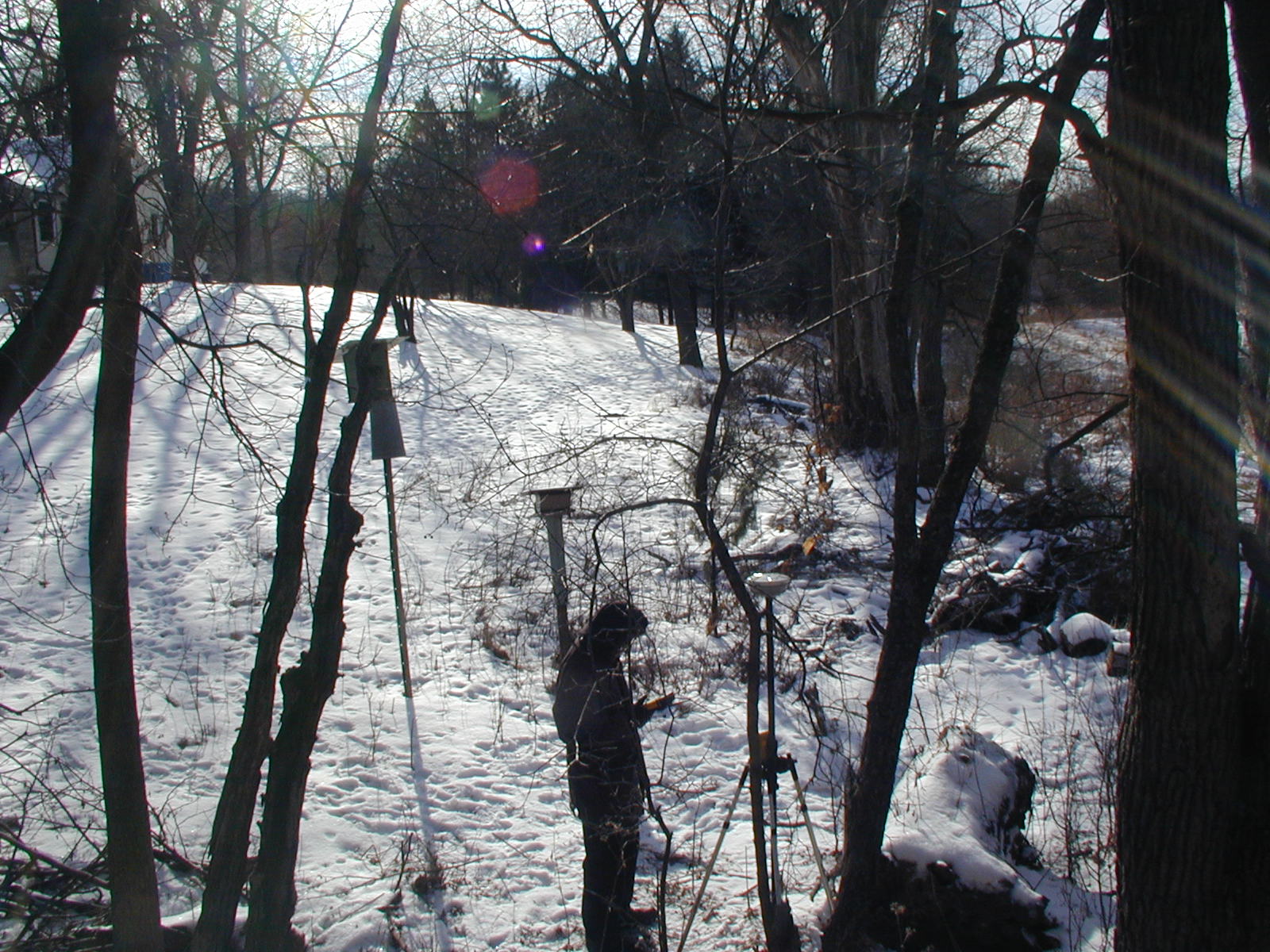
Looking North, GPS-spike #3851 in foreground, GPS-spike #3850 in background.
|
|
3427-2576-15.jpg
|
January 24, 2008
|
Looking at GPS-spike #3850, South of Mailand (produced).
|
|
3427-2576-14.jpg
|
January 24, 2008
|
Looking North at GPS-spike #3850, North of Mailand (produced).
|
|
3427-2576-13.jpg
|
January 24, 2008
|
Looking South, GPS-spike #3850 in foreground, GPS-spike #3851 in background.
|
|
3427-2576-12.jpg
|
January 24, 2008
|
Looking East at GPS-spike #3850, North of Mailand (produced).
|
|
3427-2576-11.jpg
|
January 24, 2008
|
Looking North at GPS-spike #3850, North of Mailand (produced).
|
|
3427-2576-10.jpg
|
January 24, 2008
|
Looking at GPS-spike #3851, south of Mailand (produced).
|
|
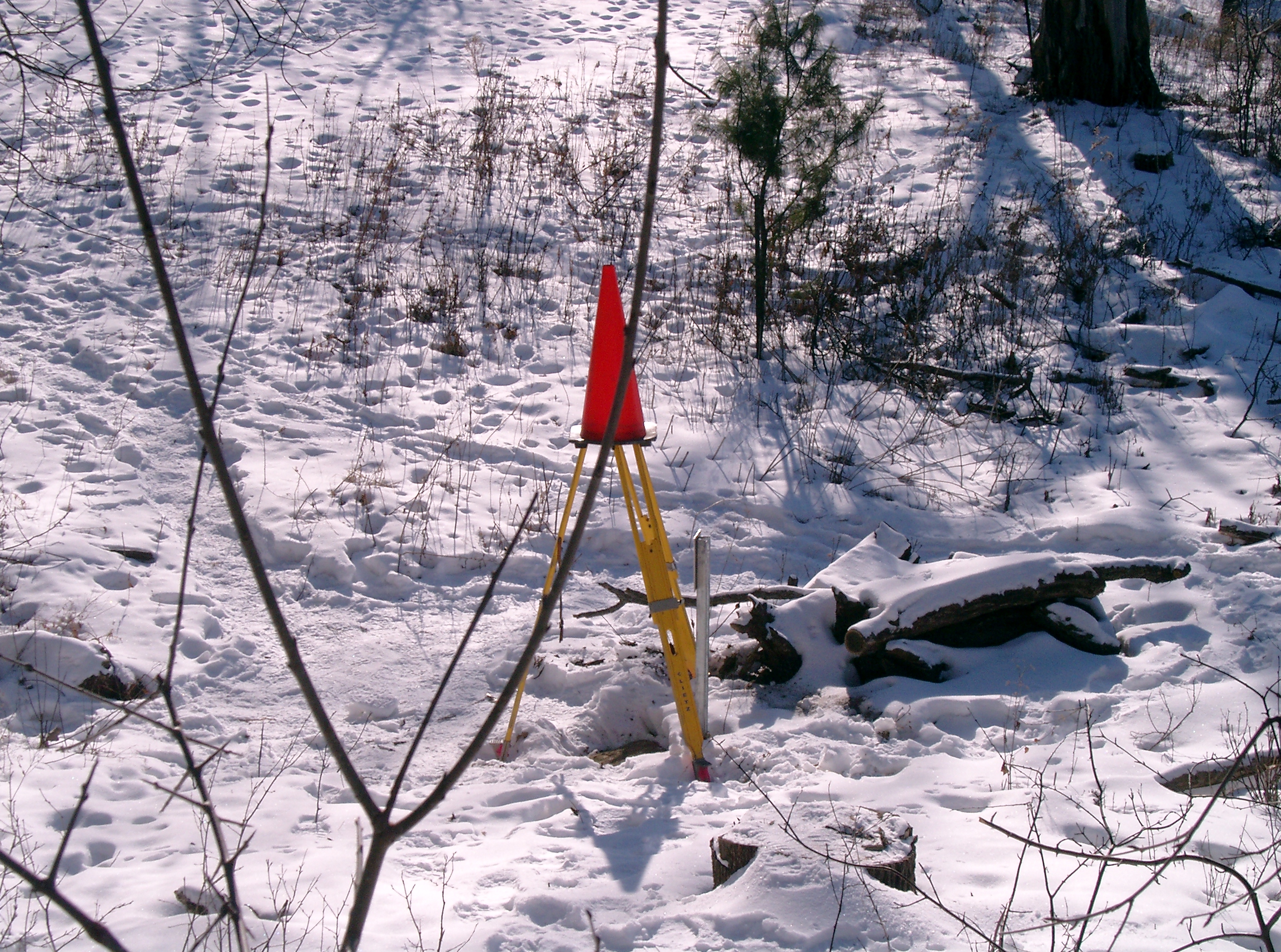
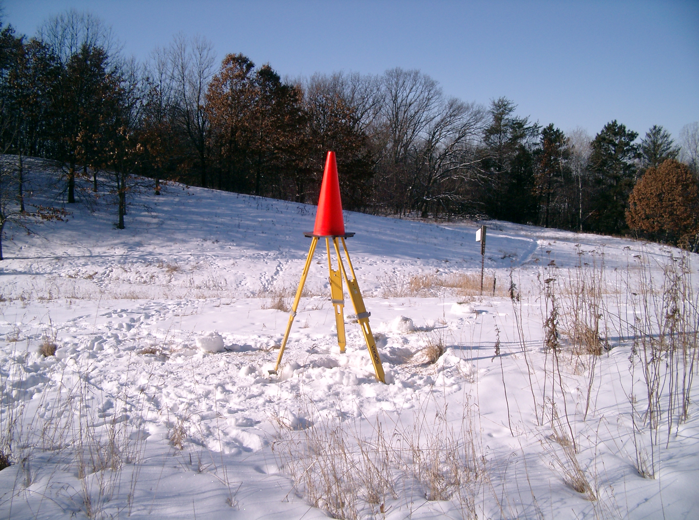
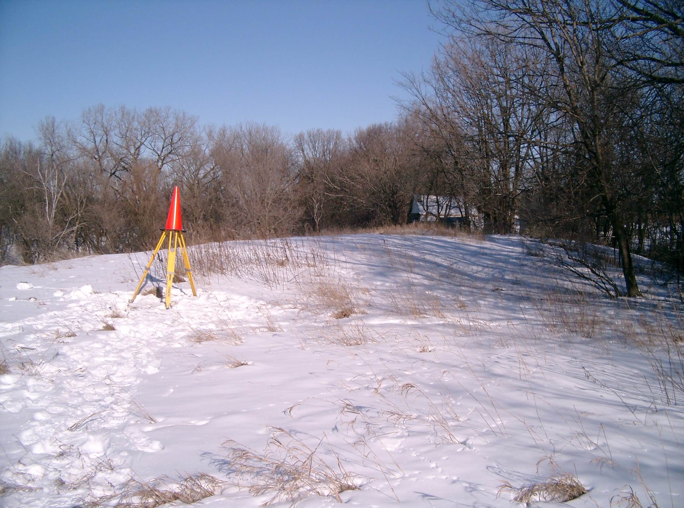
3427-2576-7.jpg
|
February 1, 2007
|
Looking West from the road towards the monument.
|
|
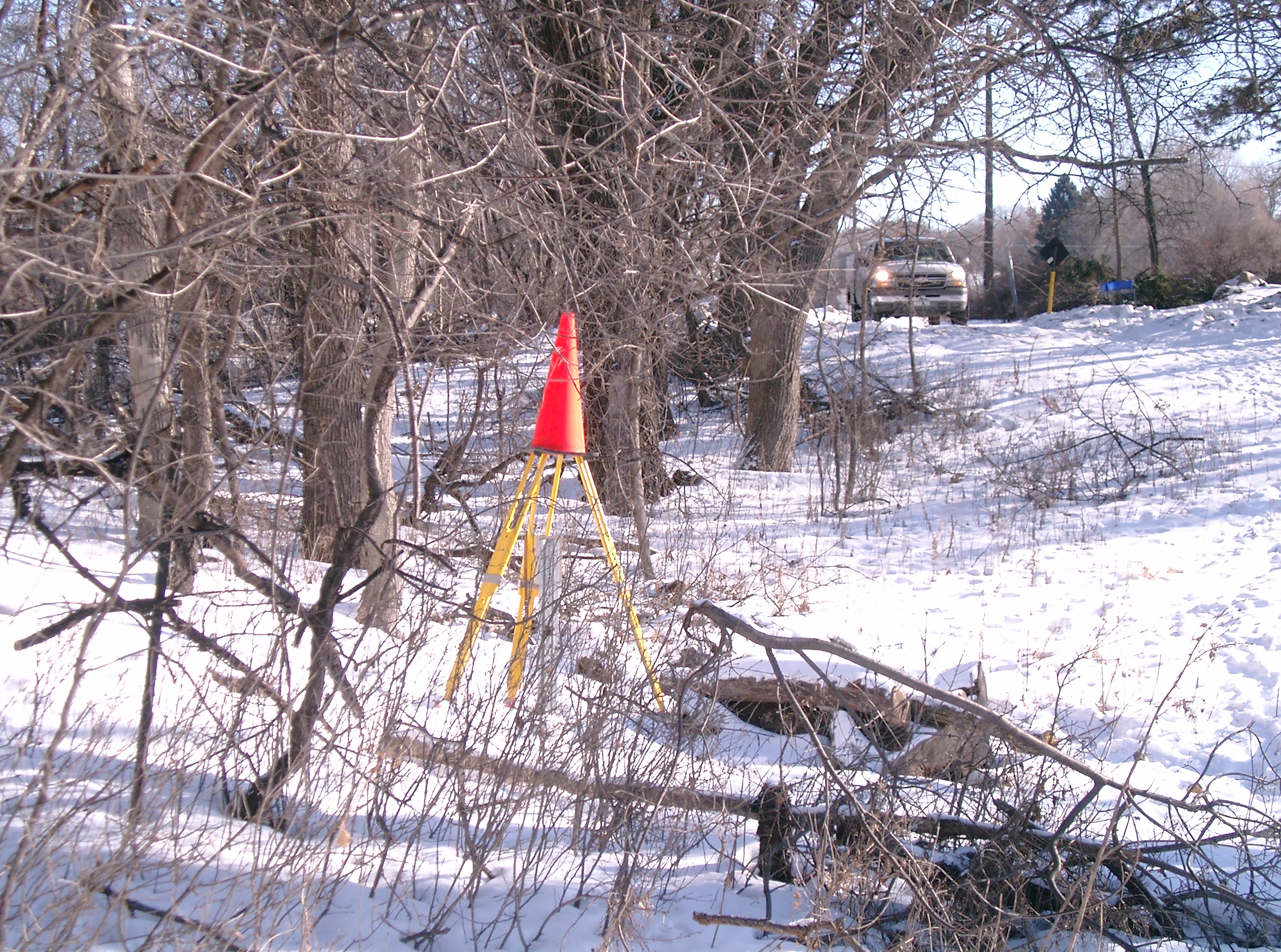
3427-2576-6.jpg
|
February 1, 2007
|
Looking West towards the monument.
|
|
3427-2576-5.jpg
|
February 1, 2007
|
Looking South towards the monument.
|
|
3427-2576-4.jpg
|
February 1, 2007
|
Looking East towards the monument and the road.
|
|
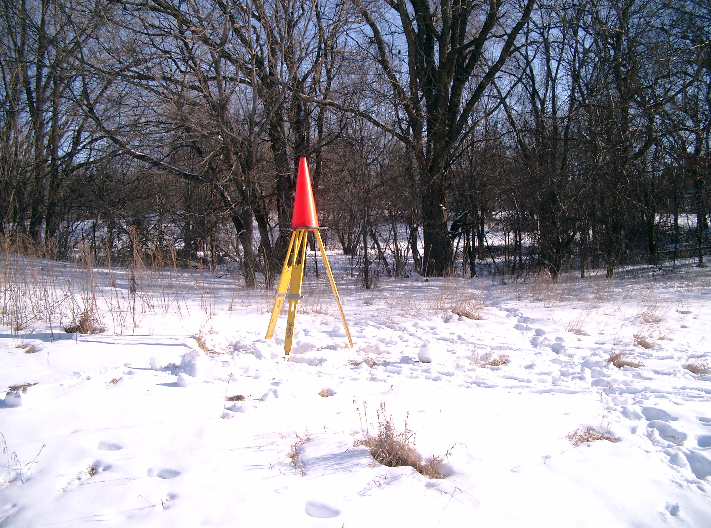
3427-2576-3.jpg
|
February 1, 2007
|
Looking North towards the monument.
|
|
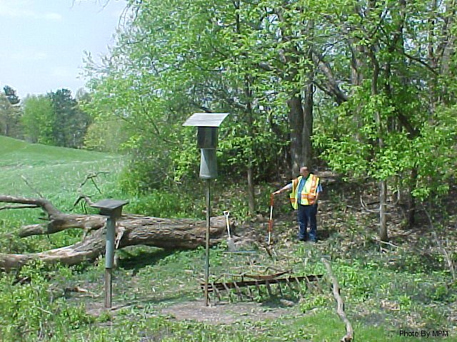
3427-2576-2.jpg
|
May 22, 2002
|
Looking northwesterly towards the monument.
|
|
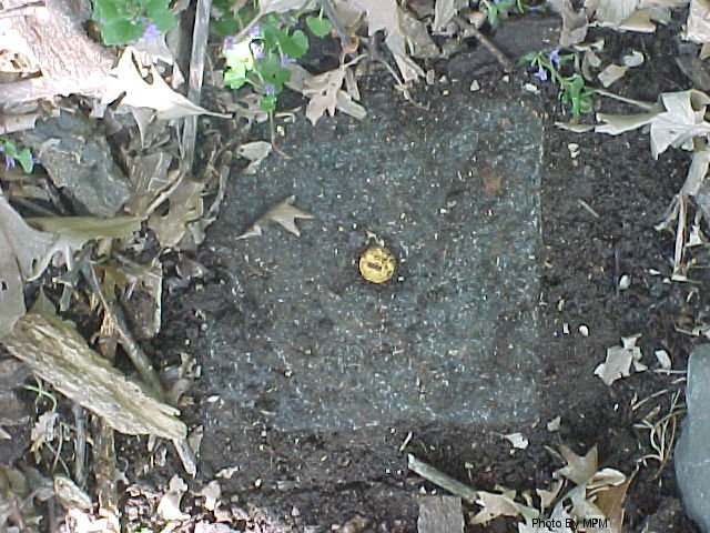
3427-2576-1.jpg
|
May 22, 2002
|
Close up of GM.
|