| NAD83 COORDINATES (1986 adj.): |
|---|
| X= 549124.28 Y= 167191.86 Z= 892.00 03/25/2008 RTK-VRS |
| X= 549124.391 Y= 167191.758 Z= 198.09 TOT 10/05/2000 STB |
| X= 549124.27 Y= 167191.71 Z= 892.1 11/9/2009 RTK-VRS |
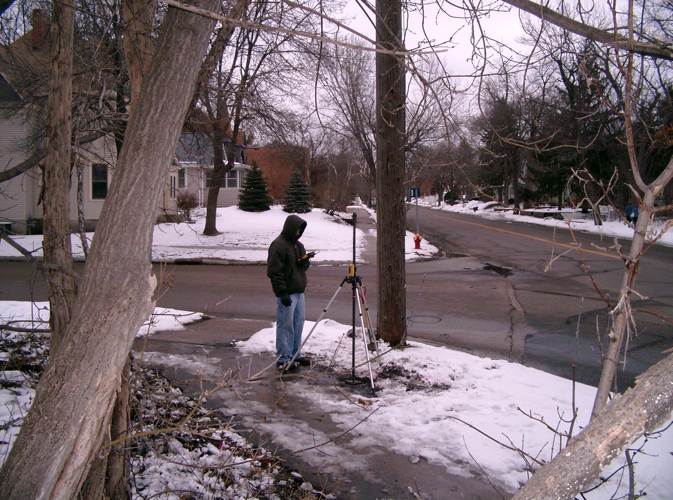
| 11/9/2009 | Position on the CIM established by RTK-VRS GPS Elev. 892.1 ft. |
| 11/6/2009 | Placed ties on the newly set CIM after the GM was removed during the construction of a new bridge. See CofL 3504-2070-A.pdf |
| 3/14/2009 | Photos taken. |
| 3/25/2008 | Photos taken. |
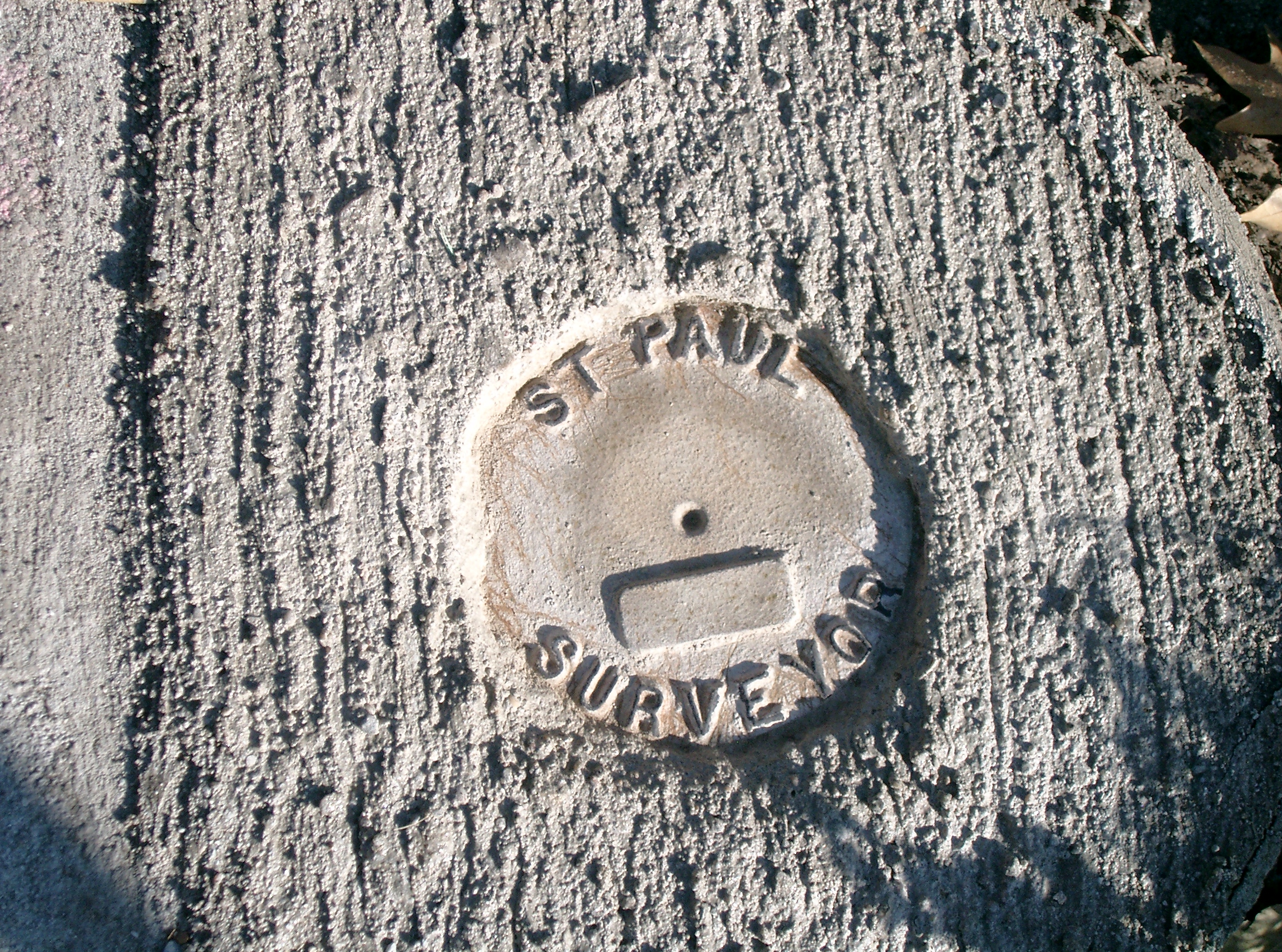
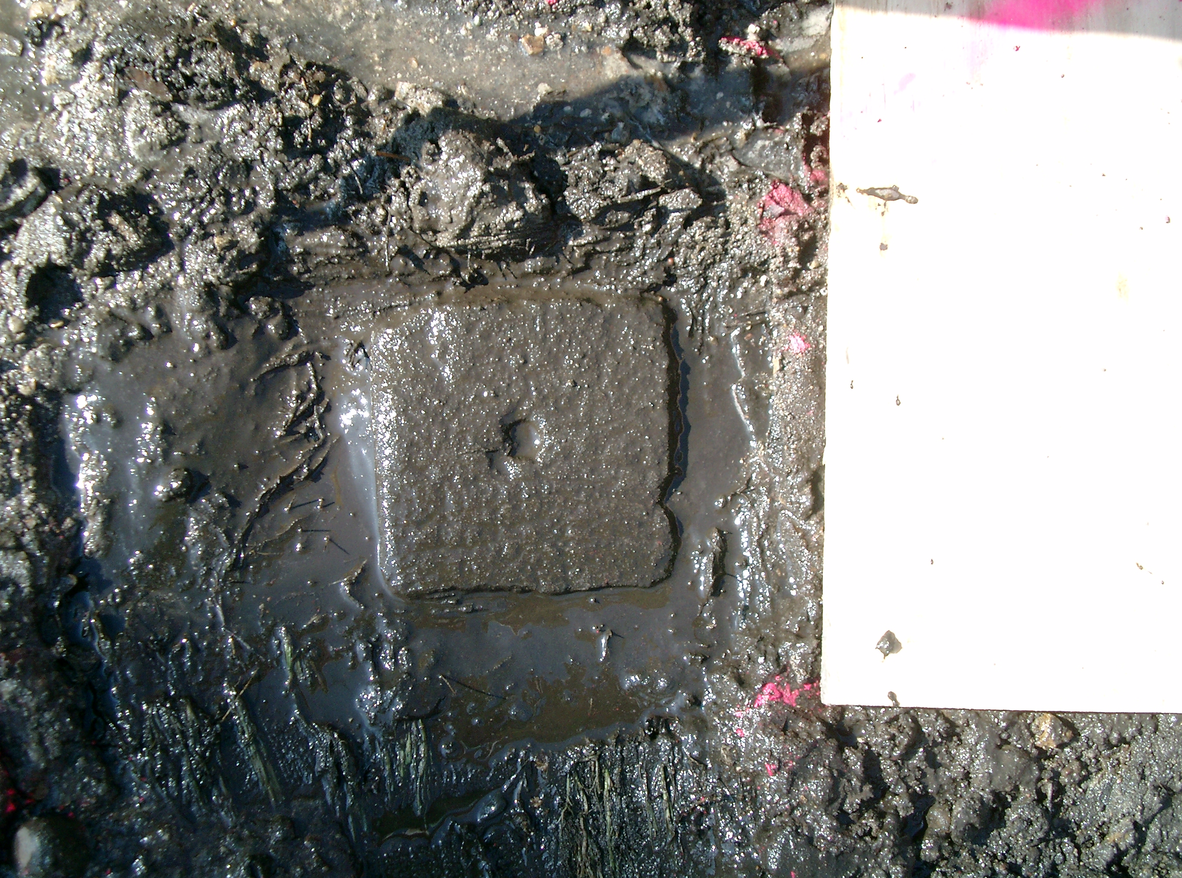
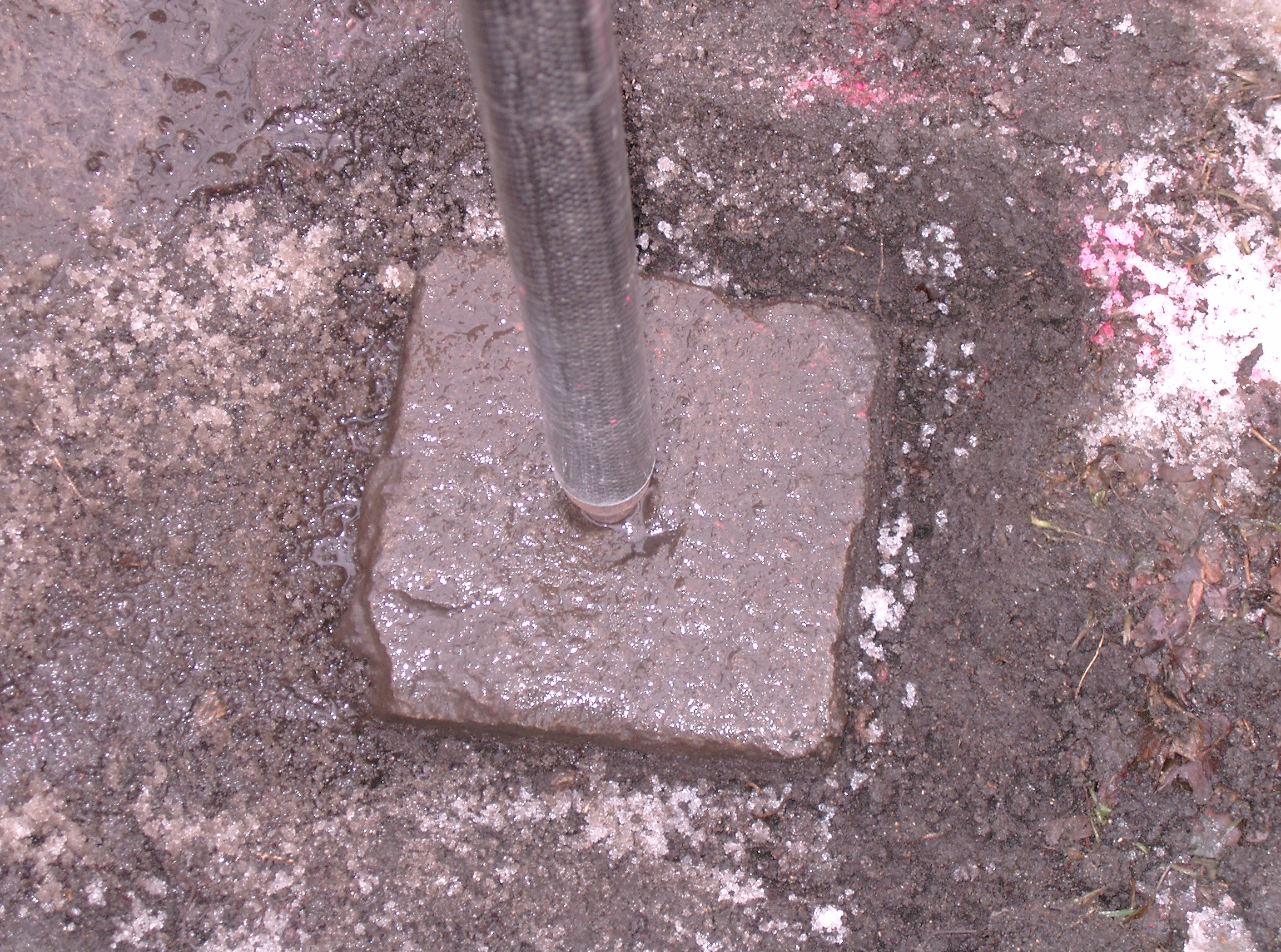
| 3/25/2008 | Found GM at sidewalk grade. Position on GM established by RTK-VRS GPS Elev 892.0 ft. Placed ties. See CofL 3504-2070-B |
| 12/10/2001 | Reset GM from trav pts. at 2171 bs 1860 fs 3504 cw ang 212-06-06 dist 291.70 ft. See /2000/p8121/e-langford/elangfor.sdr |
| 12/10/2001 | Fd GM tipped, reset, placed ties. See CofL 3504-2070-A |
| 11/1/2001 | (Unknown date Nov __, 2001 ) Fd GM tipped. |
| 6/21/2000 | Located GM at Elev 198.09 ft. See 2000/p8121/monuments/monts.sdr (pt 5002) |
| 5/24/2000 | Fd GM at sidewalk grade, painted top with pink paint. |
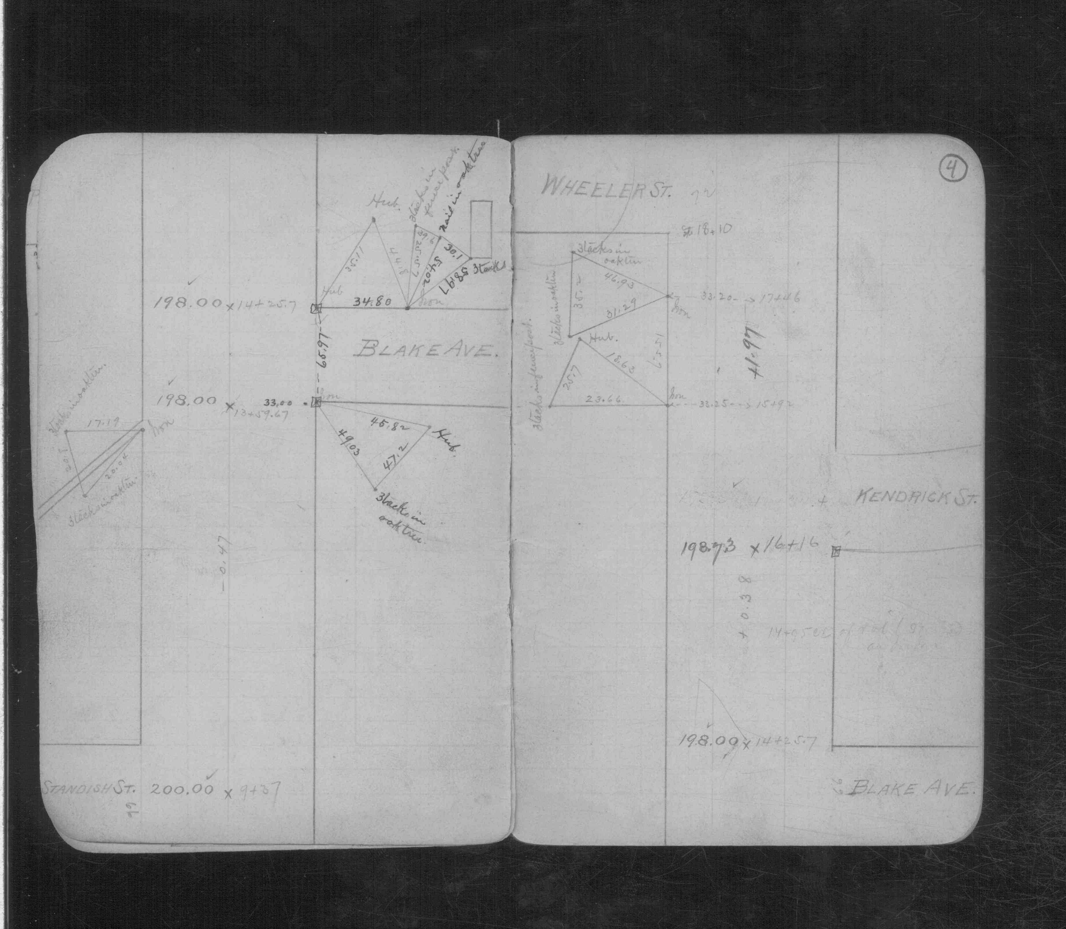
| 2/1/1890 | (Unknown date Feb __, 1890 ) Monument set by Chas A Hunt See CS 843 p.4 |
Above is NOT an all inclusive history of this point. Please review all the links below.
| PLS NOTES | Field | Cross Section | Sewer | J.B. Irvine | Monument | River Survey |
|---|---|---|---|---|---|---|
| CS 0843p.04 |
| FILE | SURVEYOR | LIC. NO. | DATE SIGNED | DATE TIED |
|---|---|---|---|---|
| 3504-2070-A.pdf | Samuel D. Gibson | 44880 | February 3, 2010 | November 6, 2009 |
| 3504-2070-B.tif | Samuel D. Gibson | 44880 | April 30, 2008 | March 25, 2008 |
| 3504-2070-A.tif | Jeffery L. Grosso | 13144 | January 2, 2002 | December 10, 2001 |
| FILE | PHOTO DATE | COMMENTS |
|---|---|---|
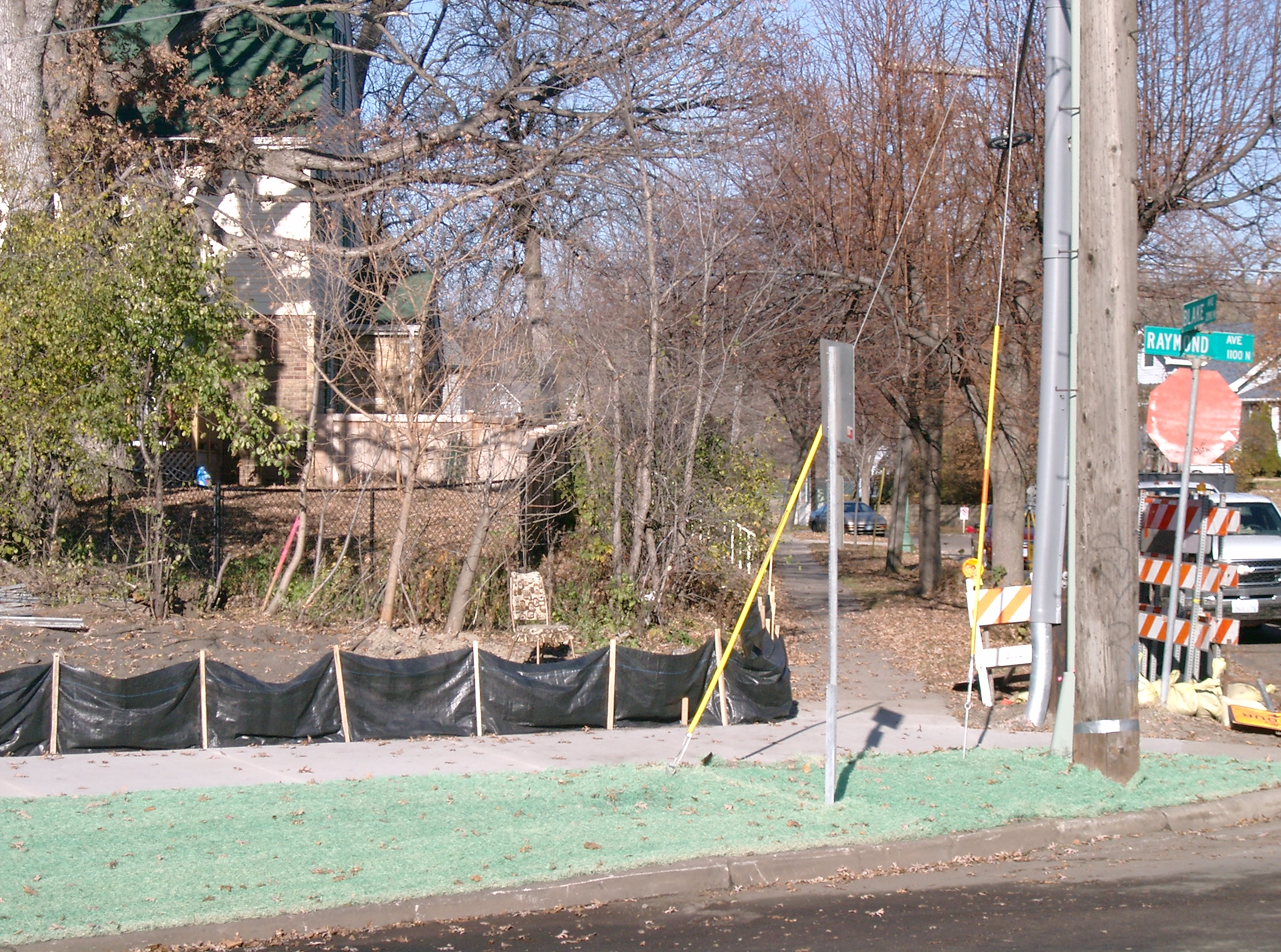
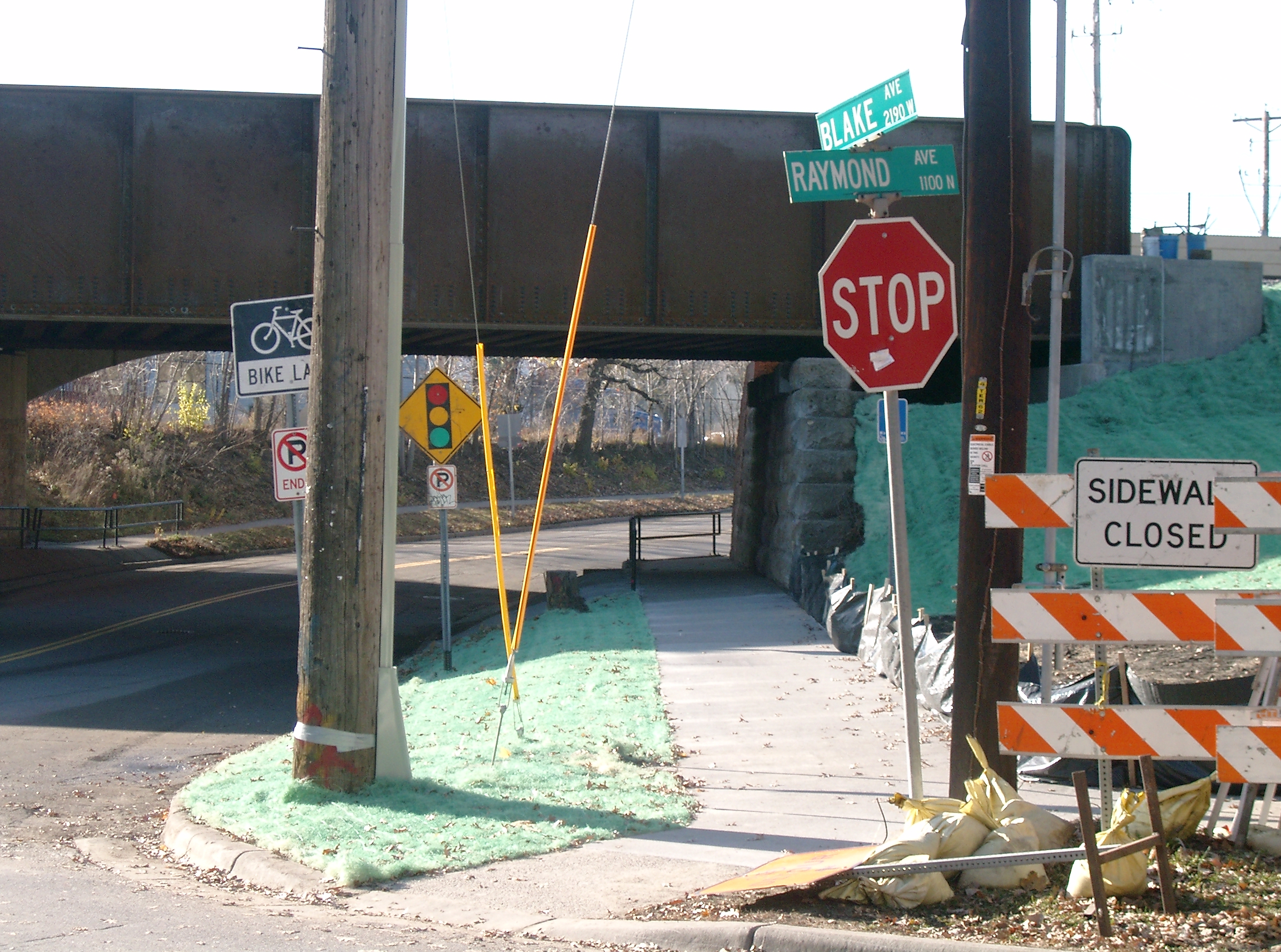
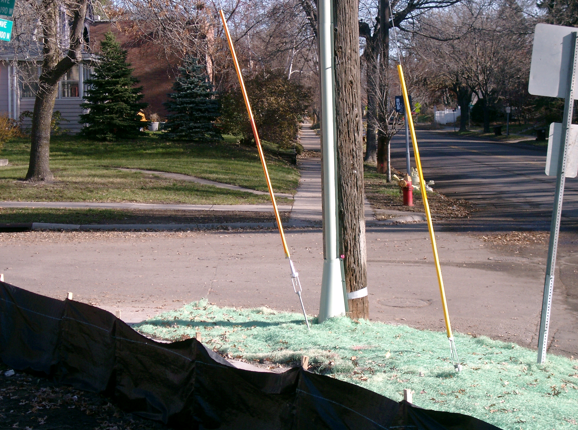
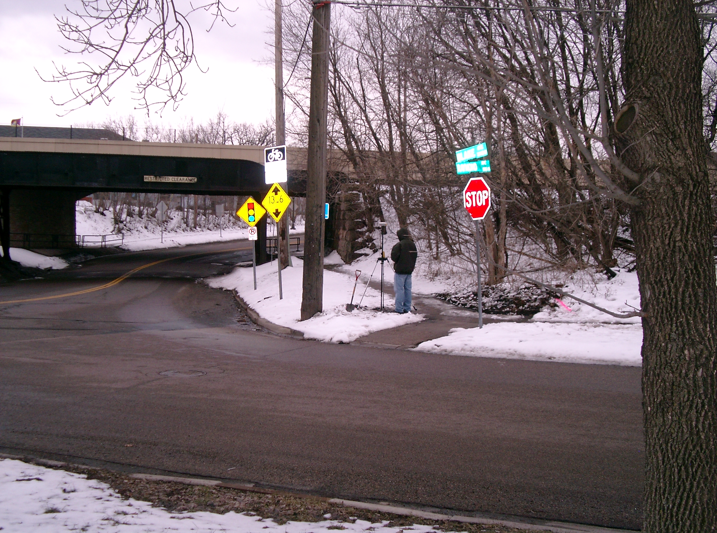
| 3504-2070-17.jpg | November 9, 2009 | Looking Northwest along Blake, across Raymond. |
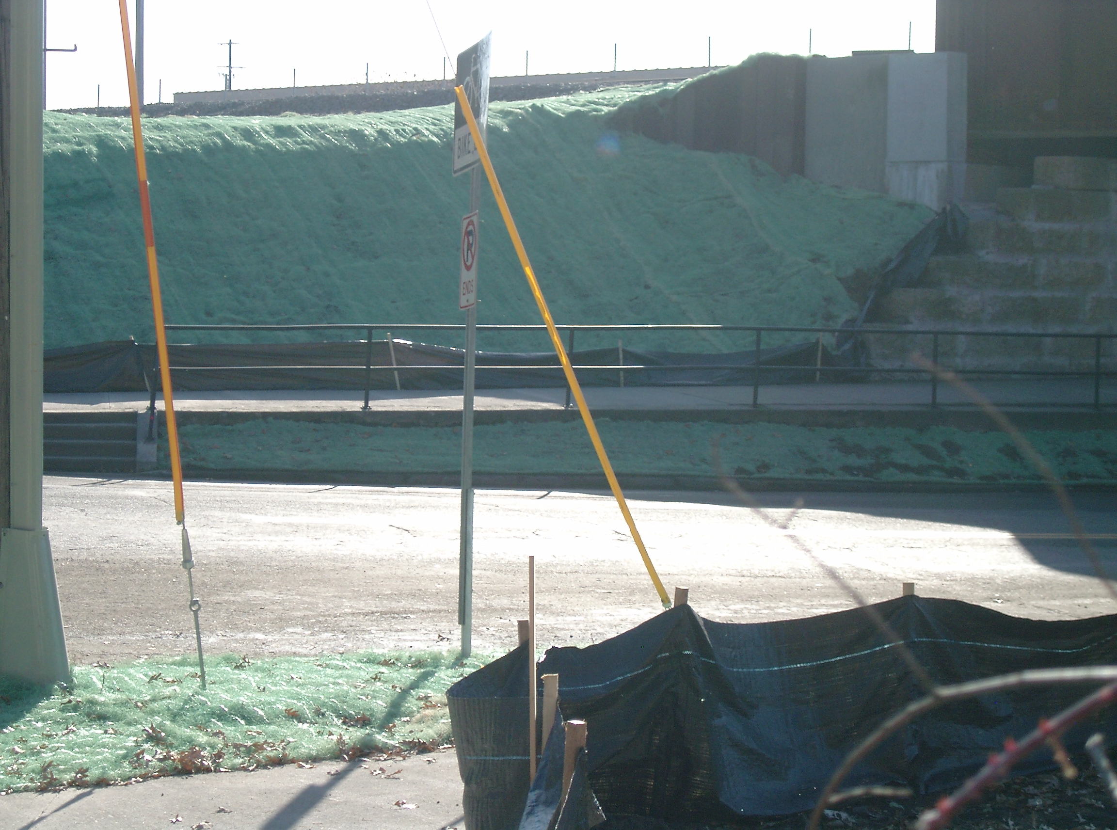
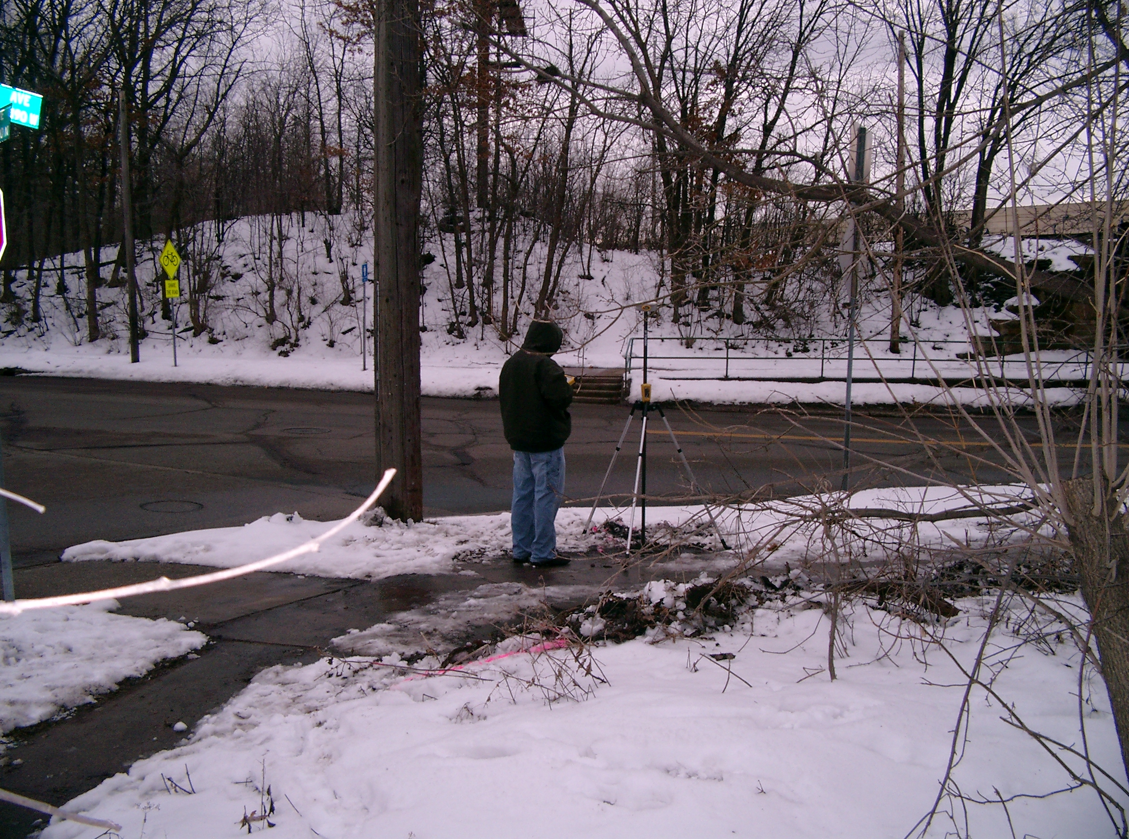
| 3504-2070-16.jpg | November 9, 2009 | Looking Southwesterly along Raymond Ave. |
| 3504-2070-15.jpg | November 9, 2009 | Looking Southeastly across Raymond Ave. |
| 3504-2070-14.jpg | November 9, 2009 | Looking Northeast along Raymond, across Blake. |
| 3504-2070-13.jpg | November 9, 2009 | Close-up of the CIM at grade. |
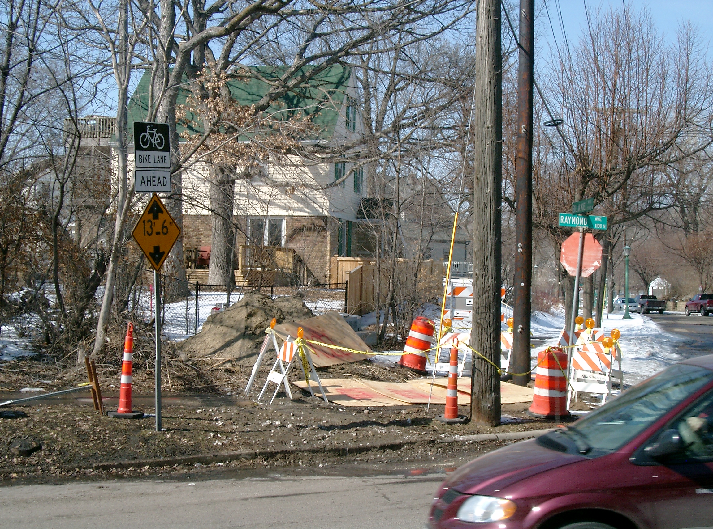
| 3504-2070-9.jpg | March 14, 2009 | Looking Northwest along Blake, across Raymond. |
| 3504-2070-12.jpg | March 14, 2009 | Close-up of the GM at sidewalk grade. |
| 3504-2070-5.jpg | March 25, 2008 | Looking Northwest along Blake, across Raymond. |
| 3504-2070-4.jpg | March 25, 2008 | Looking Southwesterly along Raymond, across Blake, under the U of M transitway. |
| 3504-2070-3.jpg | March 25, 2008 | Looking Southeastly across Raymond, with GM in foregound. |
| 3504-2070-2.jpg | March 25, 2008 | Looking Northeast along Raymond, across Blake, with GM in foregound. |
| 3504-2070-1.jpg | March 25, 2008 | Close-up of GM at existing grade. |