| NAD83 COORDINATES (1986 adj.): |
|---|
| X= 548622.749 Y= 167832.452 Z= 199.16 TOT 10/05/2000 STB |
| X= 548622.676 Y= 167832.523 Z= 893.276 3/23/2012 |
| 3/23/2012 | Position on GM established using RTK-VRS GPS. Elev. 199.18 ft. EDM ties placed using Trimble R6. |
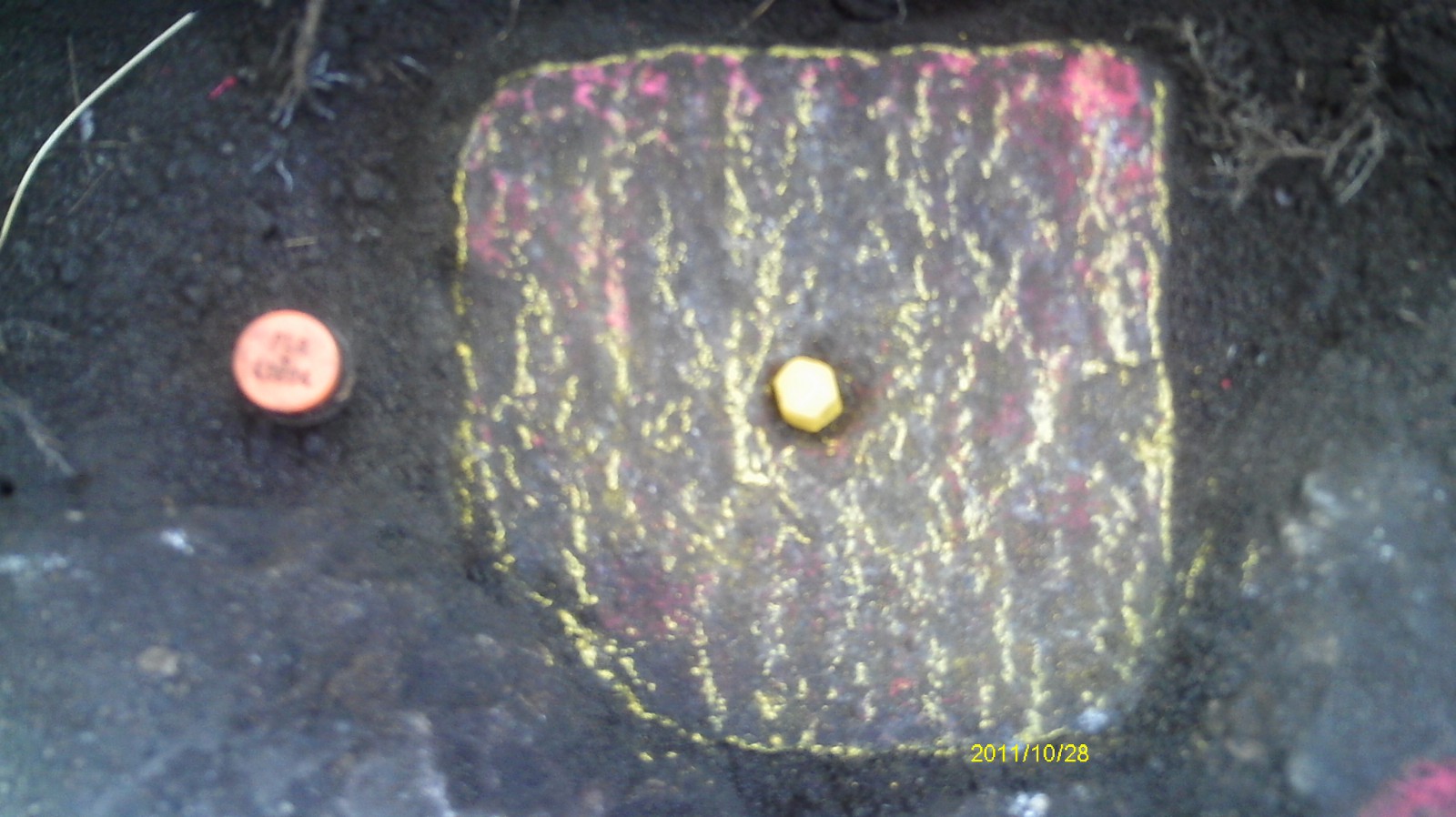
| 10/28/2011 | Found GM 0.1 ft below sidewalk grade. PLS iron #12294 sits adjacent to monument. |
| 6/22/2000 | Located GM at Elev 199.16 ft. See 2000/p8121/monuments/monts.sdr (pt 5010) |
| 5/24/2000 | Found GM 0.1 foot below sidewalk grade. |
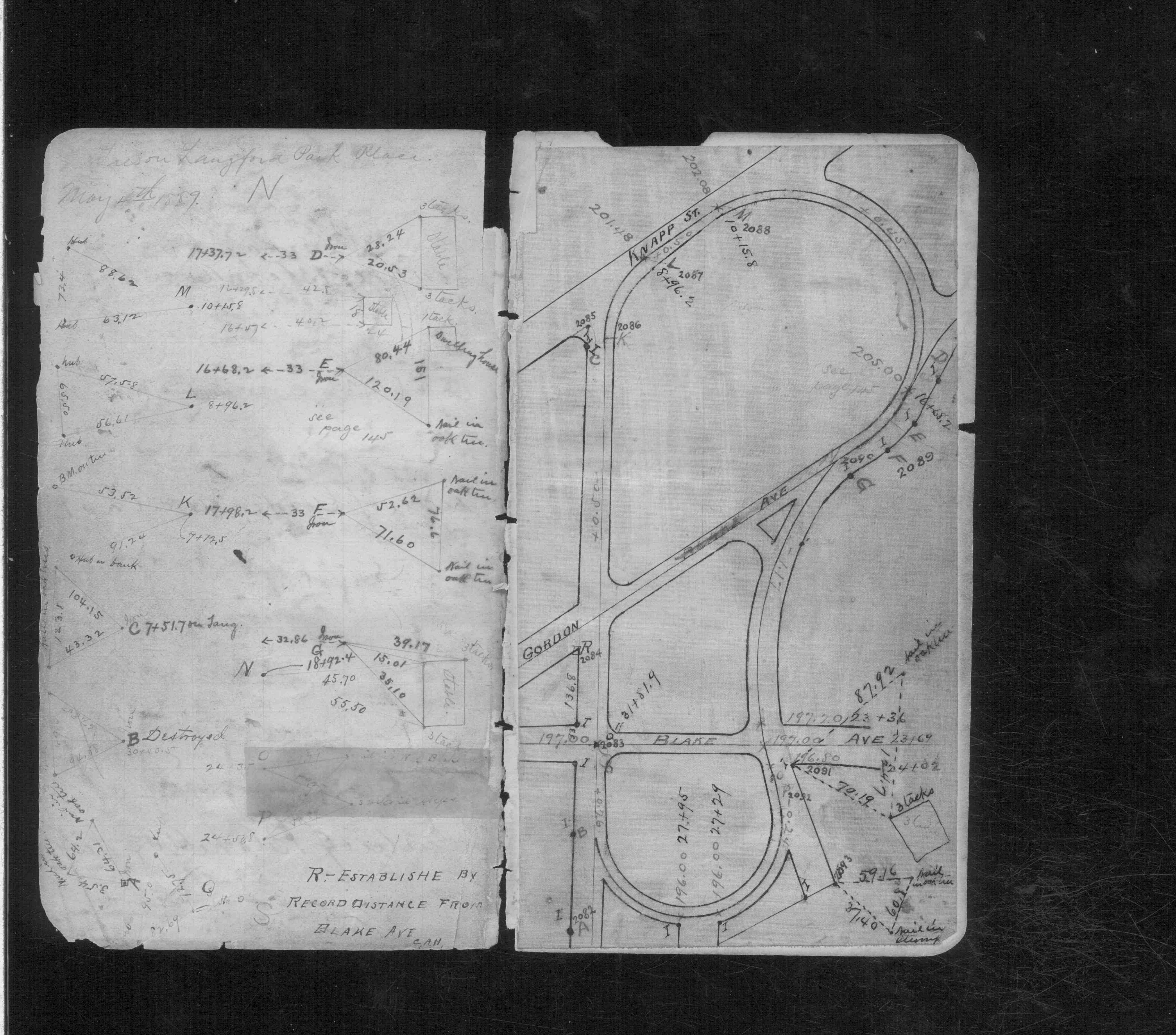
| 2/1/1890 | (Unknown date Feb __, 1890 ) Monument set by Chas A Hunt. See CS 611 p.20 |
Above is NOT an all inclusive history of this point. Please review all the links below.
| PLS NOTES | Field | Cross Section | Sewer | J.B. Irvine | Monument | River Survey |
|---|---|---|---|---|---|---|
| CS 0611p.20 |
| FILE | SURVEYOR | LIC. NO. | DATE SIGNED | DATE TIED |
|---|---|---|---|---|
| 3505-2084-A.pdf | Samuel D. Gibson | 44880 | August 31, 2012 | March 23, 2012 |
| FILE | PHOTO DATE | COMMENTS |
|---|---|---|
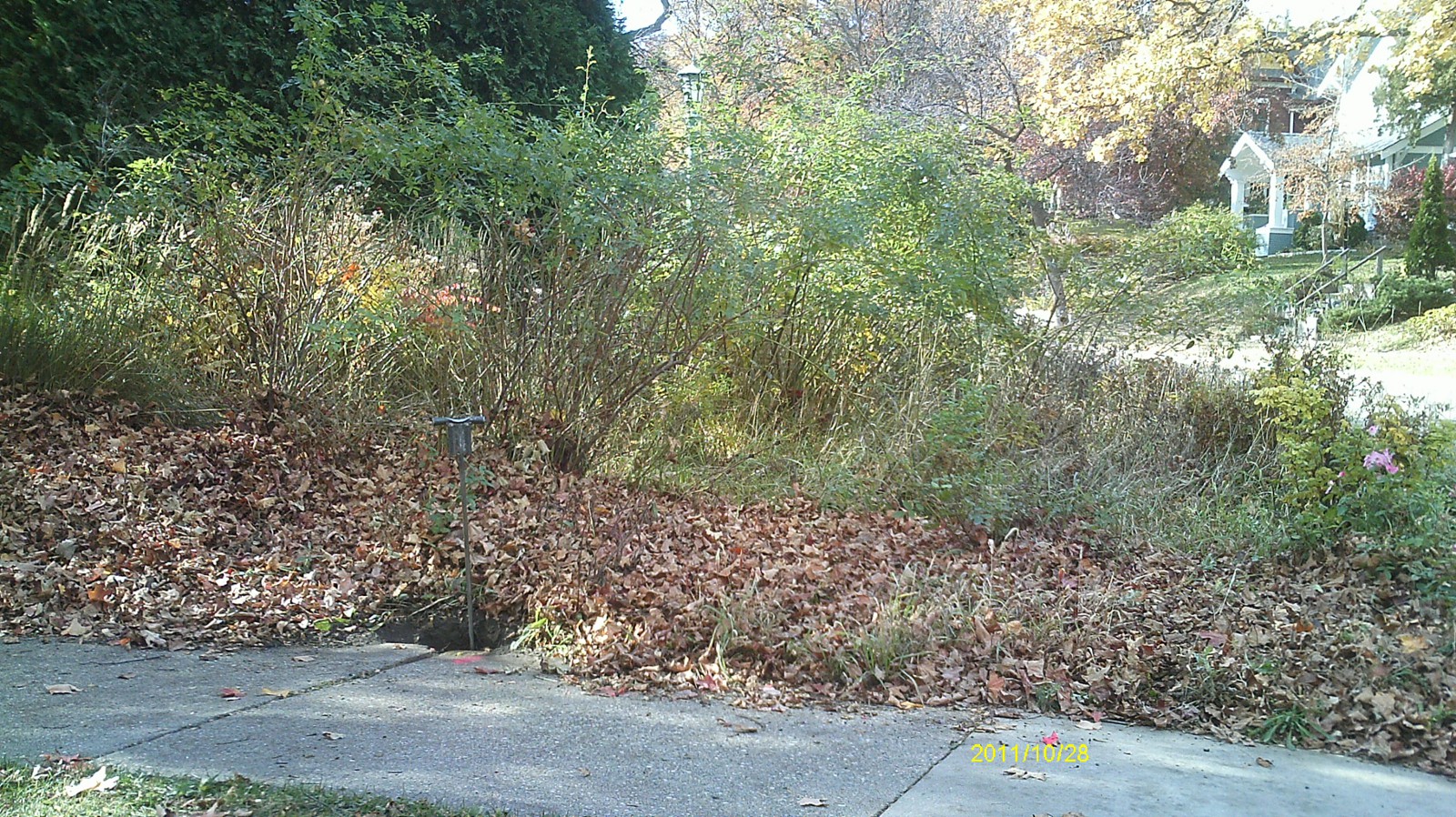
| 3505-2084-5.jpg | October 28, 2011 | Looking west. |
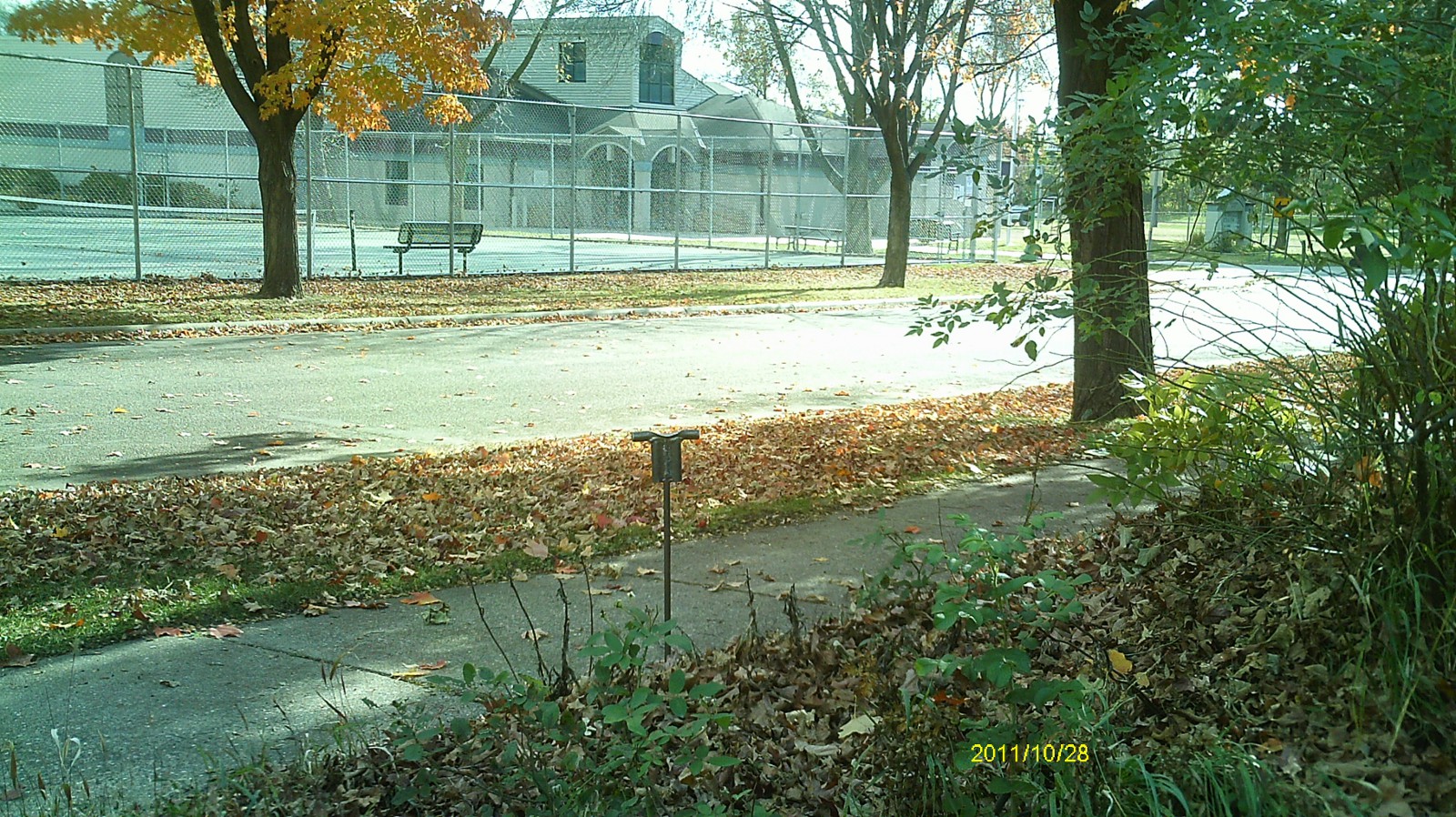
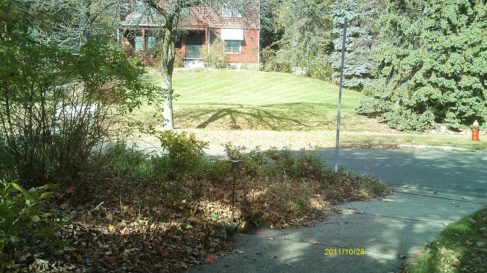
| 3505-2084-4.jpg | October 28, 2011 | Looking south toward Langford Park. |
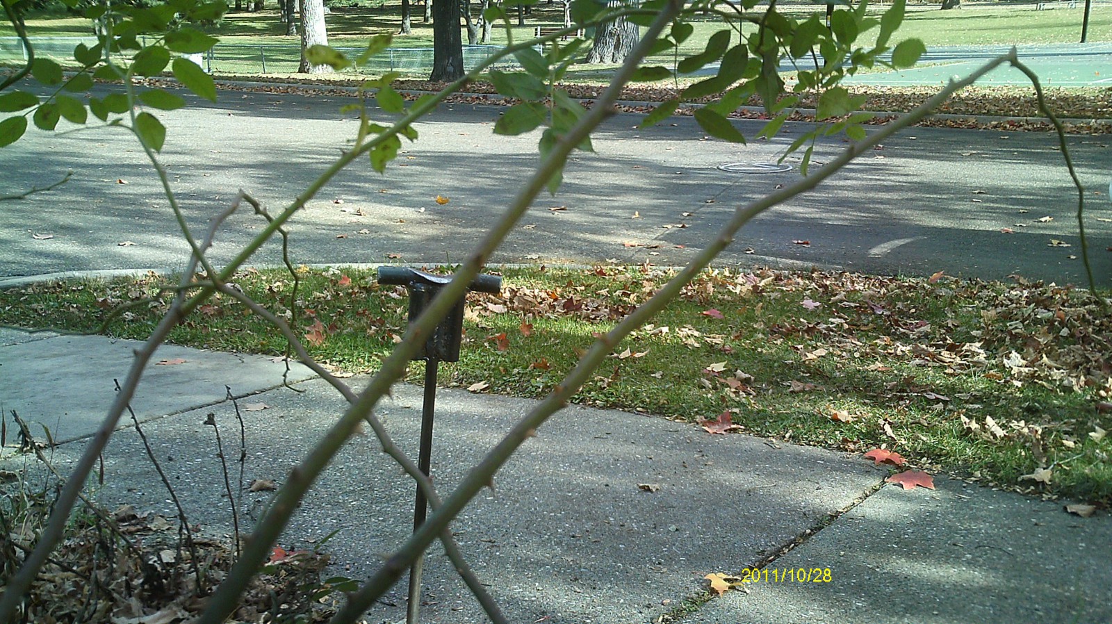
| 3505-2084-3.jpg | October 28, 2011 | Looking east across intersection. |
| 3505-2084-2.jpg | October 28, 2011 | Looking north across Gordon Ave. |
| 3505-2084-1.jpg | October 28, 2011 | Close up of monument. |