| NAD83 COORDINATES (1986 adj.): |
|---|
| X= 549674.86 Y= 167618.37 Z= 896.30 03/26/2008 RTK-VRS |
| X= 549674.849 Y= 167618.399 Z= 202.26 TOT 10/05/2000 STB |
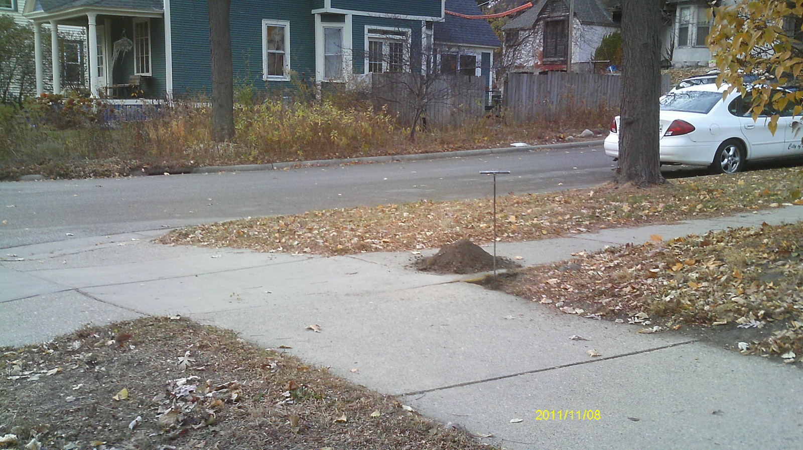
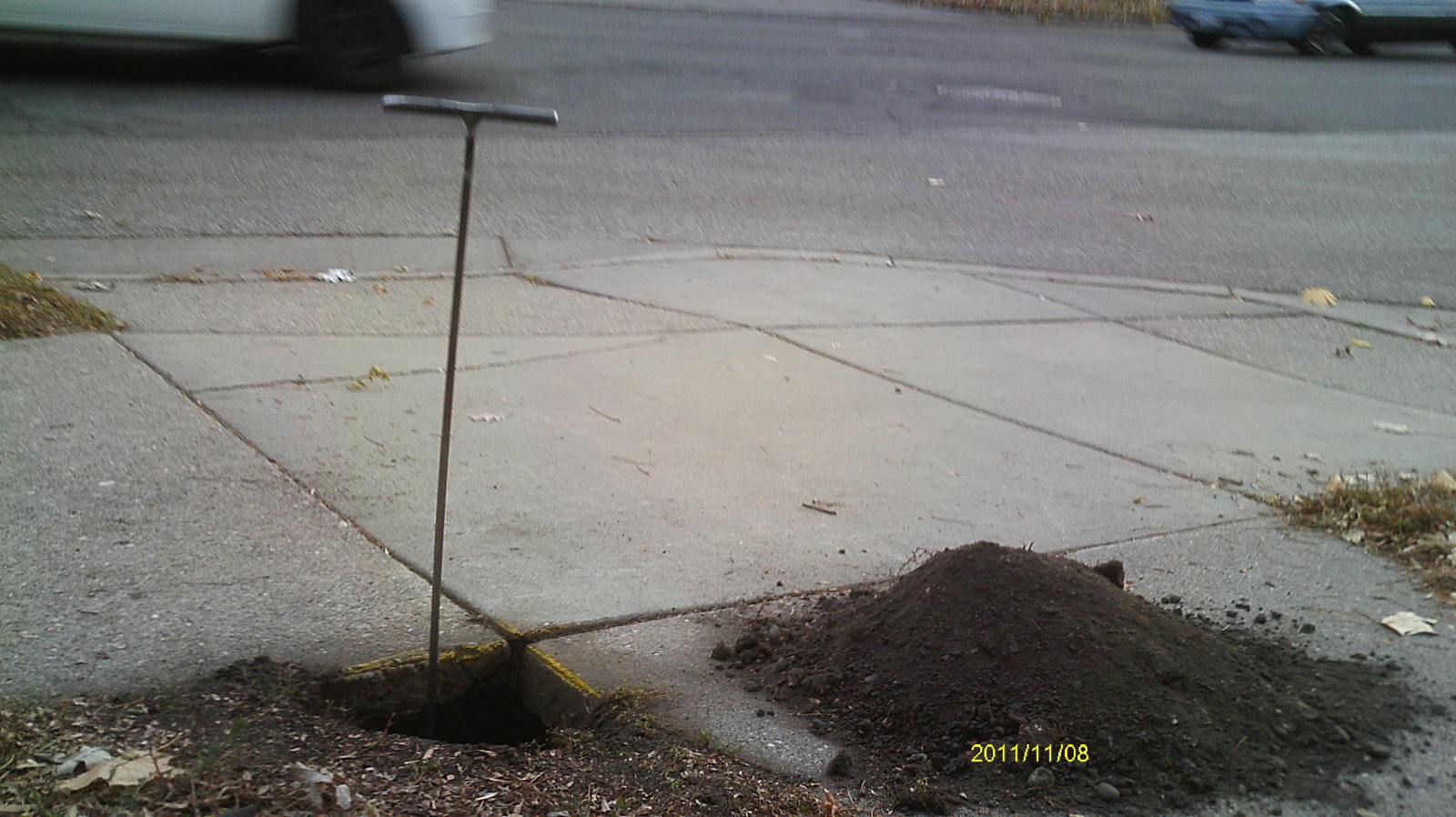
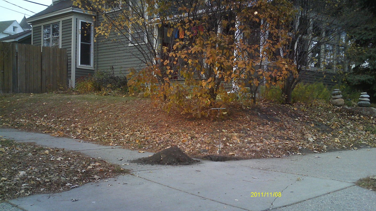
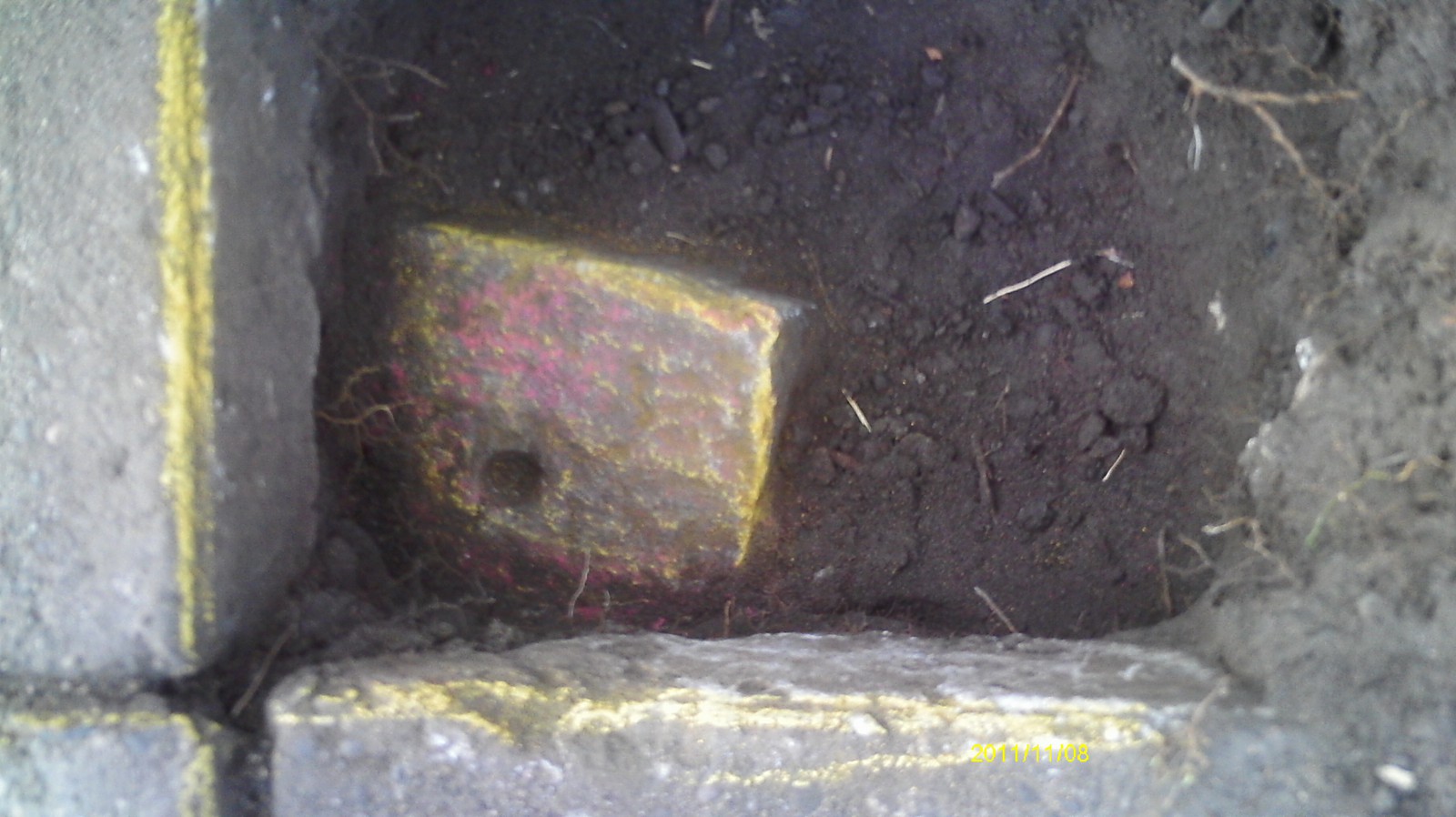
| 11/8/2011 | Fd GM 0.6 ft below sidewalk grade. PK nail placed in center hole of monument. Photos taken. |
| 3/27/2008 | Position on GM established by RTK-VRS GPS Elev 896.3 ft. Placed ties. See CofL 3514-2069-A |
| 3/27/2008 | Fd GM 0.55 ft below sidewalk grade. Photos taken. |
| 8/16/2000 | Located GM at Elev 202.26 ft. See 2000/p8121/monuments/monts.sdr (pt 5180) |
| 5/24/2000 | Fd GM 0.6' feet below sidewalk grade. |
| 2/1/1890 | (Unknown date Feb __, 1890 ) Monument set by Chas A Hunt See CS 843 p.3 |
Above is NOT an all inclusive history of this point. Please review all the links below.
| PLS NOTES | Field | Cross Section | Sewer | J.B. Irvine | Monument | River Survey |
|---|---|---|---|---|---|---|
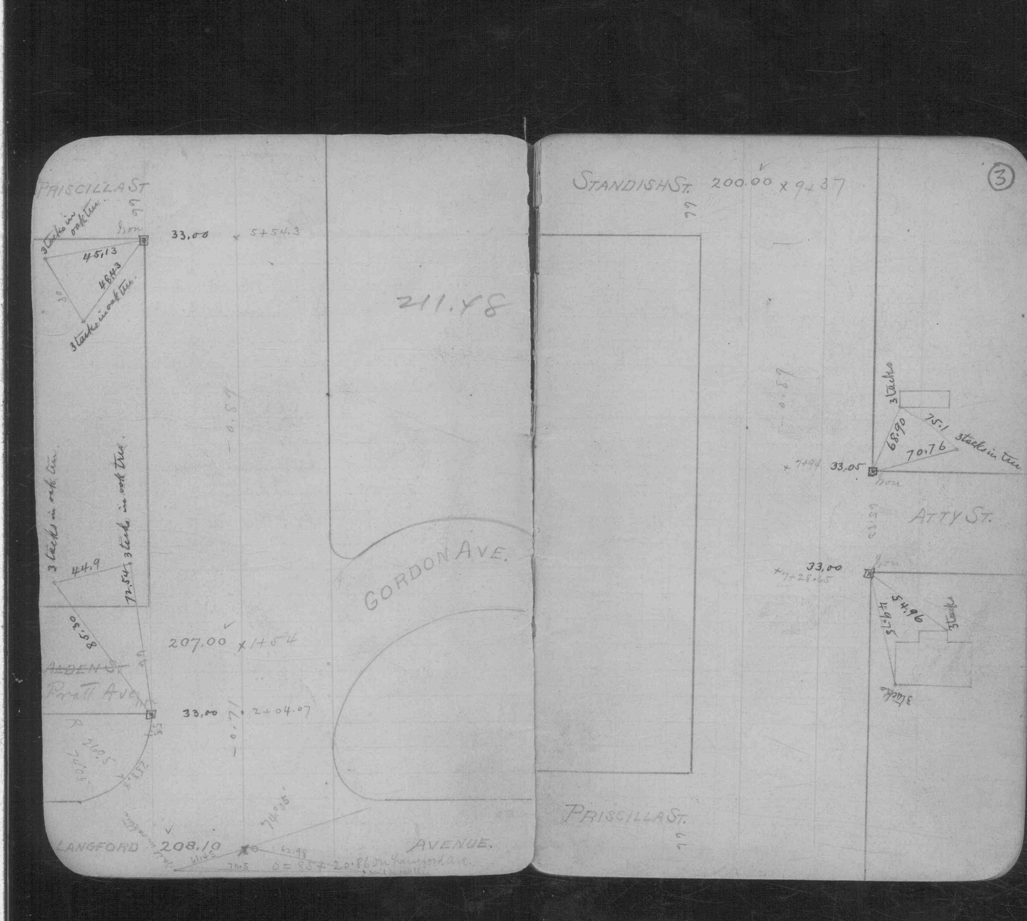
| CS 0843p.03 |
| FILE | SURVEYOR | LIC. NO. | DATE SIGNED | DATE TIED |
|---|---|---|---|---|
| 3514-2069-A.tif | Samuel D. Gibson | 44880 | April 30, 2008 | March 27, 2008 |
| FILE | PHOTO DATE | COMMENTS |
|---|---|---|
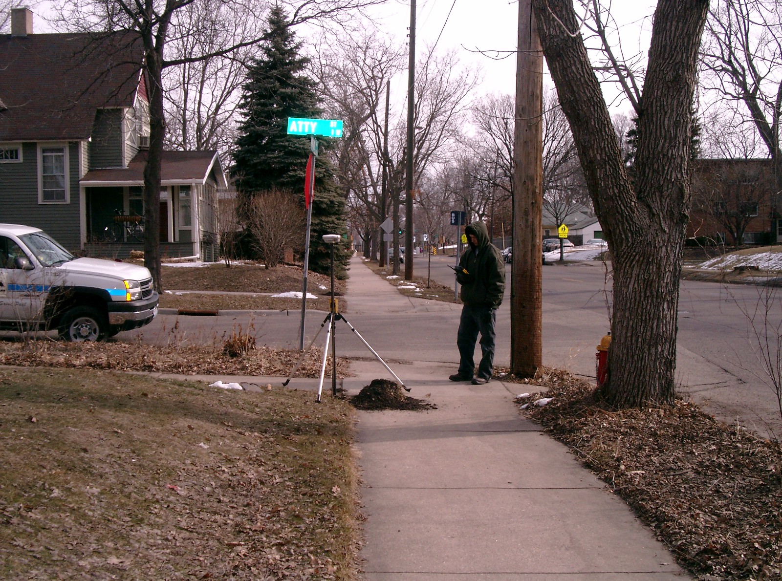
| 3514-2069-8.jpg | November 8, 2011 | Looking west across Atty St. |
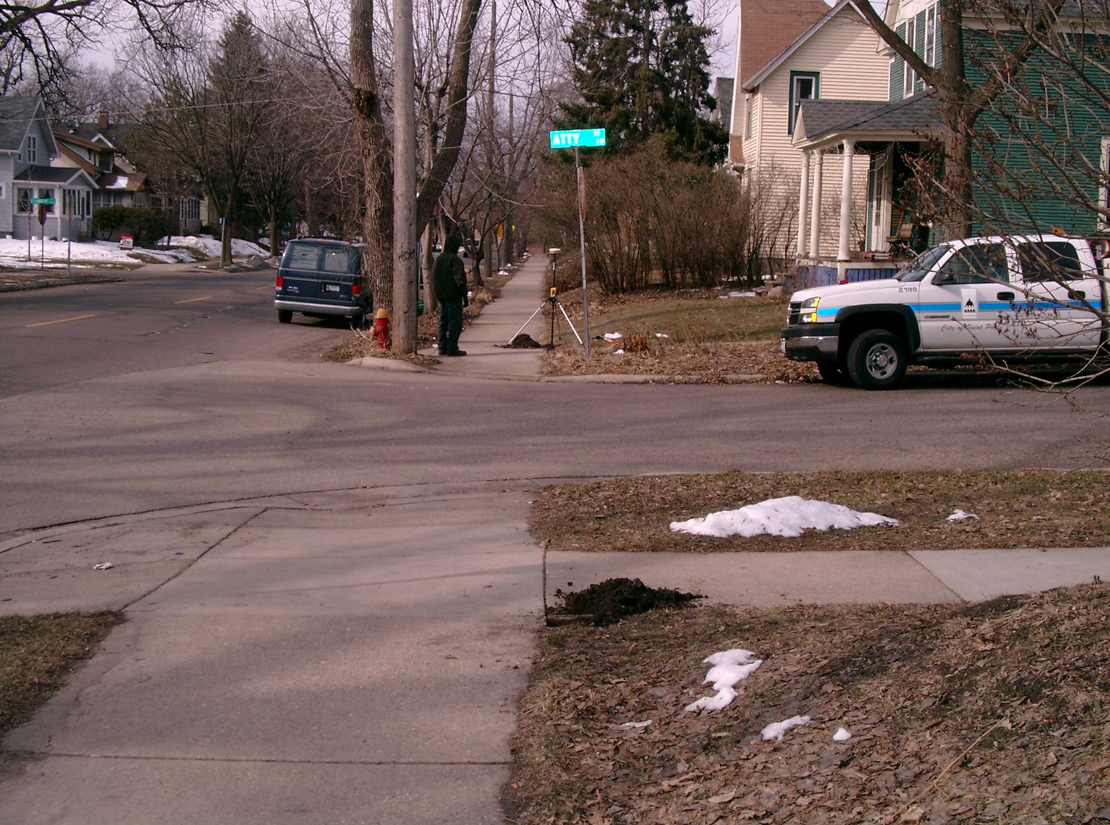
| 3514-2069-7.jpg | November 8, 2011 | Looking south across intersection. |
| 3514-2069-6.jpg | November 8, 2011 | Looking east across Raymond Ave. |
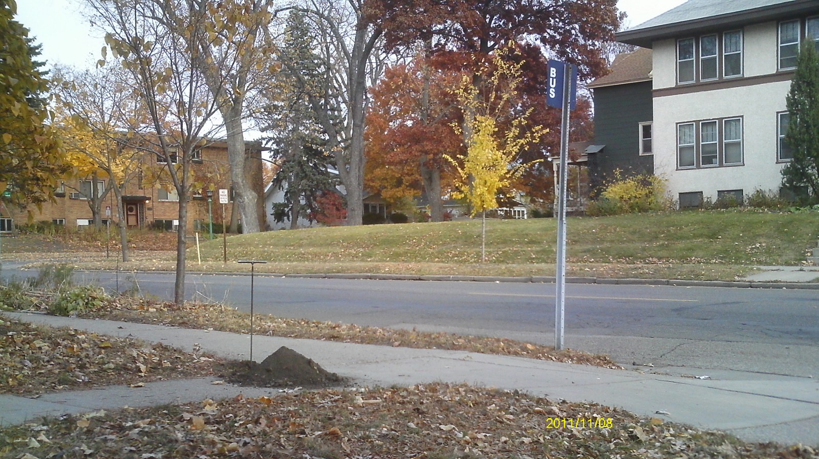
| 3514-2069-5.jpg | November 8, 2011 | Looking north. |
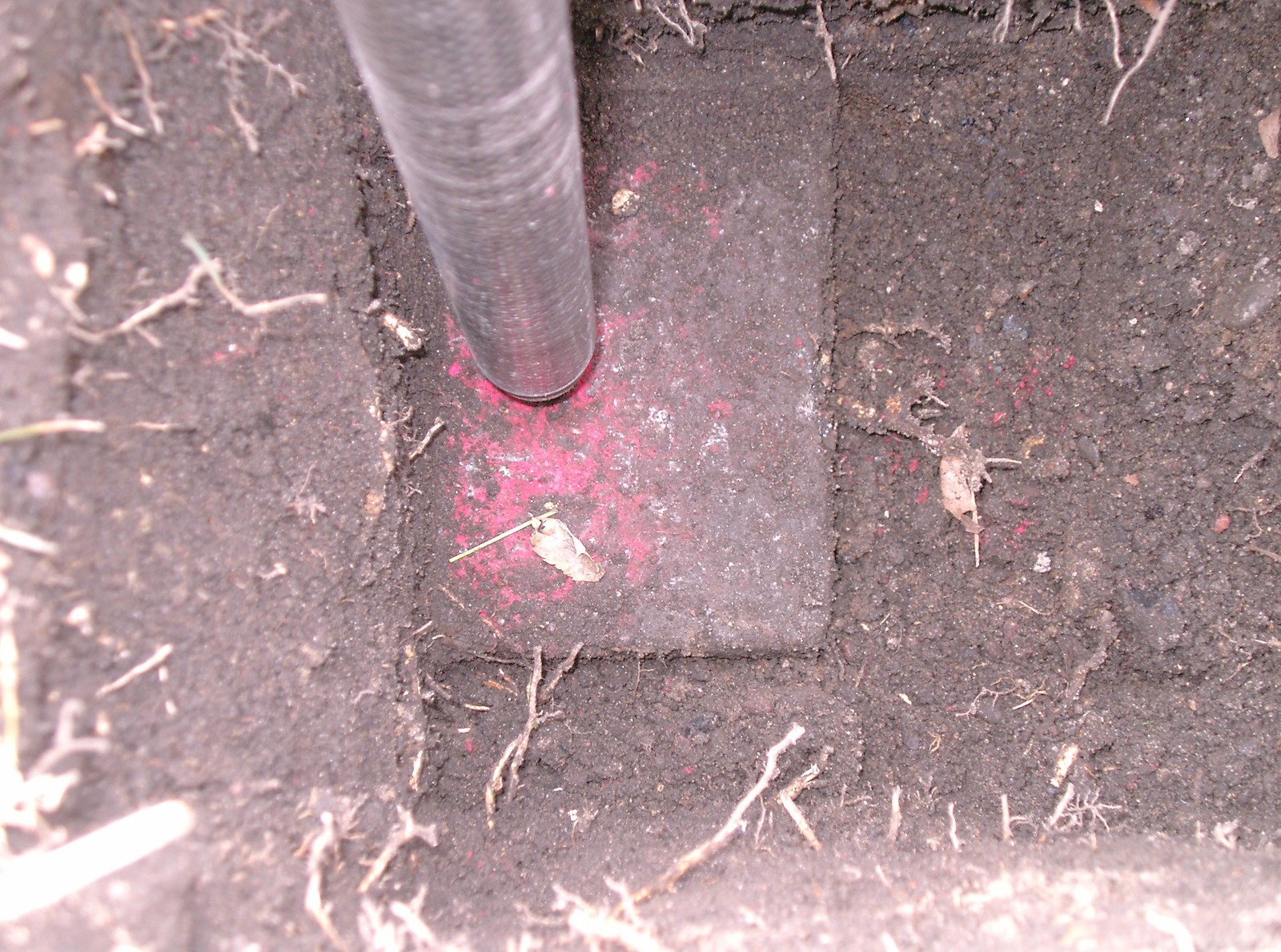
| 3514-2069-4.jpg | November 8, 2011 | Close up of monument. |
| 3514-2069-3.jpg | March 27, 2008 | Looking Southwest along Raymond. (Monument 3514 in the foreground and Monument 3512 in the background) |
| 3514-2069-2.jpg | March 27, 2008 | Looking northeast along Raymond. (Monument 3512 in the foreground and Monument 3514 in the background) |
| 3514-2069-1.jpg | March 27, 2008 | Close up of monument. |