| NAD83 COORDINATES (1986 adj.): |
|---|
| * X= 550764.946 Y= 147022.217 Z= 000.00 LSQ 01/03/2001 FLT |
| X= 550764.889 Y= 147022.152 Z= 864.70 05/16/2006 RTK-VRS |
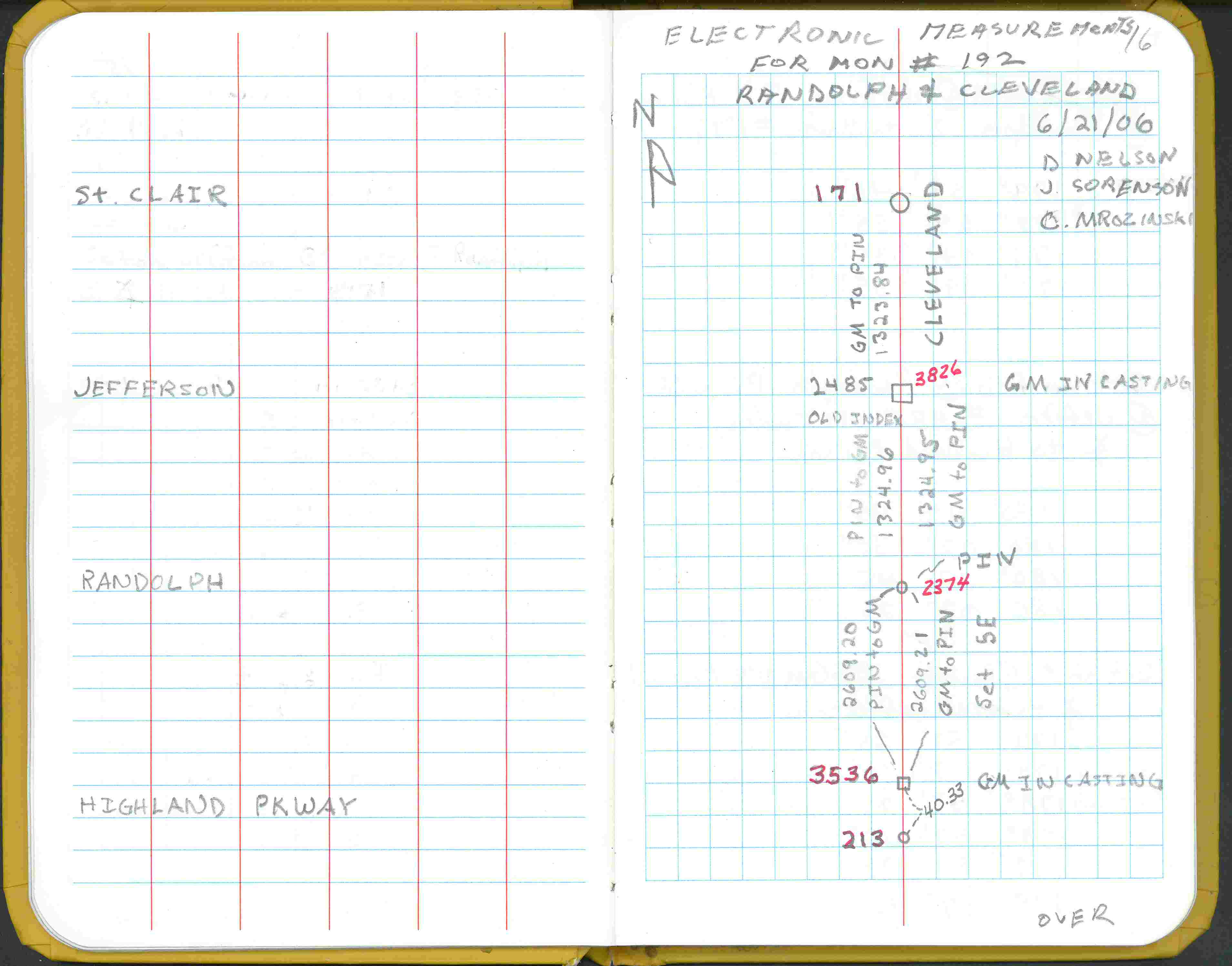
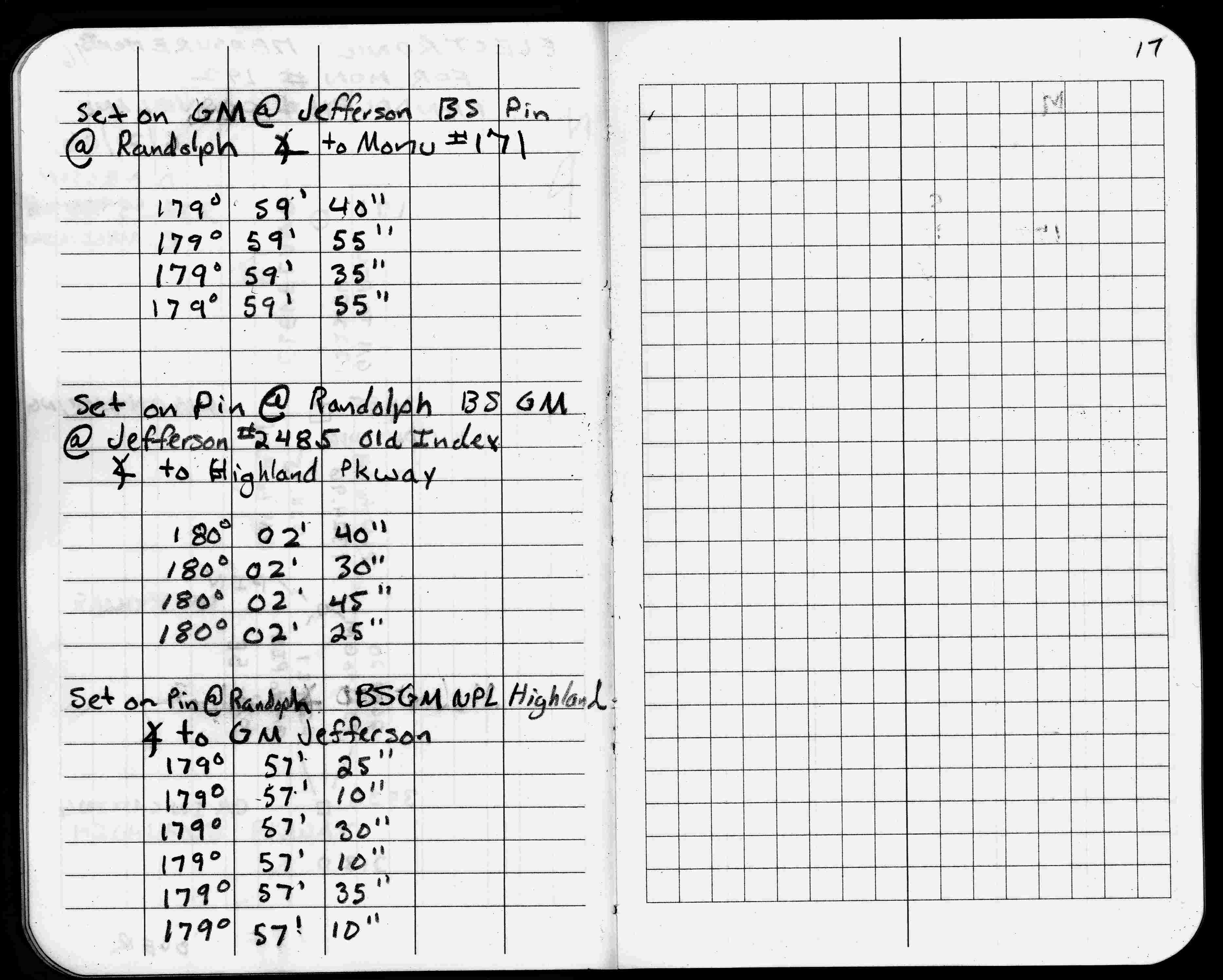
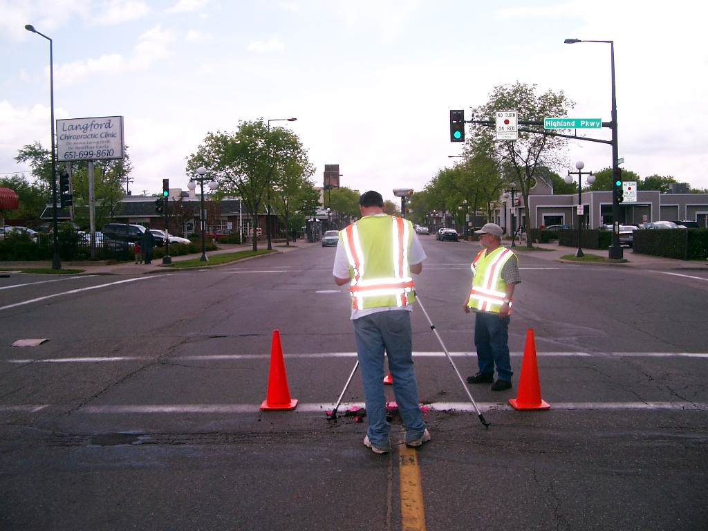
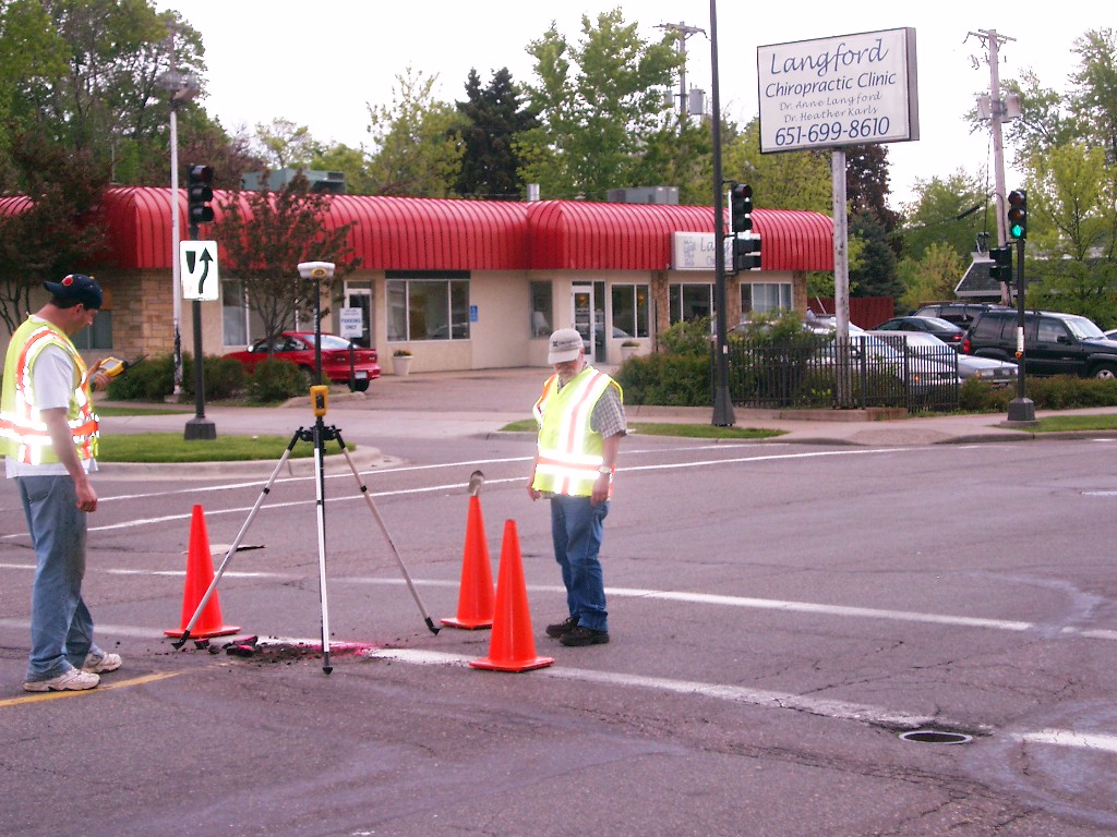
| 6/21/2006 | Electronic measurement on Cleveland between Randolph and Highland Pkwy. See FB 1738 p.16 |
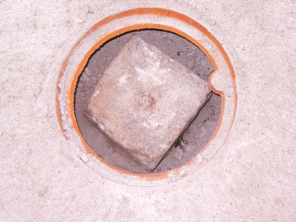
| 5/24/2006 | Placed small MH casting over GM. Photos taken. |
| 5/16/2006 | Position on GM established by RTK-VRS GPS Elev 864.7 ft. |
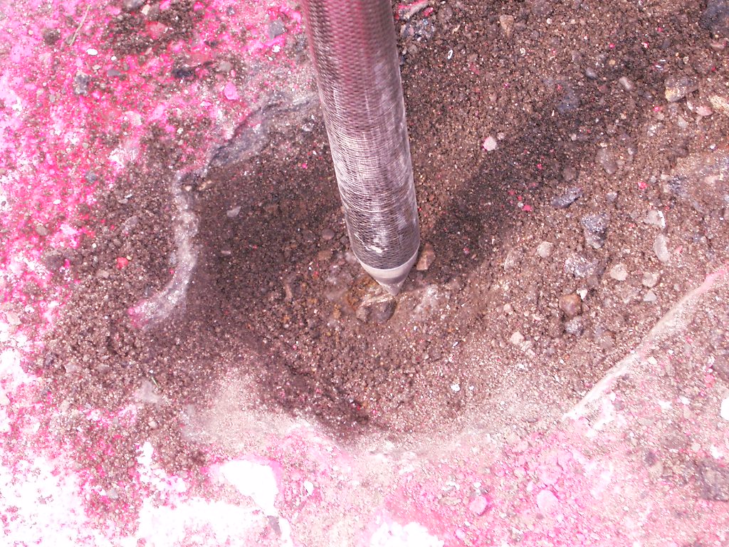
| 5/15/2006 | Fd GM 0.40 ft below grade. Photos taken. |
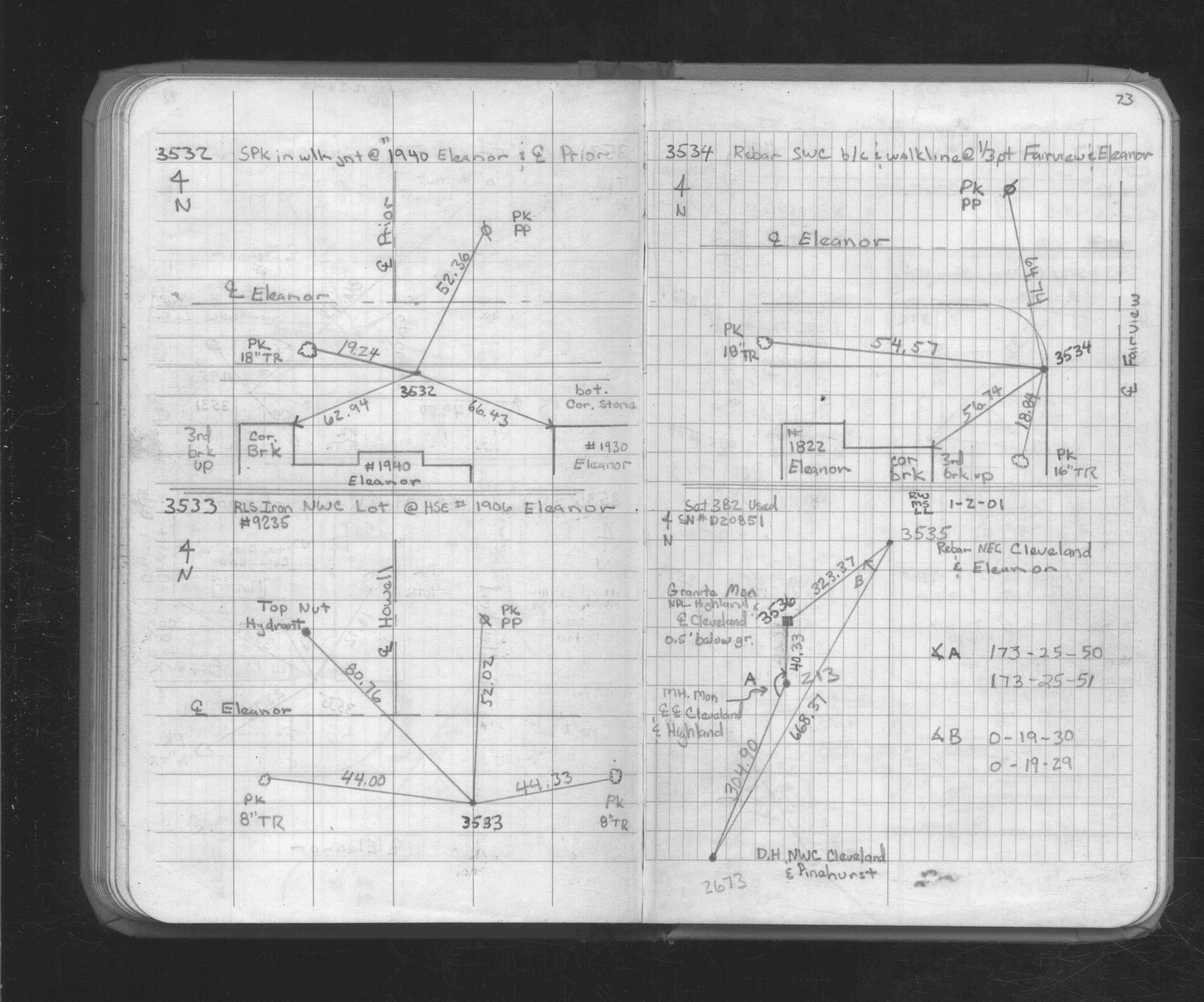
| 1/2/2001 | Traversed through GM. See FB 1734A p.73 |
| 1/2/2001 | Fd GM, placed ties. See CofL 0213-1282-B |
Above is NOT an all inclusive history of this point. Please review all the links below.
| PLS NOTES | Field | Cross Section | Sewer | J.B. Irvine | Monument | River Survey |
|---|---|---|---|---|---|---|
| FB 1734Ap.73 | ||||||
| FB 1738p.16 | ||||||
| FB 1738p. 16 ,17 |
| FILE | SURVEYOR | LIC. NO. | DATE SIGNED | DATE TIED |
|---|---|---|---|---|
| 3536-__is-A.tif | Jeffrey L. Grosso | 13144 | January 3, 2001 | January 2, 2001 |
| FILE | PHOTO DATE | COMMENTS |
|---|---|---|
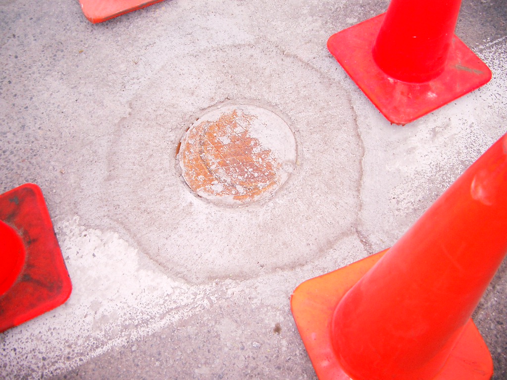
| 3536-__is-13.jpg | May 24, 2006 | Close-up of GM inside small MH casting. |
| 3536-__is-12.jpg | May 24, 2006 | Close-up of small MH casting. |
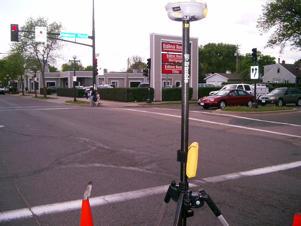
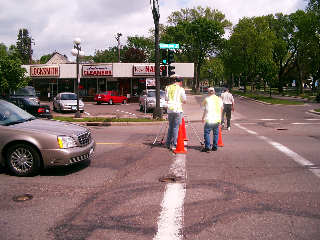
| 3536-__is-9.jpg | May 15, 2006 | Looking Southwest at Highland Pkwy. and Cleveland Ave. |
| 3536-__is-7.jpg | May 15, 2006 | Looking South along the center of Cleveland Ave. |
| 3536-__is-6.jpg | May 15, 2006 | Looking Southeast at Highland Pkwy. and Cleveland Ave. |
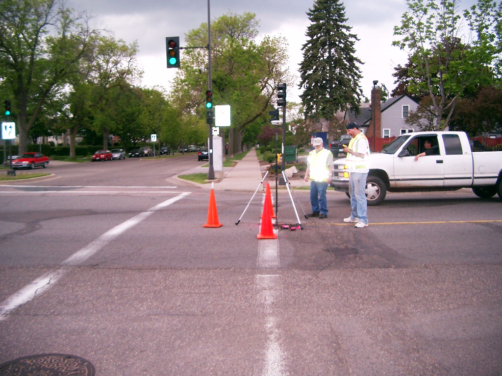
| 3536-__is-4.jpg | May 15, 2006 | Looking East along the North side of Highland Pkwy. |
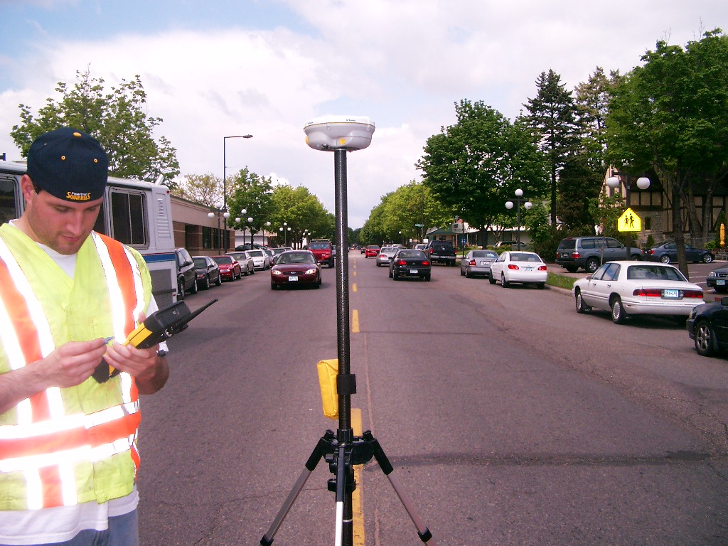
| 3536-__is-3.jpg | May 15, 2006 | Looking North along the center of Cleveland Ave. |
| 3536-__is-10.jpg | May 15, 2006 | Looking West along the North side of Highland Pkwy. |
| 3536-__is-1.jpg | May 15, 2006 | Close-up of GM. |