| NAD83 COORDINATES (1986 adj.): |
|---|
| X= 584849.648 Y= 157658.912 Z= 000.00 TOT 03/16/2001 STB |
| 5/1/2003 | Placed magnet in GM. Photos taken. |
| 3/12/2001 | Fd GM at grade of sidewalk and placed ties. See CofL 0142-0113A-A |
| 3/5/2001 | Located GM by traverse (single stub). See FB 1734A p.78 |
| 2/20/1996 | Elev 205.52 ft on GM. See 97adj.pts, 1996/johnson-pkwy.org/bmjohnson.sdr (loop 049) Digital-Adj |
| 1/1/1887 | (Unknown date ___ __, 1887 ) Monument showing St line as graded in 1887 Earl St set by Chas Hunt according to Armstrong's survey |
Above is NOT an all inclusive history of this point. Please review all the links below.
| PLS NOTES | Field | Cross Section | Sewer | J.B. Irvine | Monument | River Survey |
|---|---|---|---|---|---|---|
| FB 1734Ap.78 |
| FILE | PHOTO DATE | COMMENTS |
|---|---|---|
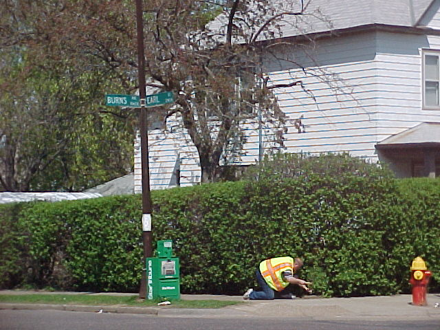
| 3557-0113B-6.jpg | May 1, 2003 | Street sign on NE corner Burns & Earl. |
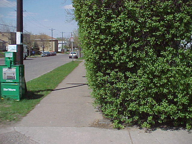
| 3557-0113B-5.jpg | May 1, 2003 | Looking west. |
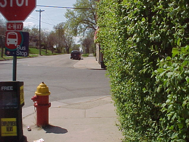
| 3557-0113B-4.jpg | May 1, 2003 | Looking south. |
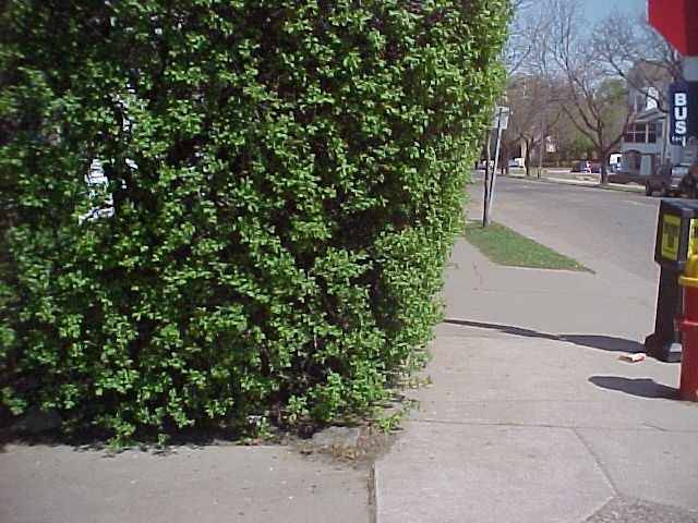
| 3557-0113B-3.jpg | May 1, 2003 | Looking north. |
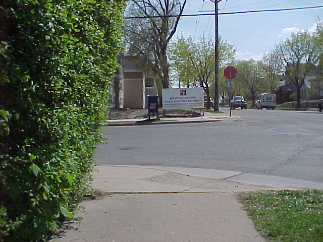
| 3557-0113B-2.jpg | May 1, 2003 | Looking east. |
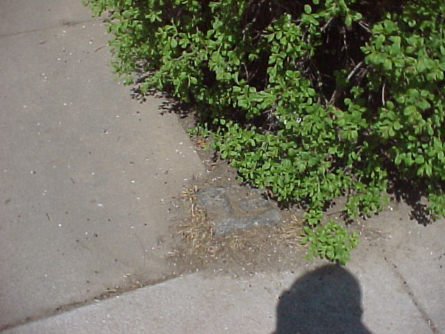
| 3557-0113B-1.jpg | May 1, 2003 | Close up of GM. |