| NAD83 COORDINATES (1986 adj.): |
|---|
| X= 560483.848 Y= 147929.880 Z= 000.00 04/16/1991 STB |
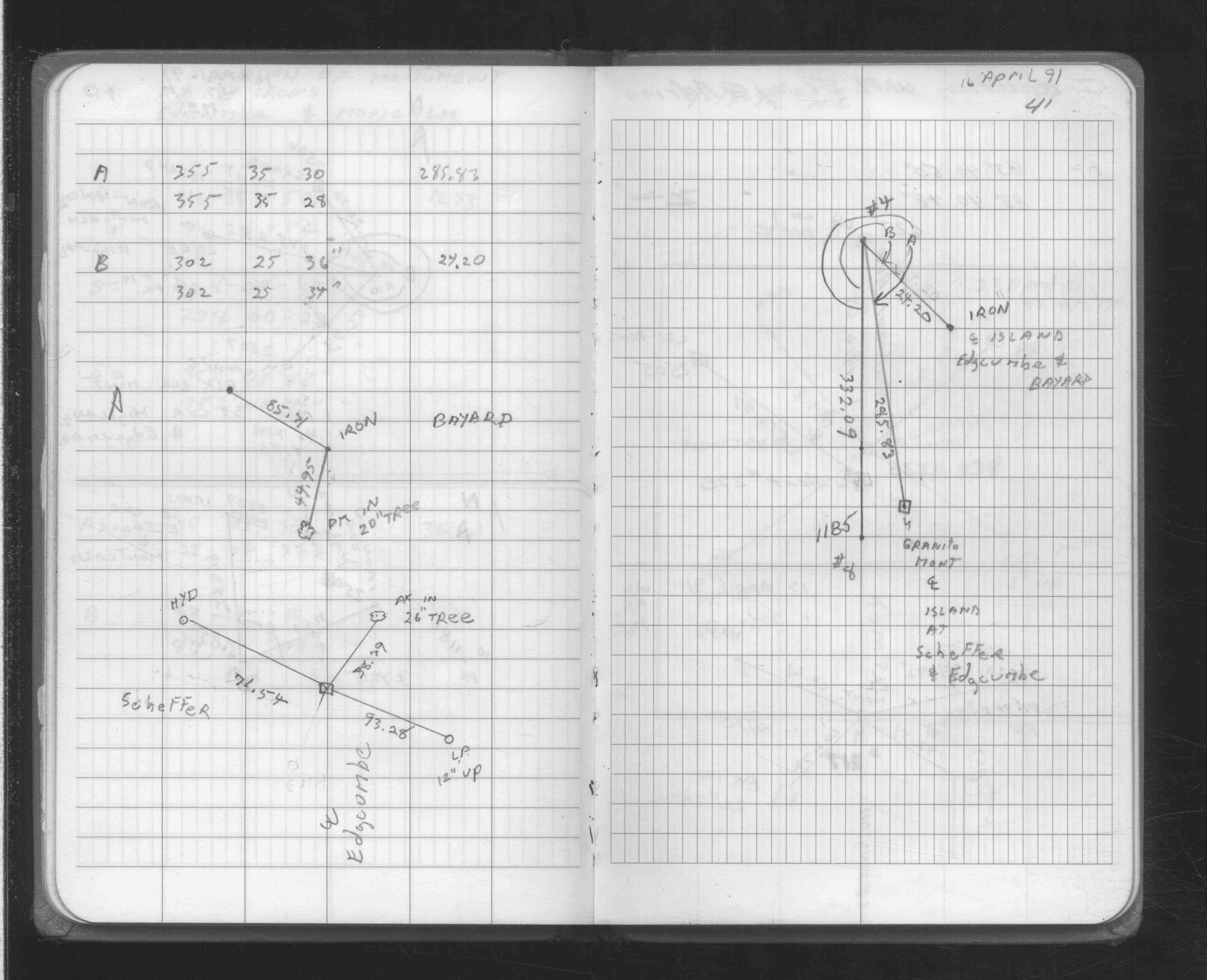
| 4/16/1991 | Located iron by traverse (single stub). See FB 1708A p.41 |
Above is NOT an all inclusive history of this point. Please review all the links below.
| PLS NOTES | Field | Cross Section | Sewer | J.B. Irvine | Monument | River Survey |
|---|---|---|---|---|---|---|
| FB 1708Ap.41 |