| NAD83 COORDINATES (1986 adj.): |
|---|
| X= 576864.503 Y= 167081.515 Z= 000.00 07/19/2002 STB |
| X= 576864.35 Y= 167081.49 Z= 000.00 09/22/2003 RTK-VRS |
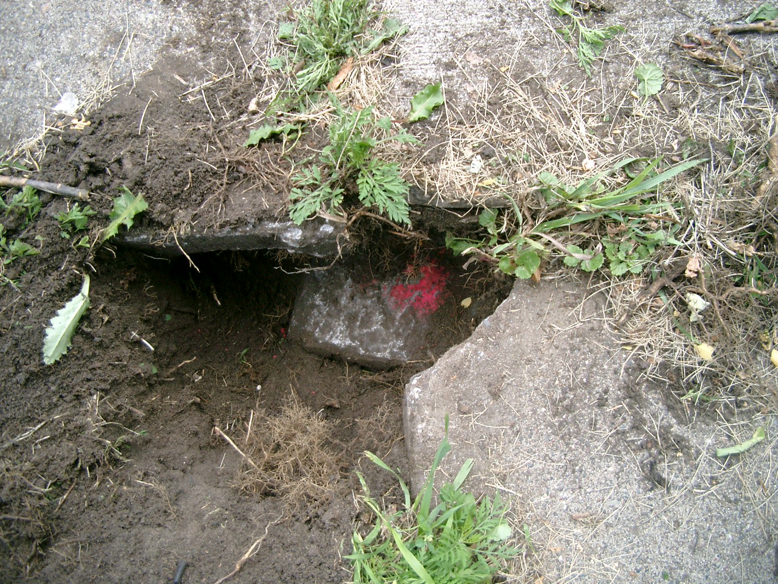
| 7/13/2014 | Found GM 0.5 ft below sidewalk grade. Photo taken. |
| 8/21/2012 | Found GM 0.5 ft below sidewalk grade. Center hole under walk. |
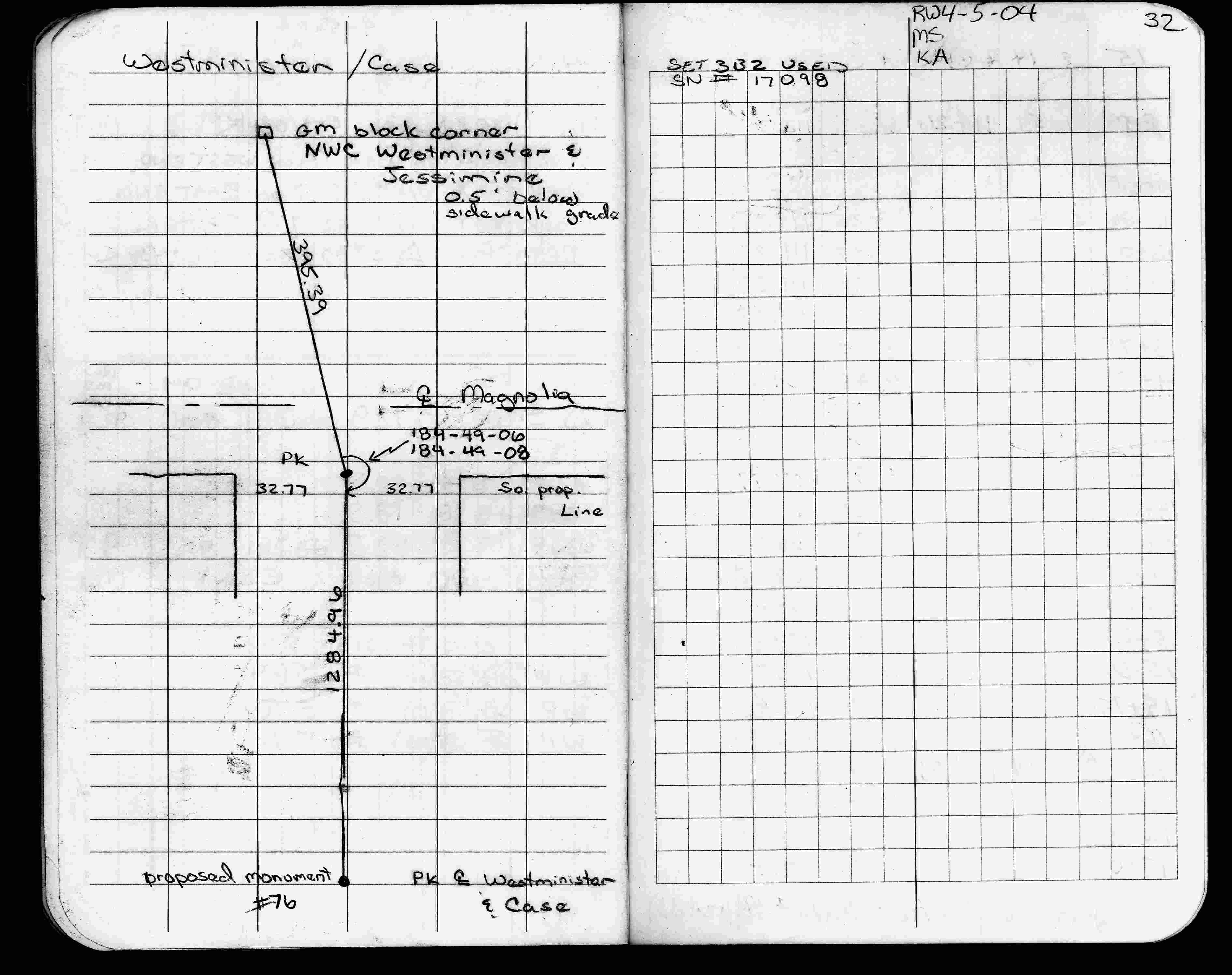
| 4/5/2004 | Fd GM 0.50 ft below sidewalk. See FB 1736A p.32 |
| 9/22/2003 | Fd GM 0.75 ft below sidewalk. Fd nail in hole of GM. Coordinate positioned established by RTK-VRS GPS. |
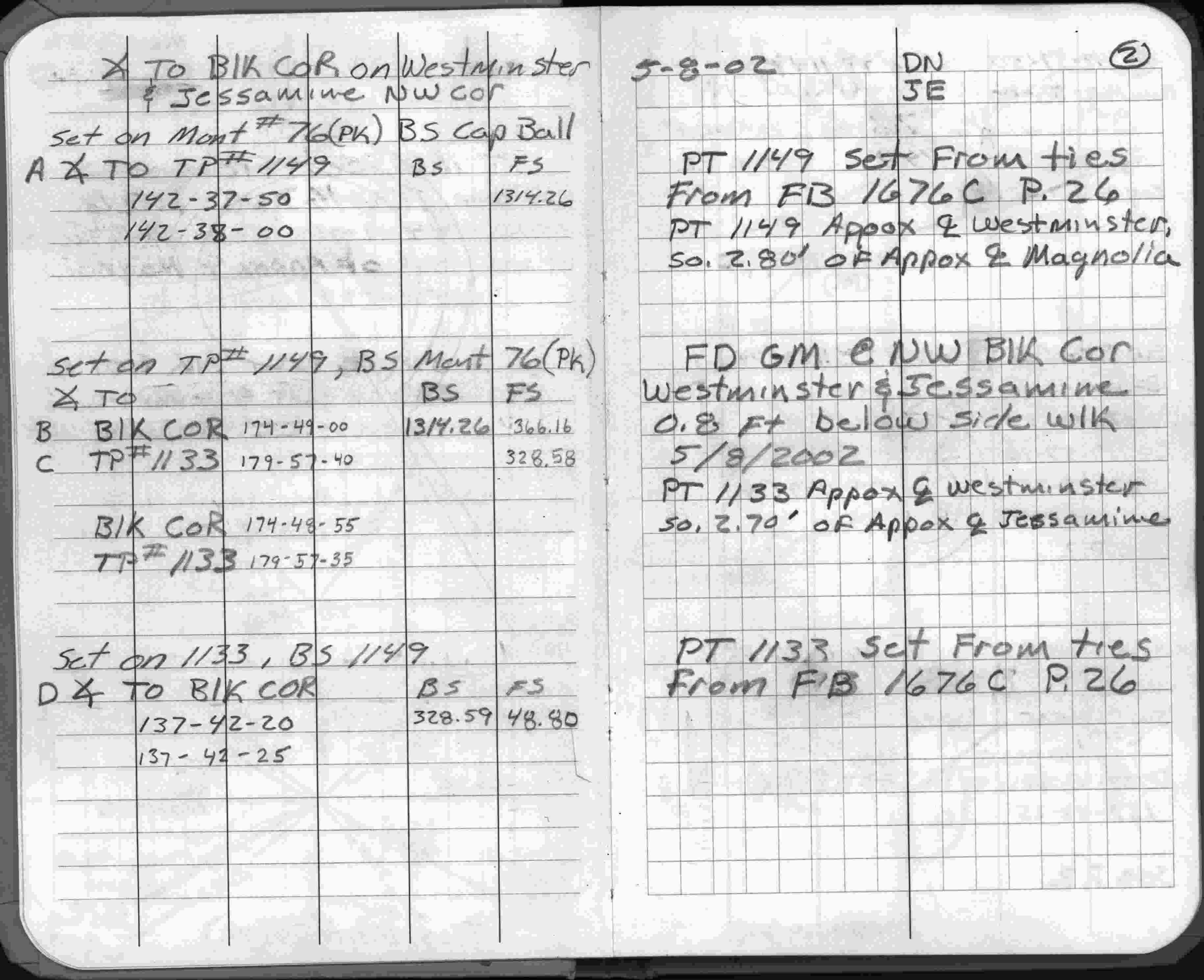
| 5/8/2002 | Fd GM 0.8 ft below sidewalk and placed ties. See FB 1738 p.2 |
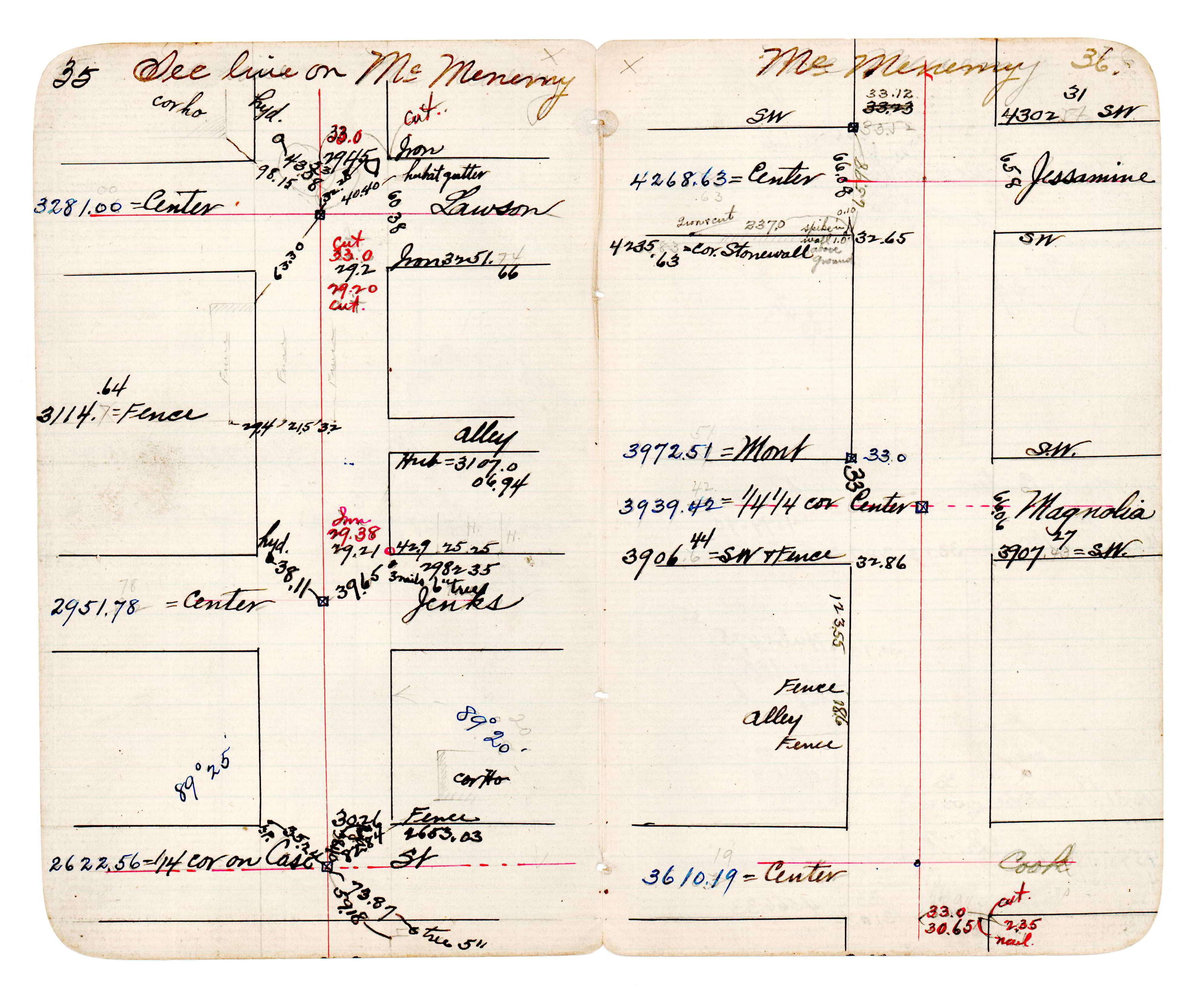
| 1/1/1890 | (Unknown date abt __, 189? ) Located monument by station and offset during the Westminster (McMenemy) survey. See JBI 23 p.35-36 |
| 1/1/1887 | (Unknown date ___ __, 1887 ) Monument set by Chas Hunt showing street line as graded in place of original iron. |
Above is NOT an all inclusive history of this point. Please review all the links below.
| PLS NOTES | Field | Cross Section | Sewer | J.B. Irvine | Monument | River Survey |
|---|---|---|---|---|---|---|
| FB 1736Ap.32 | JBI 23 p.35-36 | |||||
| FB 1738p.02 |
| FILE | PHOTO DATE | COMMENTS |
|---|---|---|
| 3598-1174-1.jpg | July 13, 2014 | Close up of monument. |