| NAD83 COORDINATES (1986 adj.): |
|---|
| X= 597504.970 Y= 152313.344 Z= 227.73 TOT 12/17/2002 STB |
| 1/31/2013 | Found CIM at street grade. Photos taken. |
| 1/30/2003 | Placed ties on CIM. See CofL 3660-xxxx-A |
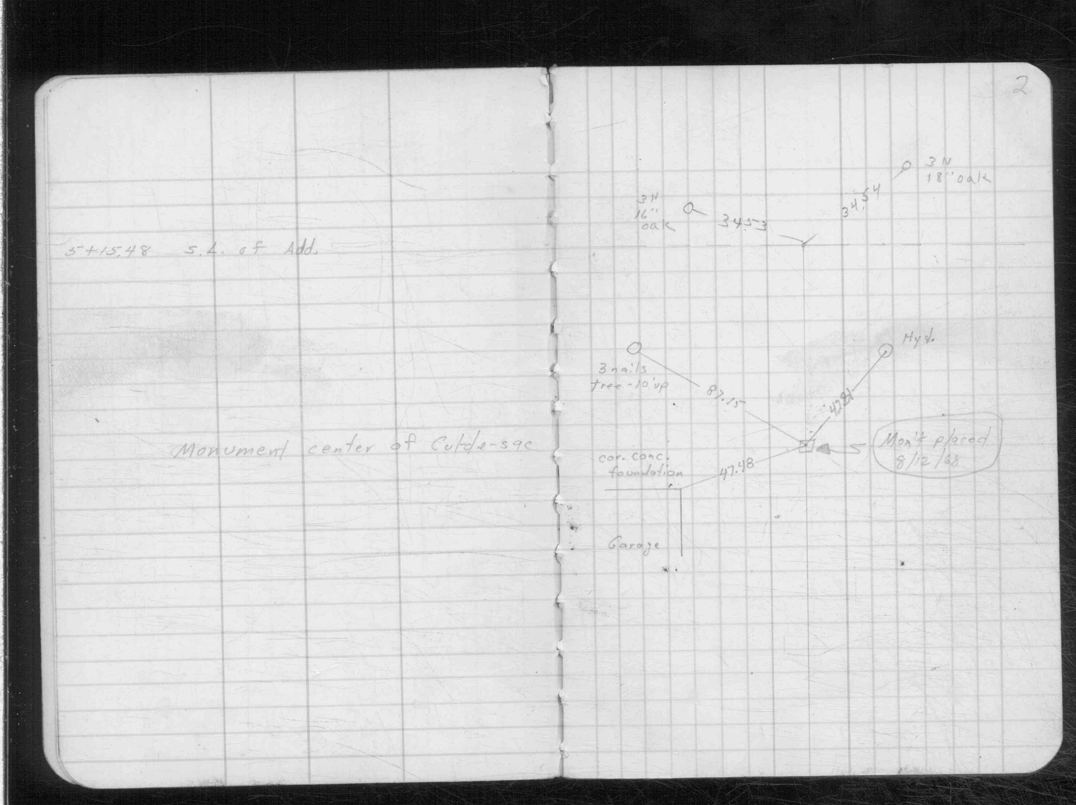
| 8/12/1968 | Monument set. Placed ties. See CS 3639 p.2 |
Above is NOT an all inclusive history of this point. Please review all the links below.
| PLS NOTES | Field | Cross Section | Sewer | J.B. Irvine | Monument | River Survey |
|---|---|---|---|---|---|---|
| CS 3639p.02 |
| FILE | SURVEYOR | LIC. NO. | DATE SIGNED | DATE TIED |
|---|---|---|---|---|
| 3660-xxxx-A.tif | Jeffery L. Grosso | 13144 | January 30, 2003 | January 30, 2003 |
| FILE | PHOTO DATE | COMMENTS |
|---|---|---|
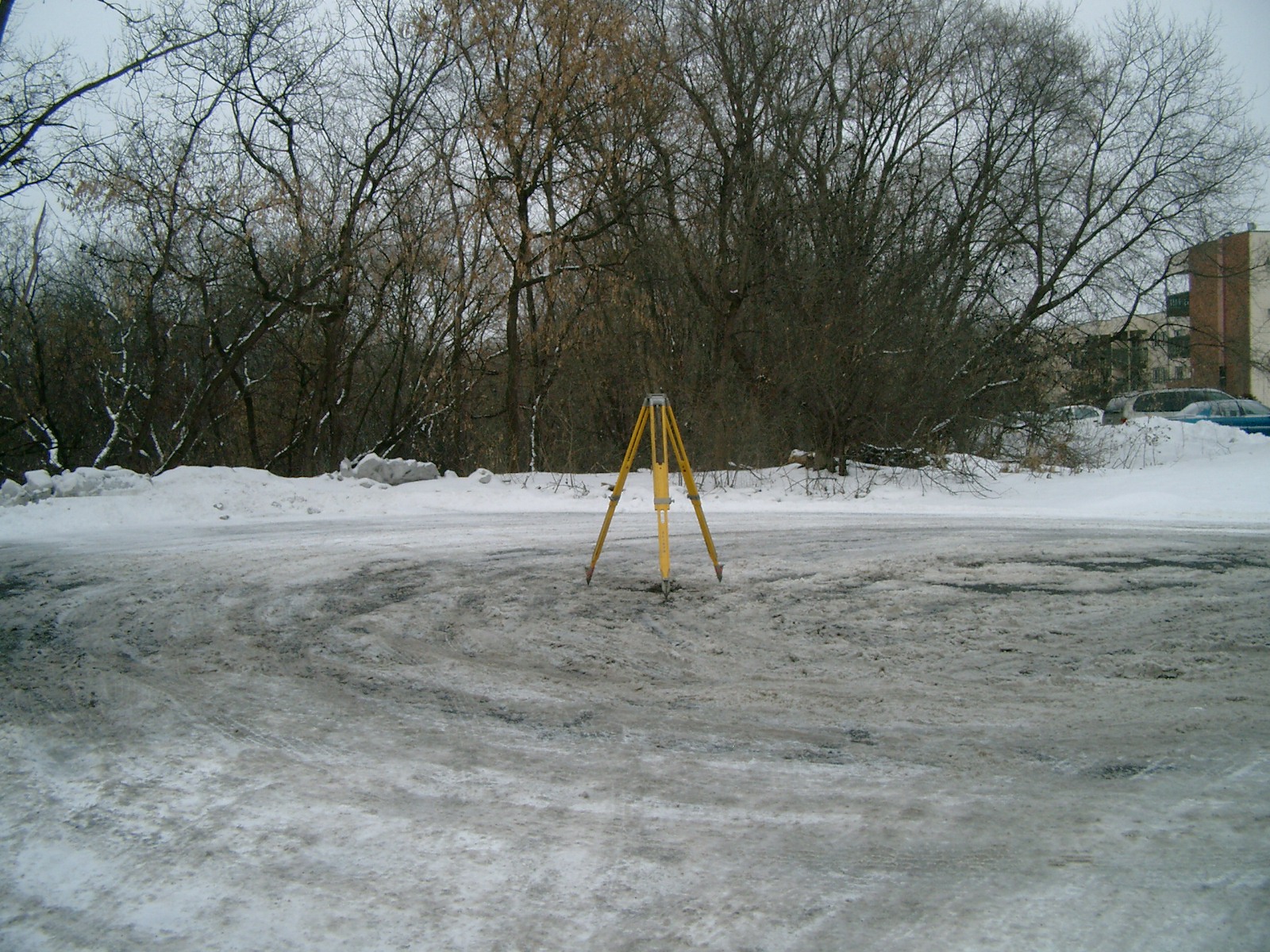
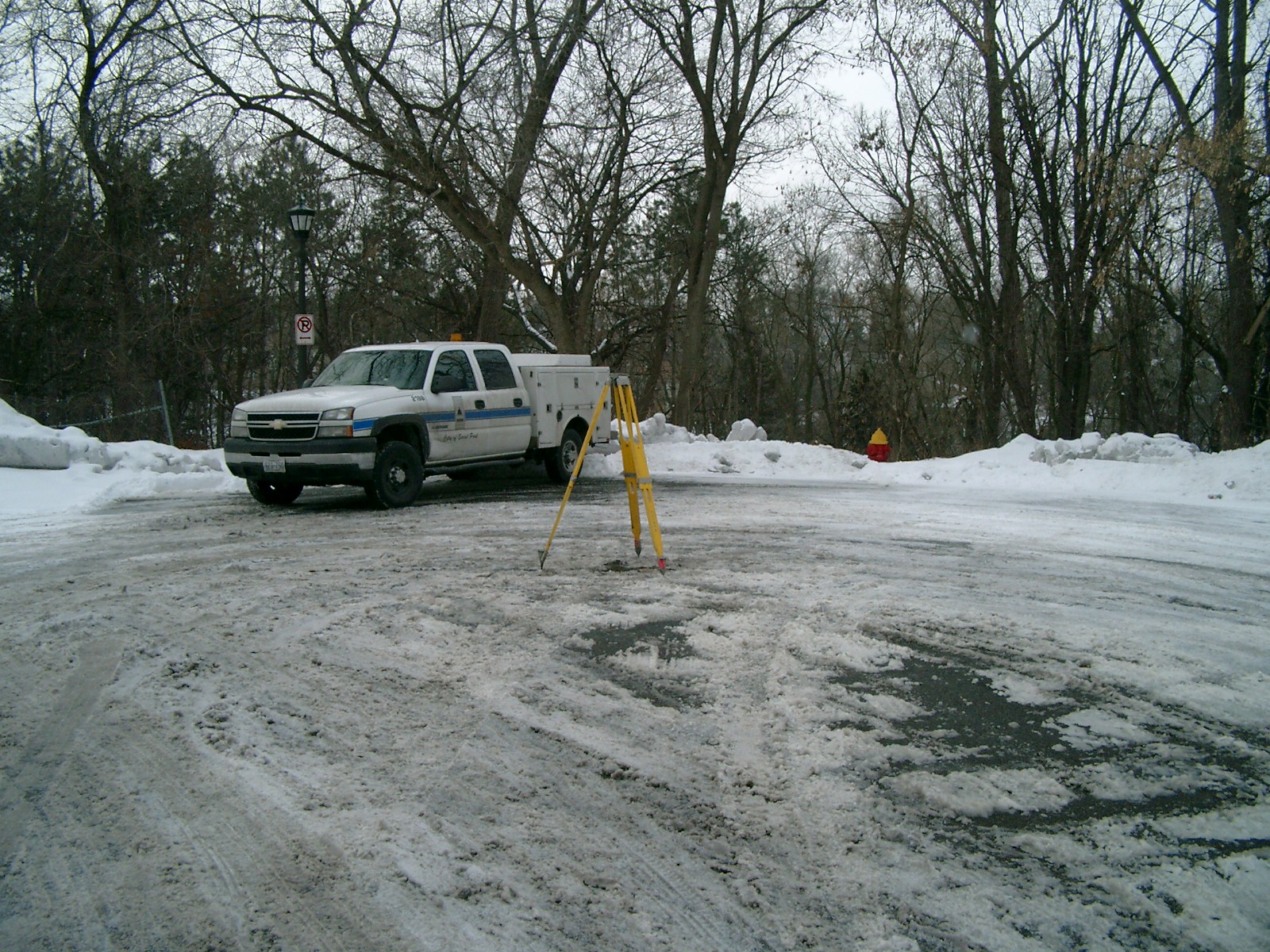
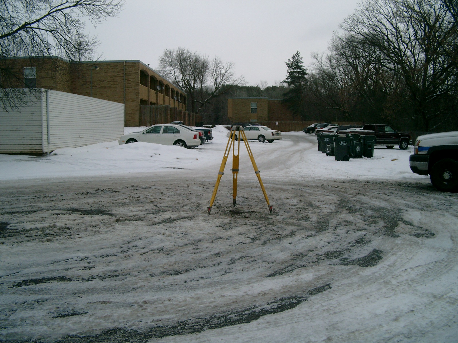
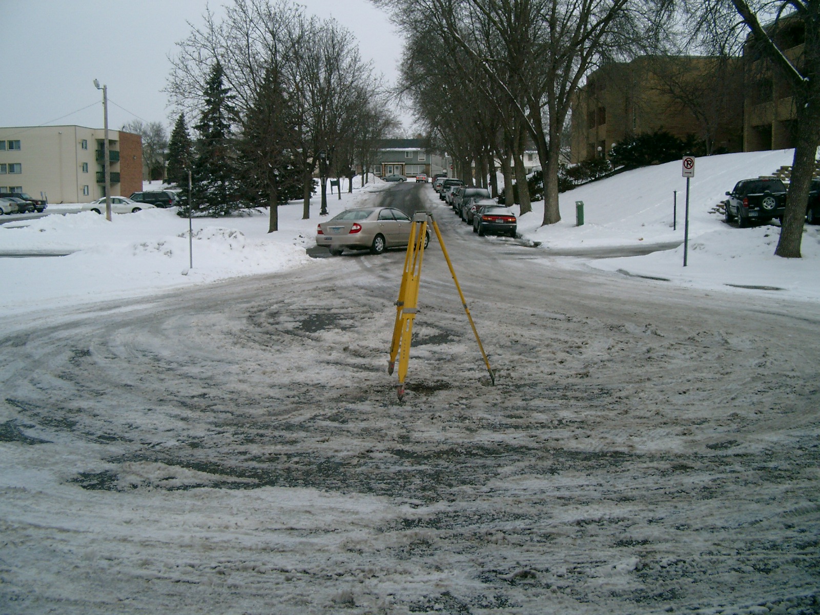
| 3660-__rz-5.jpg | January 31, 2013 | Looking west. |
| 3660-__rz-4.jpg | January 31, 2013 | Looking south. |
| 3660-__rz-3.jpg | January 31, 2013 | Looking east. |
| 3660-__rz-2.jpg | January 31, 2013 | Looking north along Kipling St. |
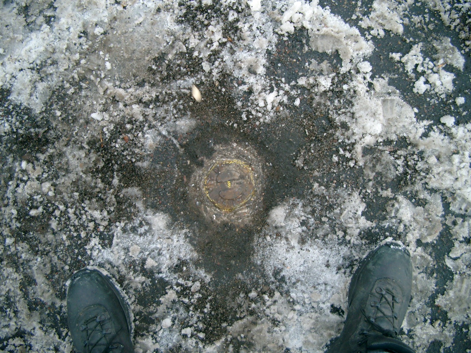
| 3660-__rz-1.jpg | January 31, 2013 | Close up of monument. |