| NAD83 COORDINATES (1986 adj.): |
|---|
| X= 581286.37 Y= 165843.36 Z= 218.9 04/10/2003 RTK-VRS |
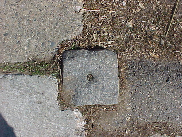
| 4/10/2003 | Fd GM 0.1 ft above sidewalk. Positioned by RTK-VRS GPS. |
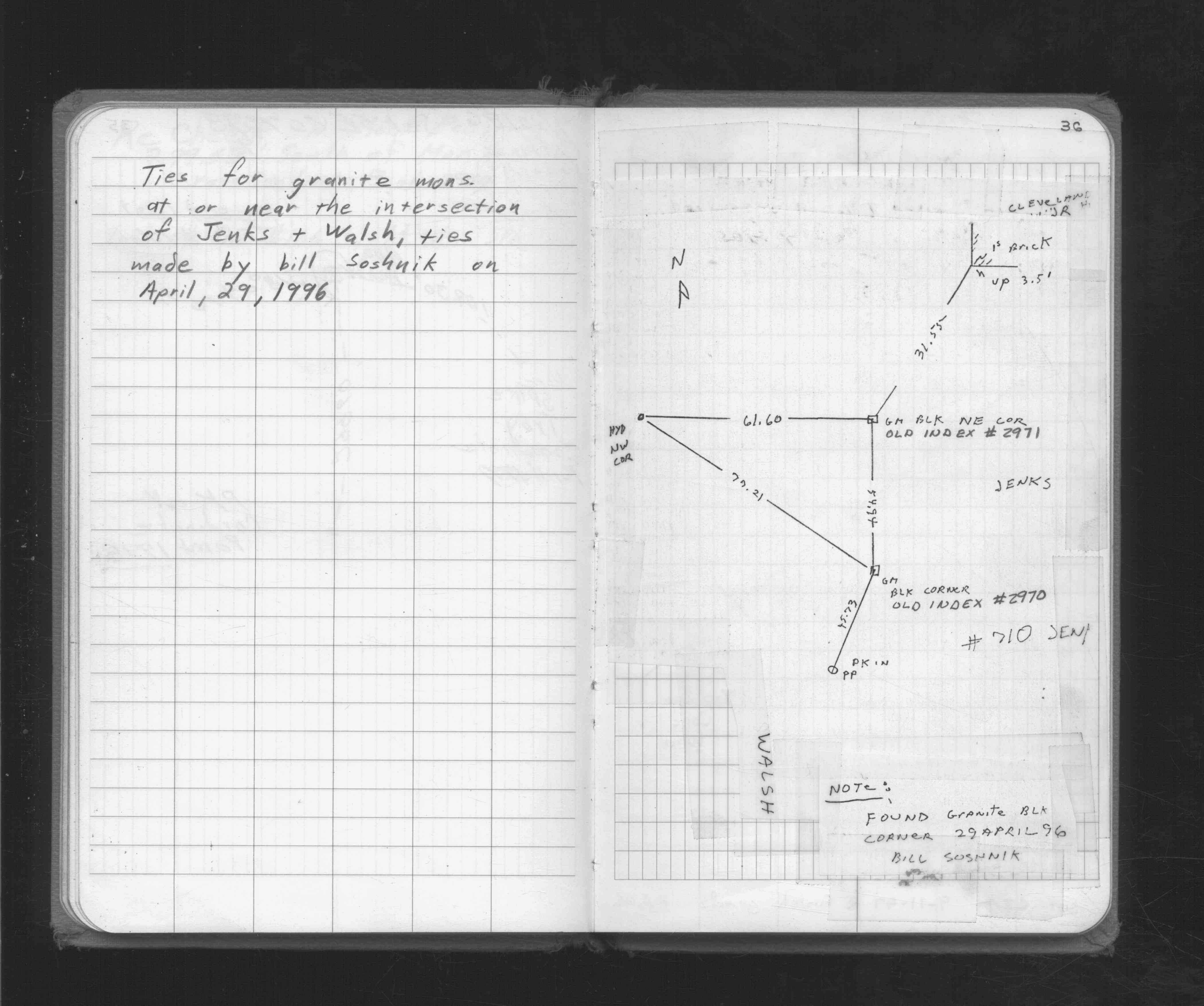
| 4/1/1996 | (Unknown date Apr __, 1996 ) Placed ties. See FB 1716 p.36 |
| 1/1/1908 | (Unknown date ___ __, 1908 ) Monument set by C F Scheunemann |
Above is NOT an all inclusive history of this point. Please review all the links below.
| PLS NOTES | Field | Cross Section | Sewer | J.B. Irvine | Monument | River Survey |
|---|---|---|---|---|---|---|
| FB 1716p.36 |
| FILE | PHOTO DATE | COMMENTS |
|---|---|---|
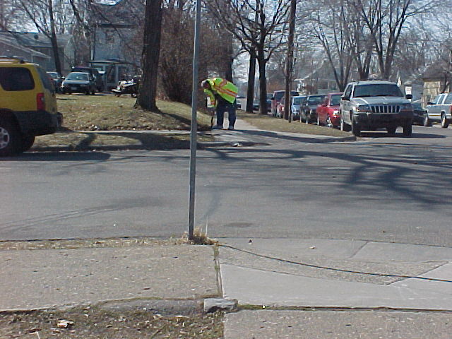
| 3679-2971-5.jpg | April 10, 2003 | Looking south. |
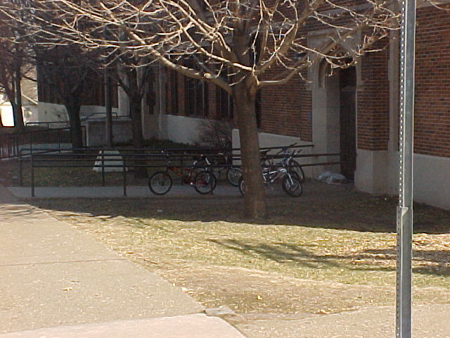
| 3679-2971-4.jpg | April 10, 2003 | Looking southwesterly. |
| 3679-2971-3.jpg | April 10, 2003 | Looking northeasterly. |
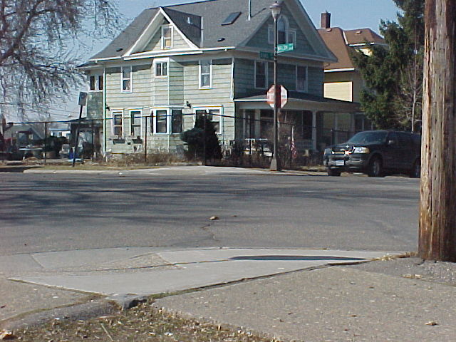
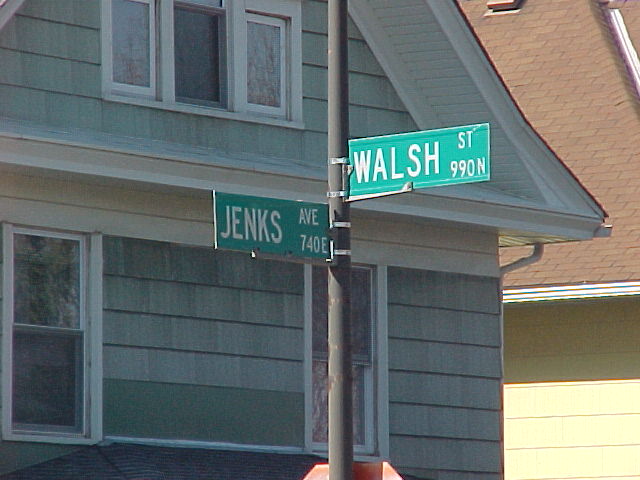
| 3679-2971-2.jpg | April 10, 2003 | Street sign. |
| 3679-2971-1.jpg | April 10, 2003 | Close up of GM. |