| NAD83 COORDINATES (1986 adj.): |
|---|
| X= 582169.82 Y= 166505.67 Z= 203.0 04/18/2003 RTK-VRS |
| 5/12/2010 | Photos taken of the GM after the sidewalk was replaced. |
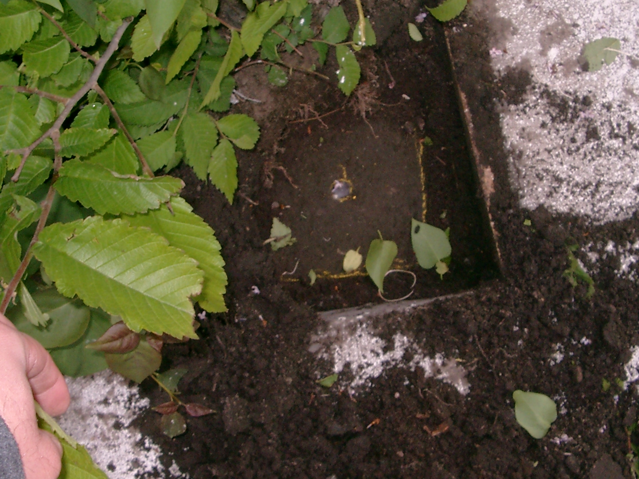
| 5/11/2010 | Found GM 0.2 ft below grade. Placed ties. See CofL 3688-1221B-A.pdf |
| 4/18/2003 | Fd GM down 0.4 ft below walk. Coordinate position established by RTK-VRS GPS. |
| 1/1/1887 | (Unknown date ___ __, 1887 ) Set by Chas Hunt in place of original iron. |
| FILE | SURVEYOR | LIC. NO. | DATE SIGNED | DATE TIED |
|---|---|---|---|---|
| 3688-1221B-A.pdf | Samuel D. Gibson | 44880 | May 13, 2010 | May 11, 2010 |
| FILE | PHOTO DATE | COMMENTS |
|---|---|---|
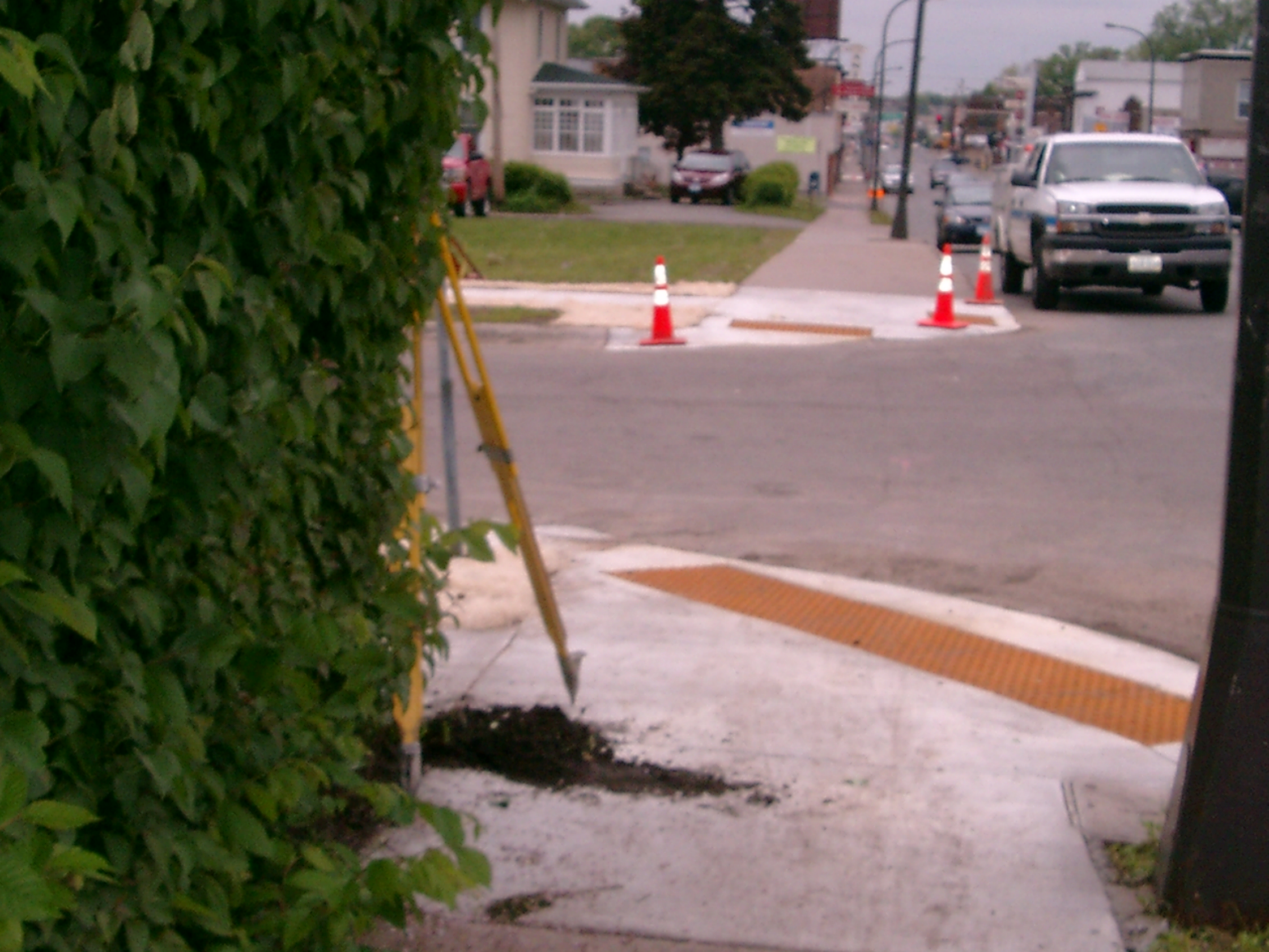
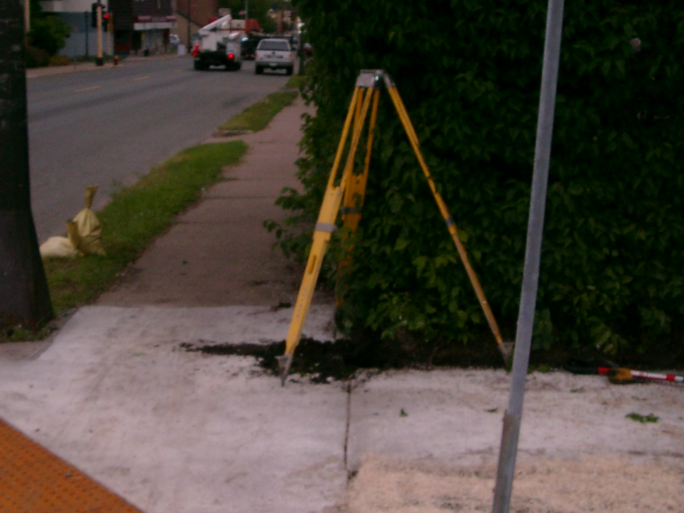
| 3688-1221B-9.jpg | May 12, 2010 | Looking South along the East side of Arcade St. |
| 3688-1221B-8.jpg | May 12, 2010 | Looking East along the North side of Cook Ave. |
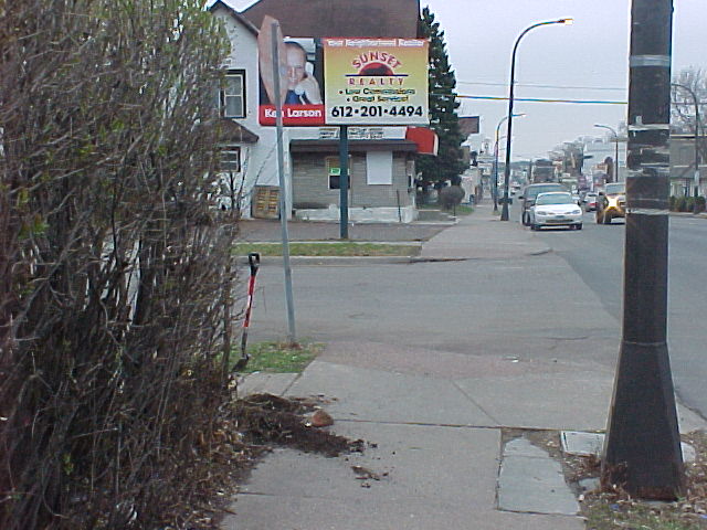
| 3688-1221B-7.jpg | May 12, 2010 | Looking North along the East side of Arcade St. |
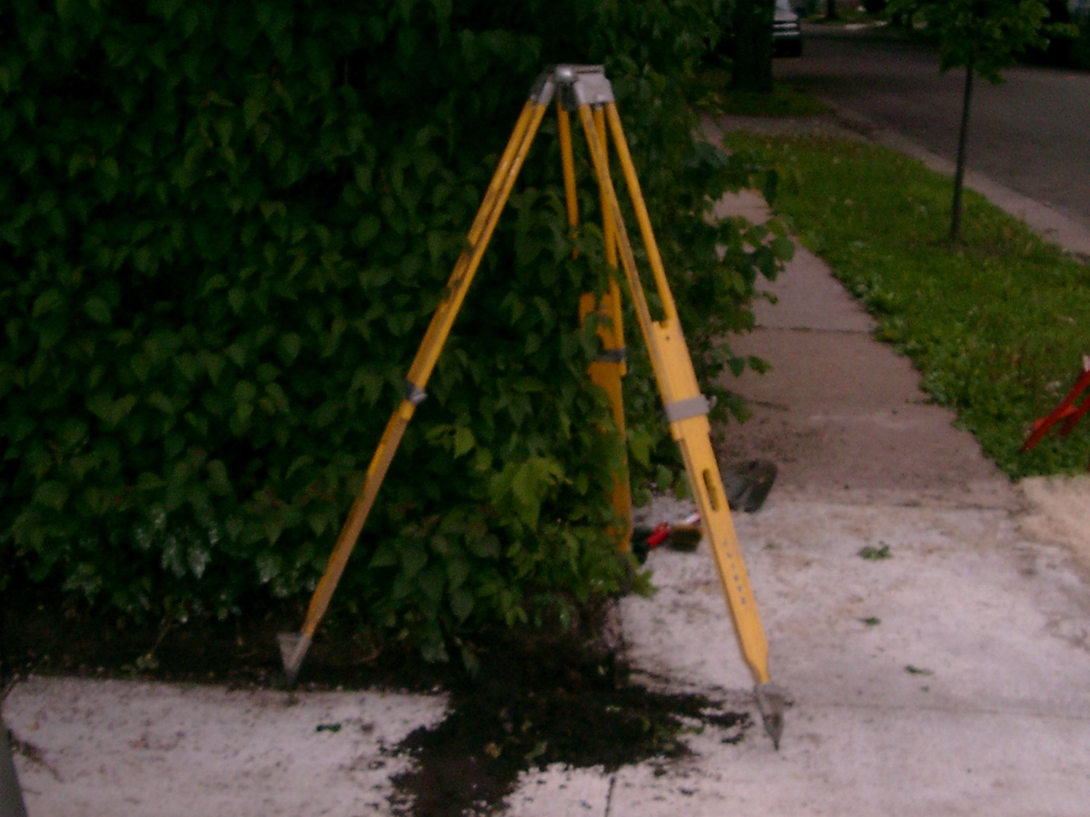
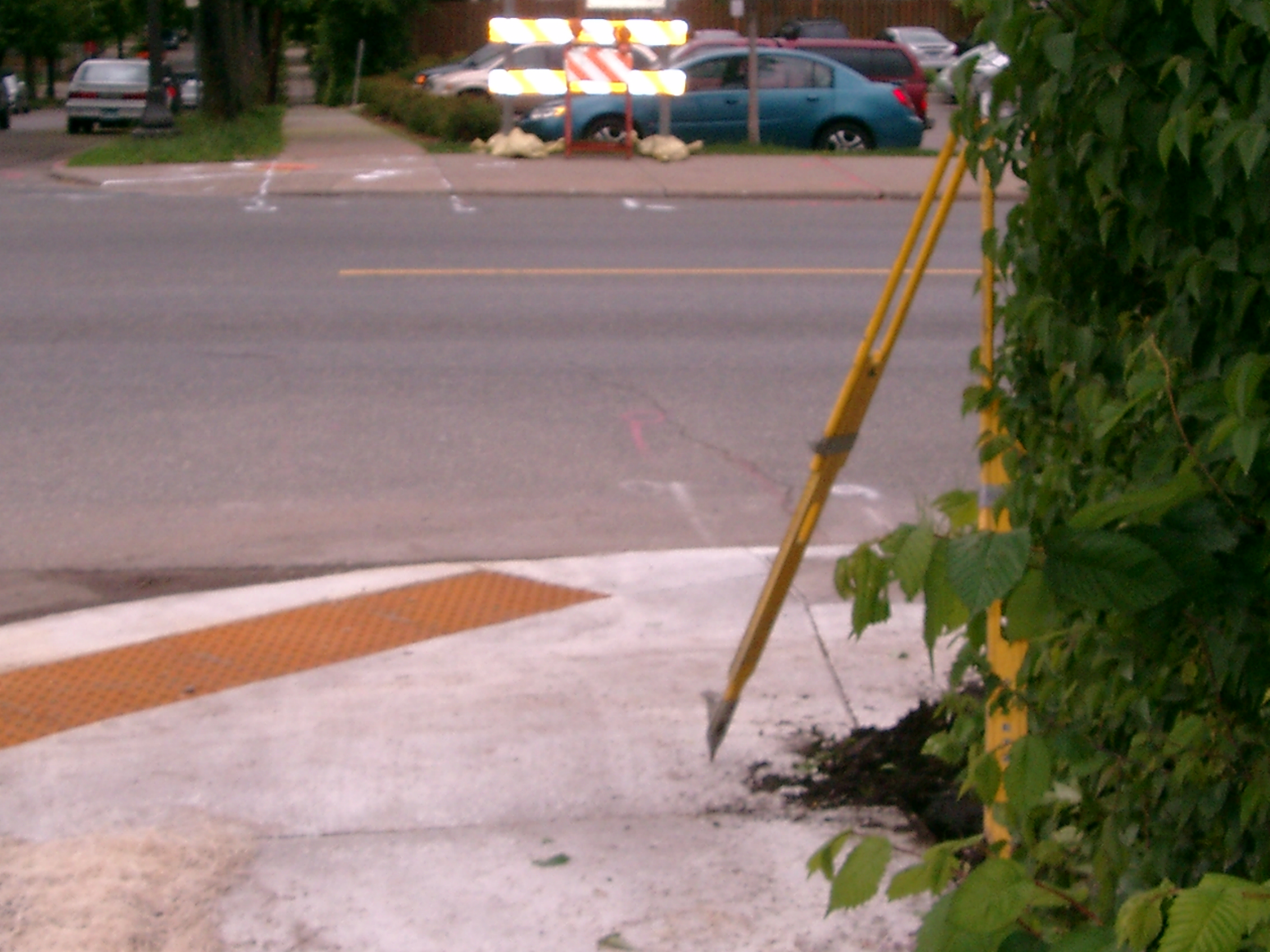
| 3688-1221B-6.jpg | May 12, 2010 | Close up of GM after the sidewalk was replaced. |
| 3688-1221B-10.jpg | May 12, 2010 | Looking West along the North side of Cook Ave. |
| 3688-1221B-5.jpg | April 18, 2003 | Looking south. |
| 3688-1221B-4.jpg | April 18, 2003 | Looking west. |
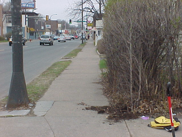
| 3688-1221B-3.jpg | April 18, 2003 | Looking north. |
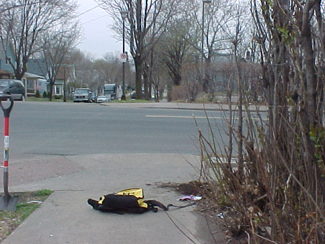
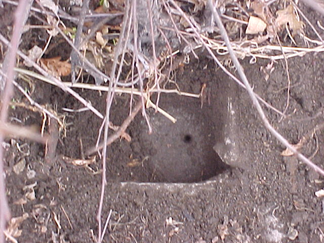
| 3688-1221B-1.jpg | April 18, 2003 | Close up of GM 0.4 ft below sidewalk. |