| NAD83 COORDINATES (1986 adj.): |
|---|
| X= 586736.984 Y= 160774.459 Z= 000.00 TOT 04/24/2003 STB |
| X= 586736.976 Y= 160774.457 Z= 000.00 TOT 04/16/2003 STB |
| 4/24/2003 | Located traverse pts and recomputed GM coordinate pos. |
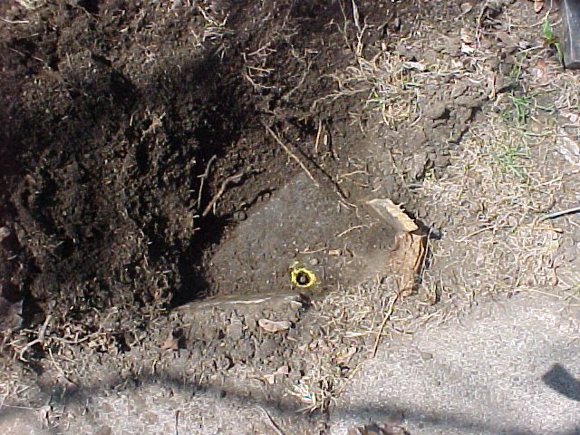
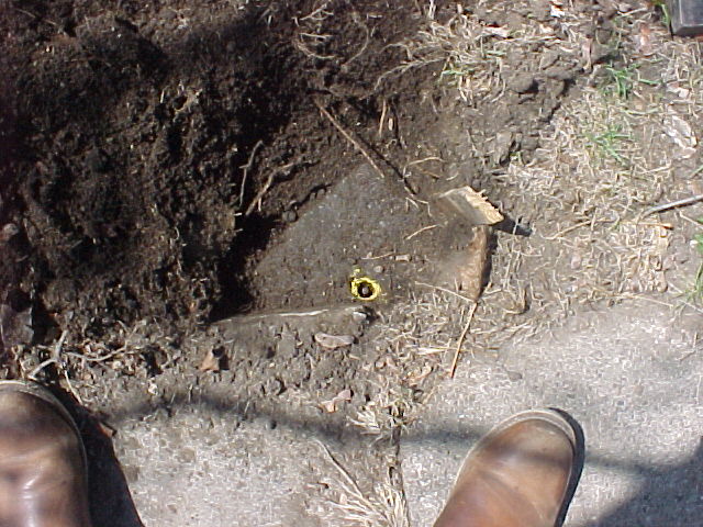
| 4/23/2003 | Fd GM down 0.3 ft below sidewalk. Placed magnet in GM. Photos taken. |
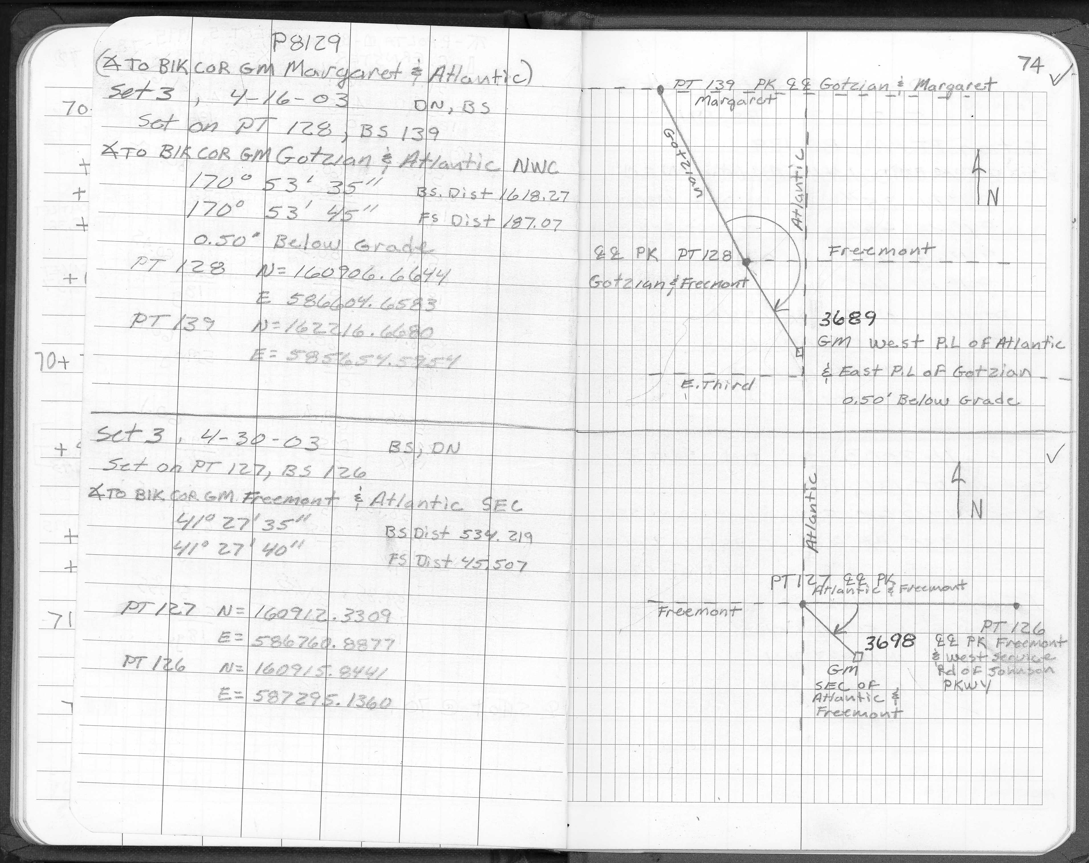
| 4/16/2003 | Located GM by traverse (single stub). See stubs.bat for comps. |
| 4/15/2003 | Fd GM down 0.3 ft below grade. |
| 1/1/1887 | (Unknown date ___ __, 1887 ) Monument set by Chas Hunt from original iron. |
Above is NOT an all inclusive history of this point. Please review all the links below.
| PLS NOTES | Field | Cross Section | Sewer | J.B. Irvine | Monument | River Survey |
|---|---|---|---|---|---|---|
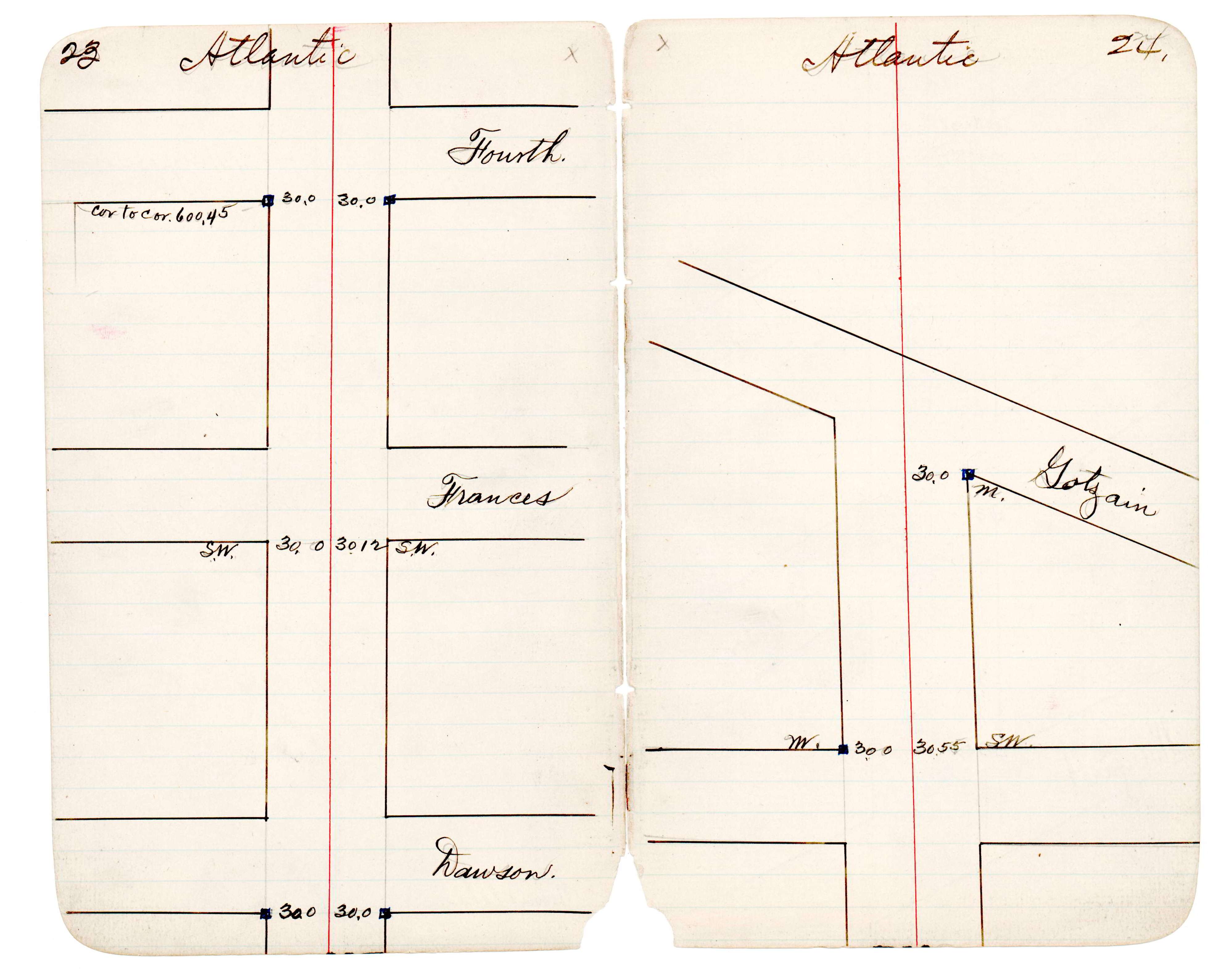
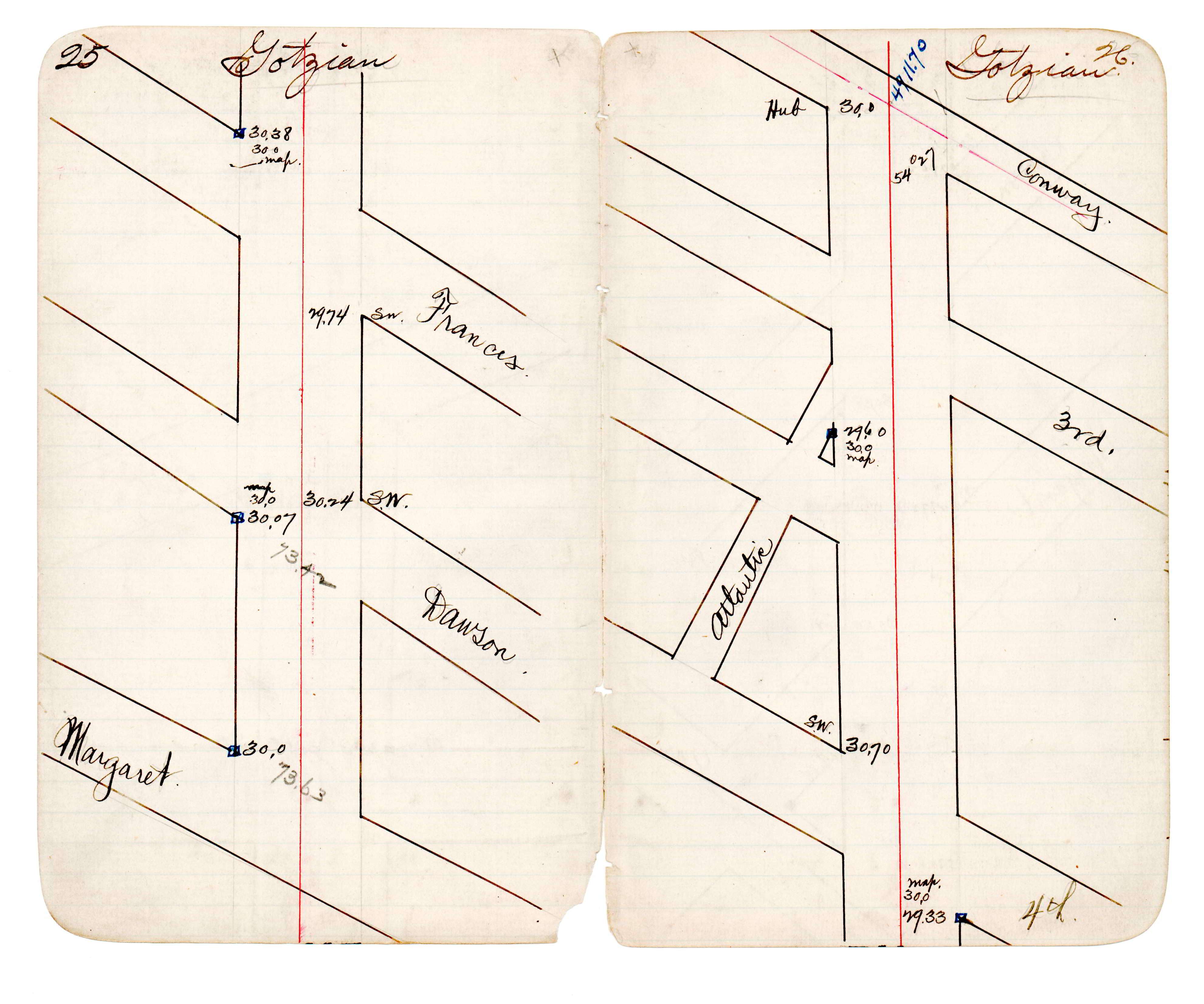
| FB 1728p.74 | JBI 30 p.23-24 JBI 30 p.25-26 |
| FILE | PHOTO DATE | COMMENTS |
|---|---|---|
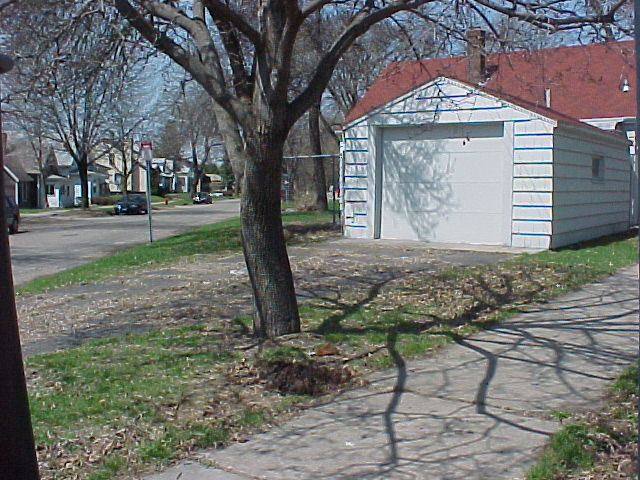
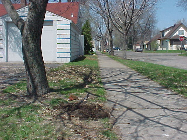
| 3689-1160A-5.jpg | April 23, 2003 | Looking northwesterly along the northeasterly line of Gotzian. |
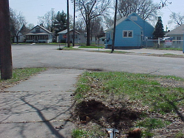
| 3689-1160A-4.jpg | April 23, 2003 | Looking south along the west line of Atlantic. |
| 3689-1160A-3.jpg | April 23, 2003 | Looking north along the west line of Atlantic. |
| 3689-1160A-2.jpg | April 23, 2003 | Close up of GM. |
| 3689-1160A-1.jpg | April 23, 2003 | Close up of GM. |