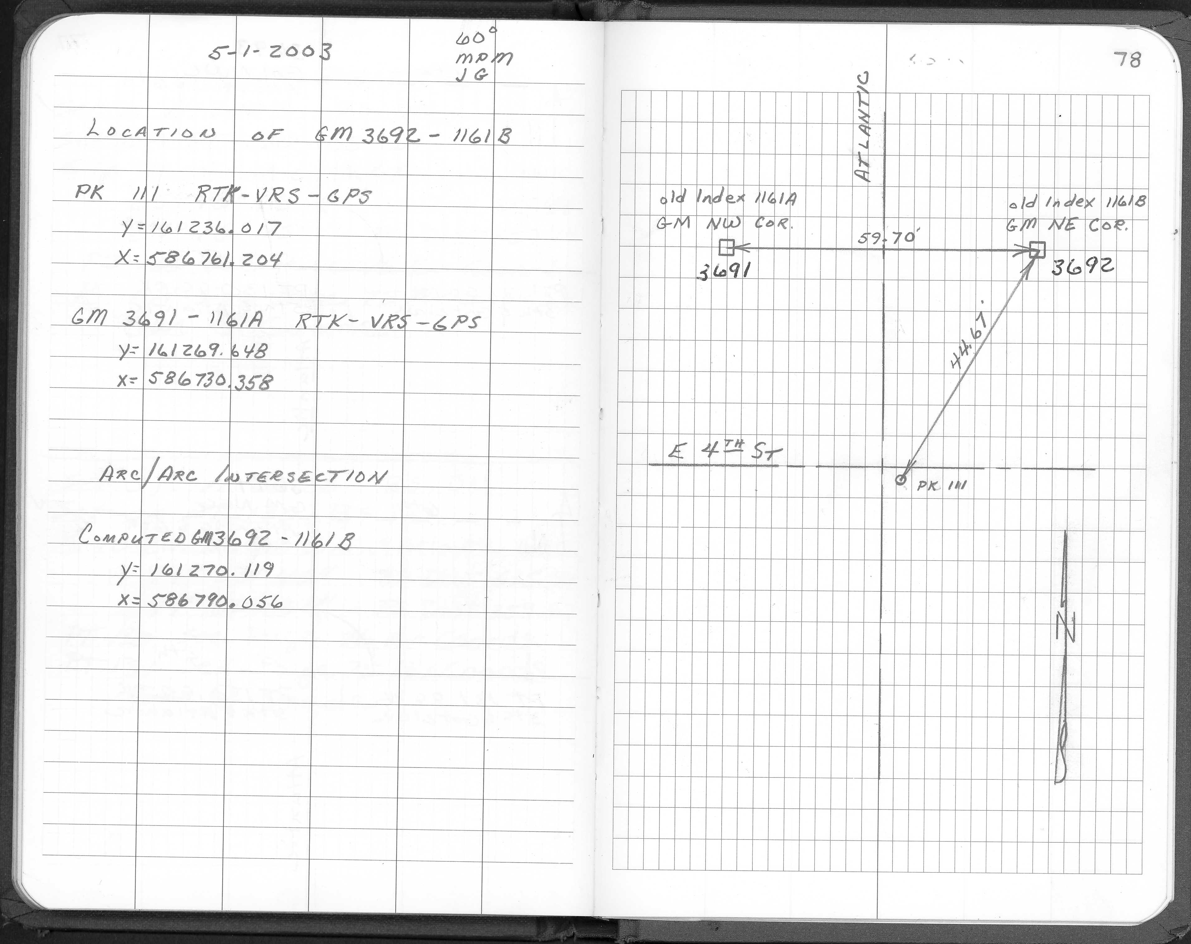
| NAD83 COORDINATES (1986 adj.): |
|---|
| X= 586790.056 Y= 161270.119 Z= 000.00 TOT 03/14/2002 STB |
| X= 586790.173 Y= 161270.088 Z= 000.00 TOT 11/01/2002 STB |
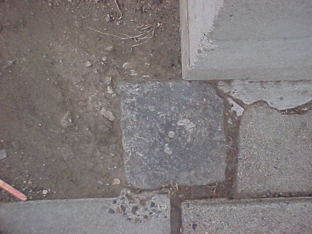
| 4/30/2003 | Fd GM with mag nail in hole, at sidewalk grade. Photos taken. |
| 11/1/2002 | (Unknown date Nov __, 2002 ) Fd GM. |
| 2/6/1990 | Monument not disturbed. |
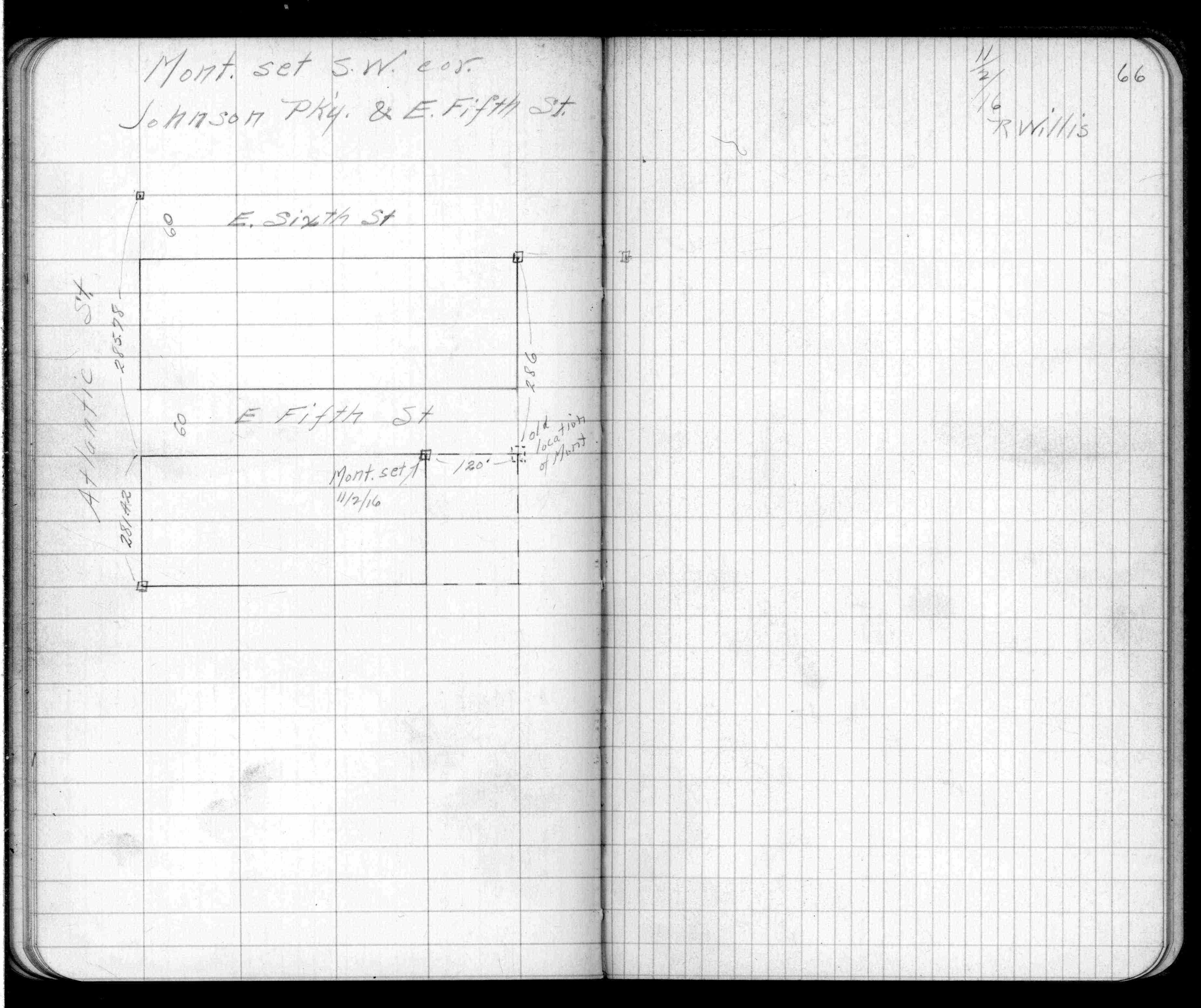
| 11/2/1916 | Monument located. See FB 750A, p.66 |
| 1/1/1887 | (Unknown date ___ __, 1887 ) Monument set by Chas Hunt from original iron. |
Above is NOT an all inclusive history of this point. Please review all the links below.
| PLS NOTES | Field | Cross Section | Sewer | J.B. Irvine | Monument | River Survey |
|---|---|---|---|---|---|---|
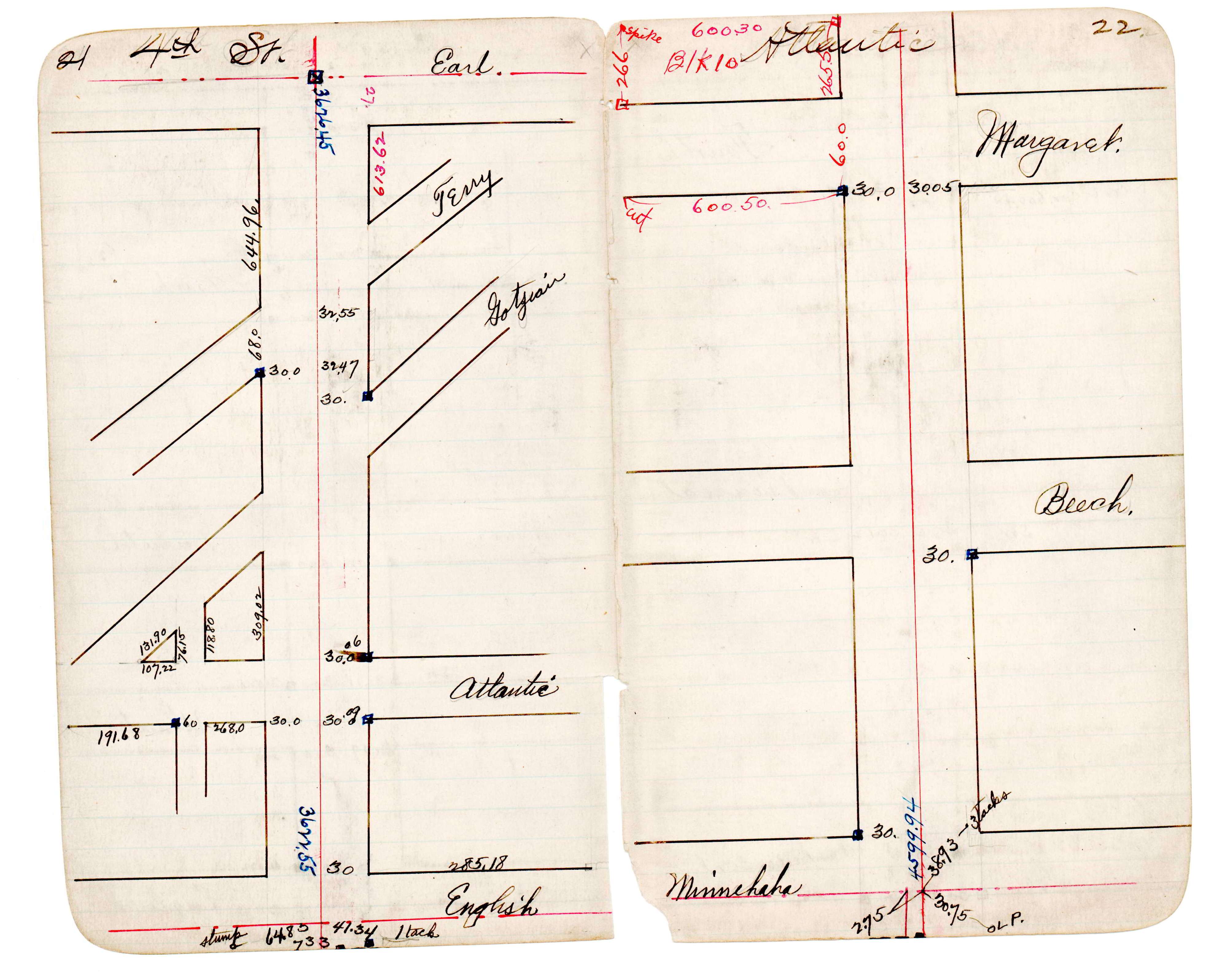
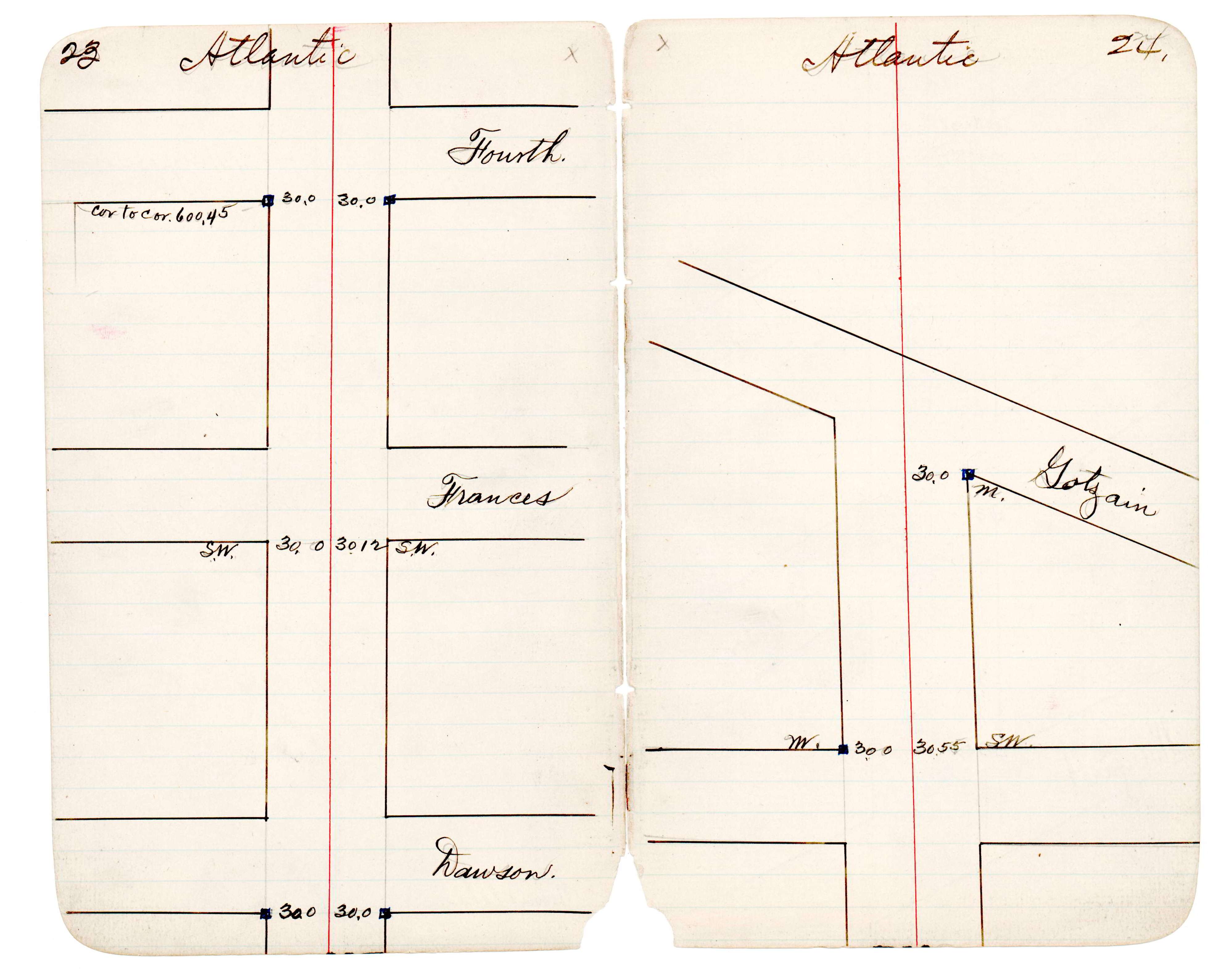
| FB 0750Ap.66 | JBI 30 p.21-22 JBI 30 p.23-24 | |||||
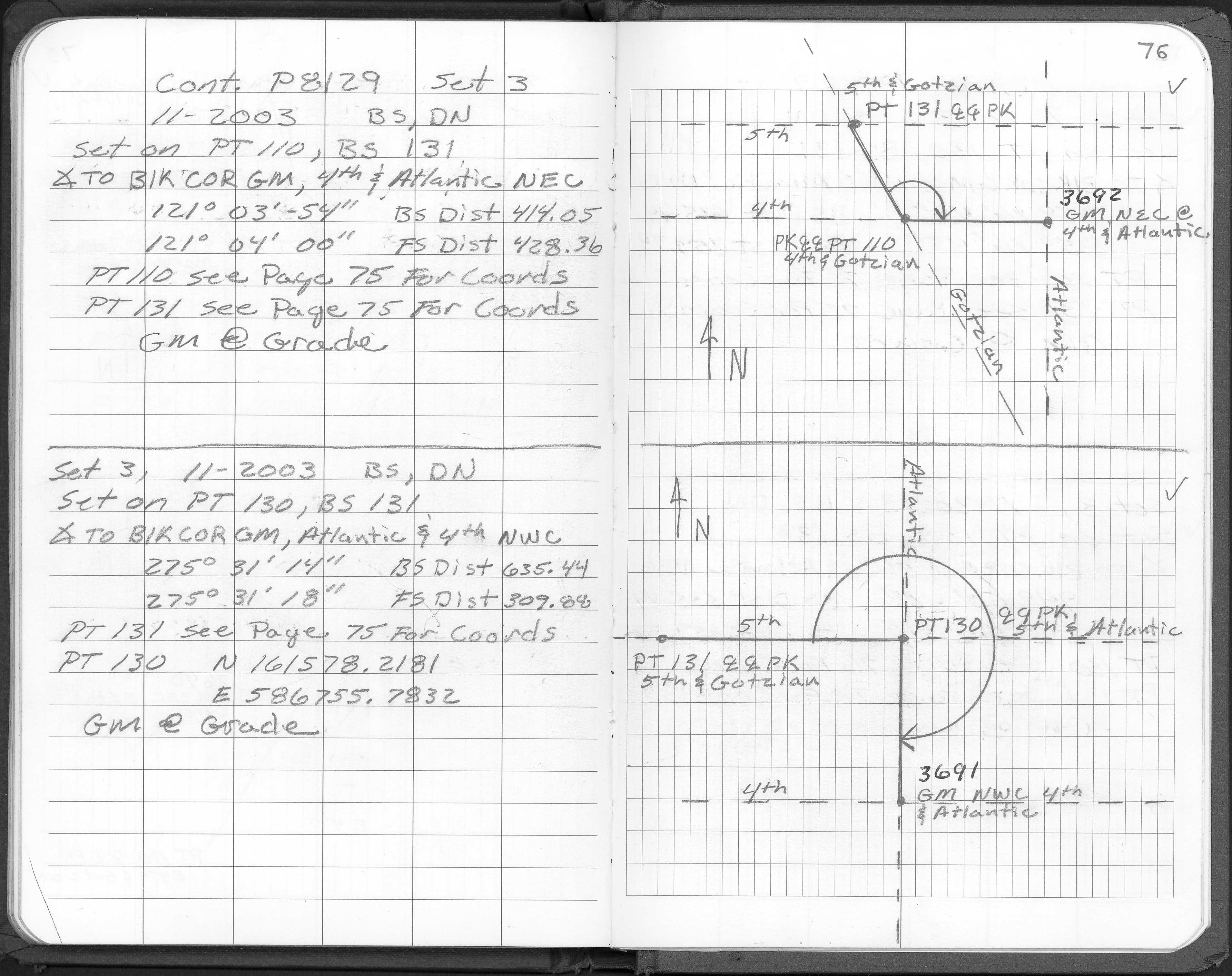
| FB 1728p. 76 ,78 |
| FILE | PHOTO DATE | COMMENTS |
|---|---|---|
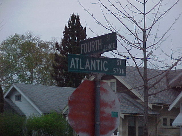
| 3692-1161B-6.jpg | April 30, 2003 | Street sign. |
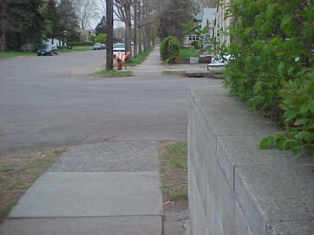
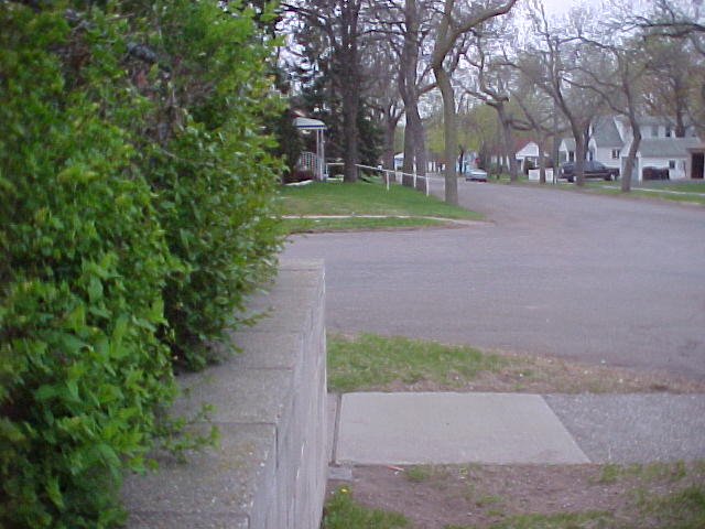
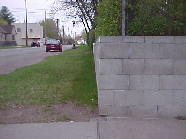
| 3692-1161B-5.jpg | April 30, 2003 | Looking west. |
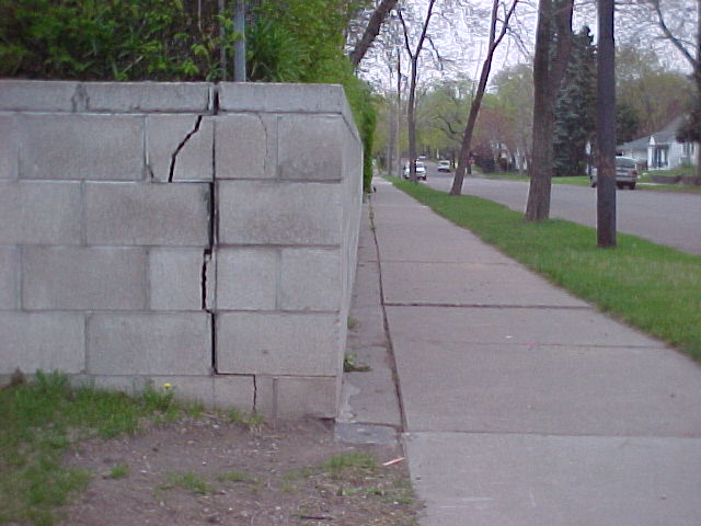
| 3692-1161B-4.jpg | April 30, 2003 | Looking south. |
| 3692-1161B-3.jpg | April 30, 2003 | Looking east. |
| 3692-1161B-2.jpg | April 30, 2003 | Looking north. |
| 3692-1161B-1.jpg | April 30, 2003 | Close up of GM. |