| NAD83 COORDINATES (1986 adj.): |
|---|
| X= 585899.24 Y= 161925.39 Z= 188.7 05/01/2003 RTK-VRS |
| 5/1/2003 | Fd 5"x5" GM at sidewalk grade, position on GM established by GPS. |
| 4/30/2003 | Fd 5"x5" GM at sidewalk grade. Photos taken. |
| 2/7/1890 | Monument set by Chas A Hunt after grading in place of iron |
Above is NOT an all inclusive history of this point. Please review all the links below.
| PLS NOTES | Field | Cross Section | Sewer | J.B. Irvine | Monument | River Survey |
|---|---|---|---|---|---|---|
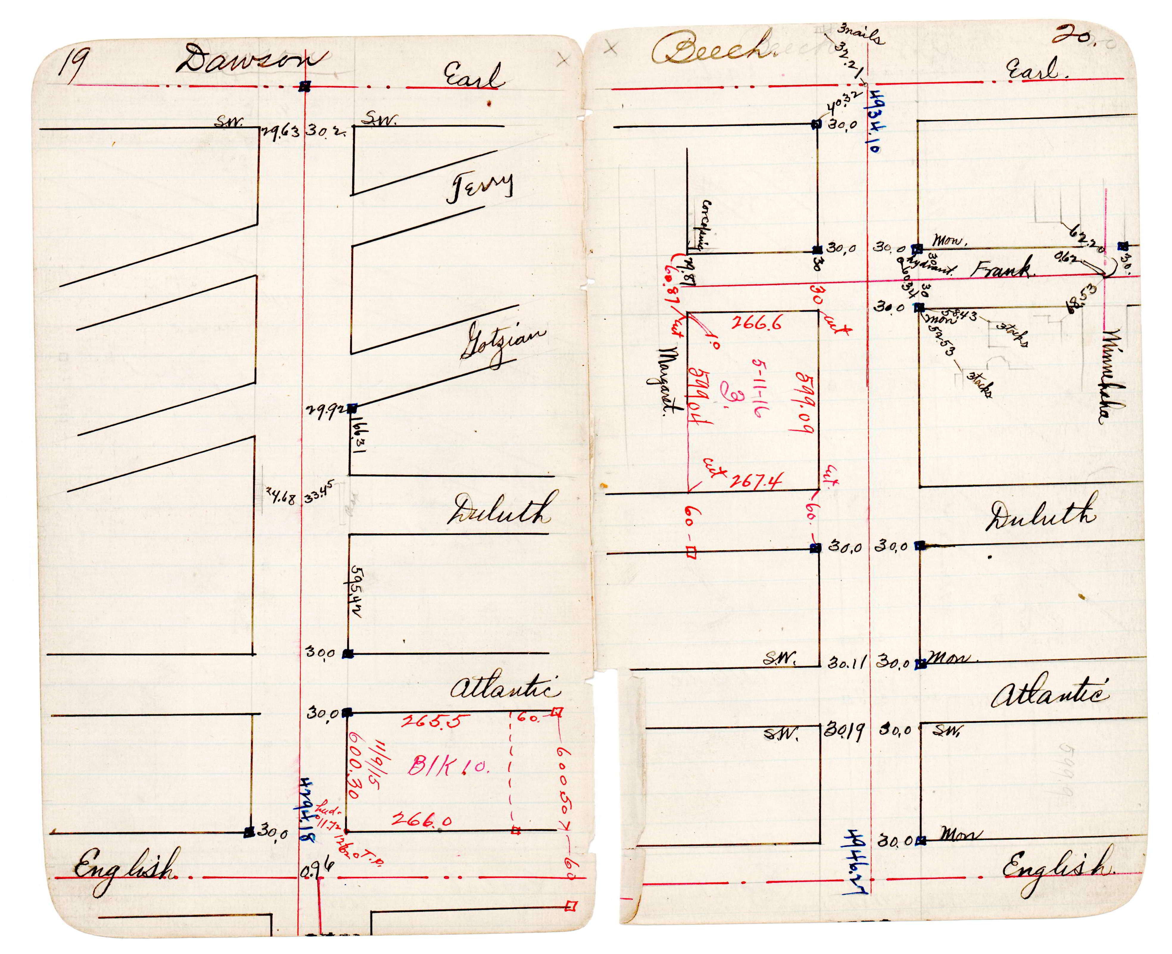
| JBI 30 p.19-20 |
| FILE | PHOTO DATE | COMMENTS |
|---|---|---|
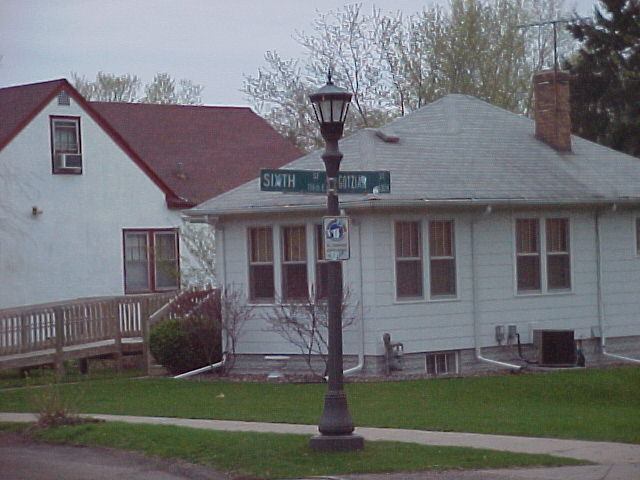
| 3703-1816-6.jpg | April 30, 2003 | Street sign. |
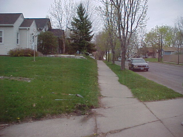
| 3703-1816-5.jpg | April 30, 2003 | Looking southeasterly along the easterly line of Gotzian. |
| 3703-1816-4.jpg | April 30, 2003 | Looking east. |
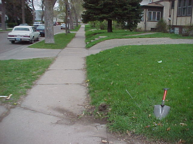
| 3703-1816-3.jpg | April 30, 2003 | Looking west. |
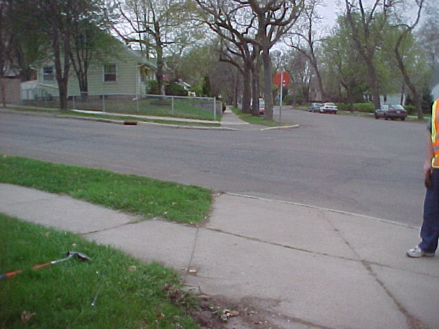
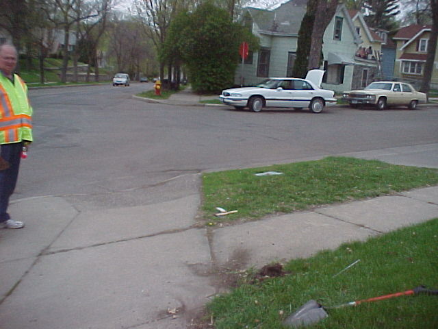
| 3703-1816-2.jpg | April 30, 2003 | Looking northeasterly along the easterly line of Gotzian. |
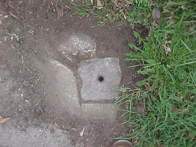
| 3703-1816-1.jpg | April 30, 2003 | Close up of GM. |