| NAD83 COORDINATES (1986 adj.): |
|---|
| X= 584897.43 Y= 162237.80 Z= 154.5 05/01/2003 RTK-VRS |
| 10/10/2013 | Dug 1.5' x 1.5' x 1.5' hole and probed an additional 1.0', no monument found. |
| 5/1/2003 | Photos take. Position on GM established by RTK-VRS GPS. |
| 5/1/2003 | Fd GM with nail in hole 0.45 ft N of N walk line on Margret, north side of GM broken. |
| 1/1/1887 | (Unknown date ___ __, 1887 ) Monument set by Chas Hunt showing street line as graded. |
Above is NOT an all inclusive history of this point. Please review all the links below.
| PLS NOTES | Field | Cross Section | Sewer | J.B. Irvine | Monument | River Survey |
|---|---|---|---|---|---|---|
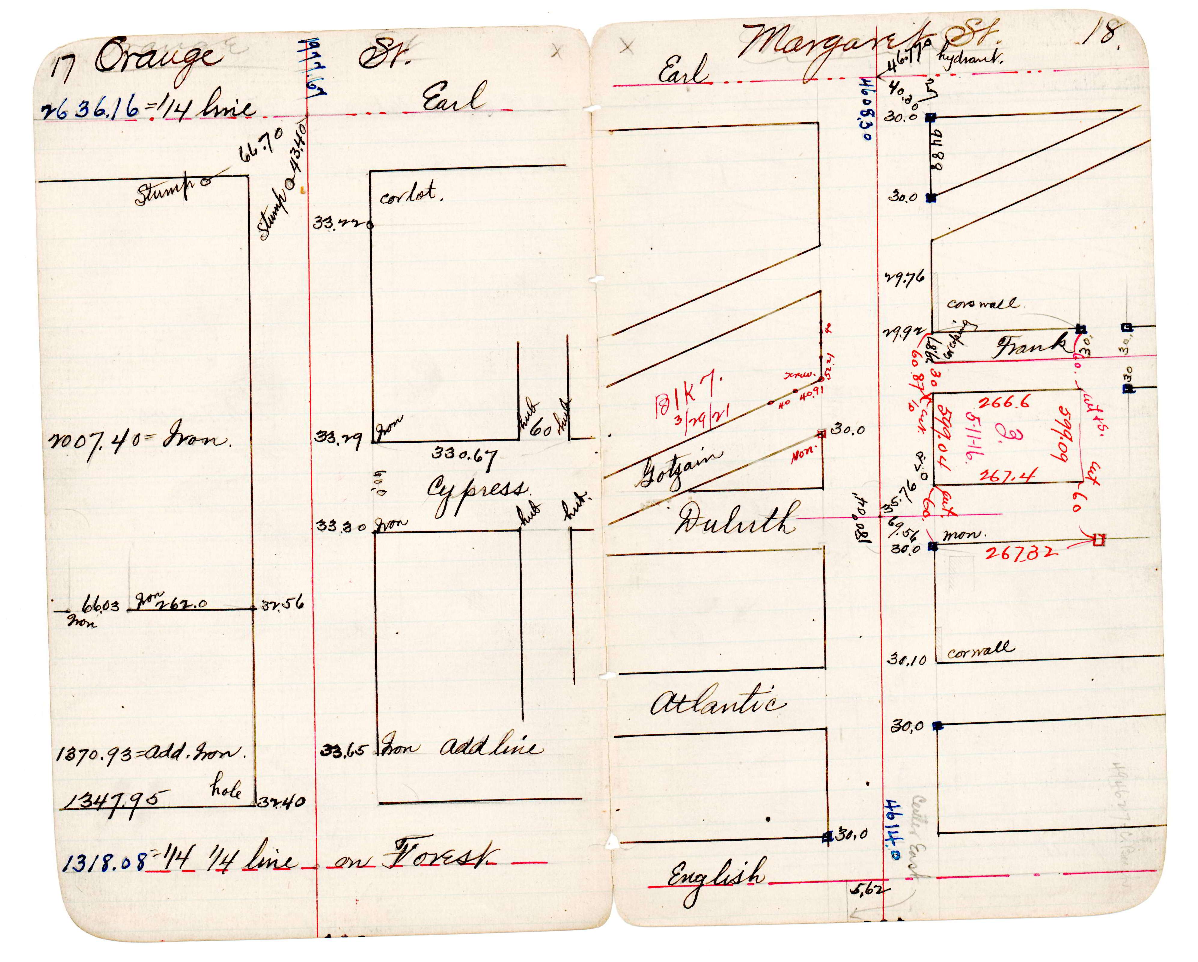
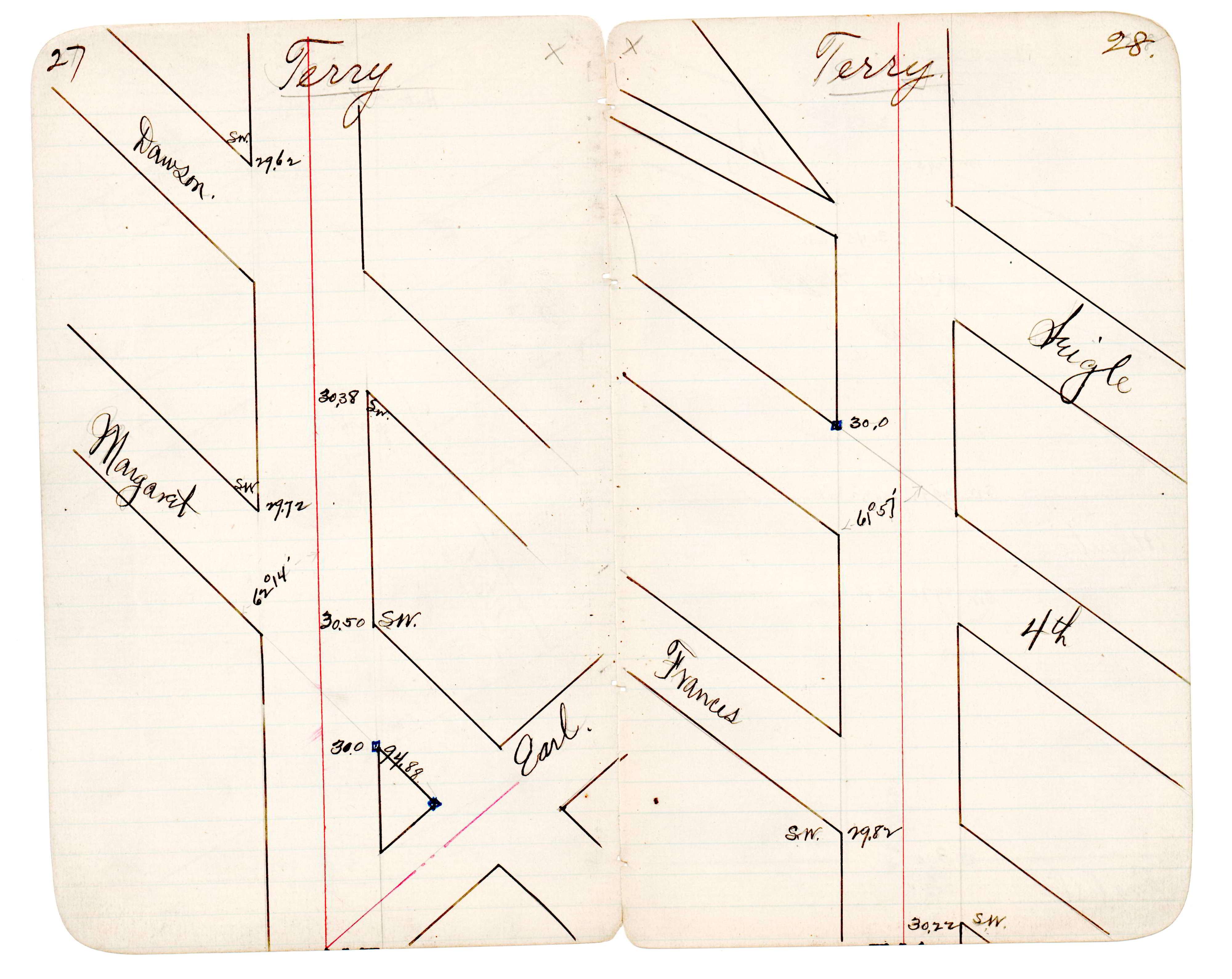
| JBI 30 p.17-18 JBI 30 p.27-28 |
| FILE | PHOTO DATE | COMMENTS |
|---|---|---|
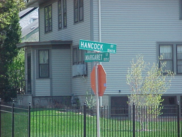
| 3705-1183-7.jpg | May 1, 2003 | Street sign. |
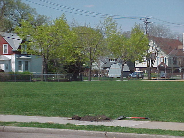
| 3705-1183-6.jpg | May 1, 2003 | Looking northwesterly. |
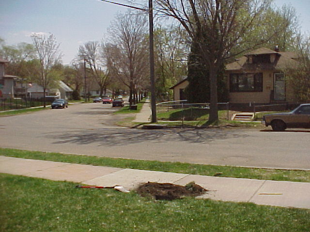
| 3705-1183-5.jpg | May 1, 2003 | Looking east. |
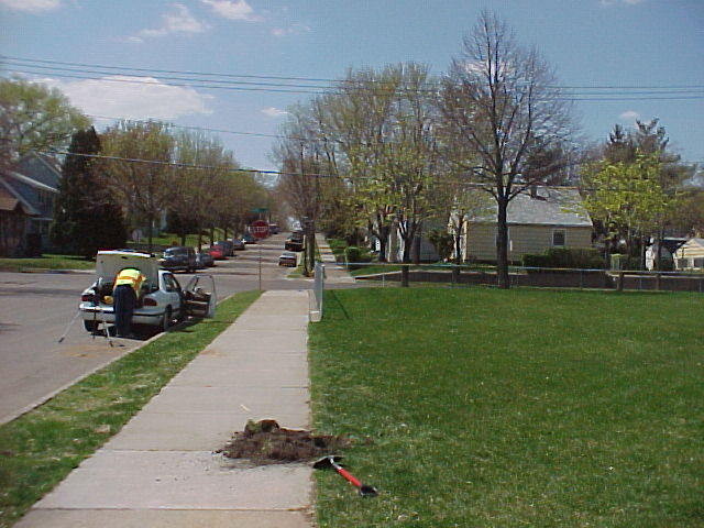
| 3705-1183-4.jpg | May 1, 2003 | Looking west towards Earl St. |
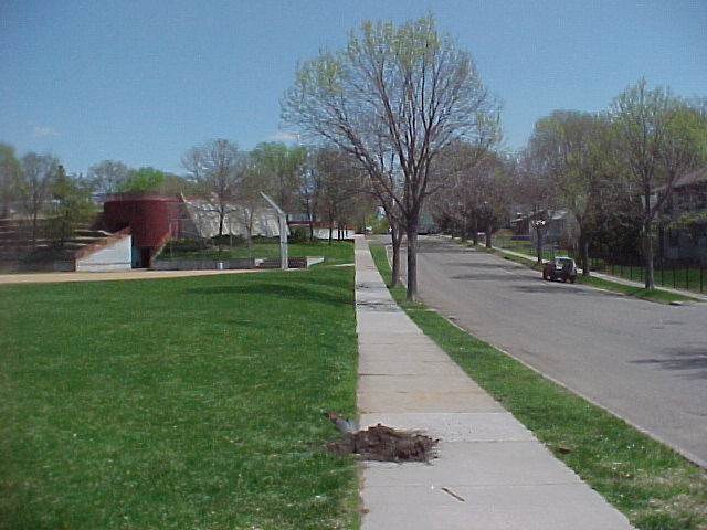
| 3705-1183-3.jpg | May 1, 2003 | Looking south along the west line of Hancock. |
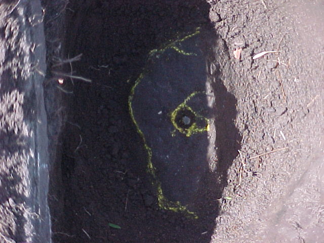
| 3705-1183-2.jpg | May 1, 2003 | Close up of GM. |