| NAD83 COORDINATES (1986 adj.): |
|---|
| X= 591979.37 Y= 166214.52 Z= 932.3 12/23/2003 RTK-VRS |
| 12/24/2003 | Photos taken. |
| 12/23/2003 | Position on iron established by RTK-VRS GPS. See gps-blk-cors/2003-12-23/Case-Flandrau |
| 12/22/2003 | Fd iron marked RLS 23300. Probed down 0.5 feet no GM found. |
| 1/30/1889 | Monument set by Chas Hunt |
| FILE | PHOTO DATE | COMMENTS |
|---|---|---|
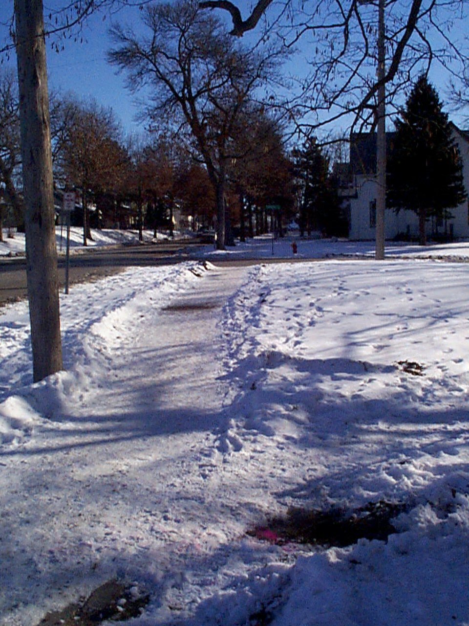
| 3731-1465A-3.jpg | December 24, 2003 | looking Southeasterly showing the relative position to the power pole. |
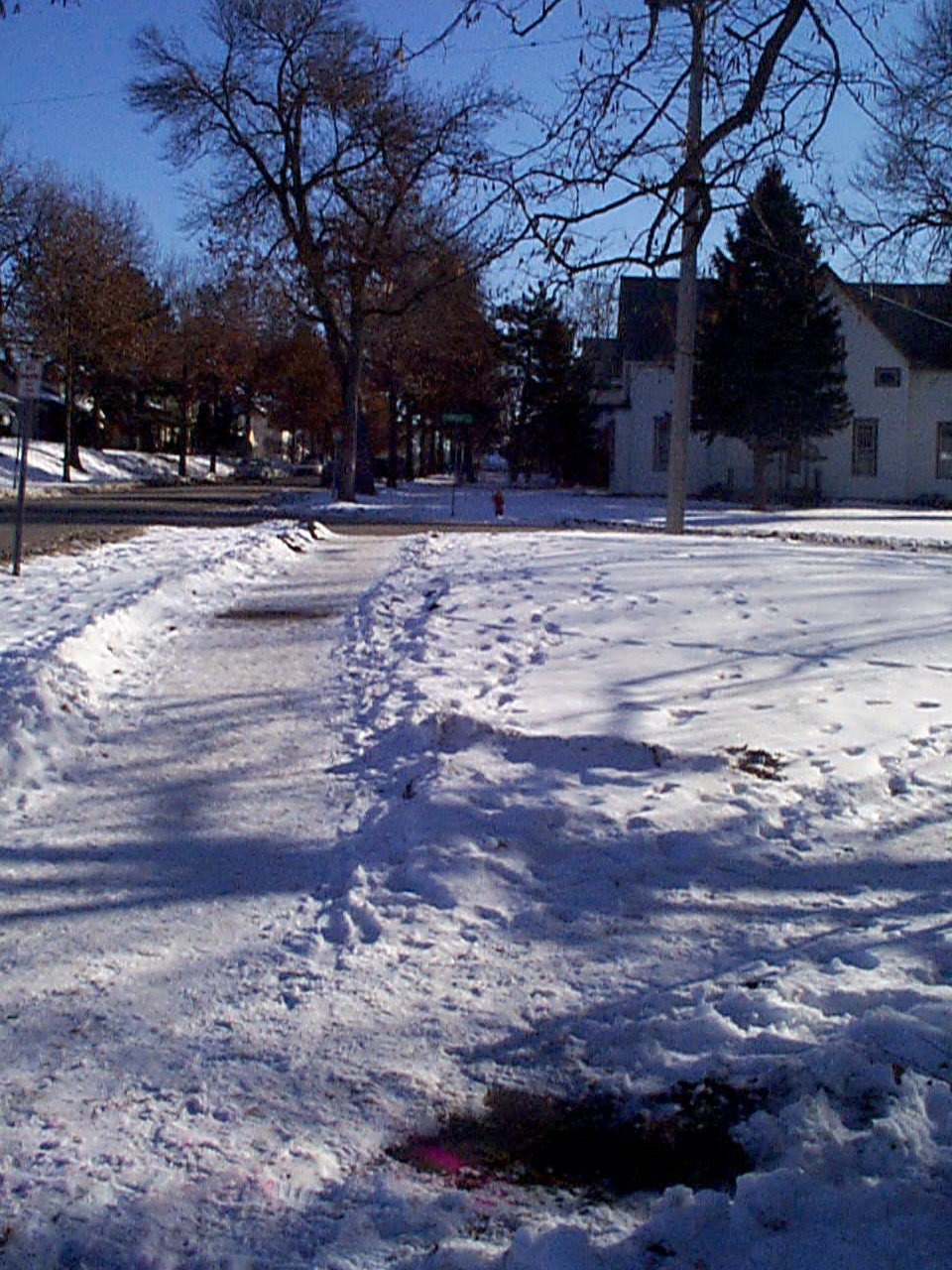
| 3731-1465A-2.jpg | December 24, 2003 | looking Southeasterly towards Flandrau St. from the south side of Ames Place. |
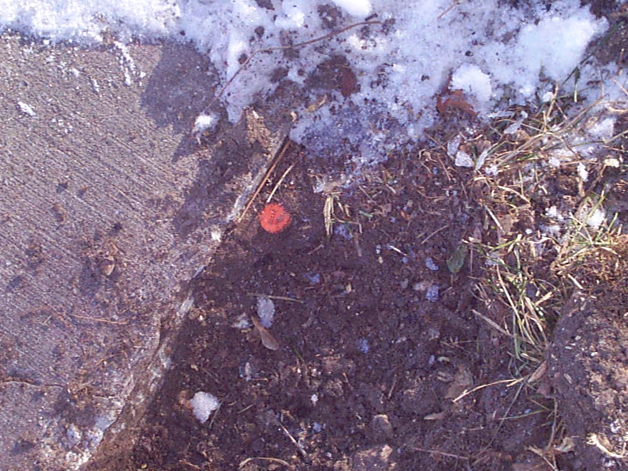
| 3731-1465A-1.jpg | December 24, 2003 | Close-up of the RLS iron next to the sidewalk. |