| NAD83 COORDINATES (1986 adj.): |
|---|
| X= 571825.683 Y= 168011.247 Z= 862.9 01/10/2005 RTK-VRS |
| X= 571825.612 Y= 168011.214 Z= 862.186 5/29/2012 RTK-VRS |
| 5/29/2012 | Position on CIM established using RTK-VRS GPS. Elev 168.09 ft. |
| 5/26/2012 | GM replaced with CIM under casting. Photos taken and ties placed. |
| 6/17/2011 | Found GM at grade. Photos taken. |
| 3/3/2005 | Position on GM established by RTK-VRS GPS. |
| 1/10/2005 | Position on GM established by RTK-VRS GPS. Elev 862.9 ft |
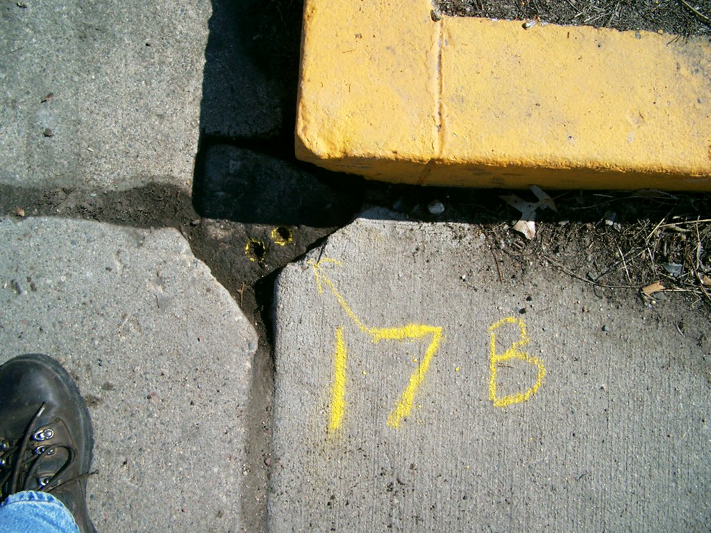
| 7/31/2004 | Found GM at sidewalk grade. Photos taken. Placed ties. See CofL 3747-0017B-A |
| 3/1/1986 | (Unknown date Mar __, 1986 ) Monument set by F J McCurren |
| FILE | SURVEYOR | LIC. NO. | DATE SIGNED | DATE TIED |
|---|---|---|---|---|
| 3747-0017B-C.pdf | Samuel D. Gibson | 44880 | August 31, 2012 | May 26, 2012 |
| 3747-0017B-B.pdf | Samuel D. Gibson | 44880 | August 17, 2012 | July 15, 2011 |
| 3747-0017B-A.tif | Michael P. Murphy | 41001 | January 25, 2005 | July 31, 2004 |
| FILE | PHOTO DATE | COMMENTS |
|---|---|---|
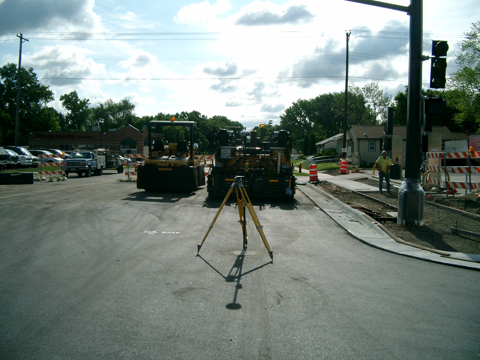
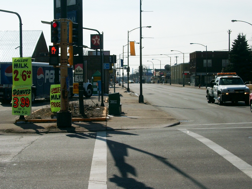
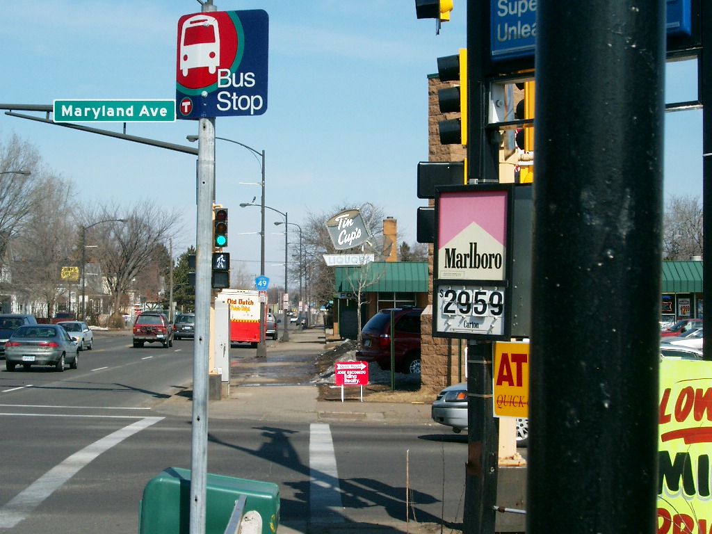
| 3747-0017B-16.jpg | June 1, 2012 | Looking west along Maryland Ave. |
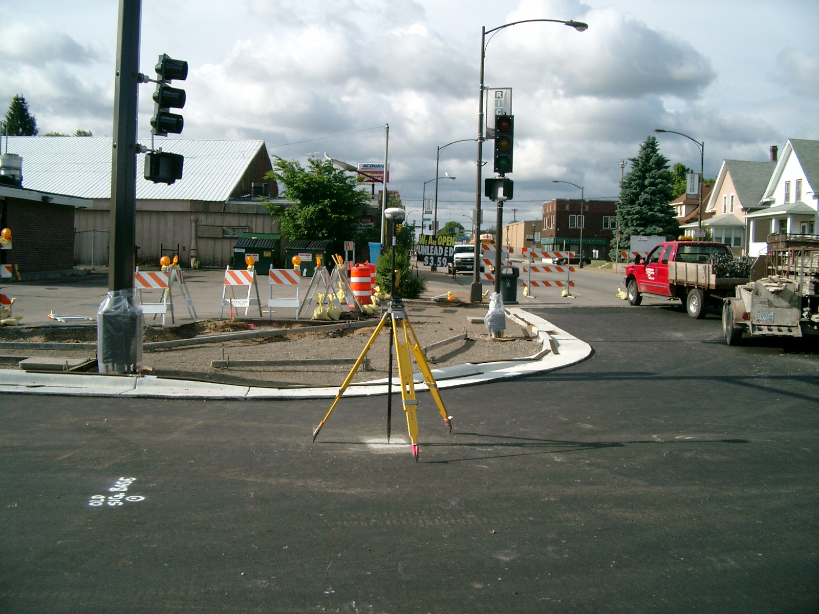
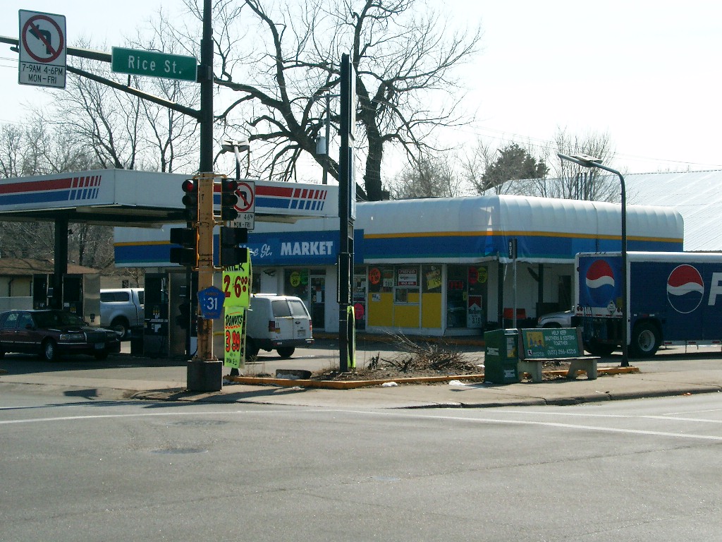
| 3747-0017B-15.jpg | June 1, 2012 | Looking south along Rice St. |
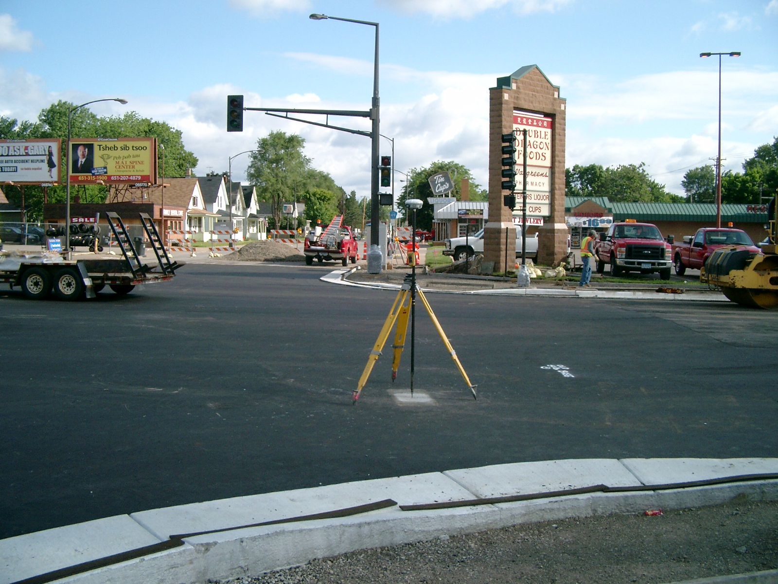
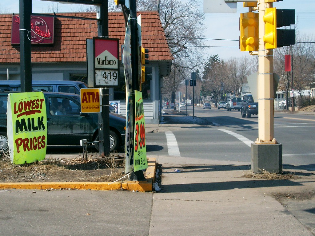
| 3747-0017B-14.jpg | June 1, 2012 | Looking east along Maryland Ave. |
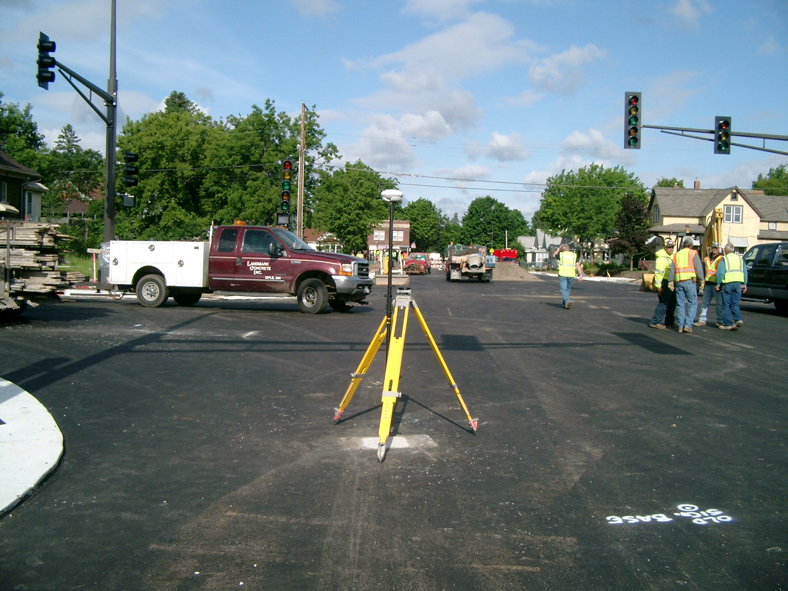
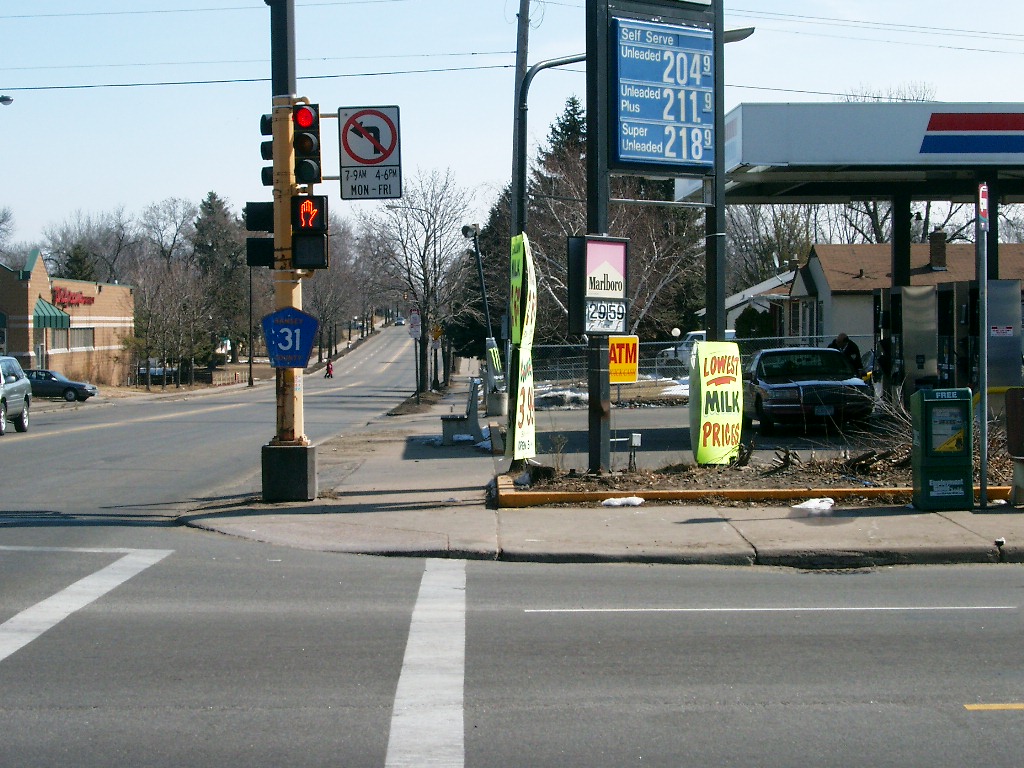
| 3747-0017B-13.jpg | June 1, 2012 | Looking north along Rice St. |
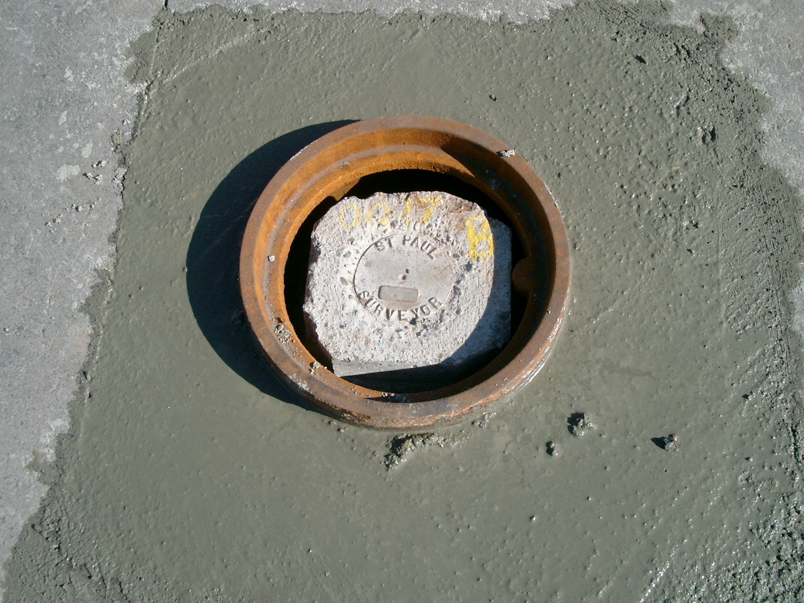
| 3747-0017B-12.jpg | June 1, 2012 | Close up of monument in casting. |
| 3747-0017B-11.jpg | May 26, 2012 | Close up of monument as set. |
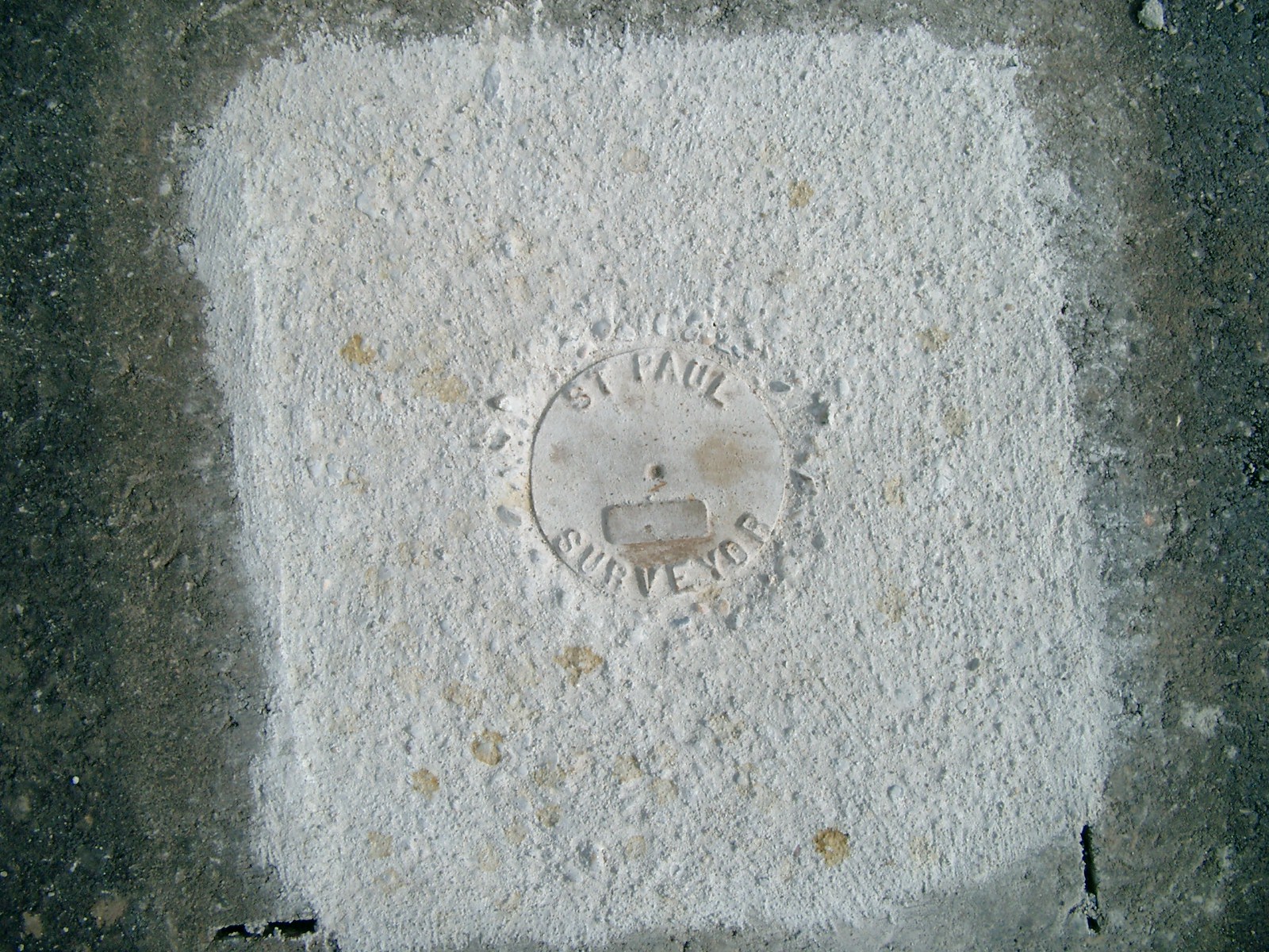
| 3747-0017B-10.jpg | June 17, 2011 | Close up of monument. |
| 3747-0017B-7.jpg | July 31, 2004 | Looking South. |
| 3747-0017B-6.jpg | July 31, 2004 | Looking Southeasterly. |
| 3747-0017B-5.jpg | July 31, 2004 | Looking East. |
| 3747-0017B-4.jpg | July 31, 2004 | Looking West. |
| 3747-0017B-3.jpg | July 31, 2004 | Looking North. |
| 3747-0017B-1.jpg | July 31, 2004 | Close-up of granite monument. |