|
FILE
|
PHOTO DATE
|
COMMENTS
|
|
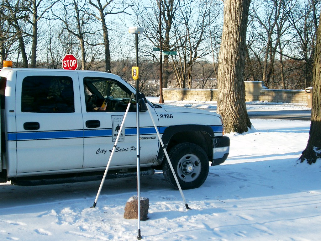
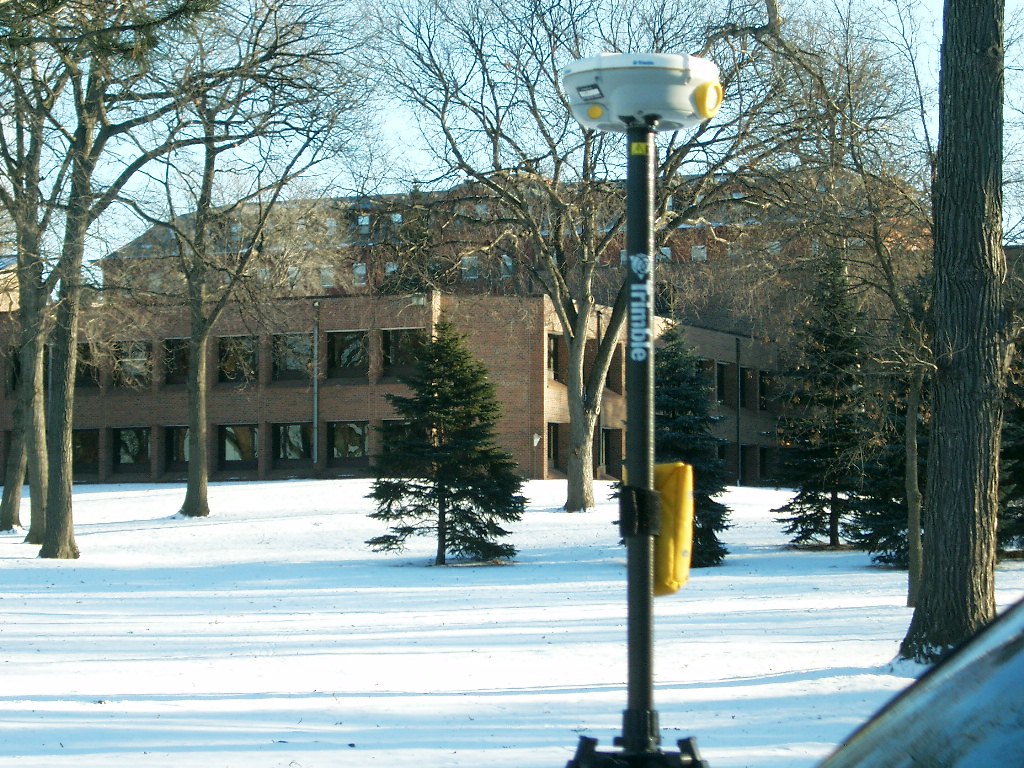
3751-2890-9.jpg
|
October 27, 2009
|
Close-up of GM
|
|
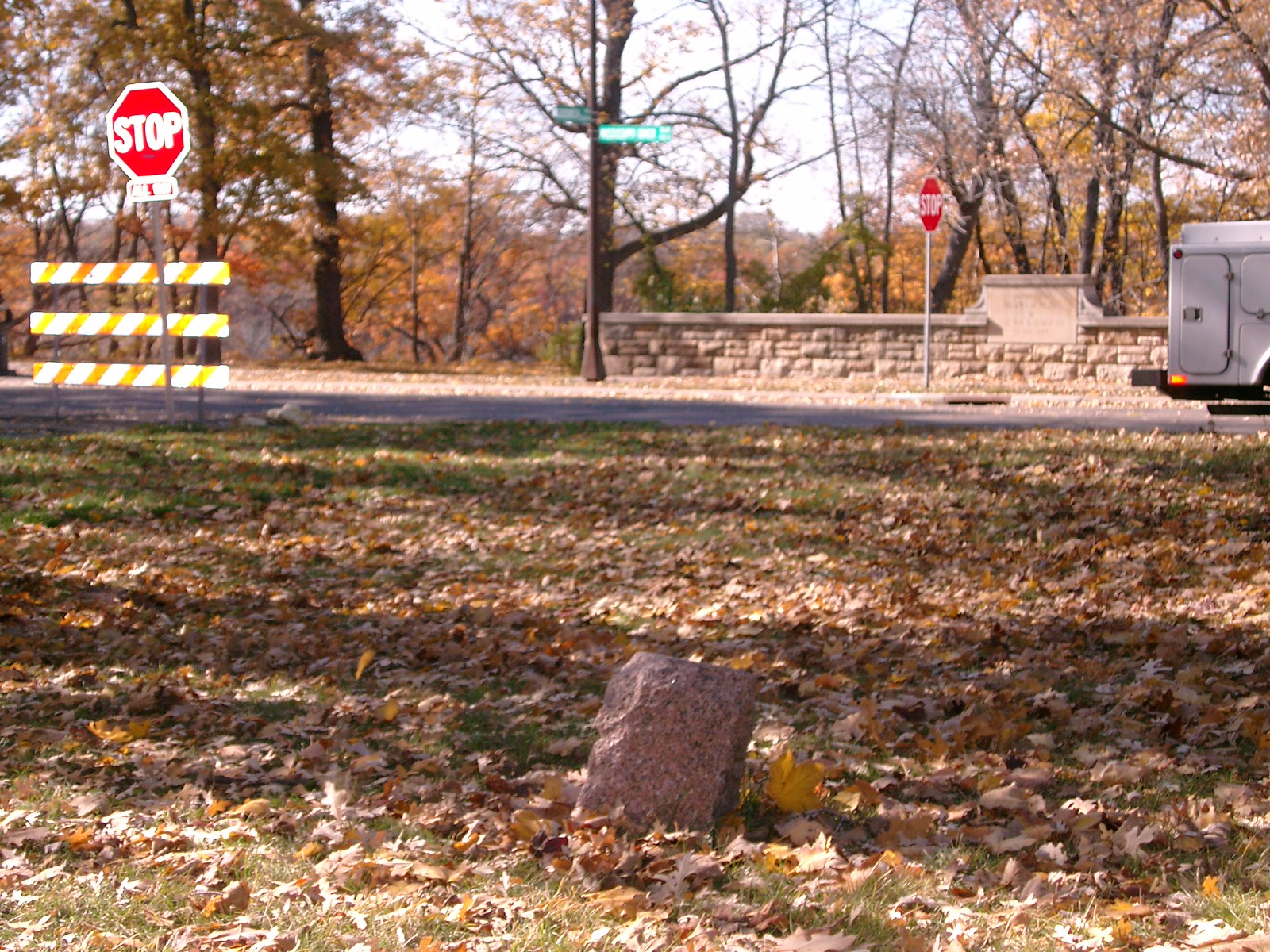
3751-2890-8.jpg
|
October 27, 2009
|
Looking Southerly parallel with Mississippi River Blvd.
|
|
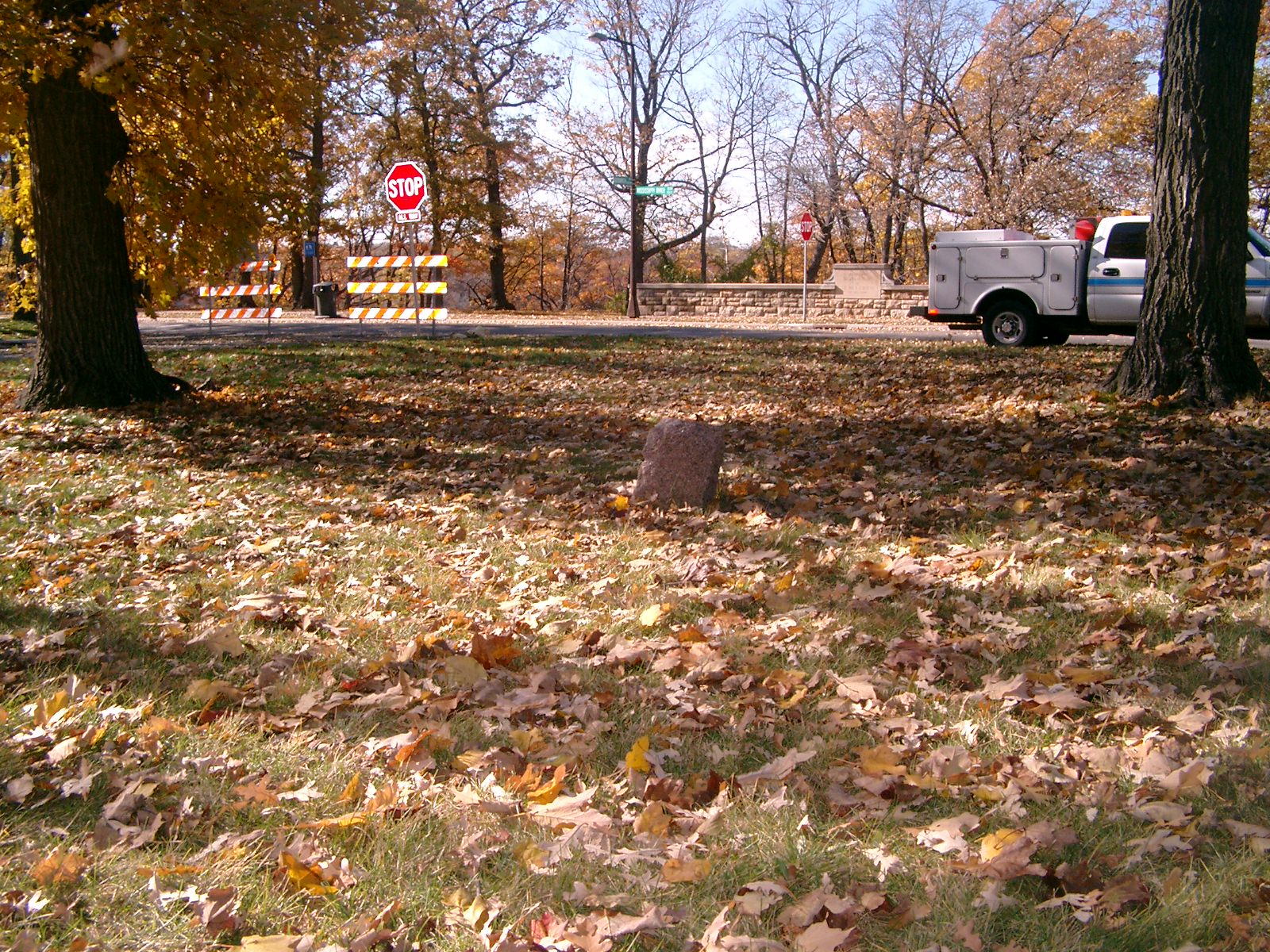
3751-2890-7.jpg
|
October 27, 2009
|
Looking West towards Mississippi River Blvd.
|
|
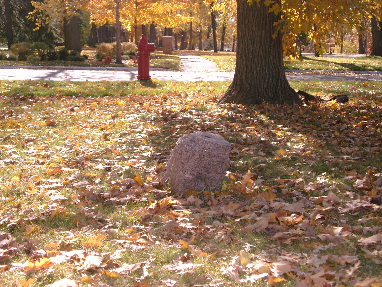
3751-2890-6.jpg
|
October 27, 2009
|
Looking West towards Mississippi River Blvd.
|
|
3751-2890-10.jpg
|
October 27, 2009
|
Close-up of GM
|
|
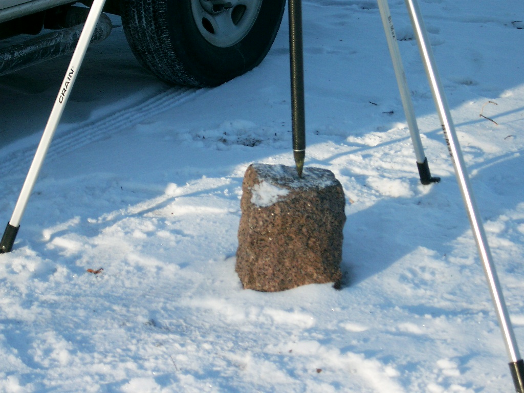
3751-2890-4.jpg
|
January 13, 2005
|
Looking Northwesterly from the Northeast corner of Mississippi River Blvd. and Goodrich Ave.
|
|
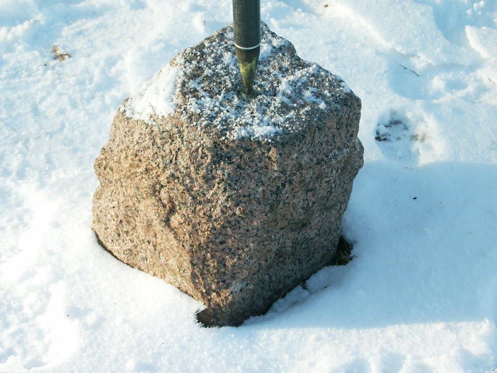
3751-2890-3.jpg
|
January 13, 2005
|
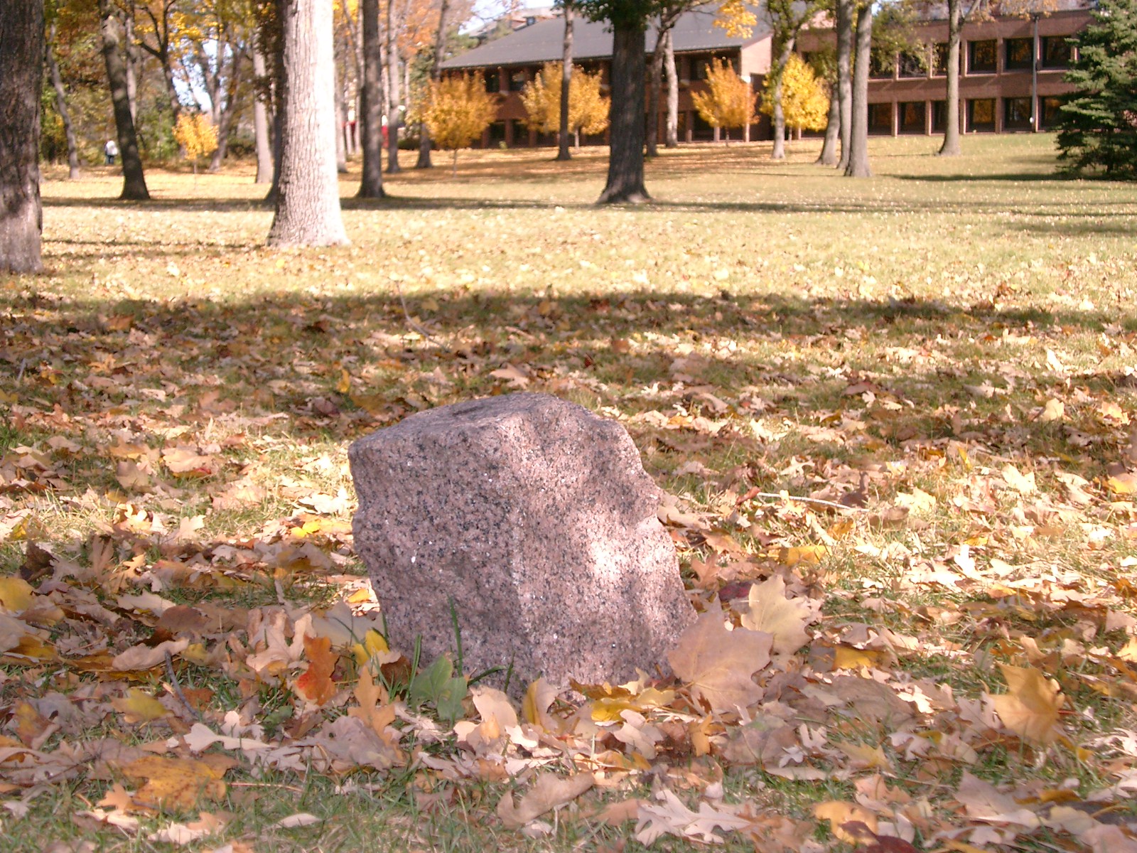
Close-up of the granite monument with the top approximately one foot above ground level.
|
|
3751-2890-2.jpg
|
January 13, 2005
|
Close-up of the granite monument with the top approximately one foot above ground level.
|
|
3751-2890-1.jpg
|
January 13, 2005
|
Looking Northeast from the Northeast corner of Mississippi River Blvd. and Goodrich Ave.
|