|
FILE
|
PHOTO DATE
|
COMMENTS
|
|
3758-1471A-17.jpg
|
October 6, 2006
|
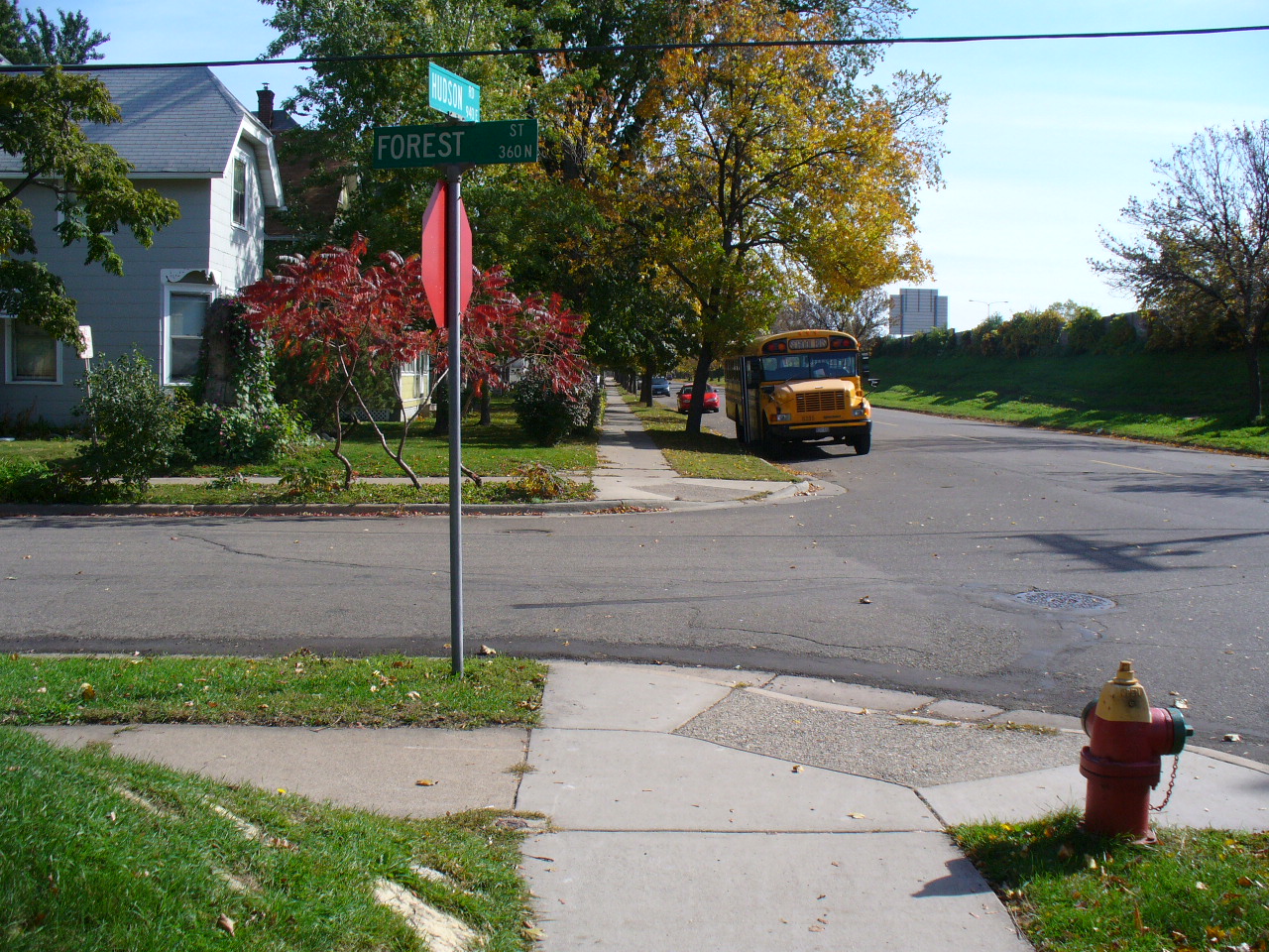
Looking East along the North side of Hudson Rd.
|
|
3758-1471A-16.jpg
|
October 6, 2006
|
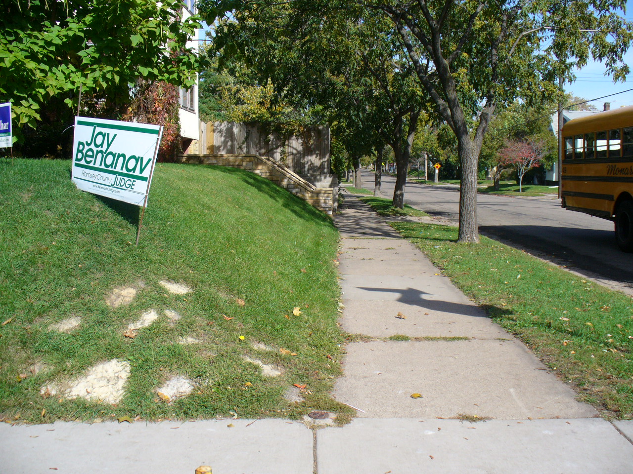
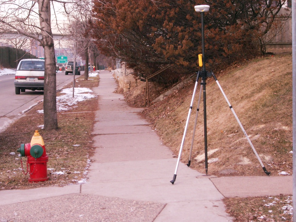
Looking North along the West side of Forest St.
|
|
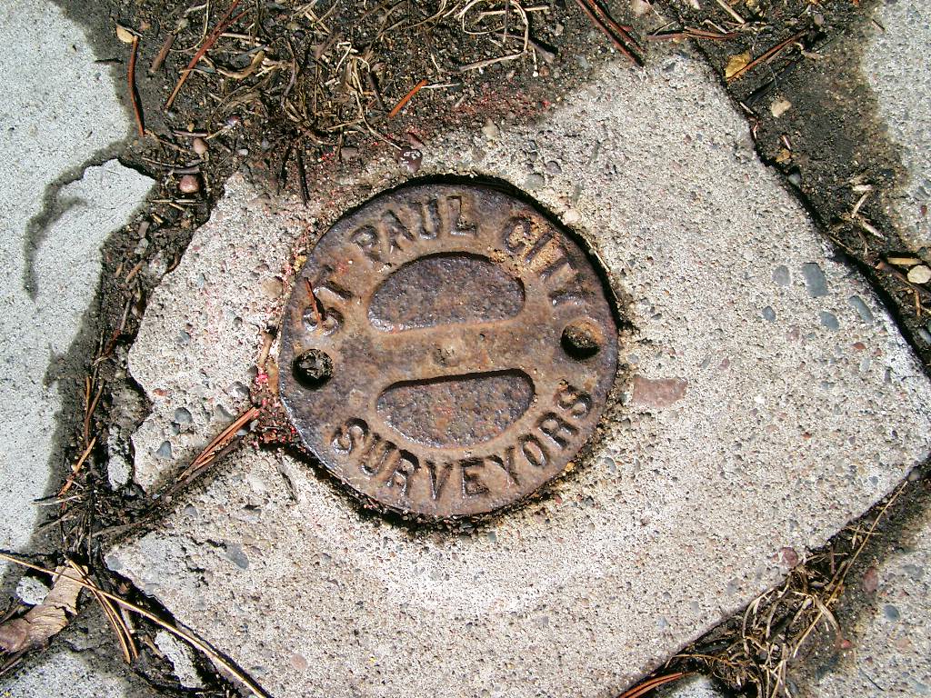
3758-1471A-15.jpg
|
October 6, 2006
|
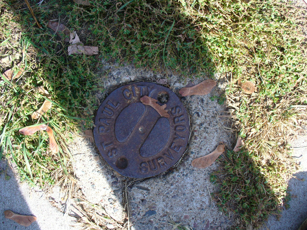
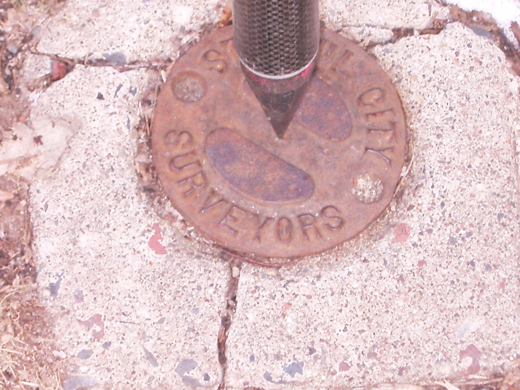
Close up of Cast Iron monument.
|
|
3758-1471A-14.jpg
|
October 6, 2006
|
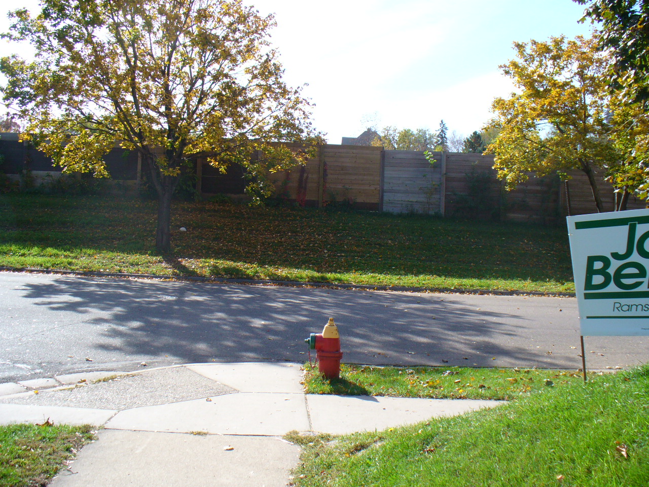
Looking West along the North side of Hudson Rd.
|
|
3758-1471A-13.jpg
|
October 6, 2006
|
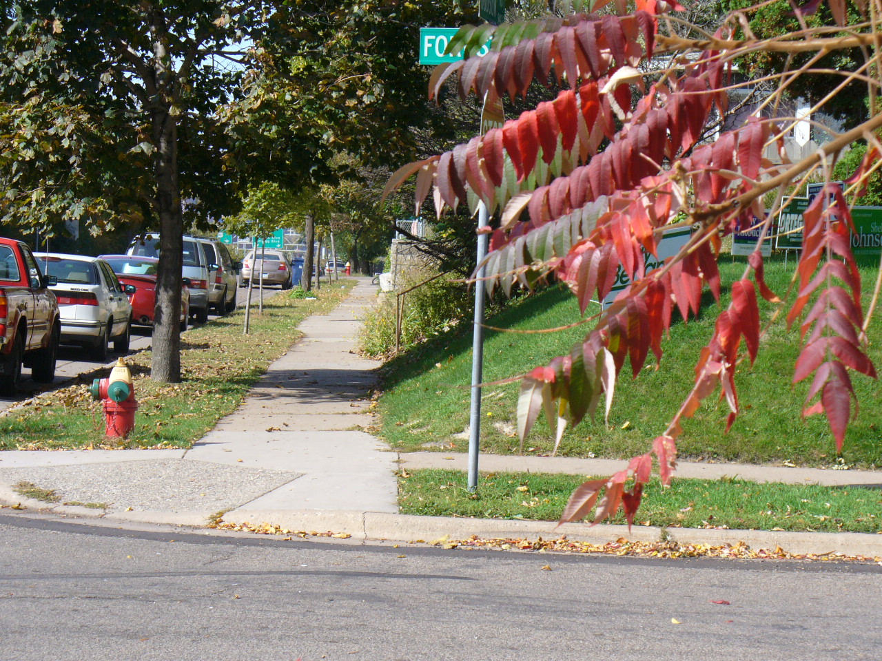
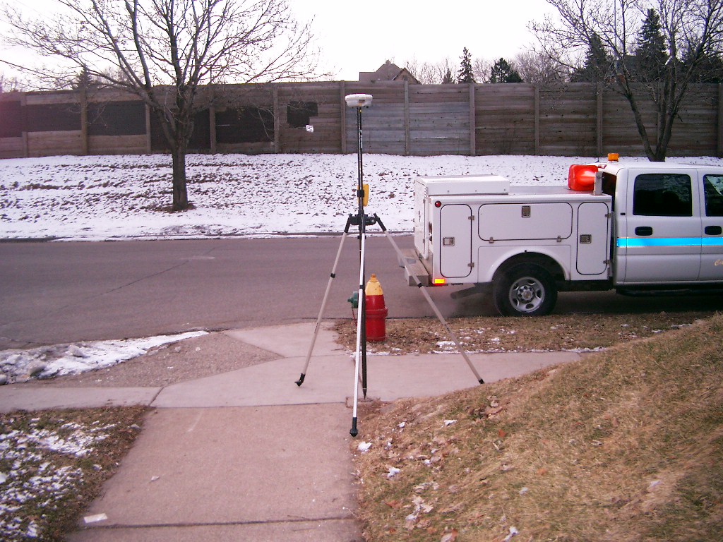
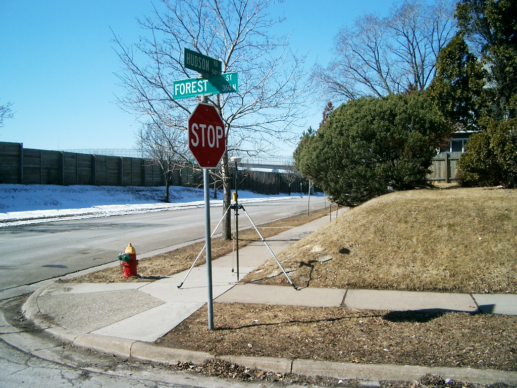
Looking South along the West side of Forest St.
|
|
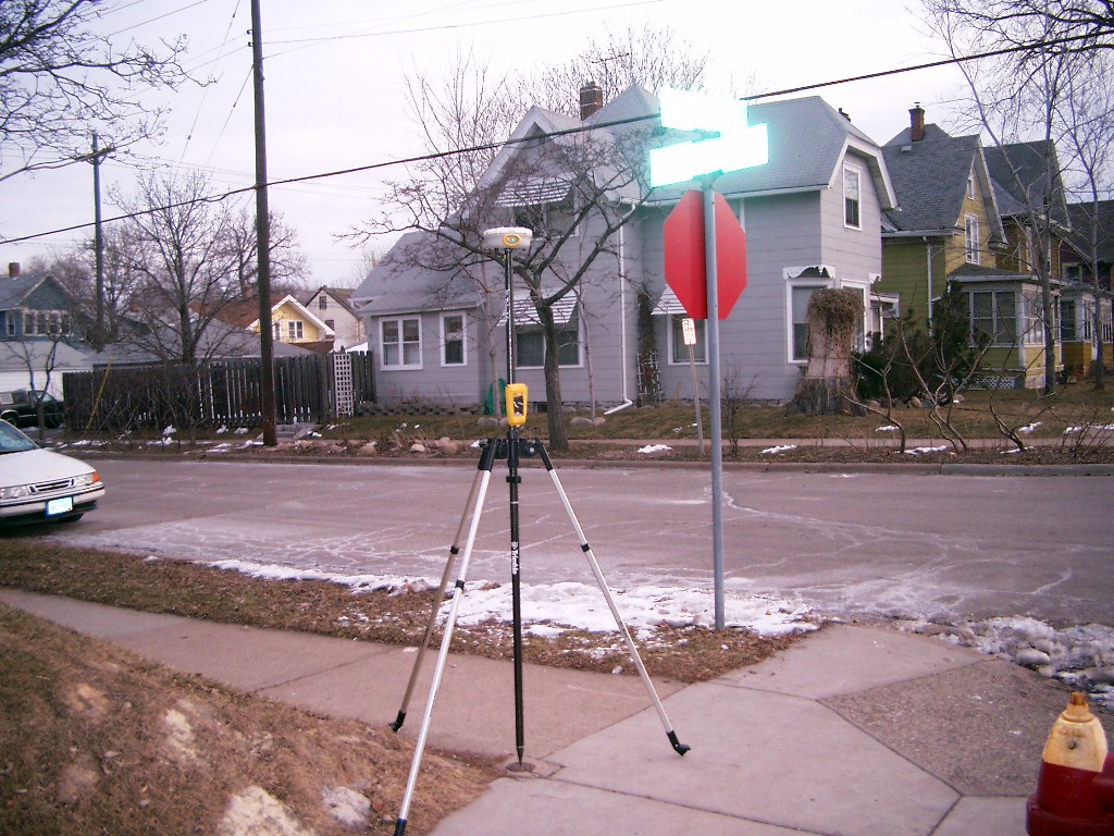
3758-1471A-9.jpg
|
February 7, 2006
|
Looking South along the West side of Forest St.
|
|
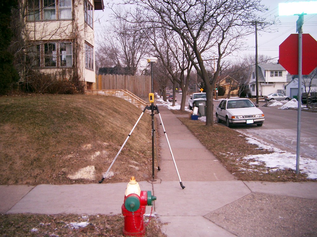
3758-1471A-8.jpg
|
February 7, 2006
|
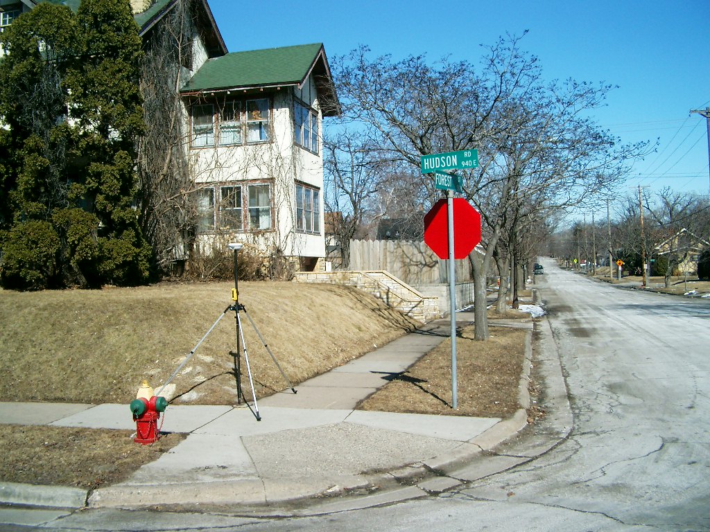
Looking West along the North side of Hudson Rd.
|
|
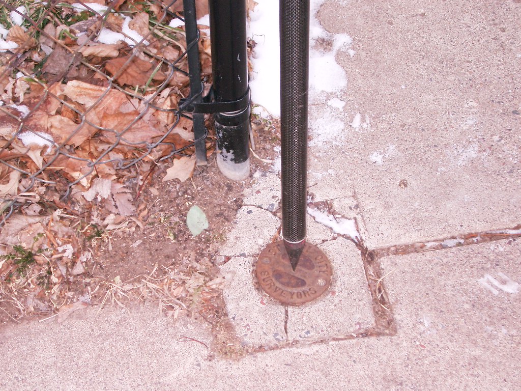
3758-1471A-6.jpg
|
February 7, 2006
|
Close up of Cast Iron monument.
|
|
3758-1471A-5.jpg
|
February 7, 2006
|
Close up of Cast Iron monument.
|
|
3758-1471A-4.jpg
|
February 7, 2006
|
Looking Northeasterly.
|
|
3758-1471A-11.jpg
|
February 7, 2006
|
Looking North along the West side of Forest St.
|
|
3758-1471A-10.jpg
|
February 7, 2006
|
Looking East along the North side of Hudson Rd.
|
|
3758-1471A-3.jpg
|
March 17, 2005
|
Close up of Cast Iron monument.
|
|
3758-1471A-2.jpg
|
March 17, 2005
|
Looking Northwesterly.
|
|
3758-1471A-1.jpg
|
March 17, 2005
|
Looking Southwesterly.
|