| NAD83 COORDINATES (1986 adj.): |
|---|
| X= 582394.279 Y= 149109.601 Z= 000.00 LSQ 06/22/2005 FLT |
| 6/29/2005 | Placed magnet in hole of GM. |
| 6/23/2005 | Photos taken. |
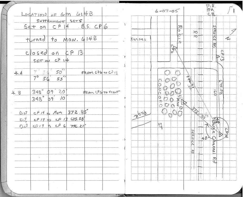
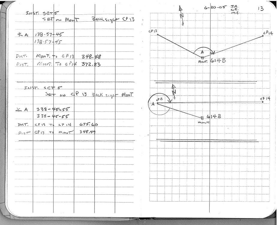
| 6/7/2005 | Position on GM established by RTK-VRS GPS base line with total station measurements. See FB 1739 p.1,13 |
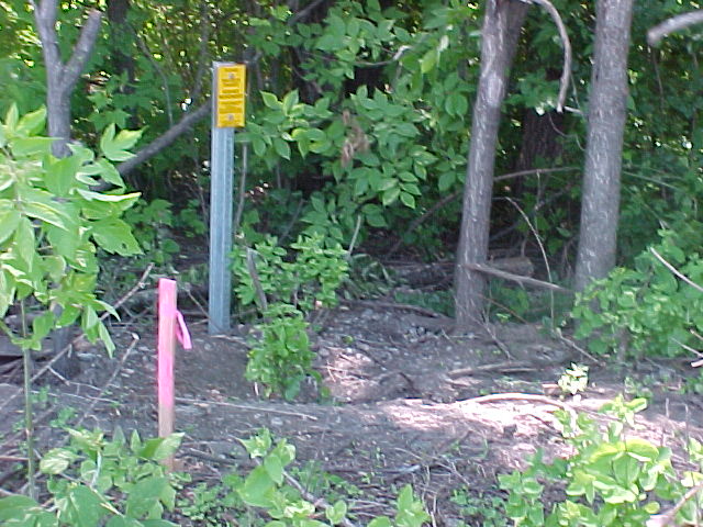
| 6/1/2005 | Placed guard post and sign. |
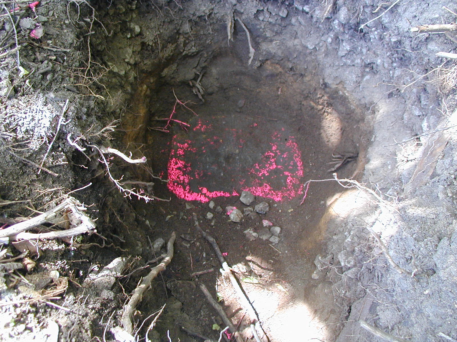
| 5/26/2005 | Found 9" x 13" GM with a 1" deep hole at elevation 11.24 ft. Photos taken. |
| 10/26/2004 | Searched for Monument, dug down 1.0 ft and probed 3.0 ft deeper. Unable to find monument. |
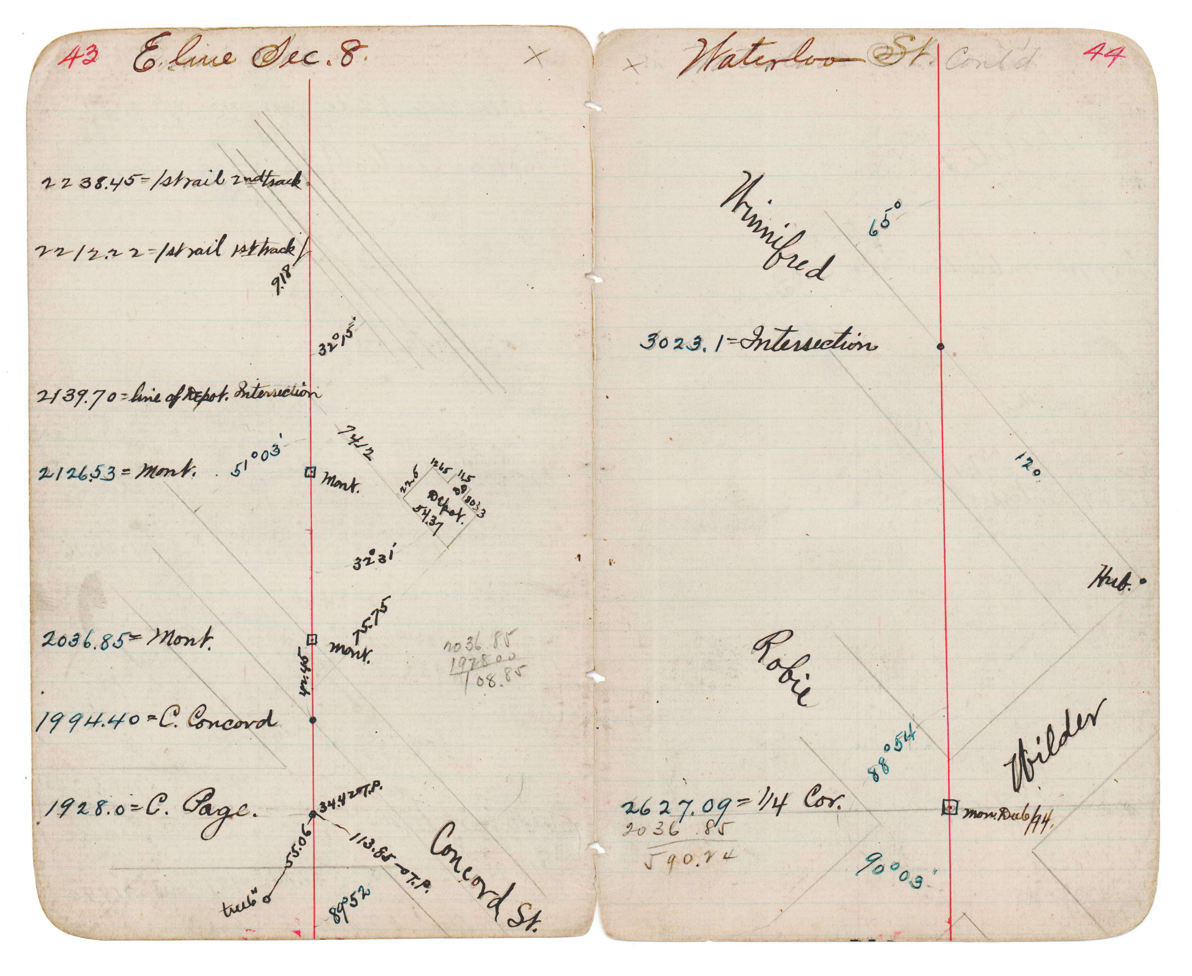
| 1/1/1980 | (Unknown date abt __, 198? ) See JBI 18 p.43-44 |
Above is NOT an all inclusive history of this point. Please review all the links below.
| PLS NOTES | Field | Cross Section | Sewer | J.B. Irvine | Monument | River Survey |
|---|---|---|---|---|---|---|
| FB 1739p. 01 ,13 | JBI 18 p.43-44 |
| FILE | PHOTO DATE | COMMENTS |
|---|---|---|
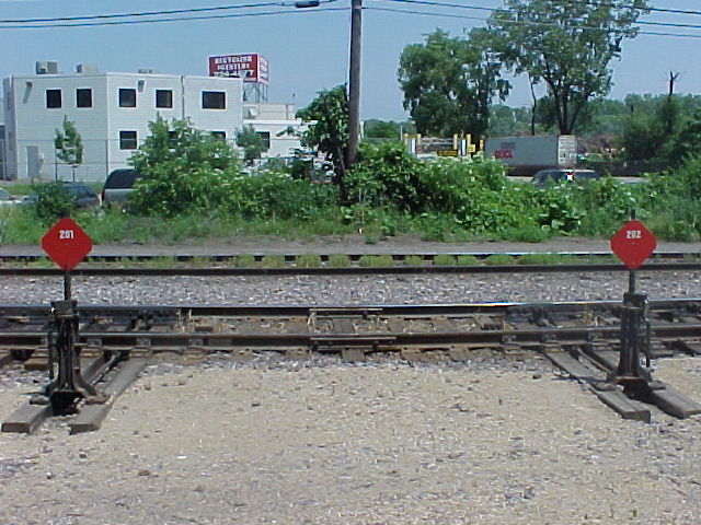
| 3783-0614B-6.jpg | June 23, 2005 | Looking Westerly. |
| 3783-0614B-5.jpg | June 23, 2005 | Looking Northeasterly. |
| 3783-0614B-3.jpg | June 23, 2005 | Looking Southeasterly. |
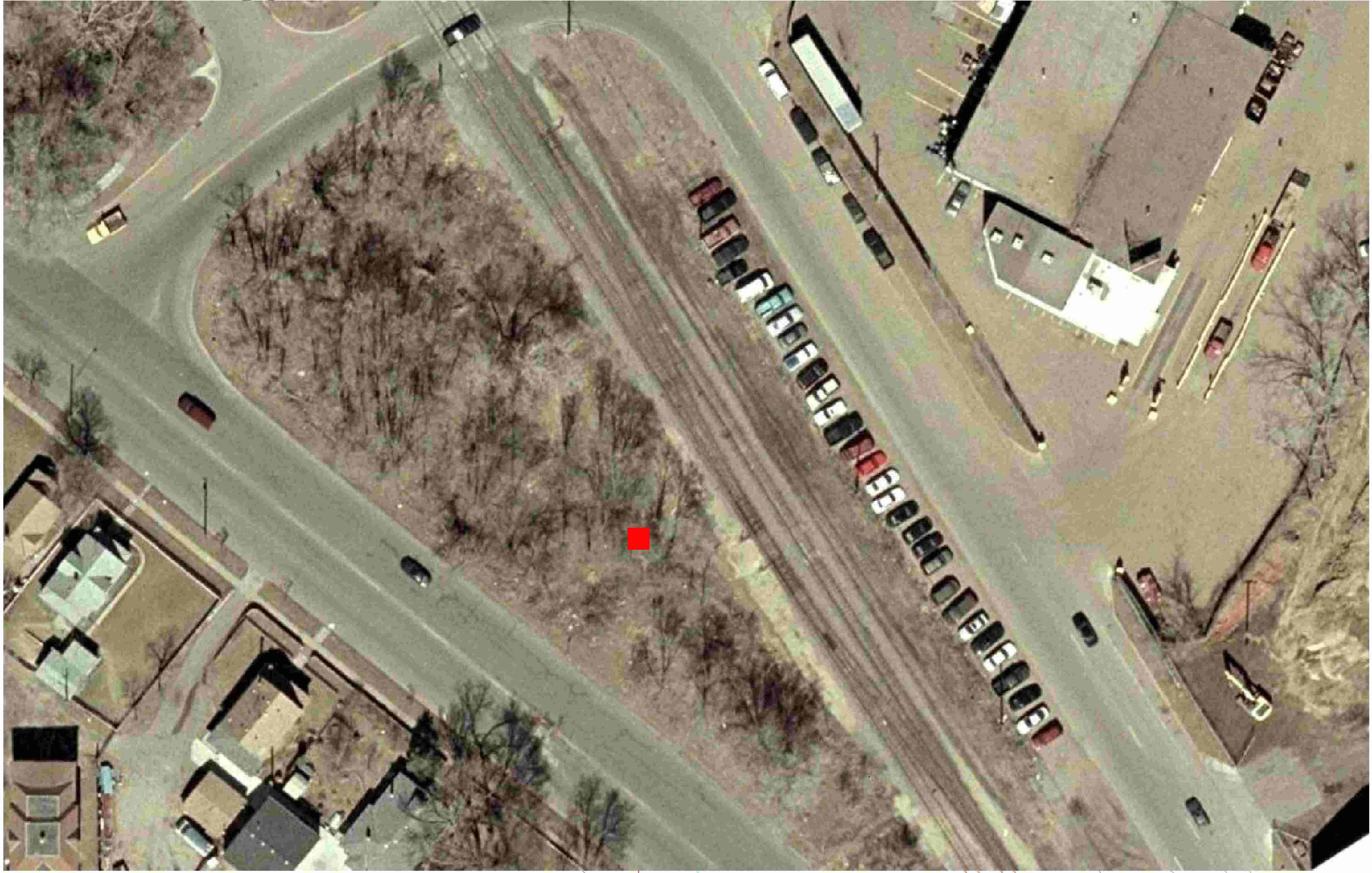
| 3783-0614B-2.jpg | June 23, 2005 | Areal view of the monument location. |
| 3783-0614B-1.jpg | June 23, 2005 | Close-up of the GM. |