| NAD83 COORDINATES (1986 adj.): |
|---|
| X= 579141.165 Y= 150722.361 Z= 057.85 TOT 06/23/2005 STB |
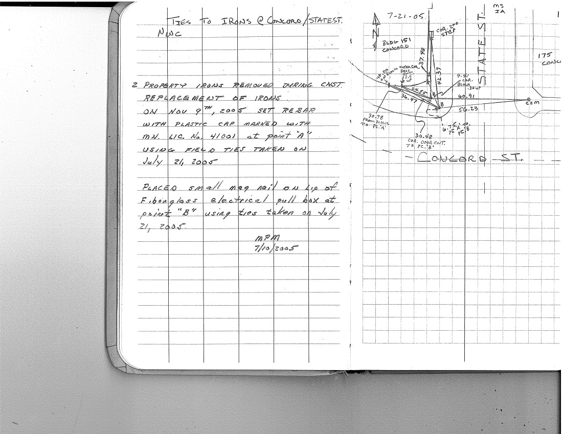
| 7/21/2005 | Placed ties on CIM at sidewalk grade. See FB 1739 p.17 |
| 6/23/2005 | Fd CIM marked "ST PAUL CITY SURVEYOR" at sidewalk grade. Photos taken. Coordinates established by single stub. See |
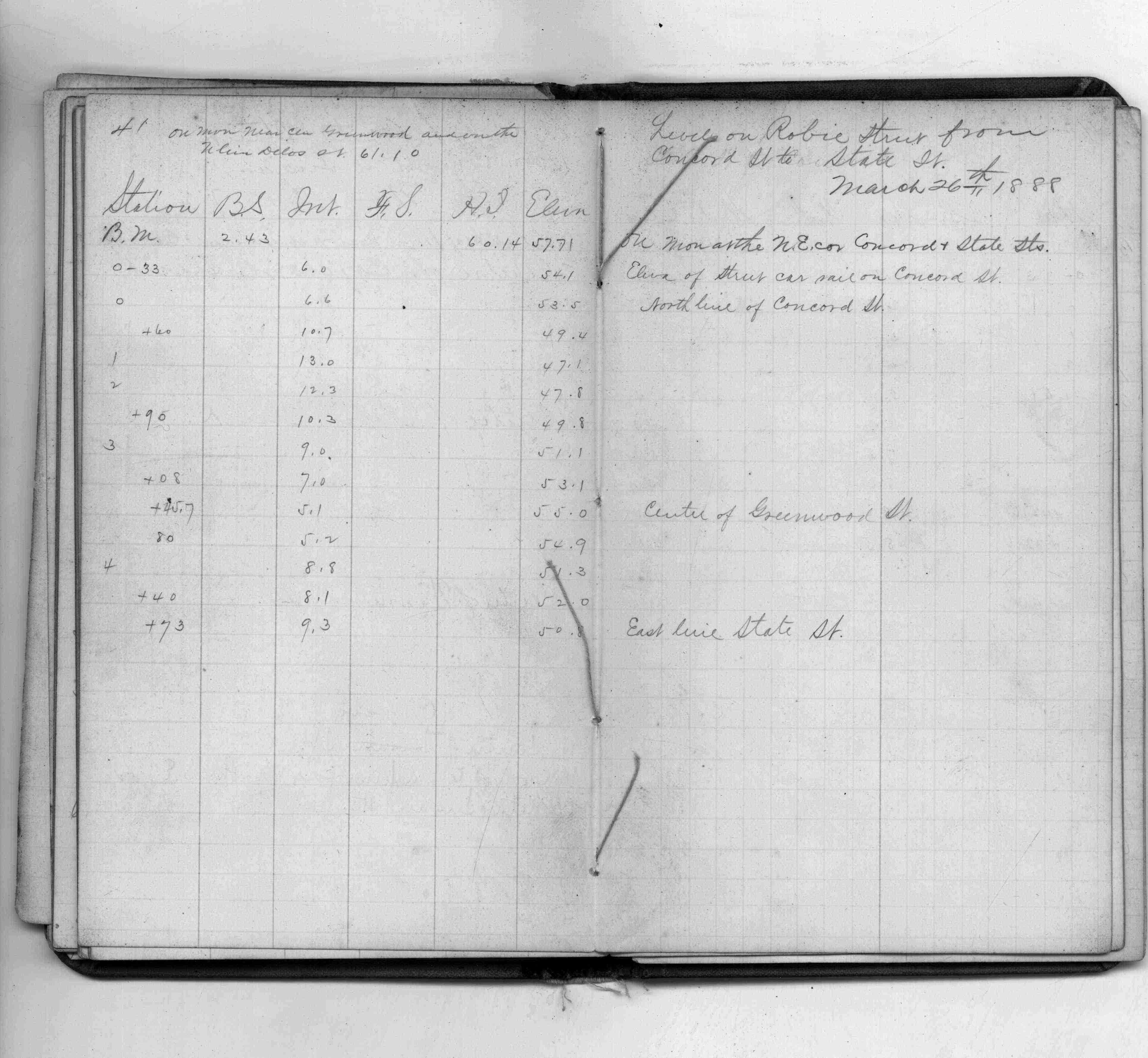
| 3/26/1988 | Elev 57.71 feet on monument. See FB 146 p.41 |
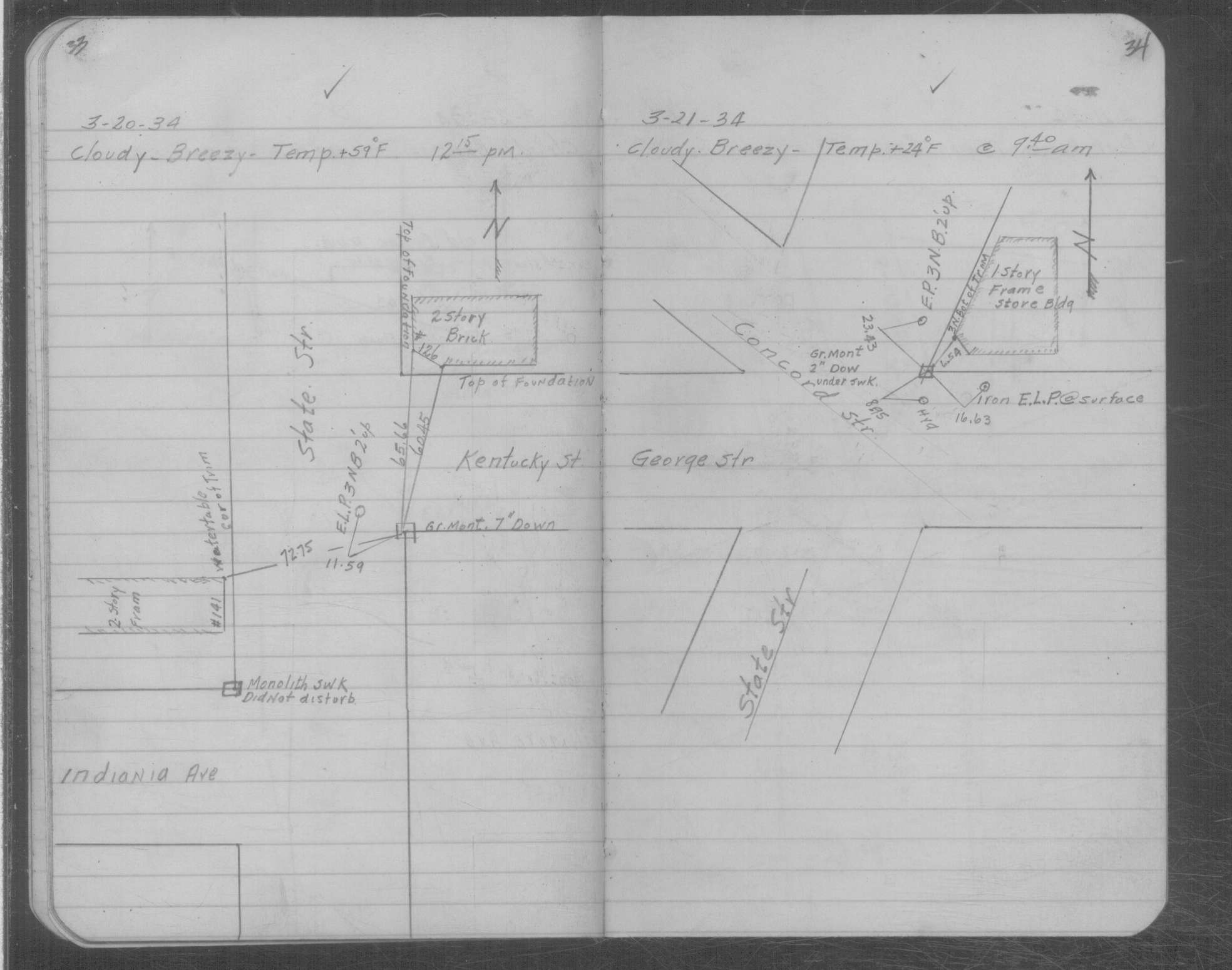
| 3/21/1934 | Placed ties on GM two inches under sidewalk. See MSX 2 p.33-34 |
| 2/1/1889 | (Unknown date Feb __, 1889 ) Monument not disturbed after grading - G Saulez |
Above is NOT an all inclusive history of this point. Please review all the links below.
| PLS NOTES | Field | Cross Section | Sewer | J.B. Irvine | Monument | River Survey |
|---|---|---|---|---|---|---|
| FB 0146p.41 | MSX 0002 p.033-034 | |||||
| FB 1739p.17 |
| FILE | PHOTO DATE | COMMENTS |
|---|---|---|
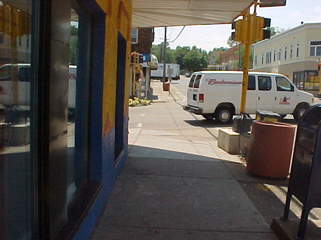
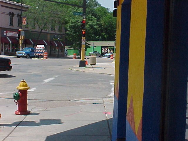
| 3784-0502A-4.jpg | June 23, 2005 | Looking Southwesterly along State St. |
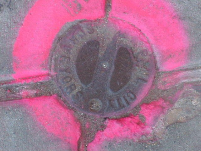
| 3784-0502A-3.jpg | June 23, 2005 | Close-up of CIM. |
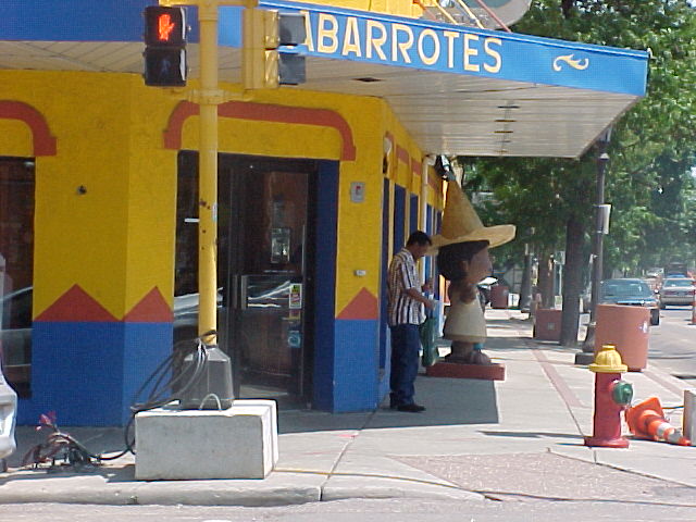
| 3784-0502A-2.jpg | June 23, 2005 | Looking Southeasterly along Concord St. |
| 3784-0502A-1.jpg | June 23, 2005 | Looking Northwesterly along Concord St. |