| NAD83 COORDINATES (1986 adj.): |
|---|
| X= 574399.753 Y= 150260.423 Z= 888.4 06/28/2005 RTK-VRS |
| 7/12/2006 | Set CIM to grade. Placed ties. See CofL 3787-2002-B |
| 7/12/2006 | Photos taken. |
| 6/28/2005 | Position established by GPS. |
| 6/23/2005 | Photos taken of GM. |
| 6/2/2005 | Fd GM 0.75 ft below grade. Placed ties. See CofL 3787-2002-A |
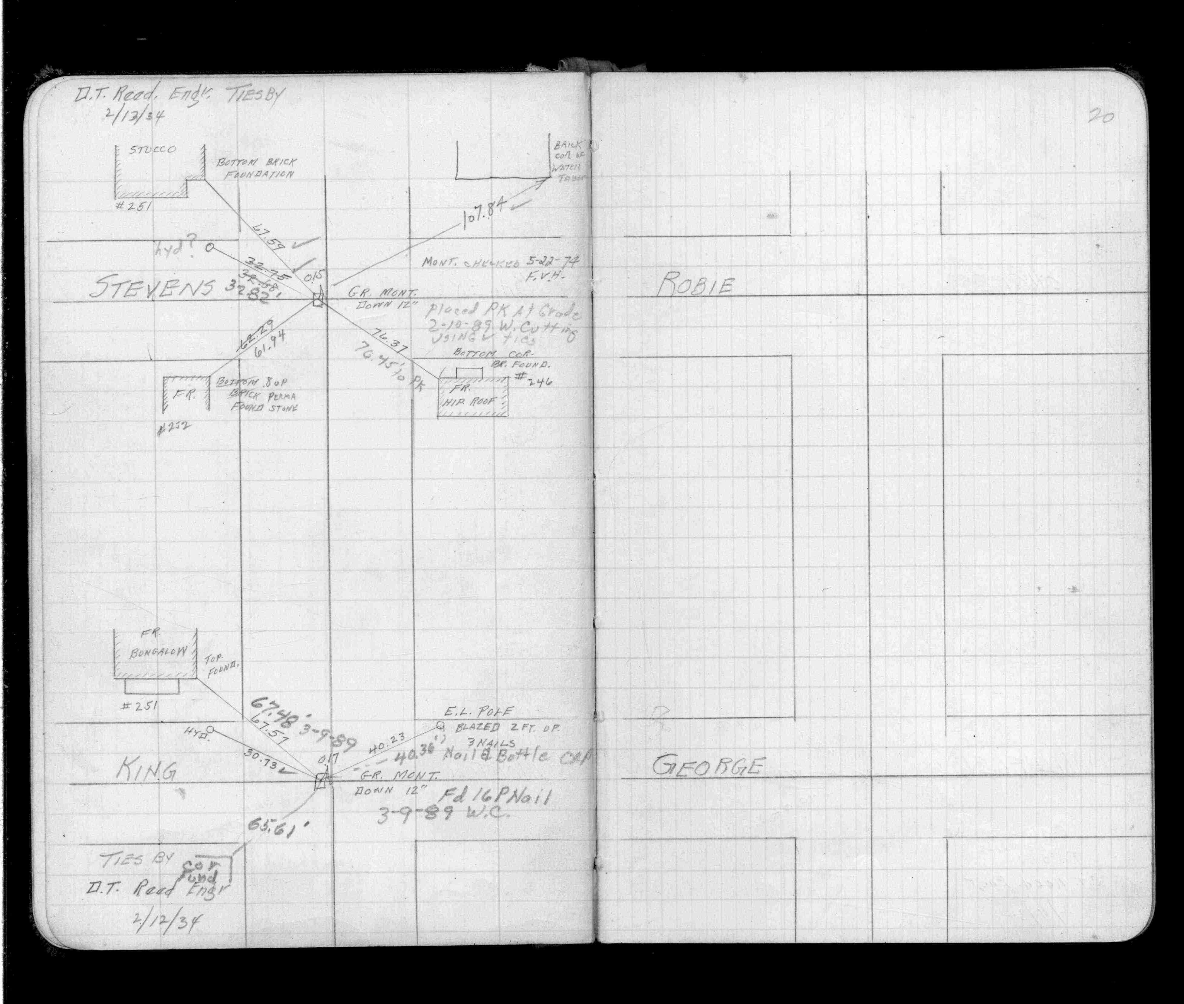
| 2/10/1989 | Updated ties. See FB 1504 p.20 |
| 5/22/1974 | Monument checked. See FB 1504 p.20 |
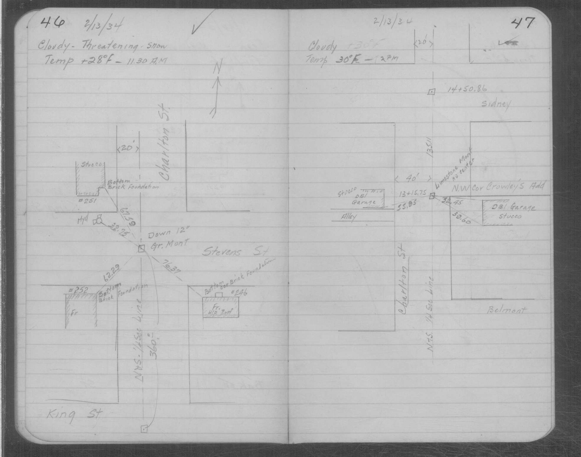
| 2/13/1934 | Placed ties on GM twelve inches below grade. See MSX 1 p.46-47 |
| 2/13/1934 | GM down 12" below grade. Placed ties. See FB 1504 p.20 |
| 11/3/1890 | Monument set by J H Armstrong |
Above is NOT an all inclusive history of this point. Please review all the links below.
| PLS NOTES | Field | Cross Section | Sewer | J.B. Irvine | Monument | River Survey |
|---|---|---|---|---|---|---|
| FB 1504p.20 | MSX 0001 p.046-047 |
| FILE | SURVEYOR | LIC. NO. | DATE SIGNED | DATE TIED |
|---|---|---|---|---|
| 3787-2002-B.tif | Michael P. Murphy | 41001 | July 19, 2006 | July 12, 2006 |
| 3787-2002-A.tif | Michael P. Murphy | 41001 | July 1, 2005 | June 21, 2005 |
| FILE | PHOTO DATE | COMMENTS |
|---|---|---|
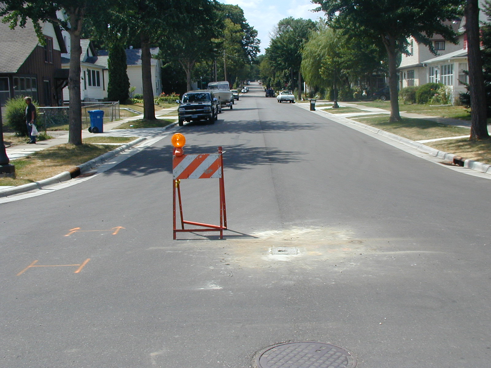
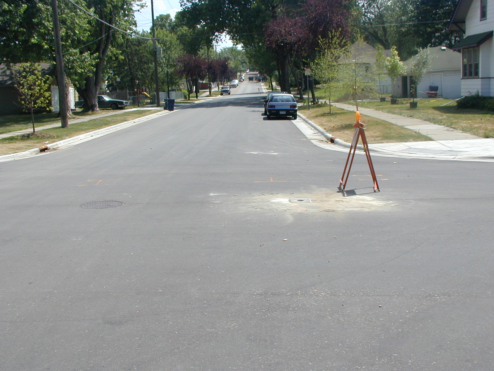
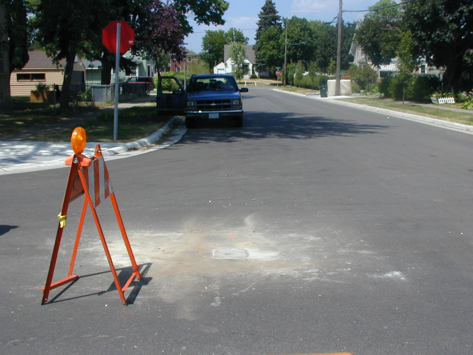
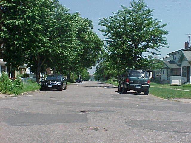
| 3787-2002-14.jpg | July 12, 2006 | Looking West along Stevens St. |
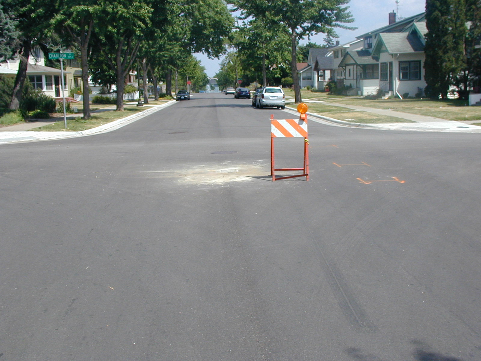
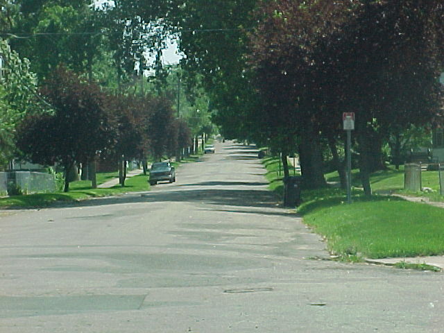
| 3787-2002-13.jpg | July 12, 2006 | Looking South along Charlton St. |
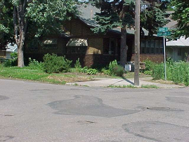
| 3787-2002-12.jpg | July 12, 2006 | Looking East along Stevens St. |
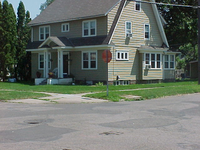
| 3787-2002-11.jpg | July 12, 2006 | Looking North along Charlton St. |
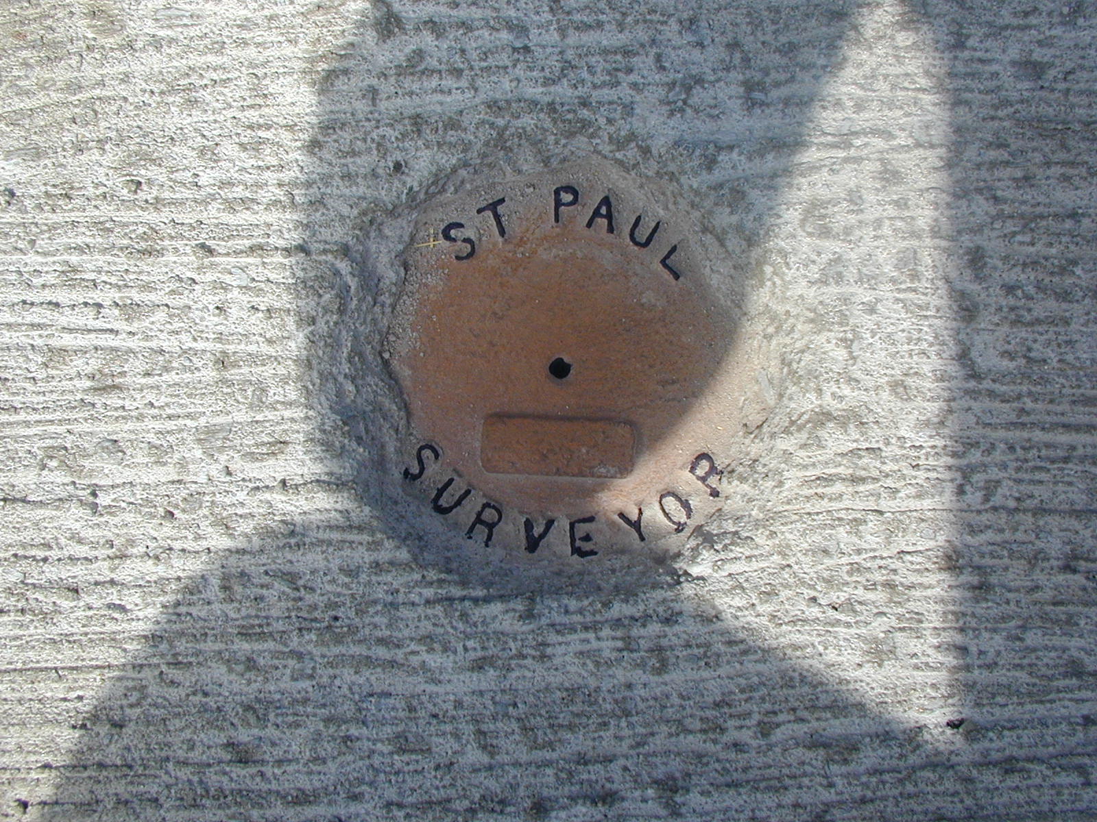
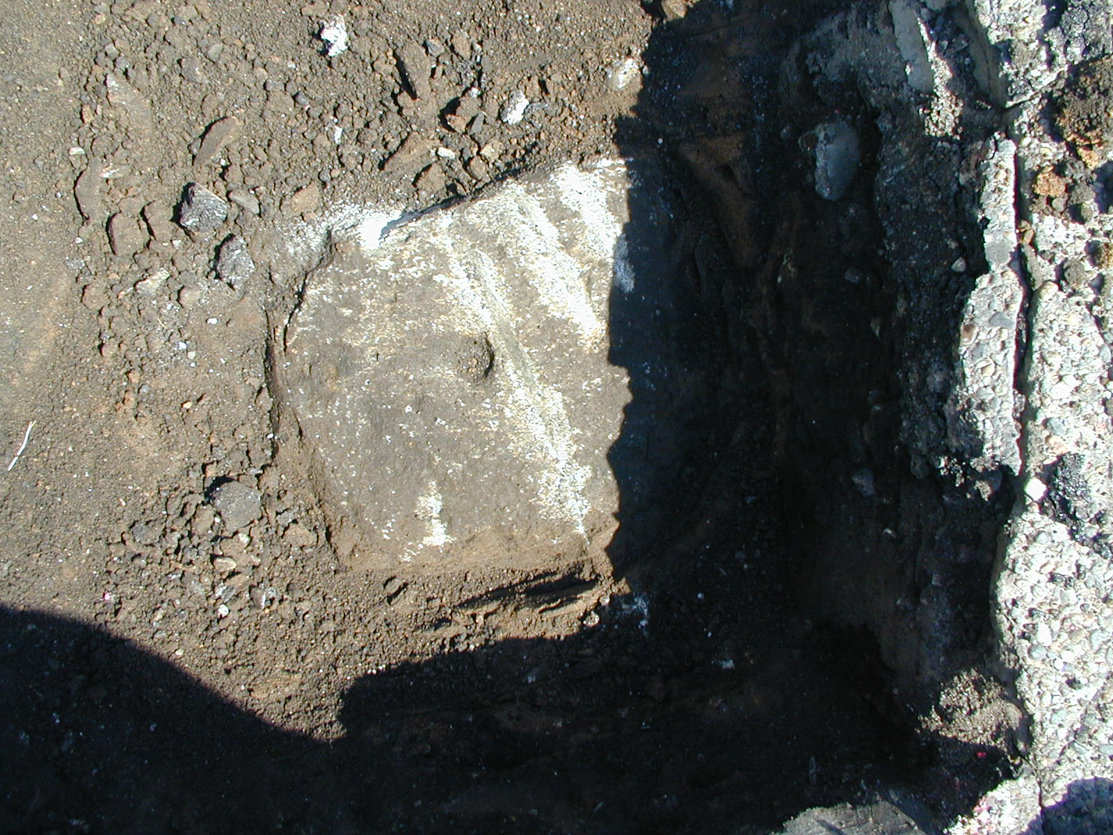
| 3787-2002-10.jpg | July 12, 2006 | Close up of monument. |
| 3787-2002-9.jpg | June 23, 2005 | Looking Northwesterly. |
| 3787-2002-8.jpg | June 23, 2005 | Looking Northeasterly. |
| 3787-2002-7.jpg | June 23, 2005 | Looking Southeasterly. |
| 3787-2002-6.jpg | June 23, 2005 | Looking Southwesterly. |
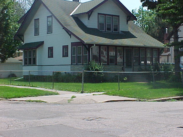
| 3787-2002-4.jpg | June 23, 2005 | Looking South. |
| 3787-2002-3.jpg | June 23, 2005 | Looking East. |
| 3787-2002-1.jpg | June 23, 2005 | Close up of monument. |