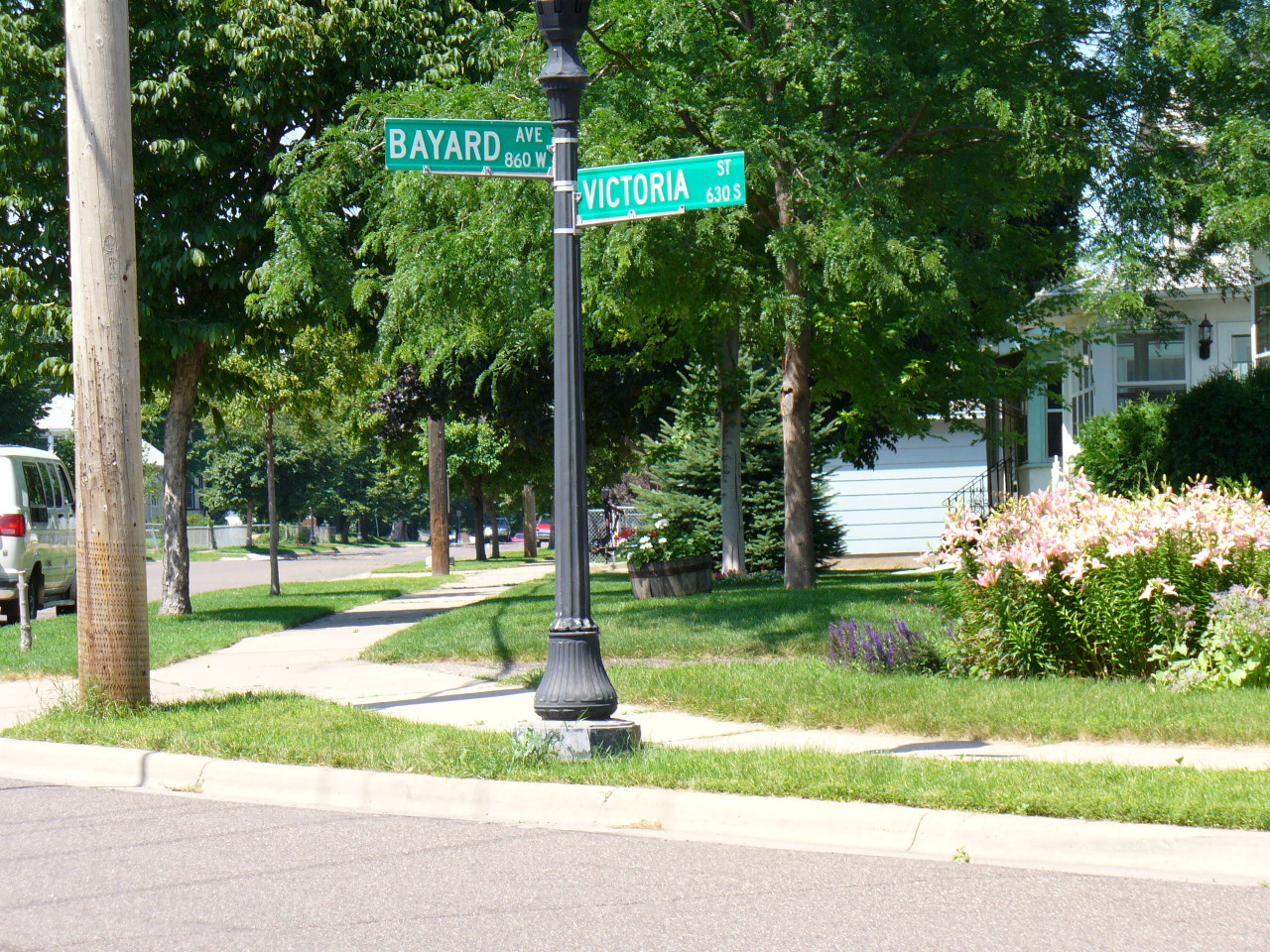
| NAD83 COORDINATES (1986 adj.): |
|---|
| X= 563992.303 Y= 147989.409 Z= 794.0 07/01/2005 RTK-VRS |
| 7/5/2005 | Fd GM 0.4 below sidewalk. Photos taken. |
| 7/1/2005 | Fd GM 0.4 below sidewalk, placed magnet. Position established by GPS RTK-VRS |
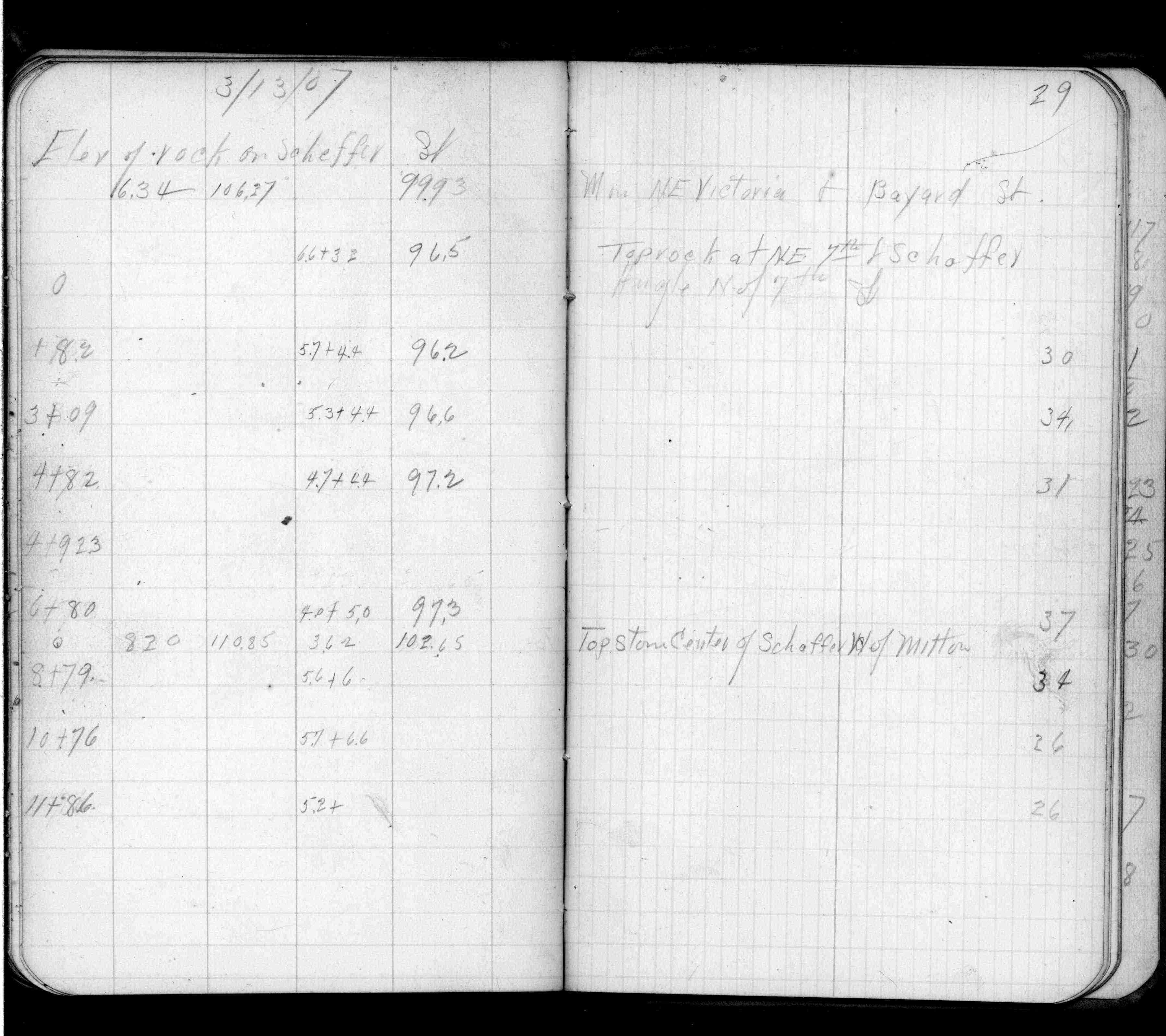
| 3/13/1907 | Elev on GM 99.93 ft. See FB0553 p.29 |
| 3/1/1890 | (Unknown date Mar __, 1890 ) Monument not disturbed - Chas Hunt |
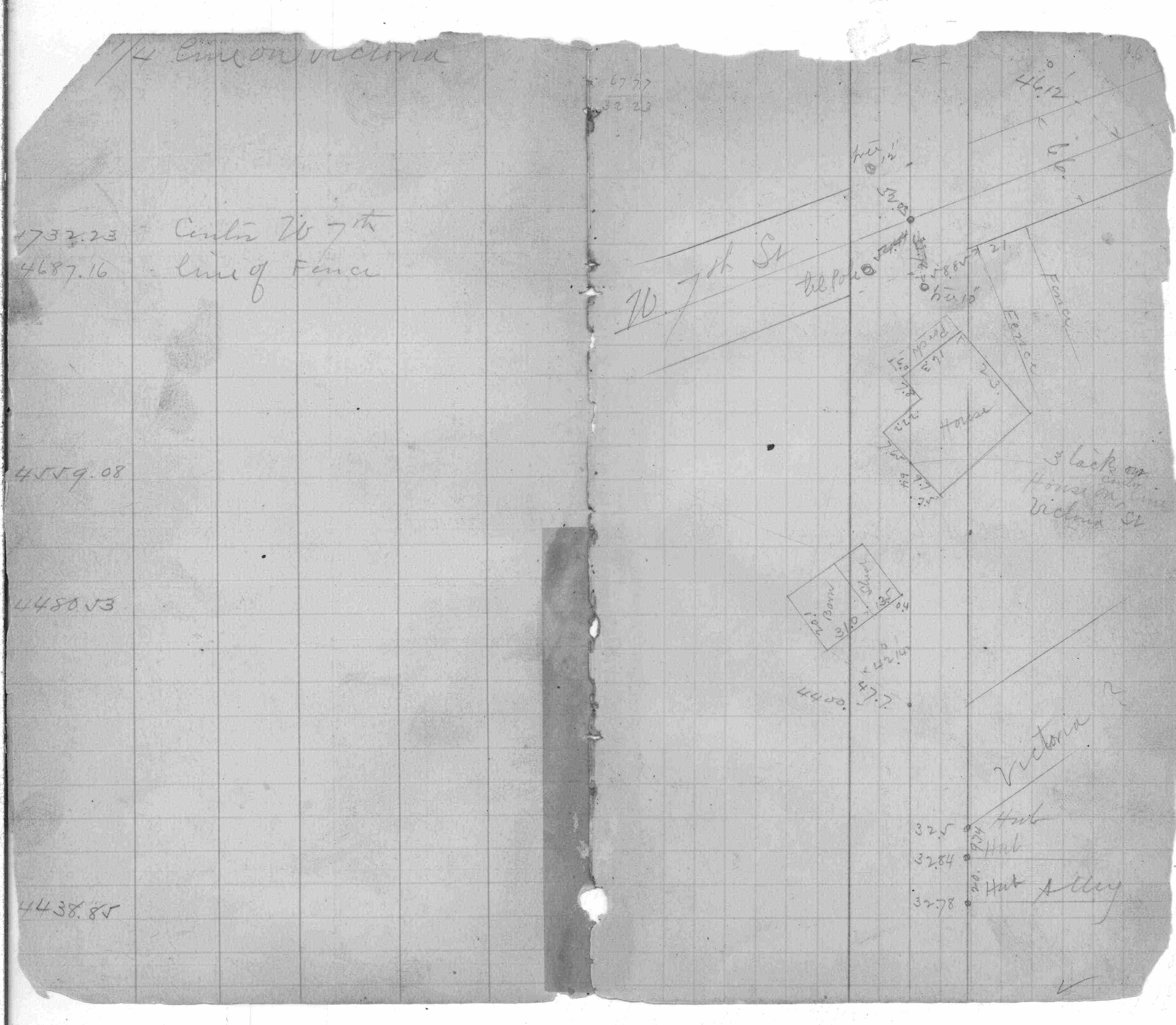
| 8/7/1888 | Monument set by J H Armstrong. See FB 258 p.16 |
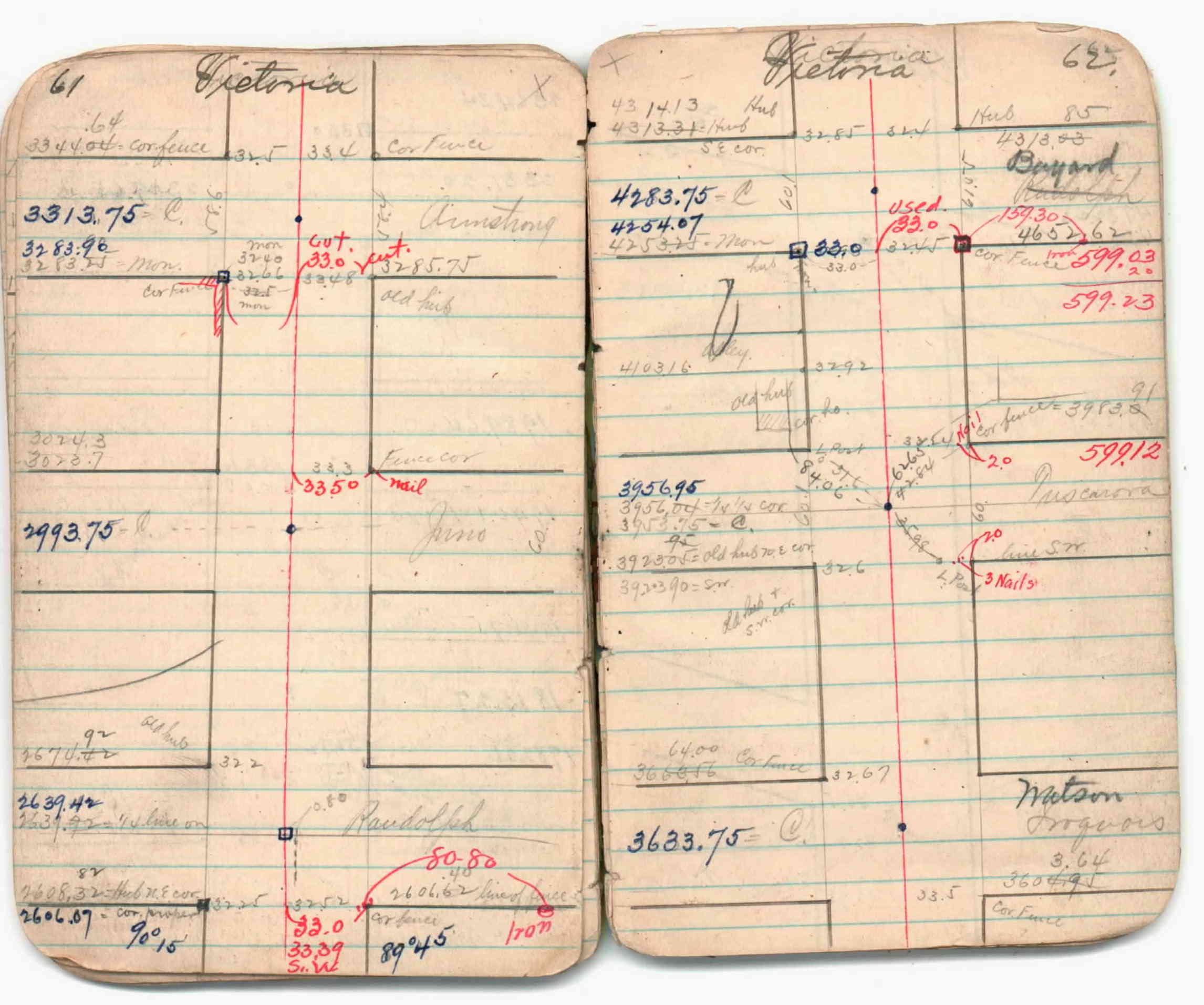
| 1/1/1880 | (Unknown date abt __, 188? ) See JBI 04 p.61-62 |
Above is NOT an all inclusive history of this point. Please review all the links below.
| PLS NOTES | Field | Cross Section | Sewer | J.B. Irvine | Monument | River Survey |
|---|---|---|---|---|---|---|
| FB 0258p.16 | JBI 04 p.61-62 | |||||
| FB 0553p.29 |
| FILE | PHOTO DATE | COMMENTS |
|---|---|---|
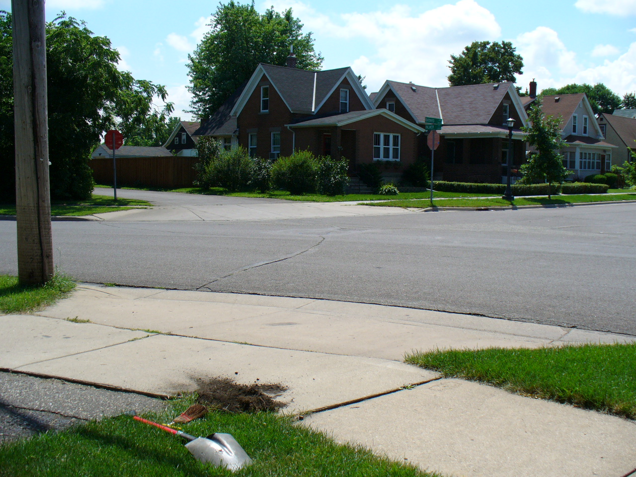
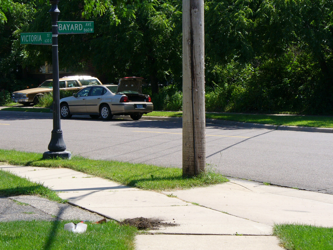
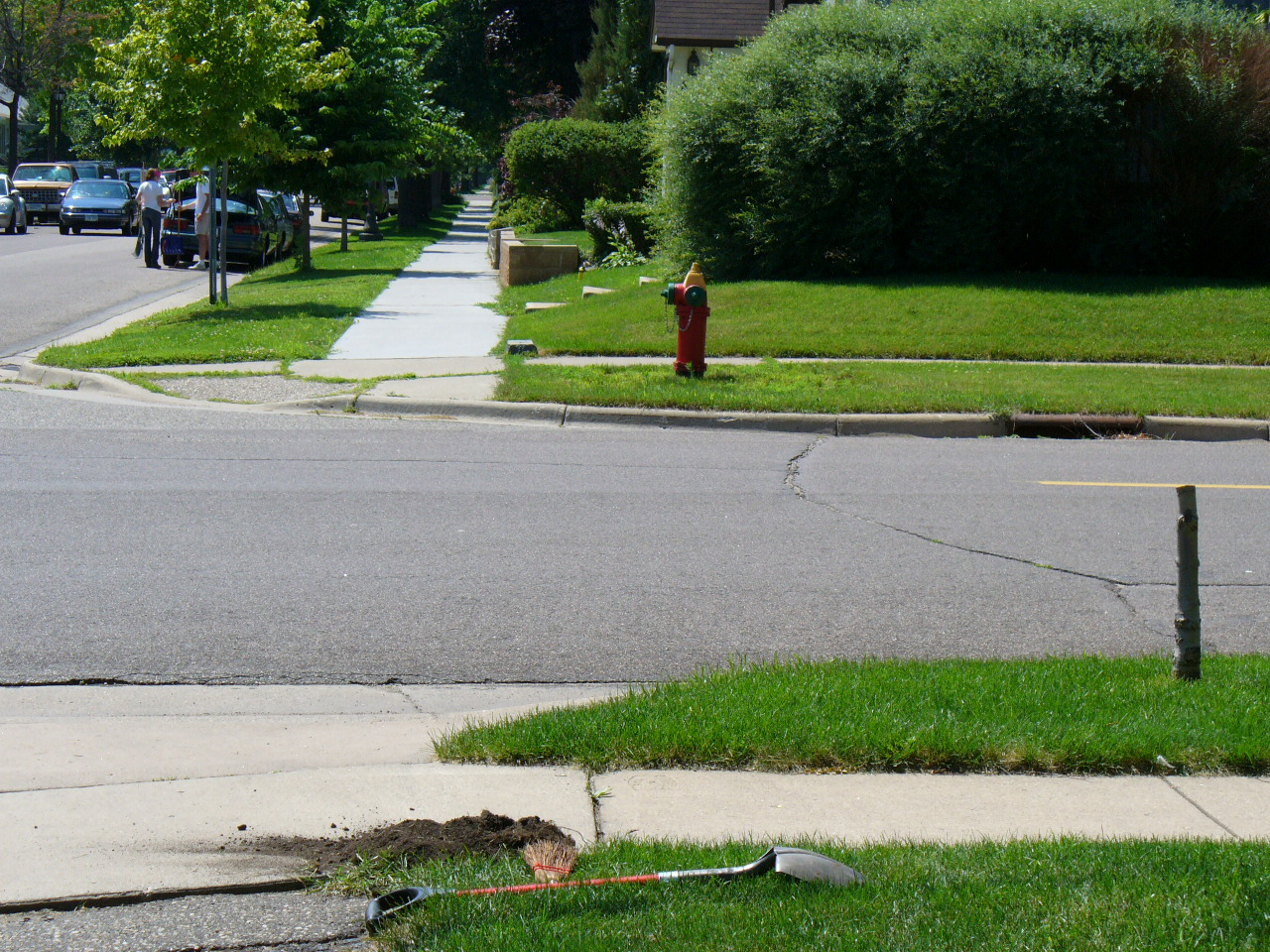
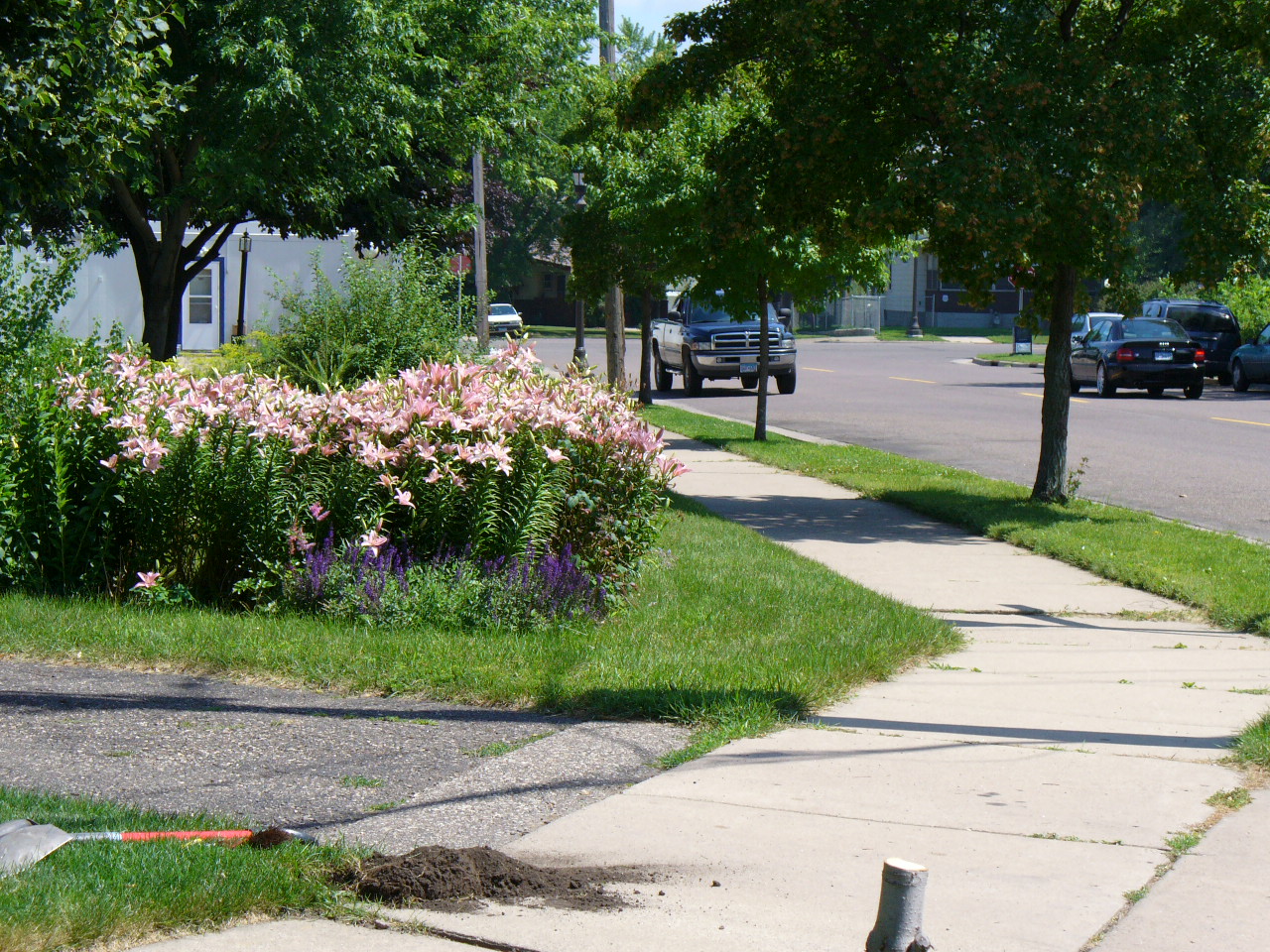
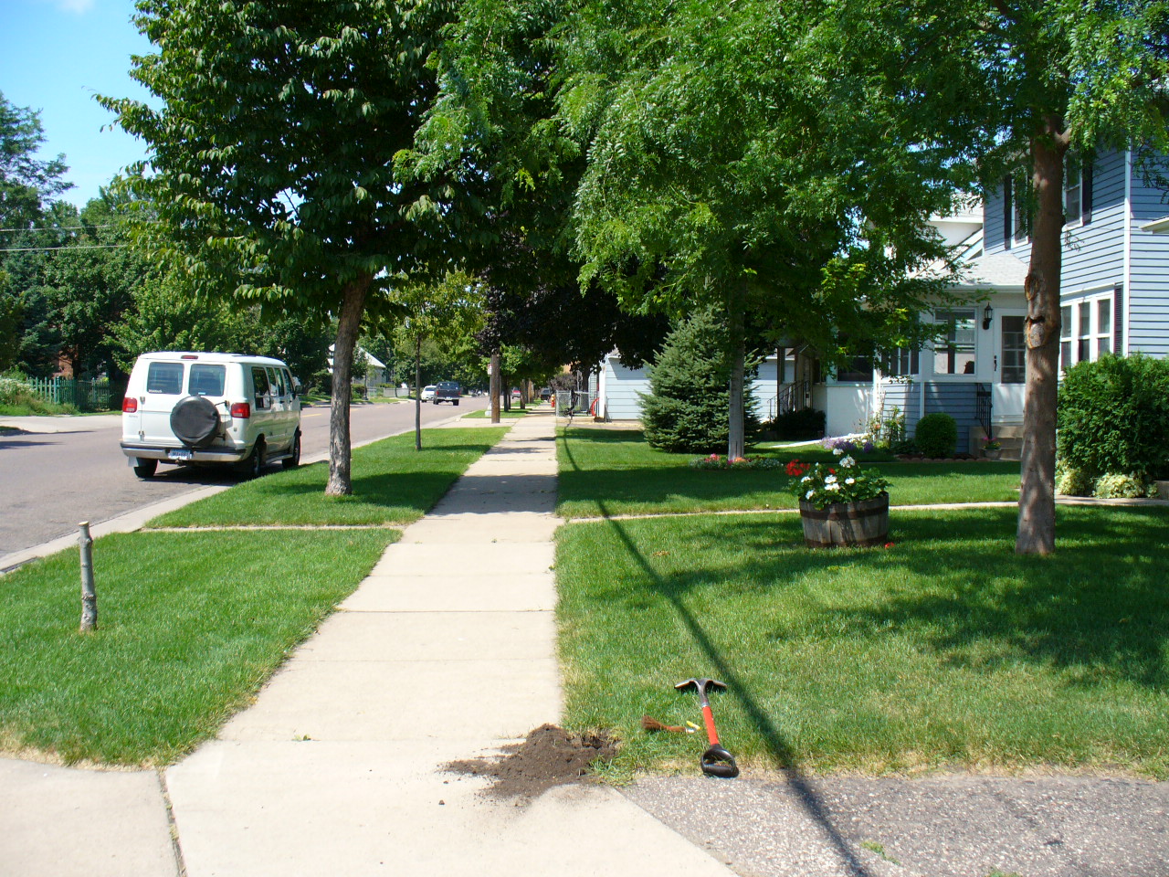
| 3789-1382A-8.jpg | July 5, 2005 | Looking Northwesterly. |
| 3789-1382A-7.jpg | July 5, 2005 | Looking Southwesterly. |
| 3789-1382A-6.jpg | July 5, 2005 | Looking South. |
| 3789-1382A-5.jpg | July 5, 2005 | Looking West (Monument 3790 across the street). |
| 3789-1382A-4.jpg | July 5, 2005 | Looking Southeasterly. |
| 3789-1382A-2.jpg | July 5, 2005 | Looking North. |
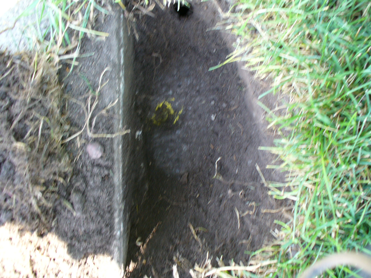
| 3789-1382A-1.jpg | July 5, 2005 | Close-up of GM. |