| NAD83 COORDINATES (1986 adj.): |
|---|
| X= 576838.342 Y= 147364.304 Z= 950.5 11/08/2005 RTK-VRS |
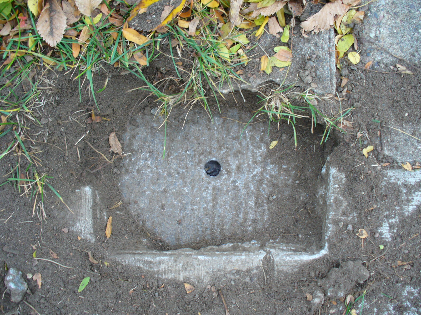
| 11/8/2005 | Fd GM 0.15 ft below sidewalk. Position established by RTK-VRS GPS. See CofL 3792-__db-A |
| 11/3/2005 | Fd GM 0.15 ft below sidewalk. Placed Magnet. Photos taken. |
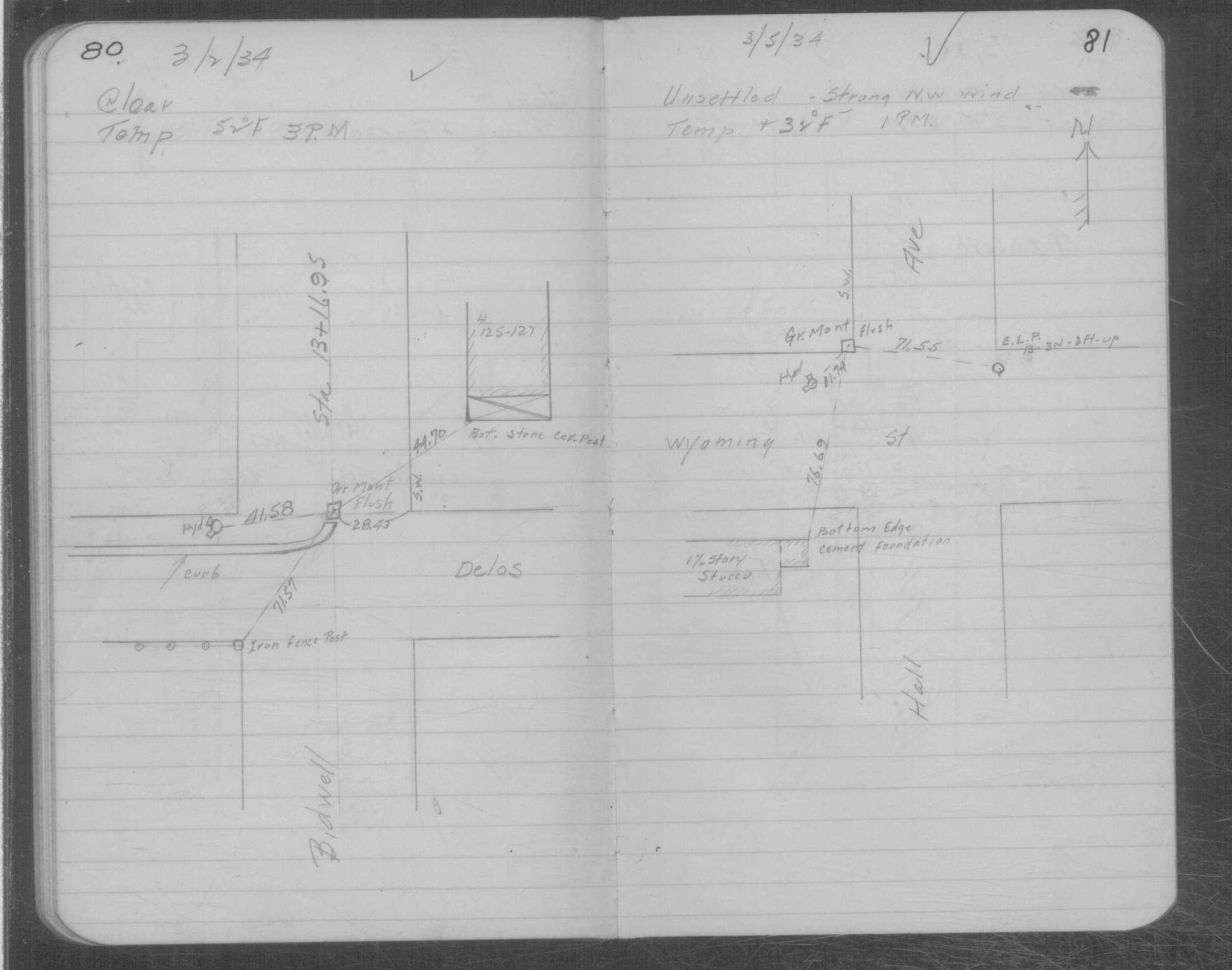
| 3/5/1934 | Placed ties on GM at grade. See MSX 1 p.80-81 |
Above is NOT an all inclusive history of this point. Please review all the links below.
| PLS NOTES | Field | Cross Section | Sewer | J.B. Irvine | Monument | River Survey |
|---|---|---|---|---|---|---|
| MSX 0001 p.080-081 |
| FILE | SURVEYOR | LIC. NO. | DATE SIGNED | DATE TIED |
|---|---|---|---|---|
| 3792-__db-A.tif | Michael P. Murphy | 41001 | November 8, 2005 | November 8, 2005 |
| FILE | PHOTO DATE | COMMENTS |
|---|---|---|
| 3792-__db-5.jpg | November 3, 2005 | Close-up of the monument. |
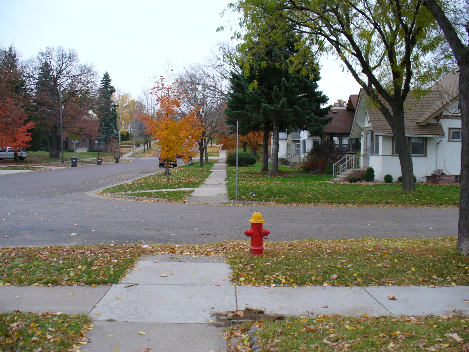
| 3792-__db-4.jpg | November 3, 2005 | Looking West along the North side of Wyoming St. |
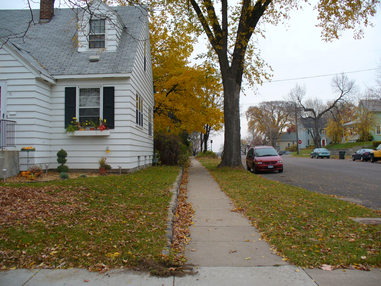
| 3792-__db-3.jpg | November 3, 2005 | Looking South along the West side of Hall Ave. |
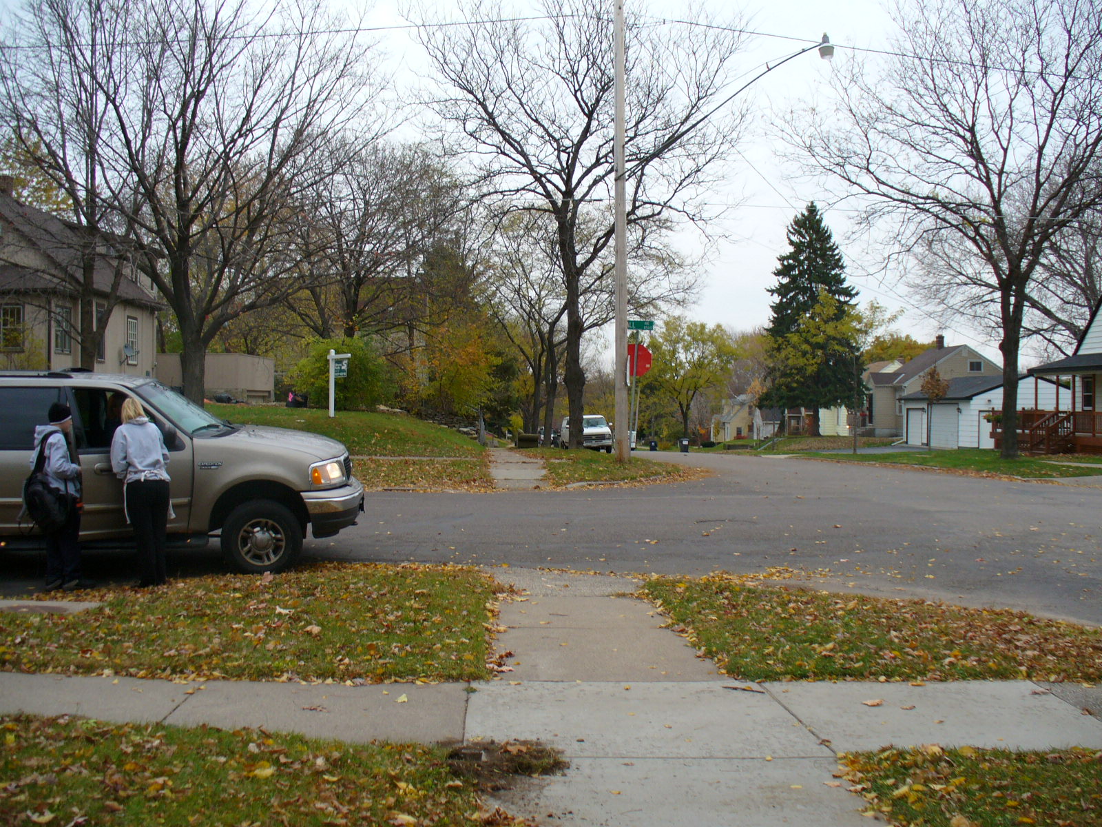
| 3792-__db-2.jpg | November 3, 2005 | Looking North along the West side of Hall Ave. |
| 3792-__db-1.jpg | November 3, 2005 | Looking East along the North side of Wyoming St. |