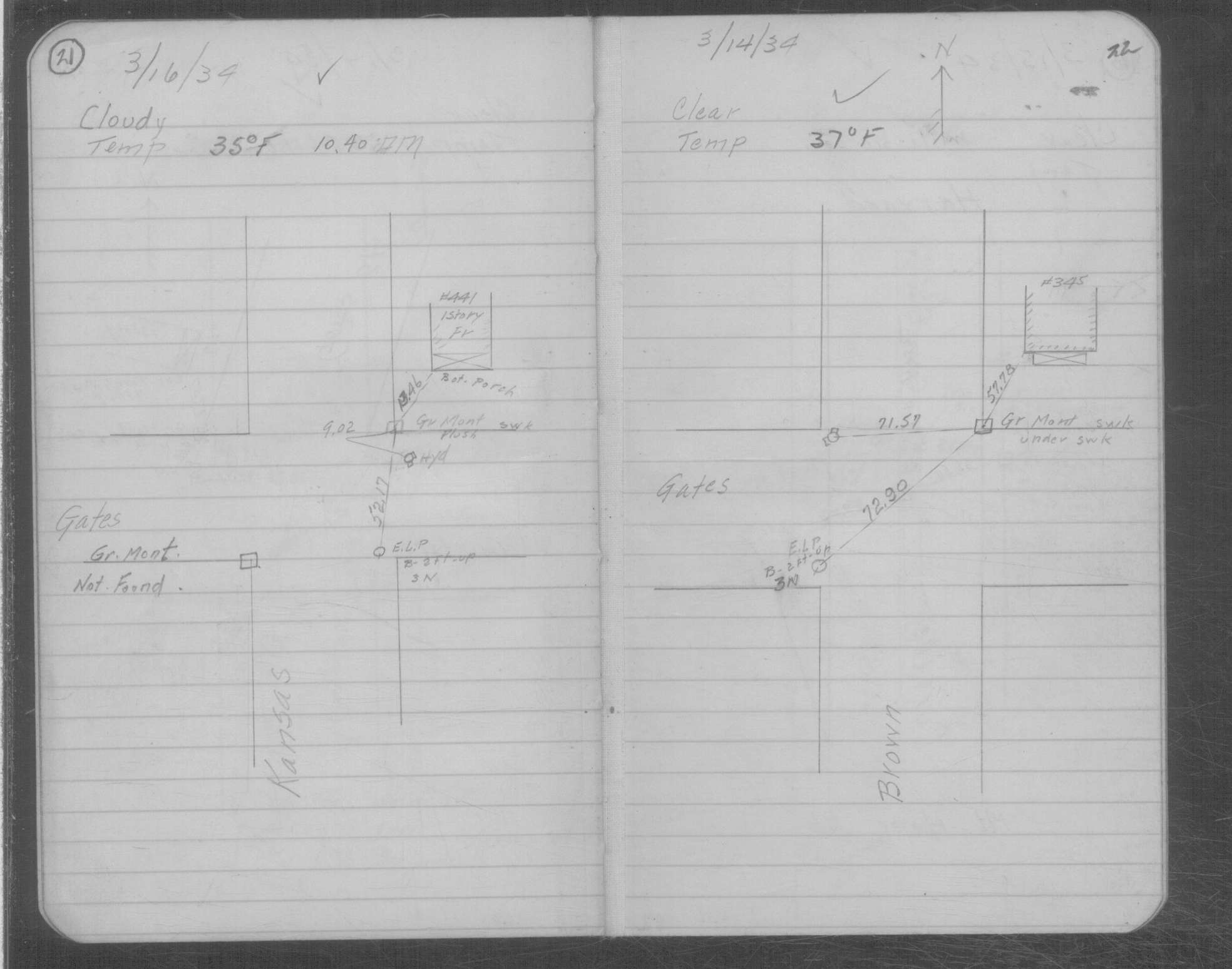
|
FILE
|
PHOTO DATE
|
COMMENTS
|
|
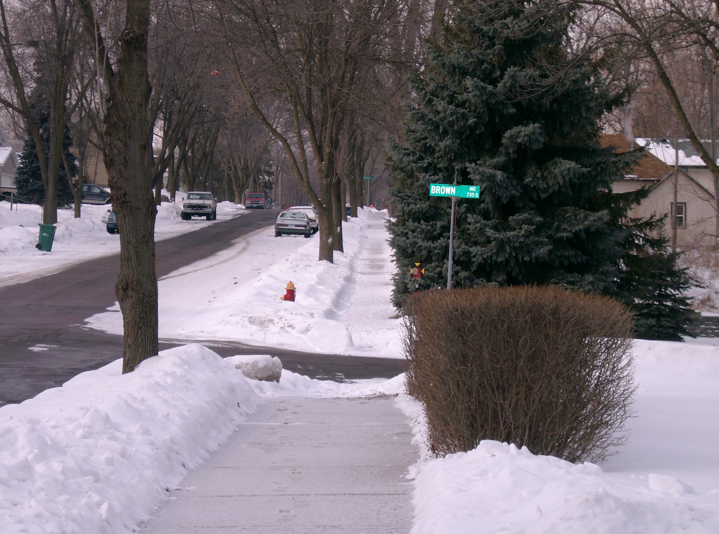
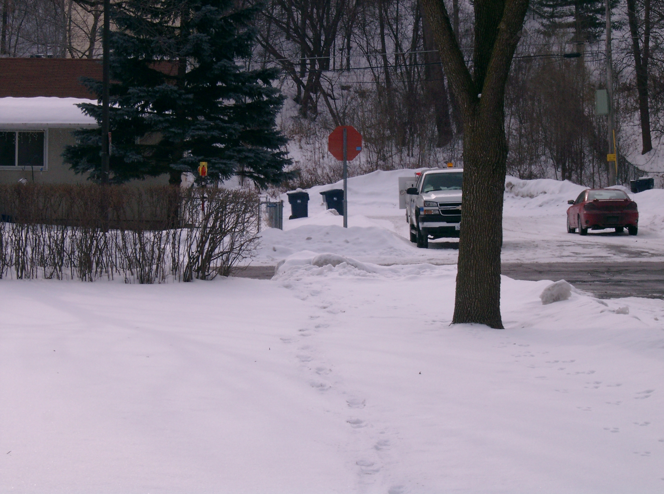
3799-0643B-9.jpg
|
February 14, 2008
|
Looking North along the East side of Brown Ave.
|
|
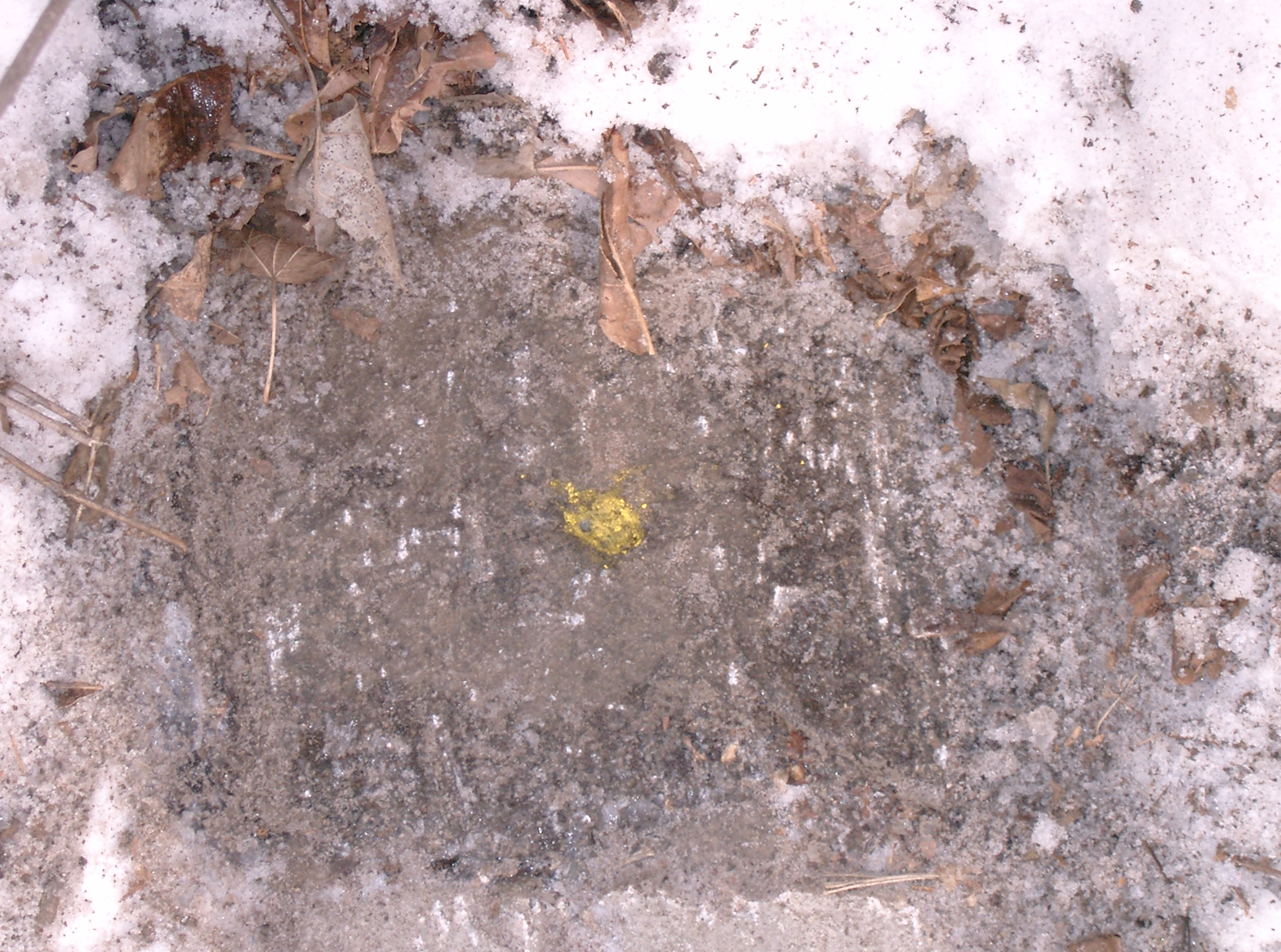
3799-0643B-8.jpg
|
February 14, 2008
|
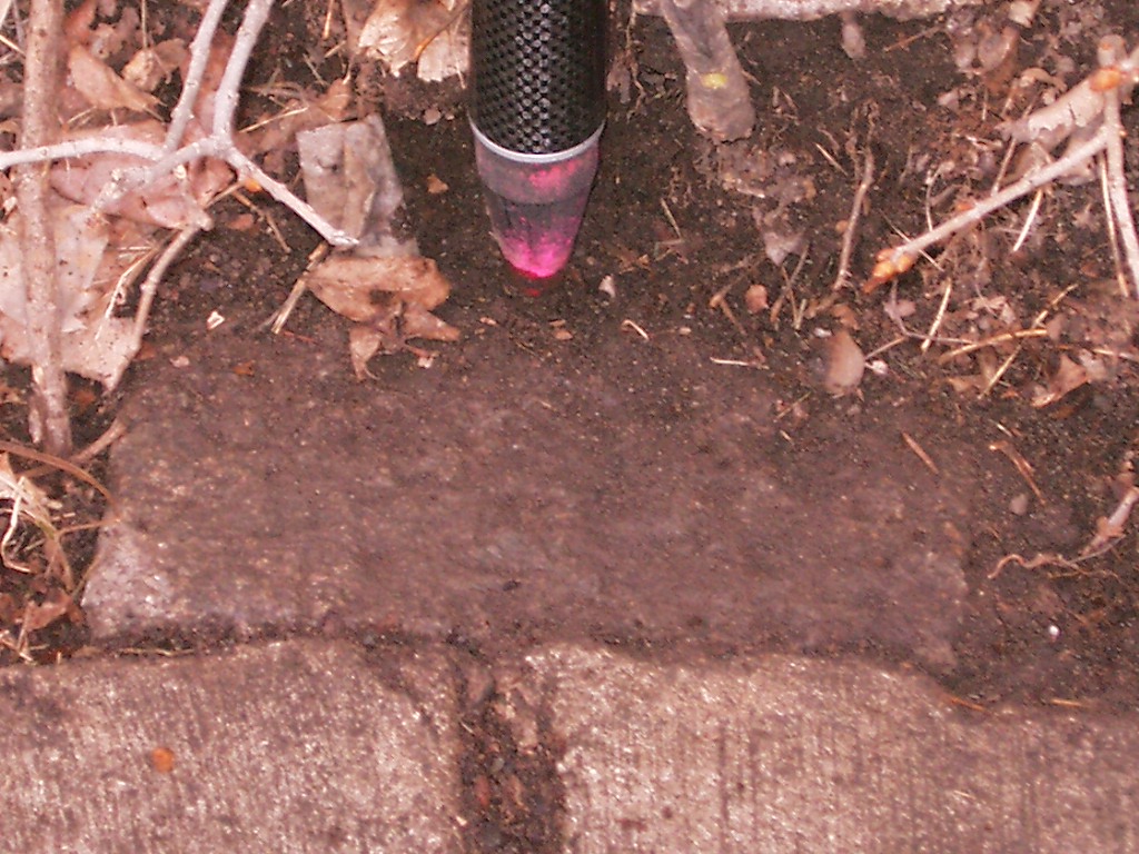
Close-up of the granite monument.
|
|
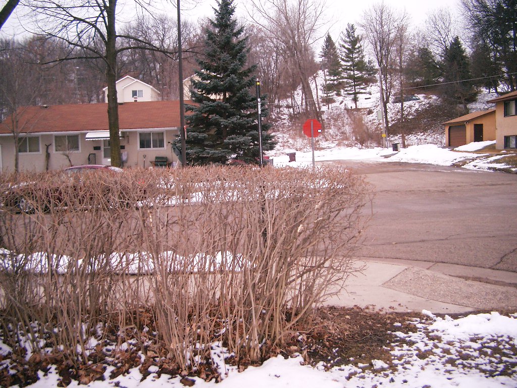
3799-0643B-12.jpg
|
February 14, 2008
|
Looking West along the North side of Sidney St.
|
|
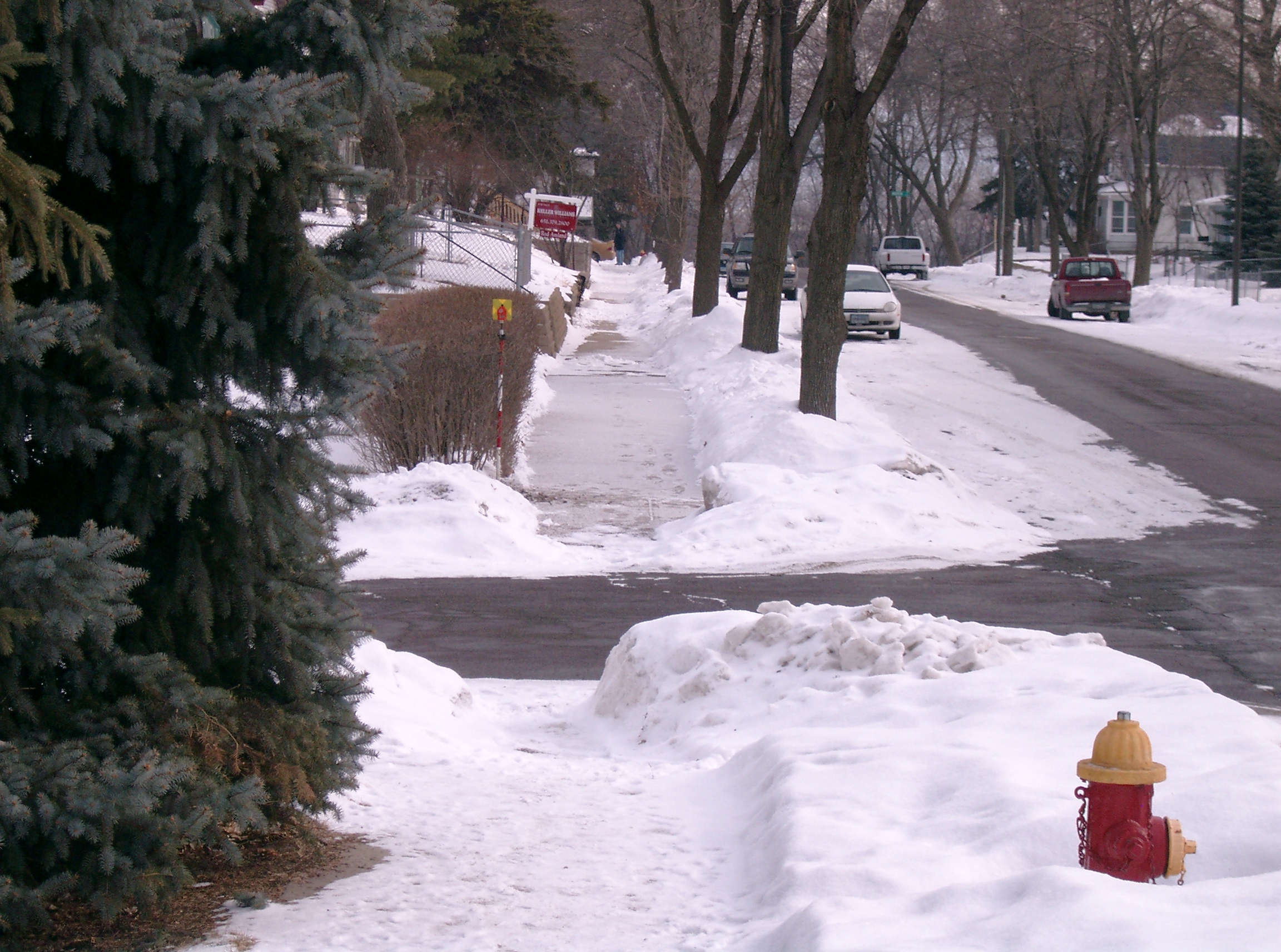
3799-0643B-11.jpg
|
February 14, 2008
|
Looking South along the East side of Brown Ave.
|
|
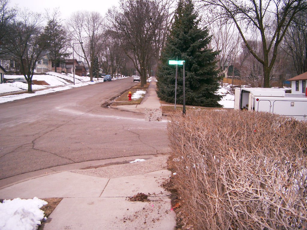
3799-0643B-10.jpg
|
February 14, 2008
|
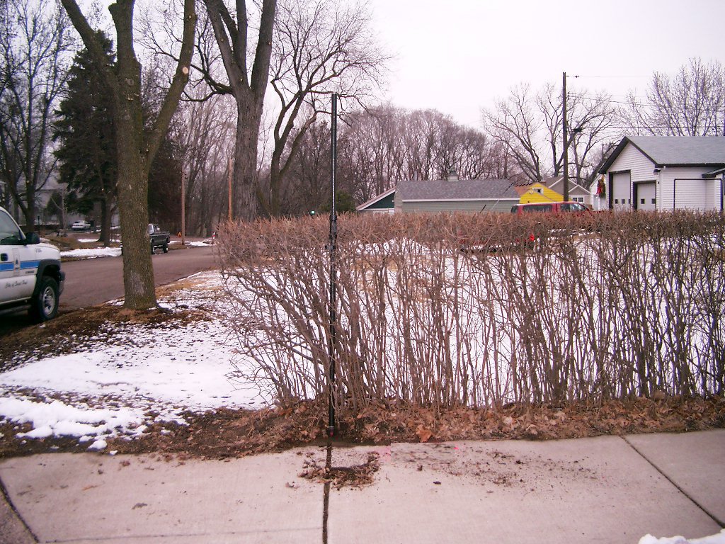
Looking East along the North side of Sidney St.
|
|
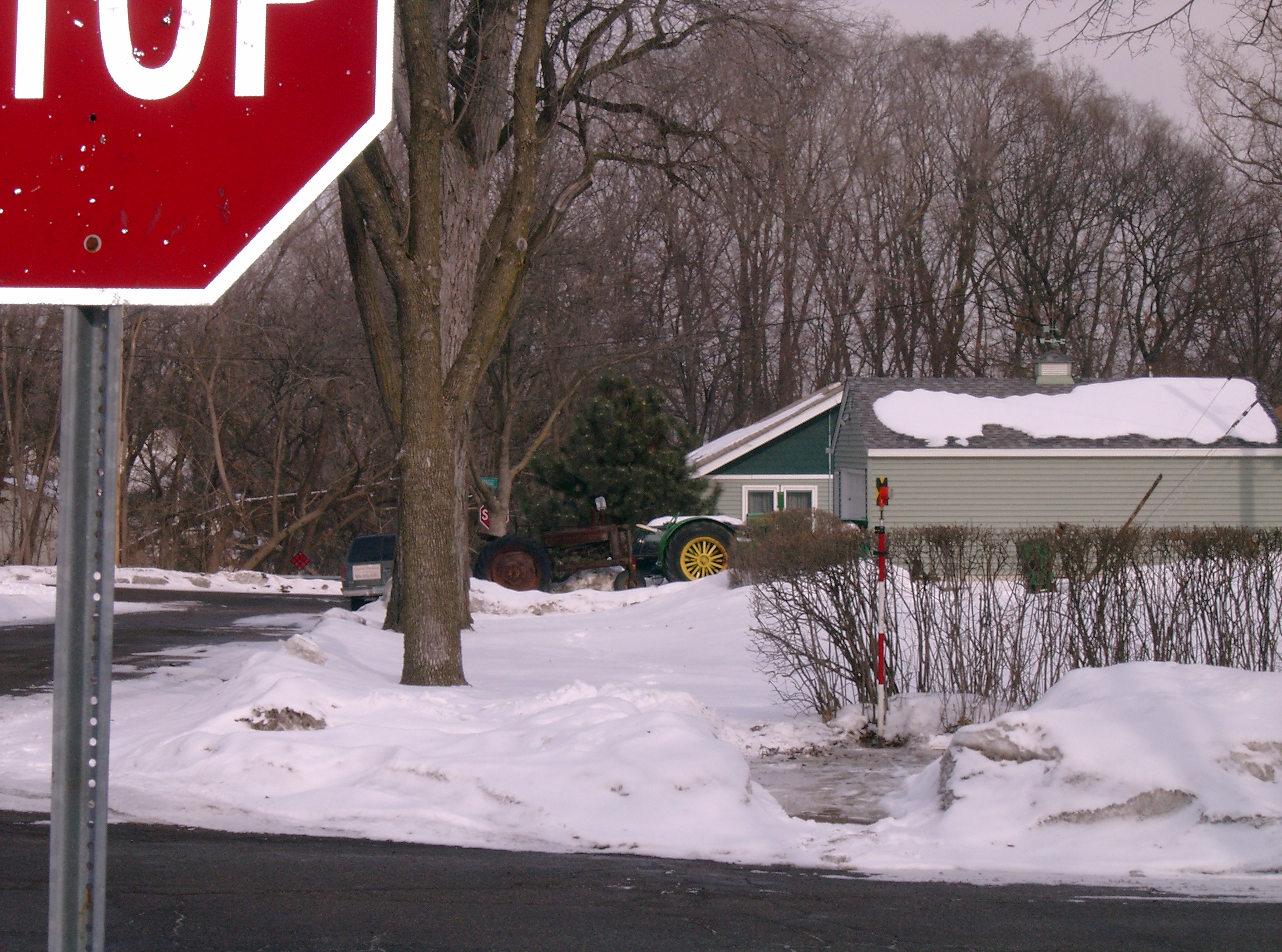
3799-0643B-7.jpg
|
March 8, 2006
|
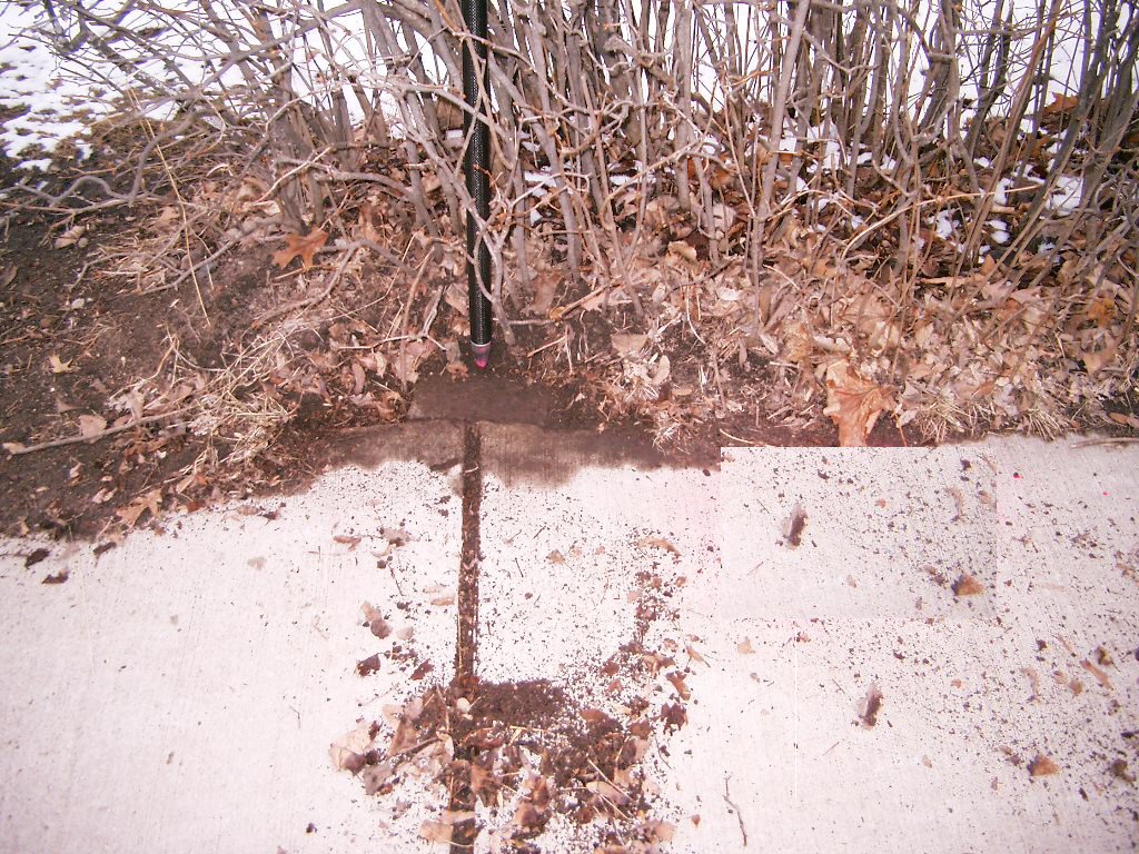
Looking Northeasterly.
|
|
3799-0643B-6.jpg
|
March 8, 2006
|
Looking West along the North side of Sidney St.
|
|
3799-0643B-5.jpg
|
March 8, 2006
|
Looking South along the East side of Brown Ave.
|
|
3799-0643B-4.jpg
|
March 8, 2006
|
Looking East along the North side of Sidney St.
|
|
3799-0643B-3.jpg
|
March 8, 2006
|
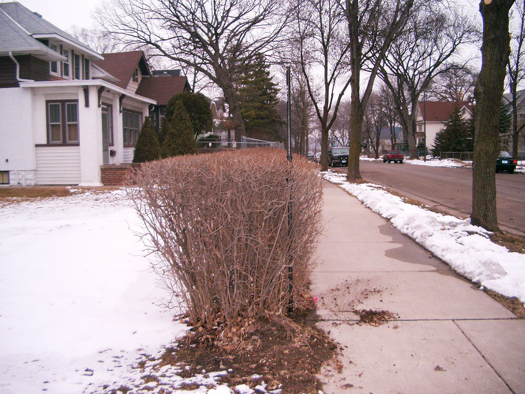
Looking North along the East side of Brown Ave.
|
|
3799-0643B-2.jpg
|
March 8, 2006
|
Close-up of the granite monument.
|
|
3799-0643B-1.jpg
|
March 8, 2006
|
Close-up of the granite monument.
|