| NAD83 COORDINATES (1986 adj.): |
|---|
| X= 570828.124 Y= 168007.223 Z= 854.9 01/17/2006 RTK-VRS |
| 7/16/2013 | No evidence of monument beneath recently constructed retaining wall. It is presumed that monument was removed during its construction. |
| 9/16/2011 | Location obstructed by block wall; unable to investigate. |
| 1/17/2006 | Position established on the GM by GPS RTK-VRS. |
| 9/22/2005 | Photos taken. |
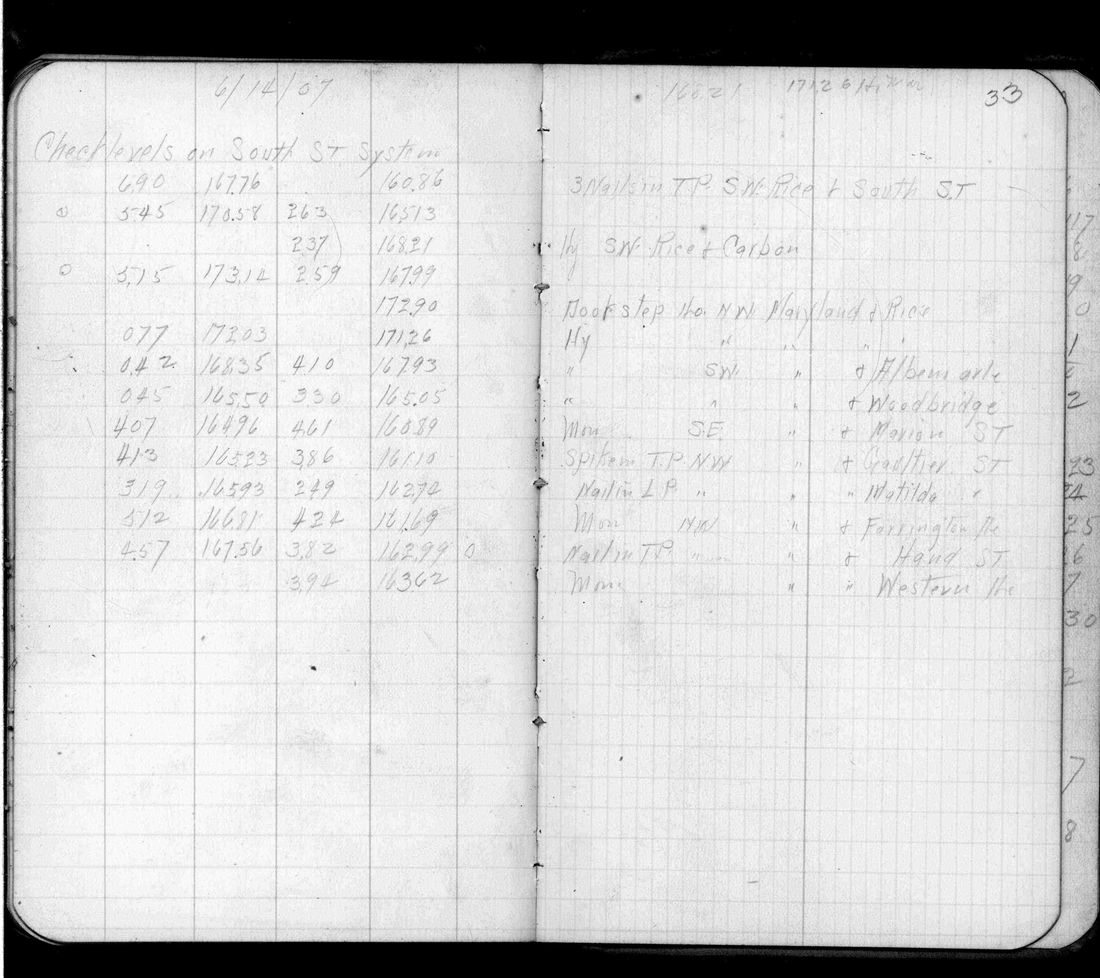
| 6/14/1907 | Elev 160.89 ft. on GM. See FB553 p.33 |
| 1/18/1889 | Mont reset after grading by Chas Hunt. |
| 1/1/1887 | (Unknown date ___ __, 1887 ) Mont showing street line as graded in 1887. Set by Chas Hunt in place of original iron. |
Above is NOT an all inclusive history of this point. Please review all the links below.
| PLS NOTES | Field | Cross Section | Sewer | J.B. Irvine | Monument | River Survey |
|---|---|---|---|---|---|---|
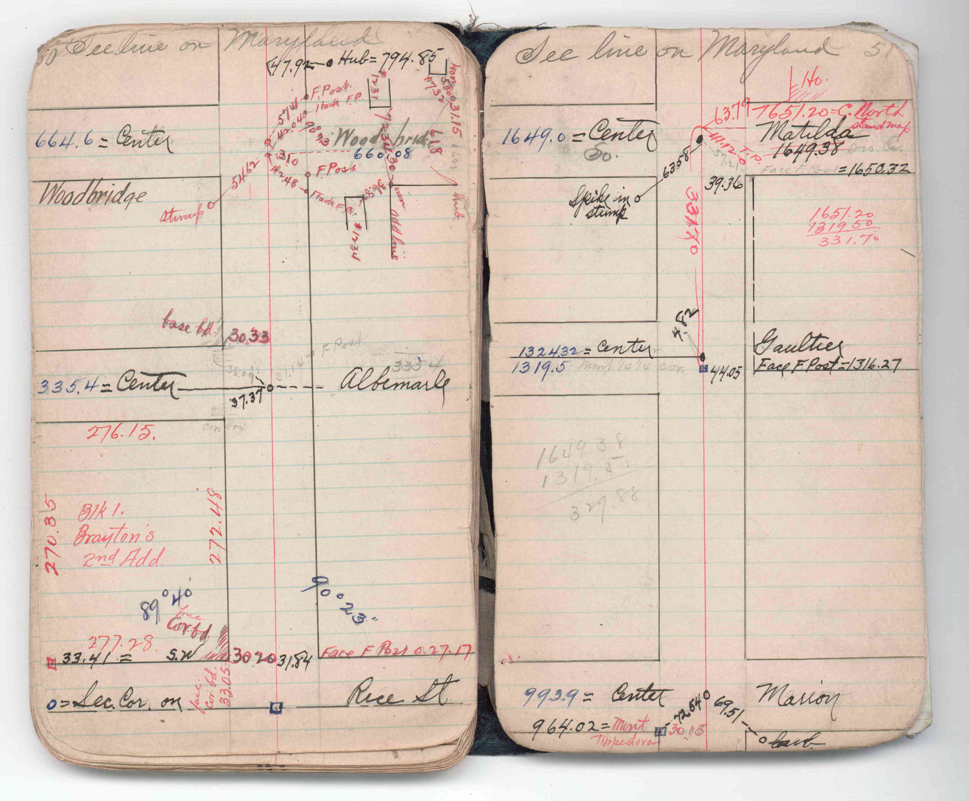
| FB 0553p.33 | JBI 06 p.50-51 |
| FILE | PHOTO DATE | COMMENTS |
|---|---|---|
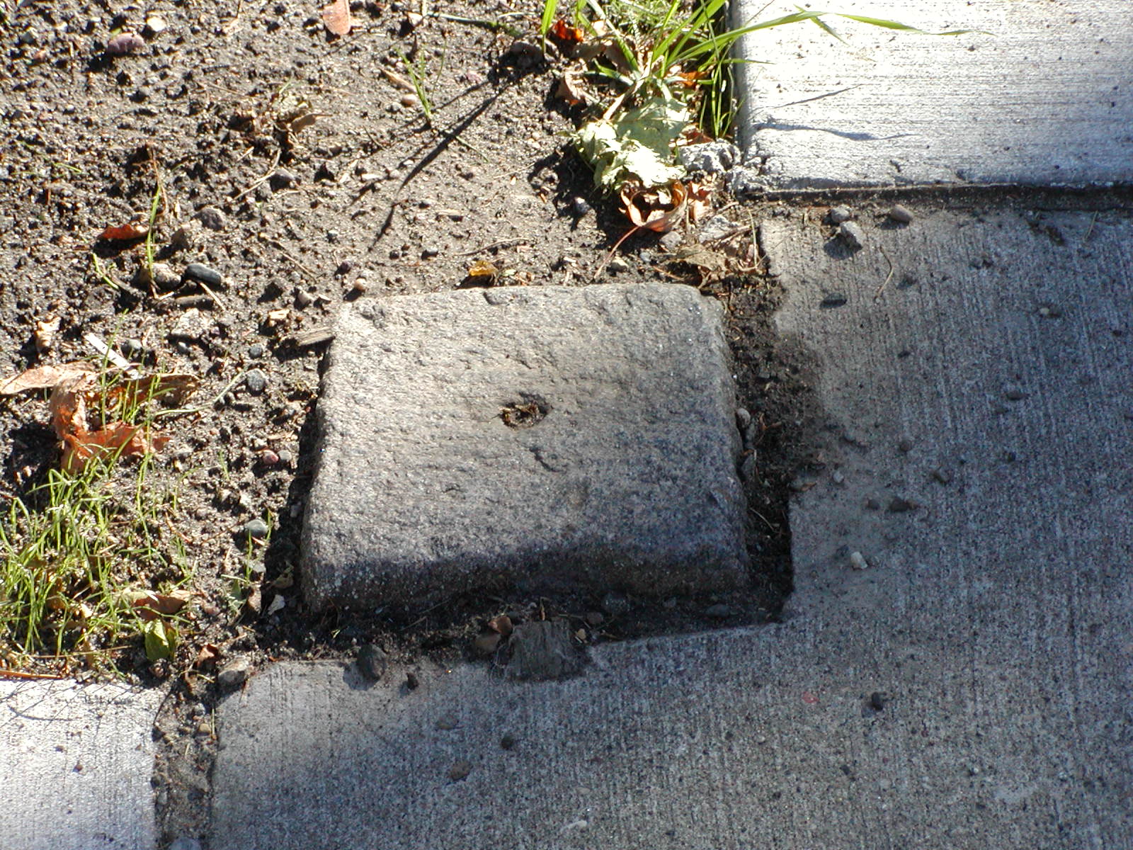
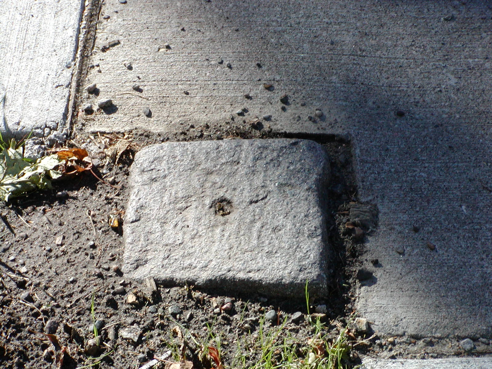
| 3801-1263-7.jpg | September 22, 2005 | Close-up of GM. |
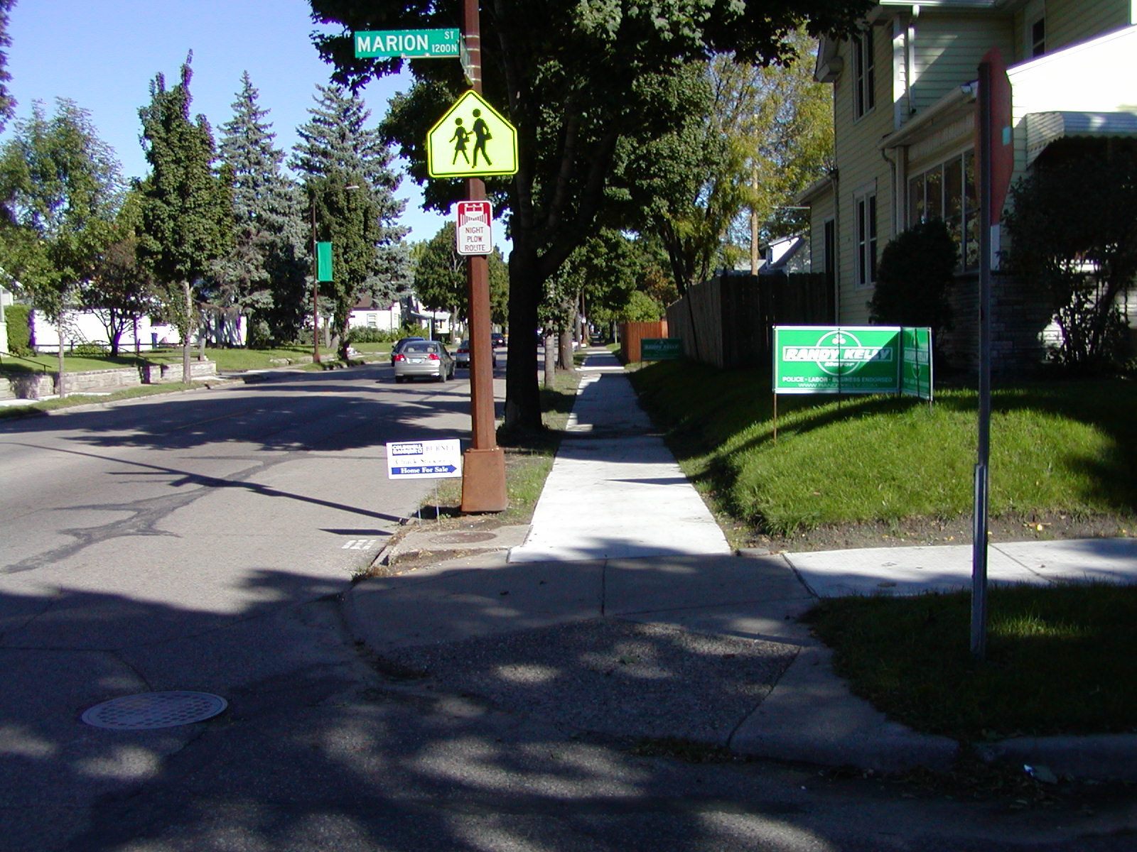
| 3801-1263-6.jpg | September 22, 2005 | Looking North along the East side of Marion St. |
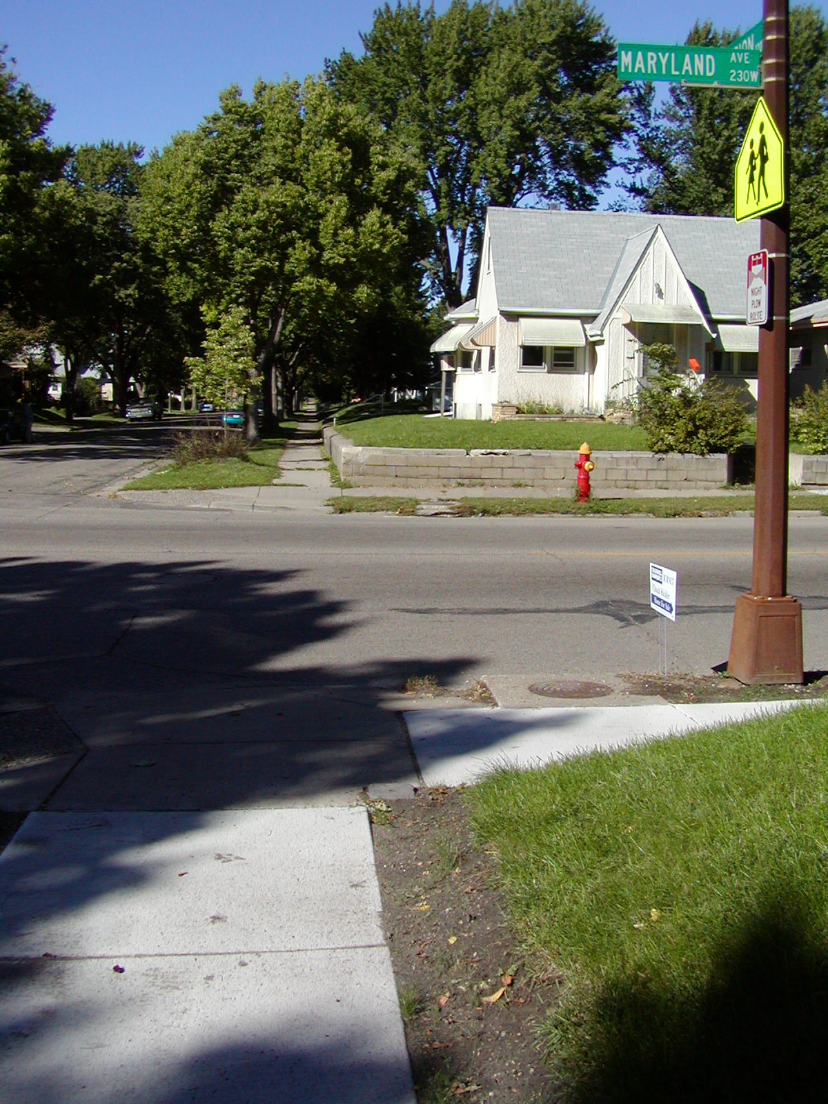
| 3801-1263-5.jpg | September 22, 2005 | Looking East along the South side of Maryland Ave. |
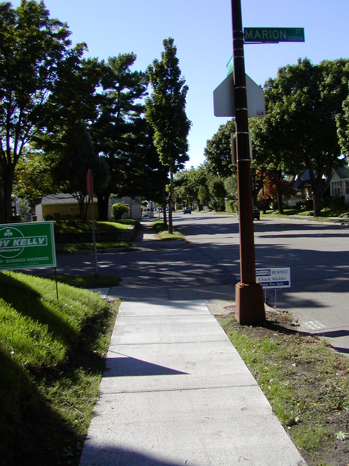
| 3801-1263-4.jpg | September 22, 2005 | Looking Southeast. |
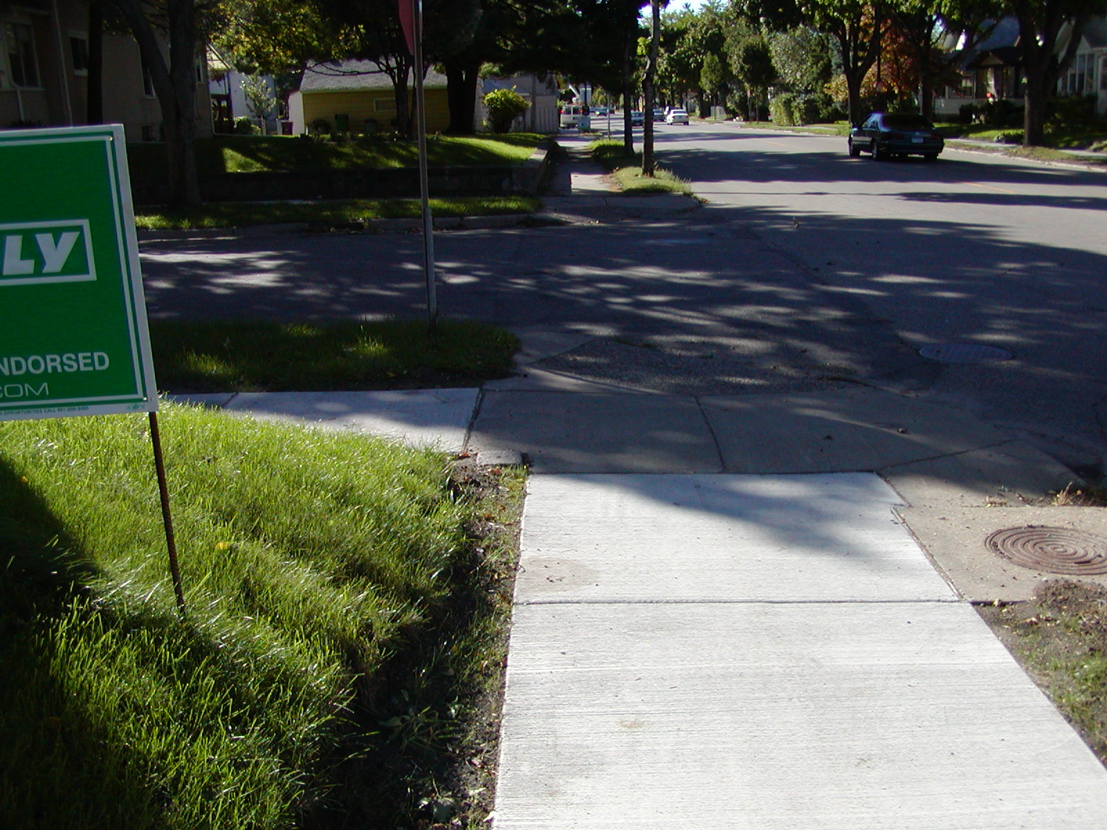
| 3801-1263-3.jpg | September 22, 2005 | looking West along the South side of Maryland Ave. |
| 3801-1263-2.jpg | September 22, 2005 | looking West along the South side of Maryland Ave. |
| 3801-1263-1.jpg | September 22, 2005 | Close-up of GM. |