| NAD83 COORDINATES (1986 adj.): |
|---|
| X= 550117.095 Y= 157026.194 Z= 879.9 01/17/2006 RTK-VRS |
| 1/17/2006 | Position established on the GM by GPS RTK-VRS. |
| 10/5/2005 | Fd GM at grade by sidewalk inspector. Photos taken. |
| FILE | PHOTO DATE | COMMENTS |
|---|---|---|
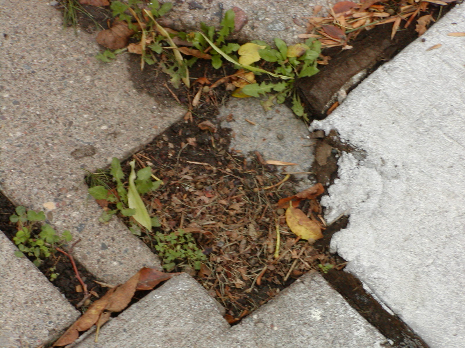
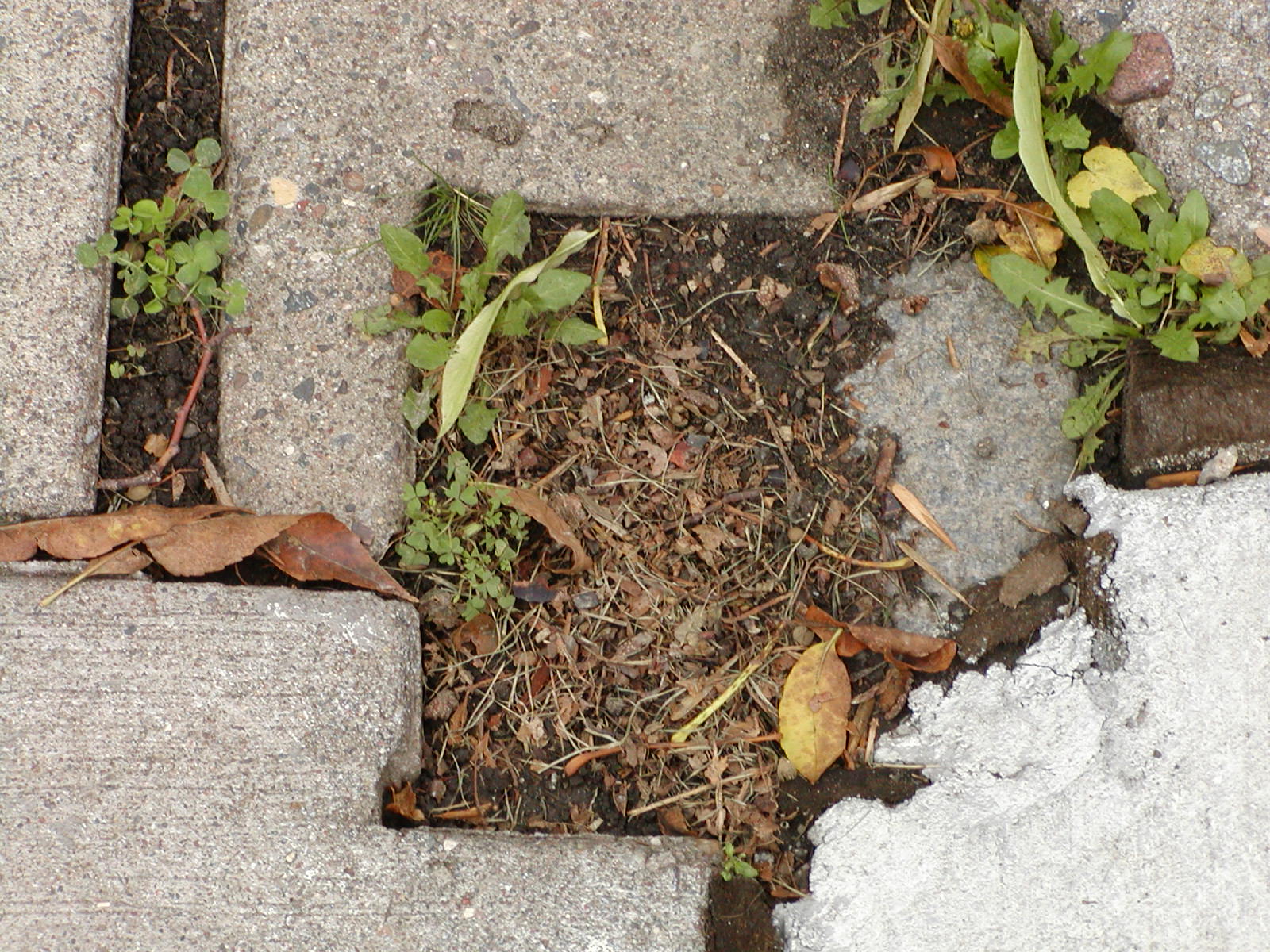
| 3802-3017-6.jpg | October 5, 2005 | Close-up of the GM. |
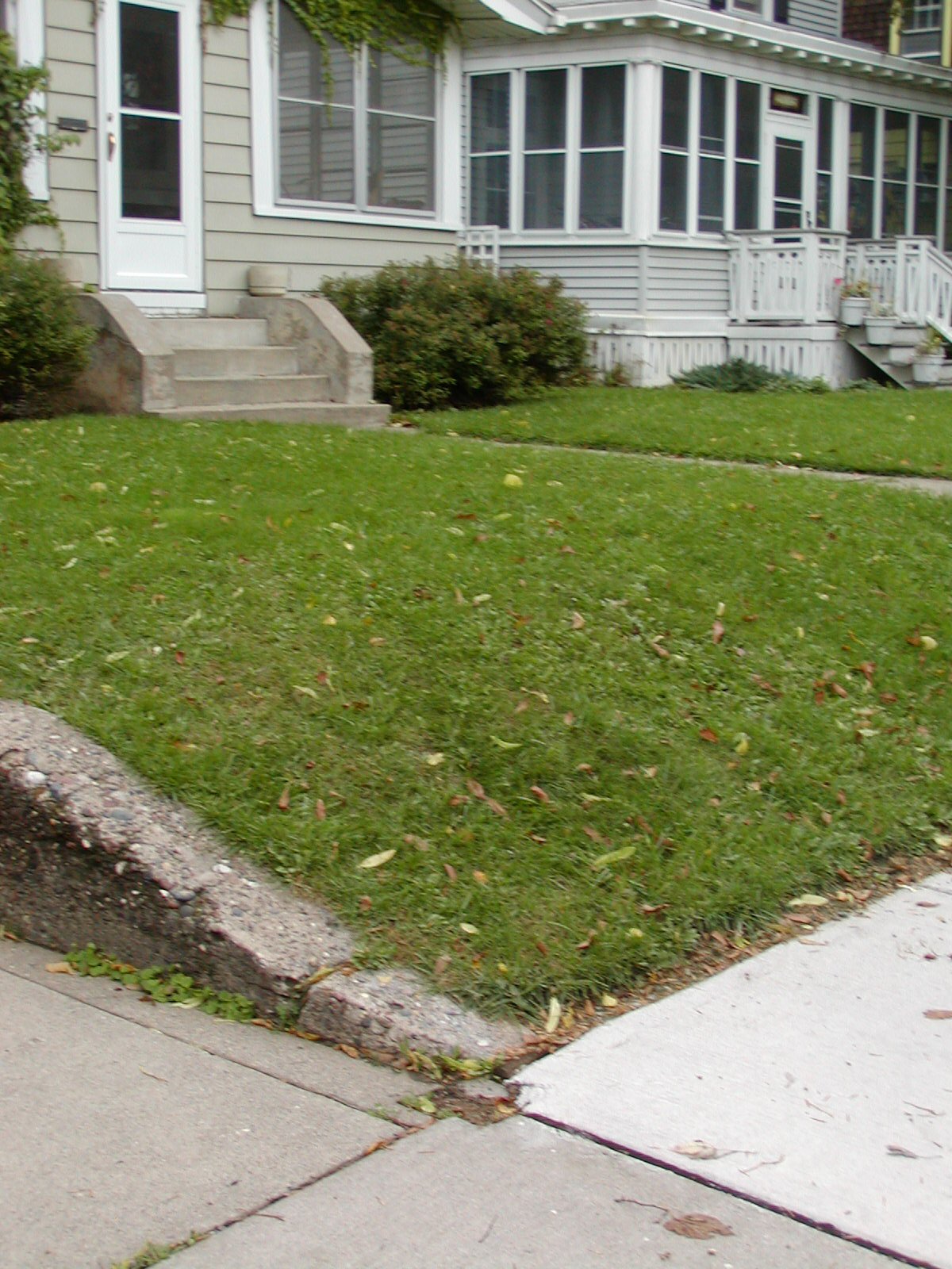
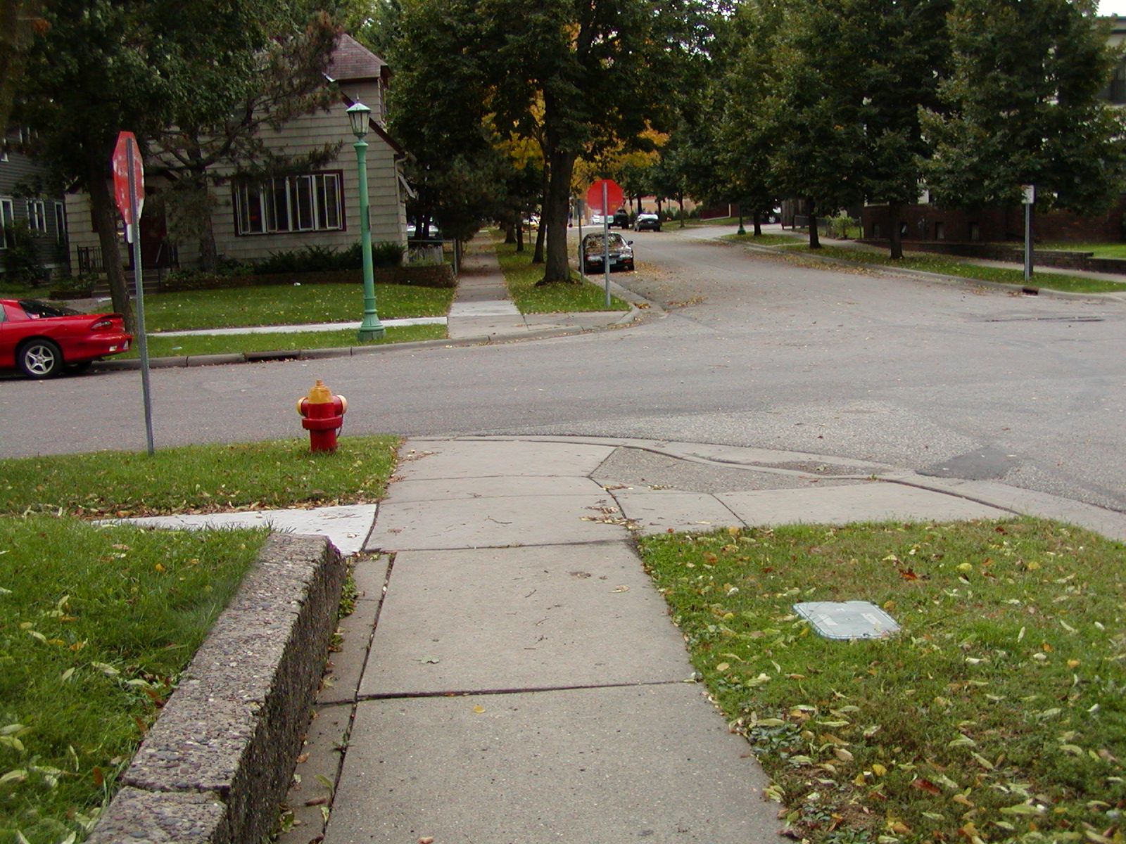
| 3802-3017-5.jpg | October 5, 2005 | GM at the end of the wall and the sidewalk intersection. |
| 3802-3017-4.jpg | October 5, 2005 | Close-up of the GM. |
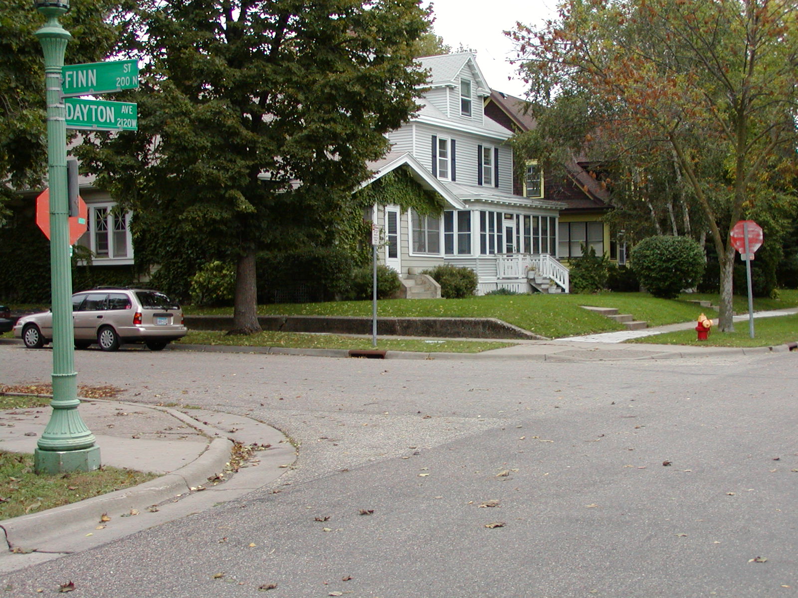
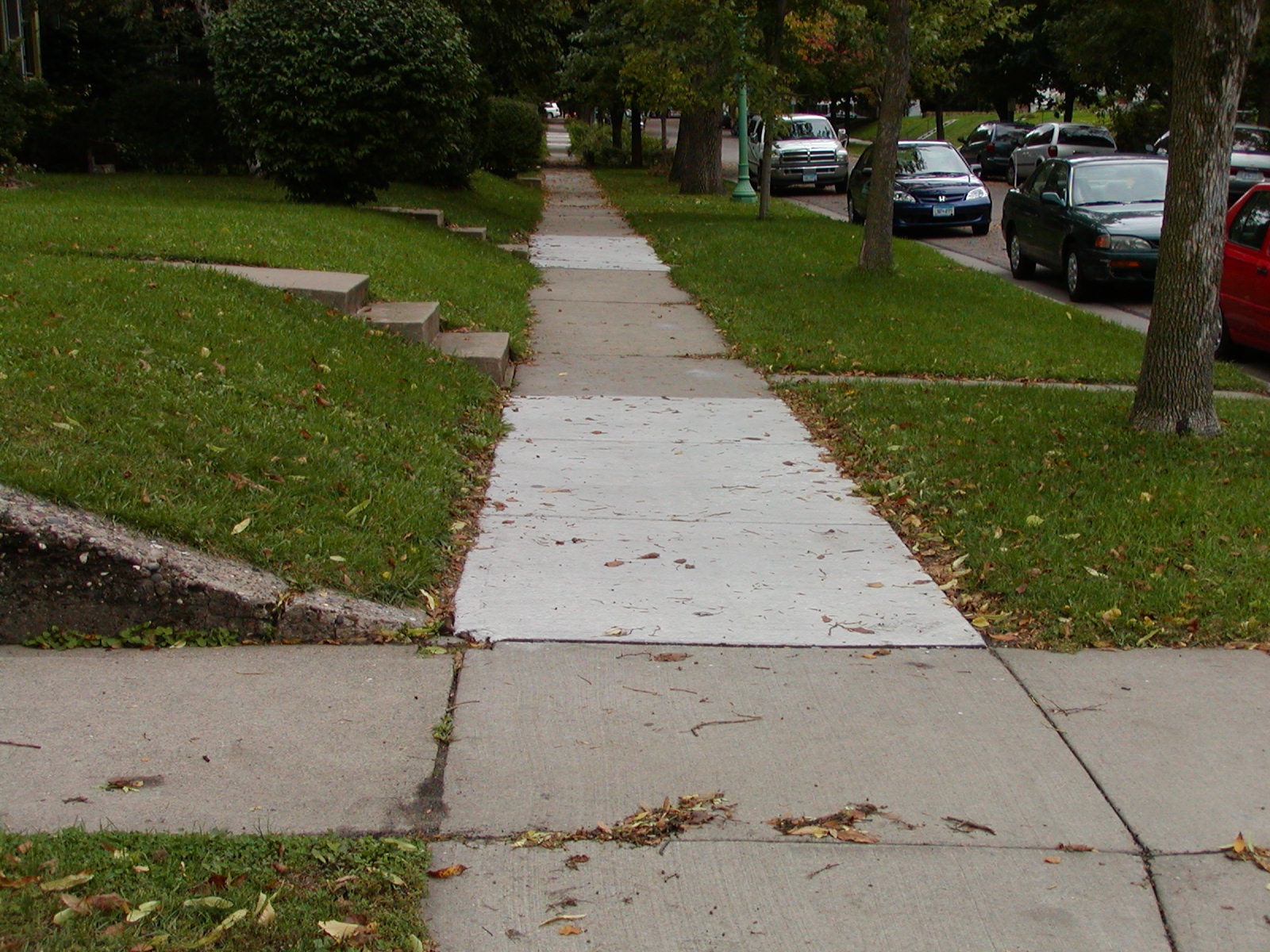
| 3802-3017-3.jpg | October 5, 2005 | Looking Northeast. |
| 3802-3017-2.jpg | October 5, 2005 | Looking East along the North side of Dayton Ave. |
| 3802-3017-1.jpg | October 5, 2005 | Looking South along the East side of Finn Ave. |