|
FILE
|
PHOTO DATE
|
COMMENTS
|
|
3807-2255-9.jpg
|
February 7, 2006
|
Looking South along the Ski trail.
|
|
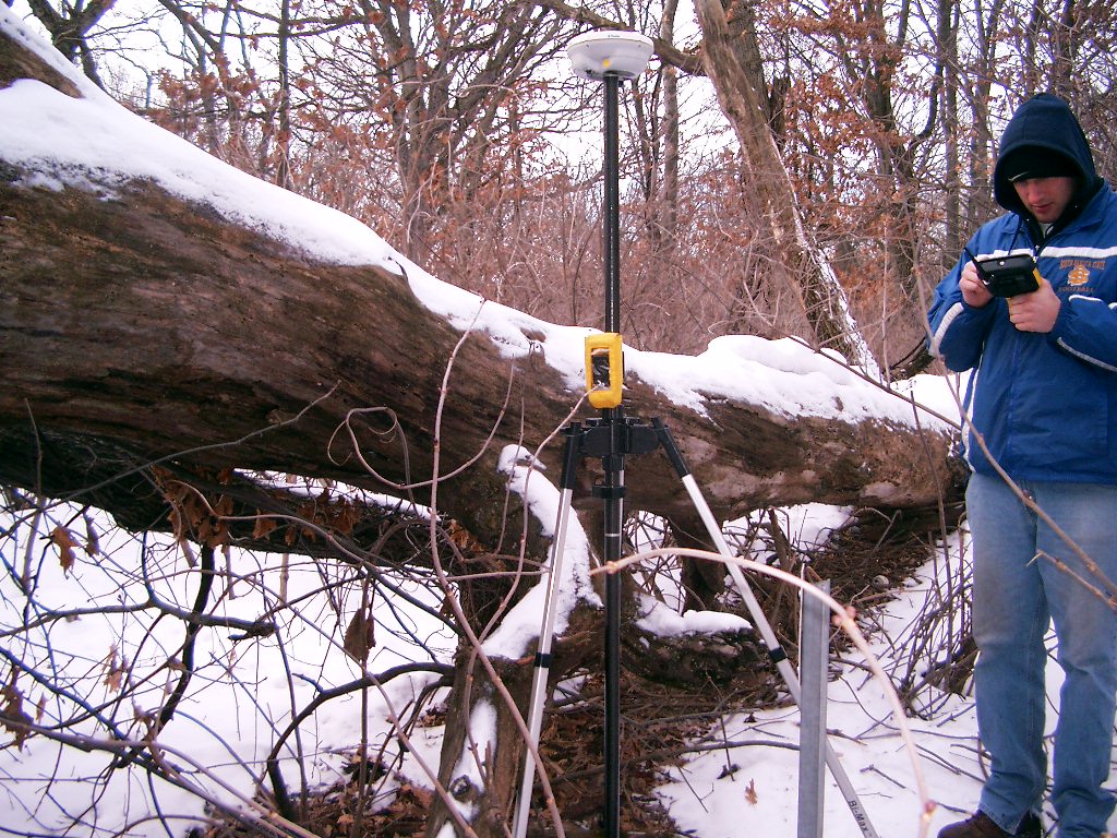
3807-2255-8.jpg
|
February 7, 2006
|
Looking Westerly. 20 inch pine tree tie on the right.
|
|
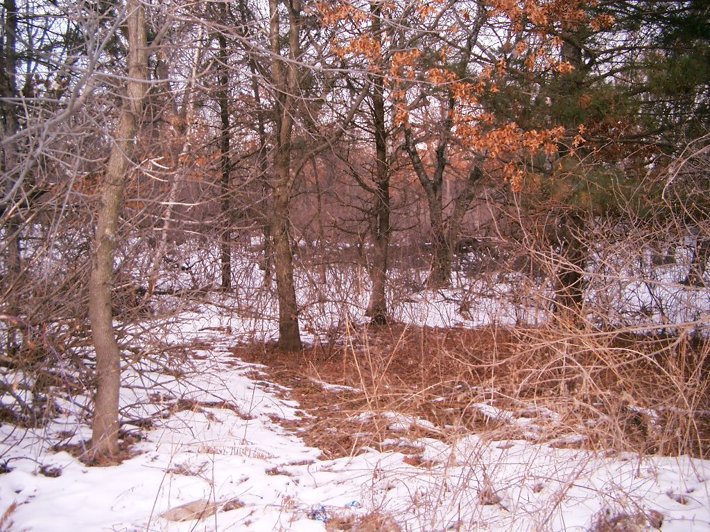
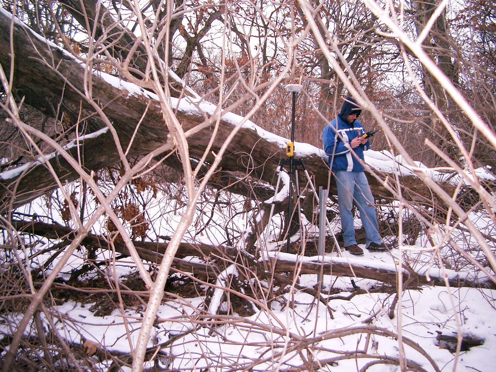
3807-2255-7.jpg
|
February 7, 2006
|
Looking Southeasterly.
|
|
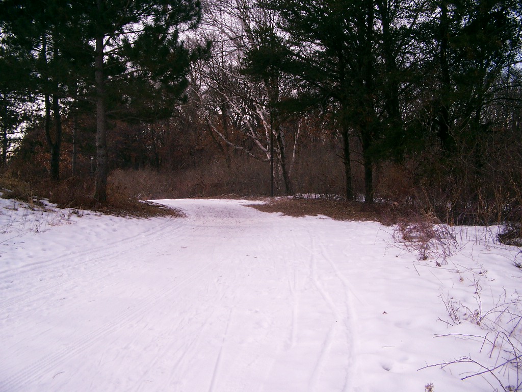
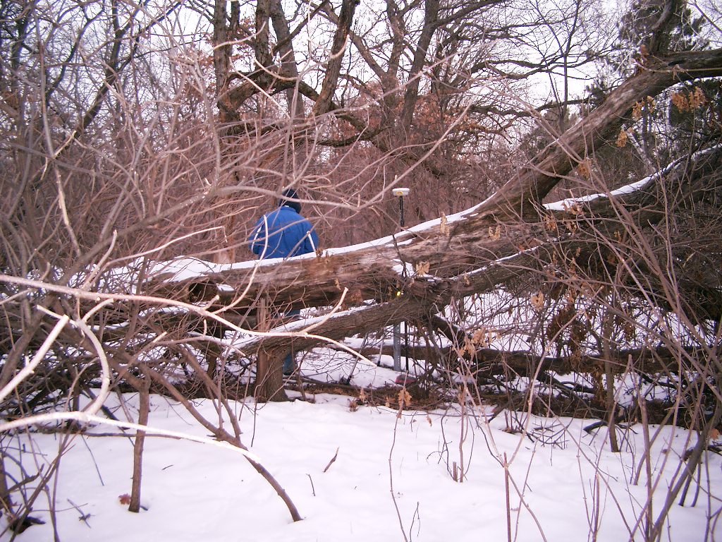
3807-2255-6.jpg
|
February 7, 2006
|
Looking Southerly.
|
|
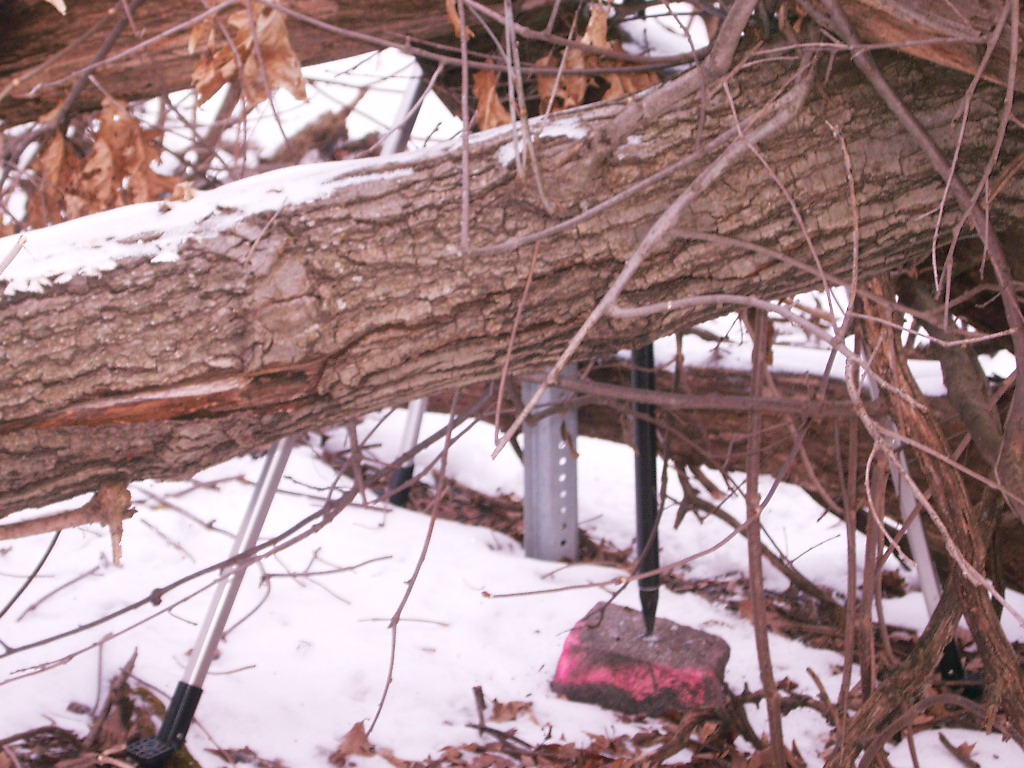
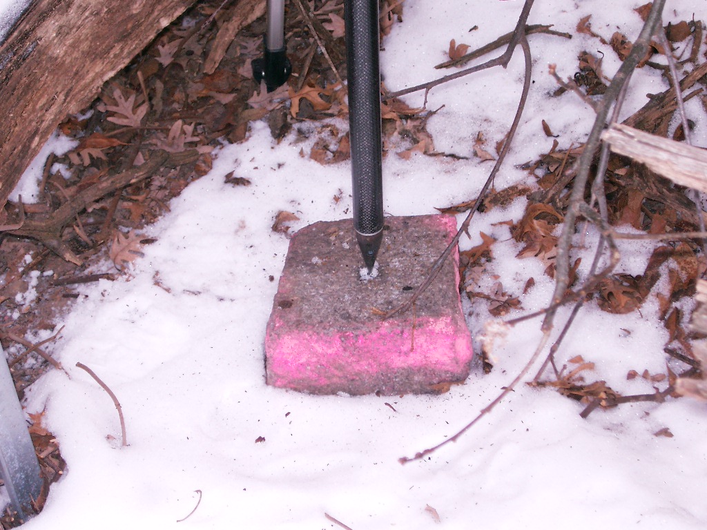
3807-2255-5.jpg
|
February 7, 2006
|
Close-up of the granite monument.
|
|
3807-2255-4.jpg
|
February 7, 2006
|
Looking Easterly.
|
|
3807-2255-3.jpg
|
February 7, 2006
|
Looking Northwesterly.
|
|
3807-2255-2.jpg
|
February 7, 2006
|
Looking Northwesterly.
|
|
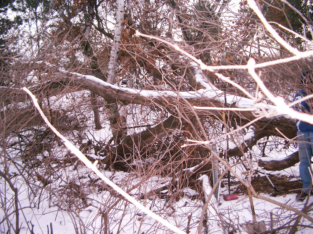
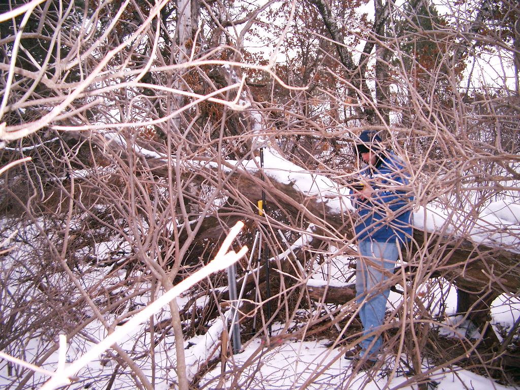
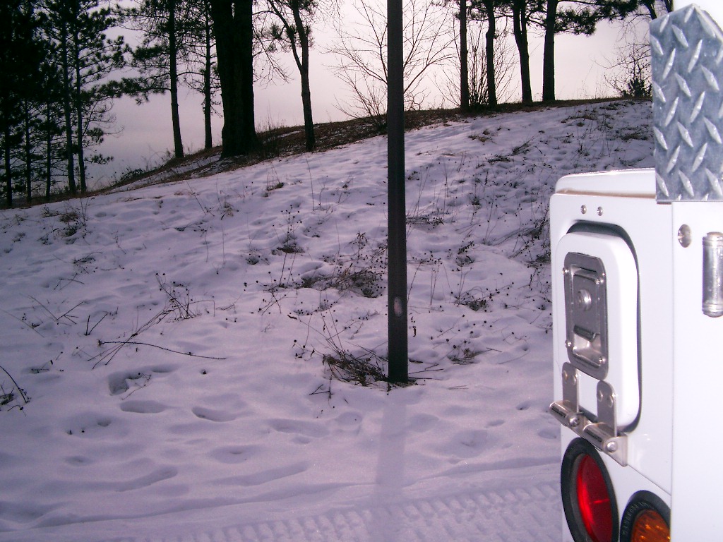
3807-2255-10.jpg
|
February 7, 2006
|
Northeast tie. Allen head bolt in the light post.
|
|
3807-2255-1.jpg
|
February 7, 2006
|
Close-up of the granite monument.
|