| NAD83 COORDINATES (1986 adj.): |
|---|
| X= 575758.458 Y= 149177.698 Z= 871.3 03/29/2006 RTK-VRS |
| X= 575758.57 Y= 149177.72 Z= 871.3 01/05/2007 RTK-VRS |
| 1/5/2007 | Placed ties. See CofL 3818-2629-A Position on GM established by RTK-VRS GPS. Elev 871.3 ft. |
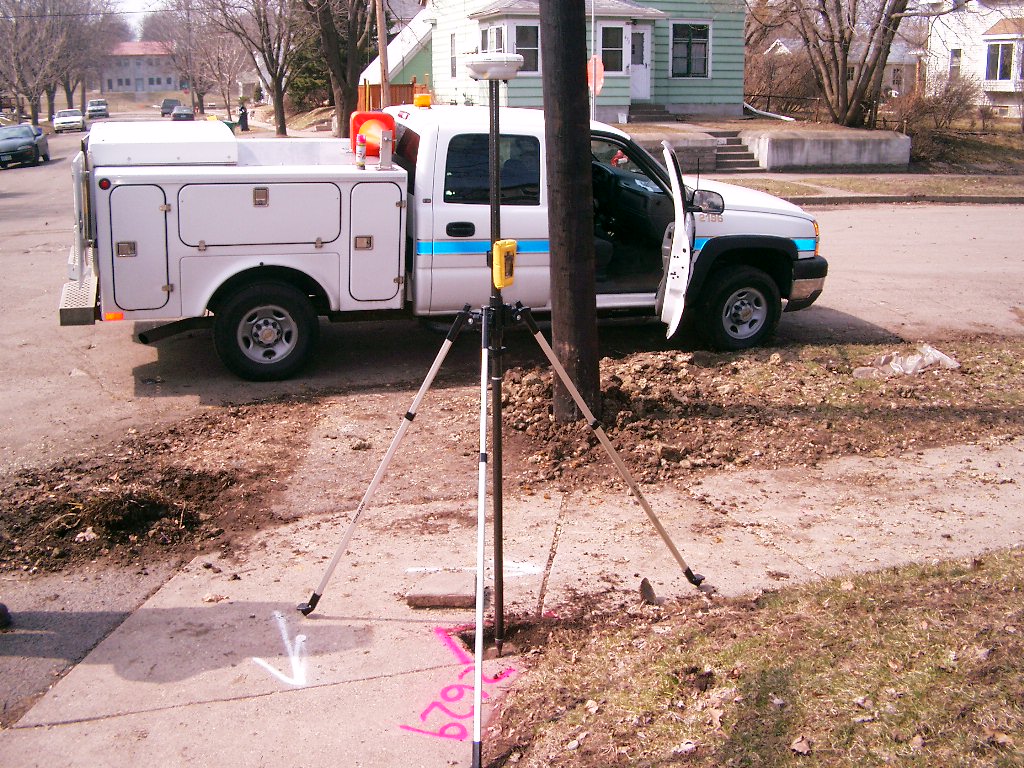
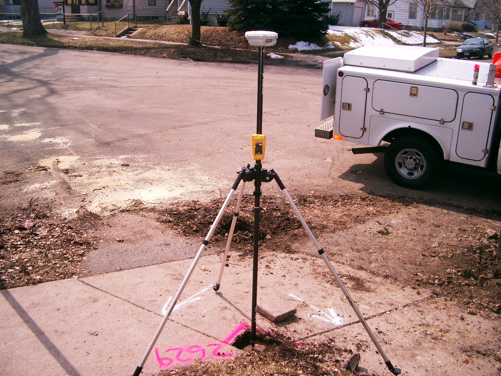
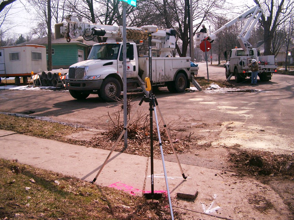
| 3/29/2006 | Position on GM established by RTK-VRS GPS. Elev 871.3 ft. Photos taken. |
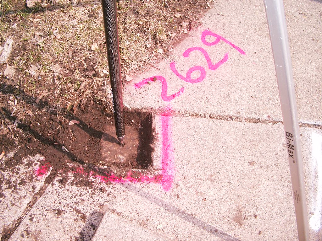
| 11/8/2005 | Fd GM 0.25 ft below sidewalk, placed magnet. |
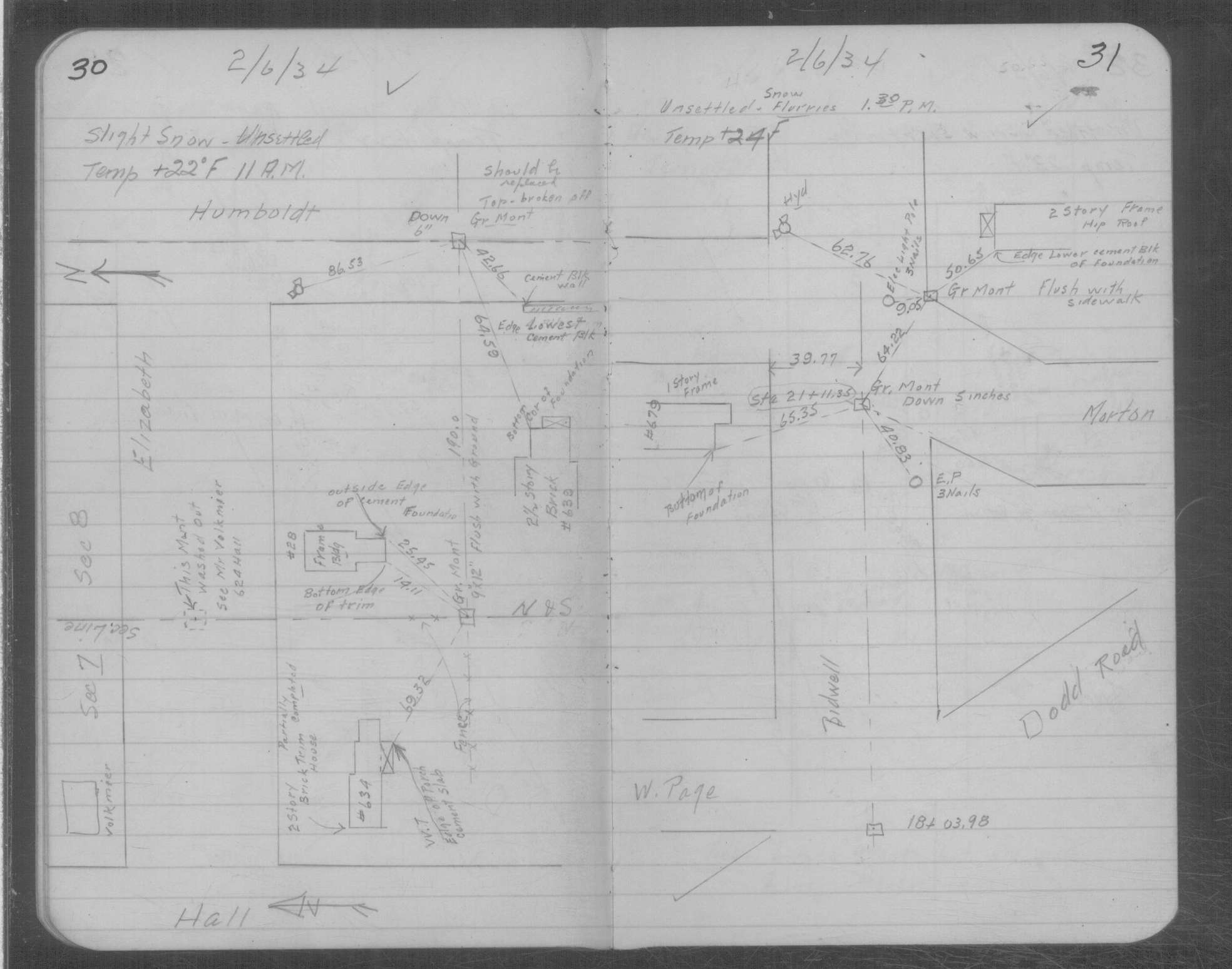
| 2/6/1934 | Placed ties on GM at sidewalk grade. See MSX 1 p.30-31 |
| 12/9/1892 | Monument set by J B Irvine |
Above is NOT an all inclusive history of this point. Please review all the links below.
| PLS NOTES | Field | Cross Section | Sewer | J.B. Irvine | Monument | River Survey |
|---|---|---|---|---|---|---|
| MSX 0001 p.030-031 |
| FILE | SURVEYOR | LIC. NO. | DATE SIGNED | DATE TIED |
|---|---|---|---|---|
| 3818-2629-A.tif | none | none | none | January 5, 2007 |
| FILE | PHOTO DATE | COMMENTS |
|---|---|---|
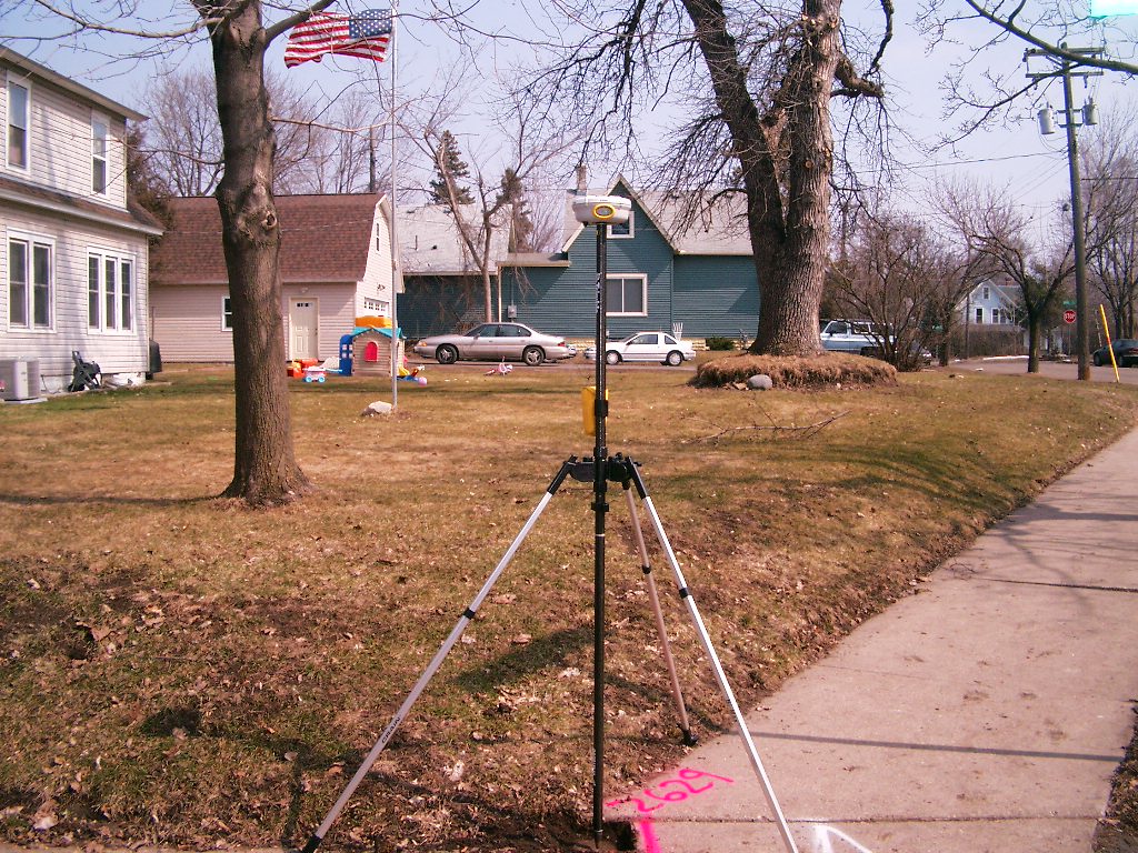
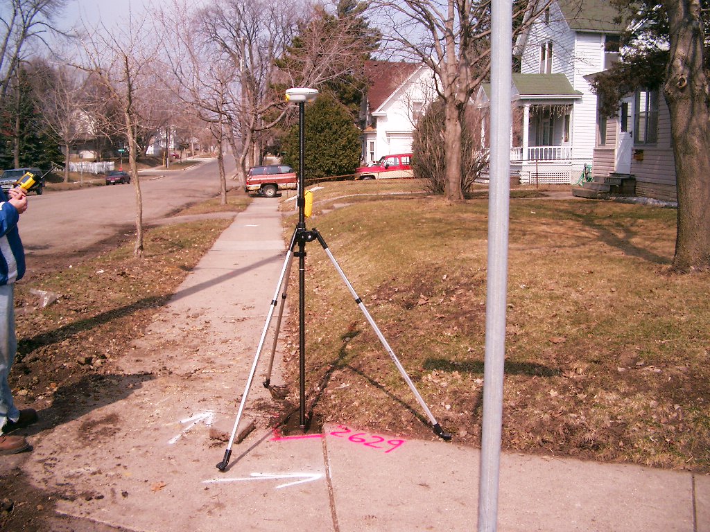
| 3818-2629-6.jpg | March 29, 2006 | Looking West along the North side of Morton St. |
| 3818-2629-5.jpg | March 29, 2006 | Looking Southwest at the Northeast corner of Bidwell Ave. & Morton St. |
| 3818-2629-4.jpg | March 29, 2006 | Looking South along the East side of Bidwell Ave. |
| 3818-2629-3.jpg | March 29, 2006 | Looking East along the North side of Morton St. |
| 3818-2629-2.jpg | March 29, 2006 | Looking North along the East side of Bidwell Ave. |
| 3818-2629-1.jpg | March 29, 2006 | Close-up of the granite monument. |