|
FILE
|
PHOTO DATE
|
COMMENTS
|
|
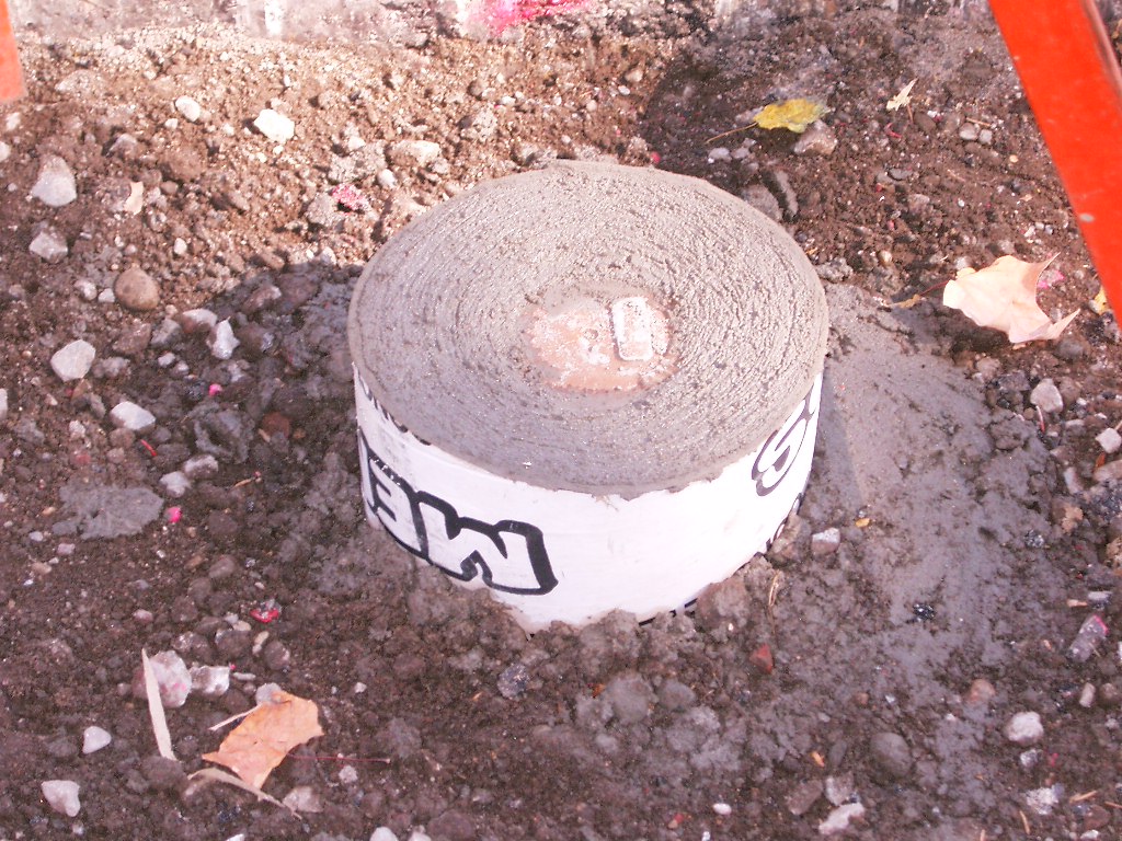
3819-0831B-9.jpg
|
October 10, 2006
|
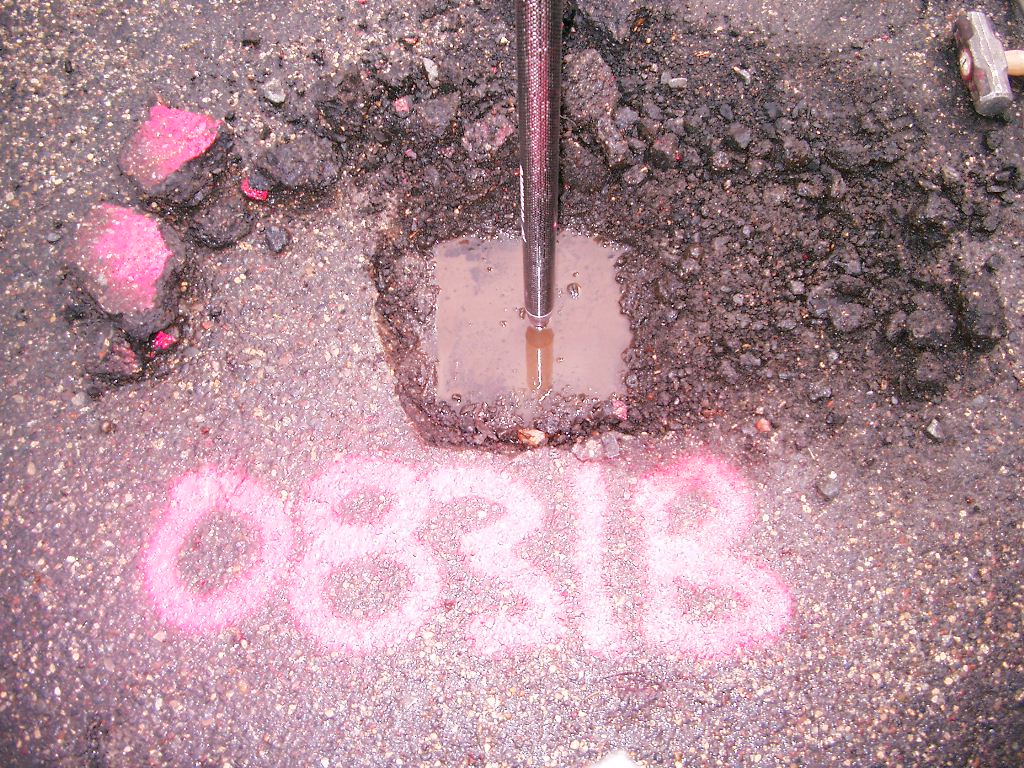
Close-up of the new CIM that replaced the GM.
|
|
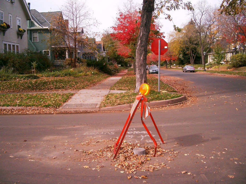
3819-0831B-16.jpg
|
October 10, 2006
|
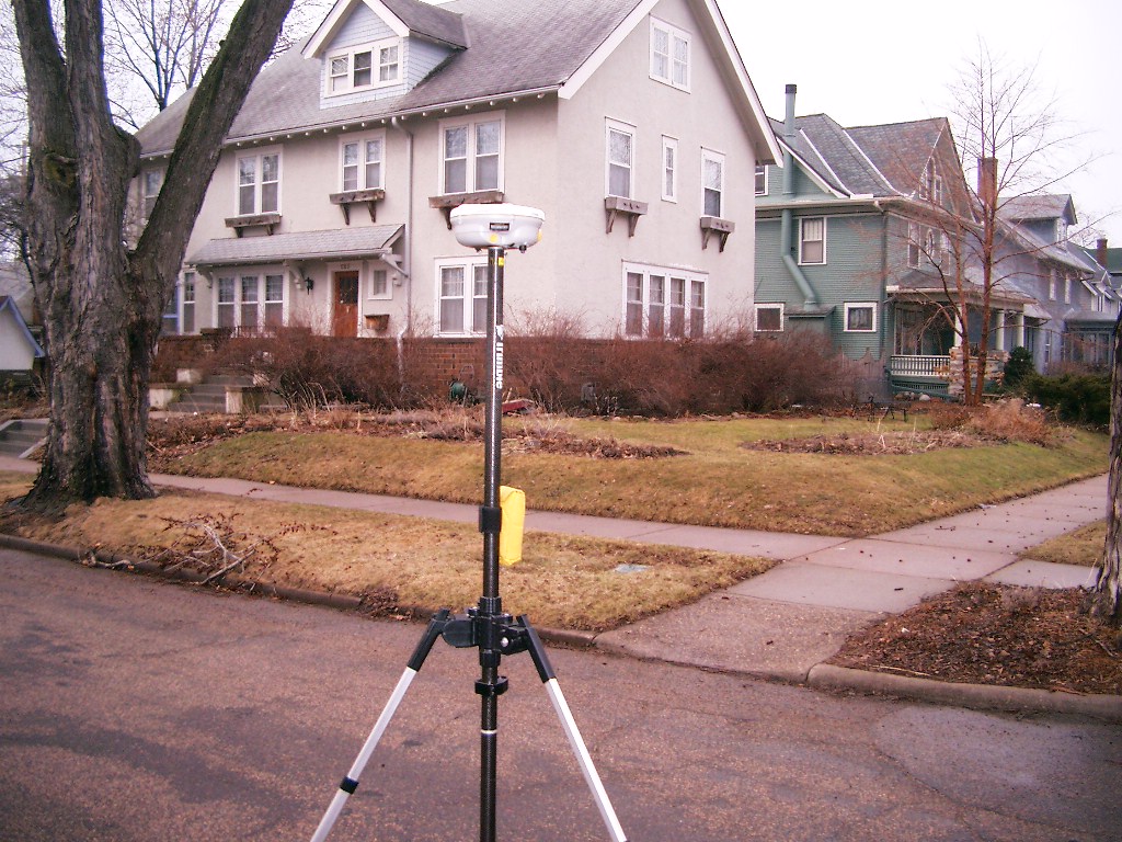
Looking West from the South side of Goodrich Ave.
|
|
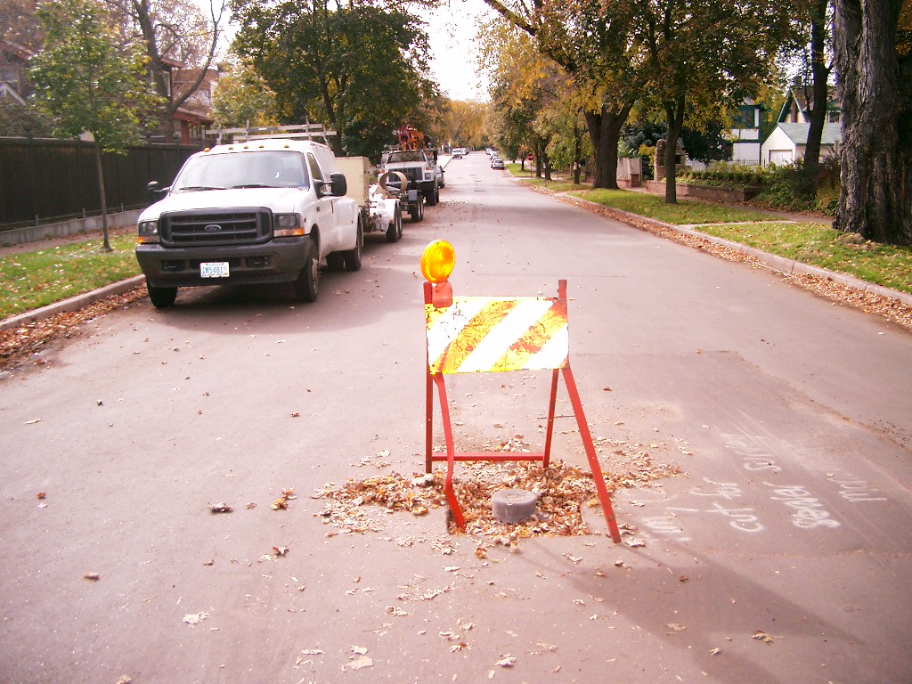
3819-0831B-15.jpg
|
October 10, 2006
|
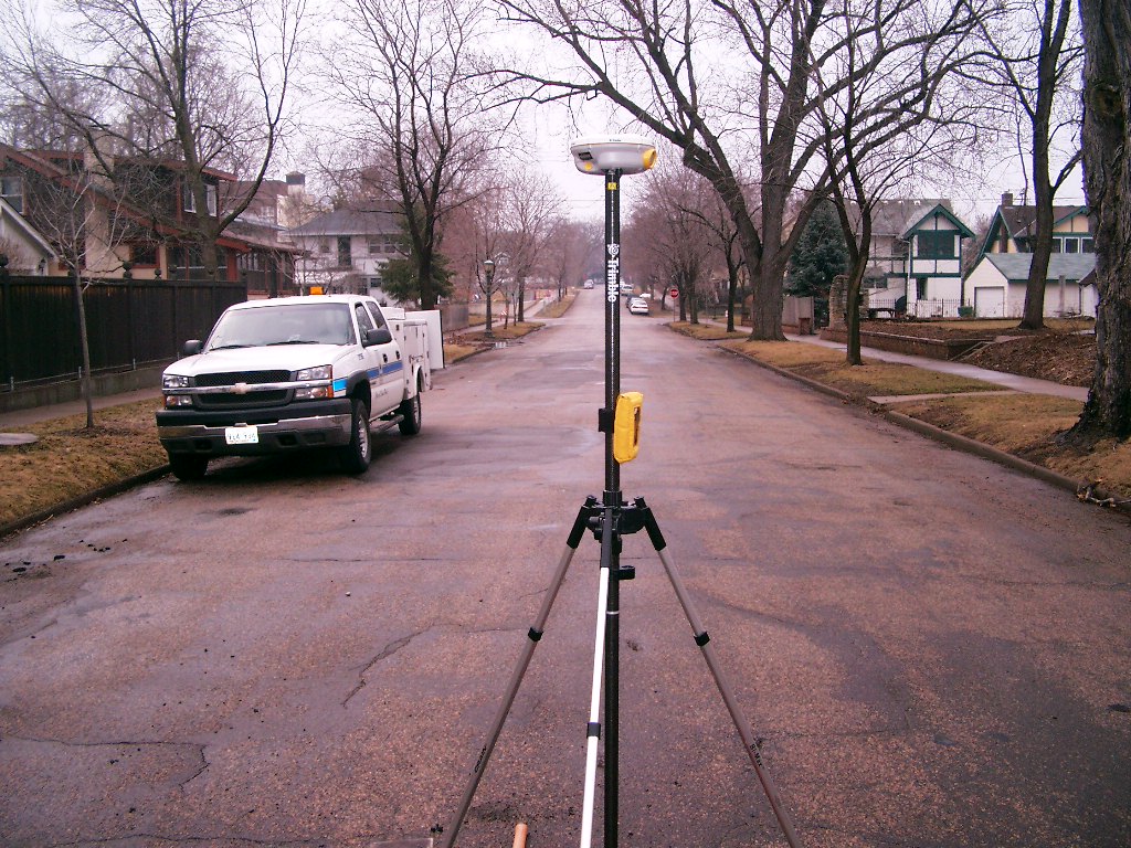
Looking South along the center of Oxford St.
|
|
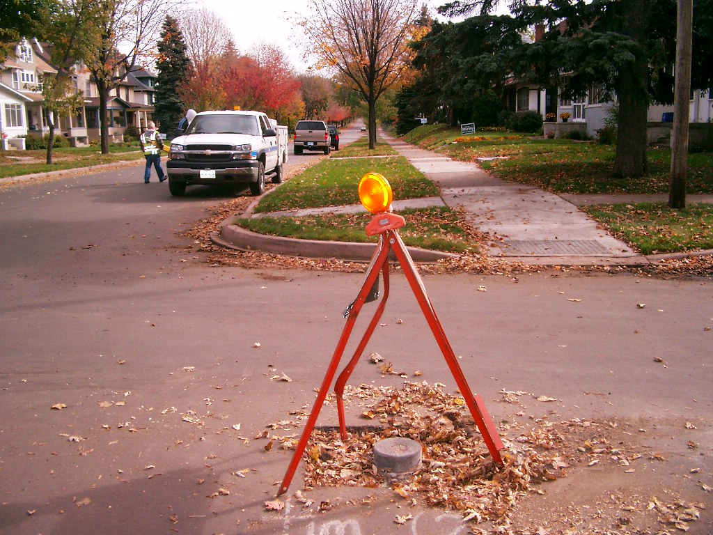
3819-0831B-14.jpg
|
October 10, 2006
|
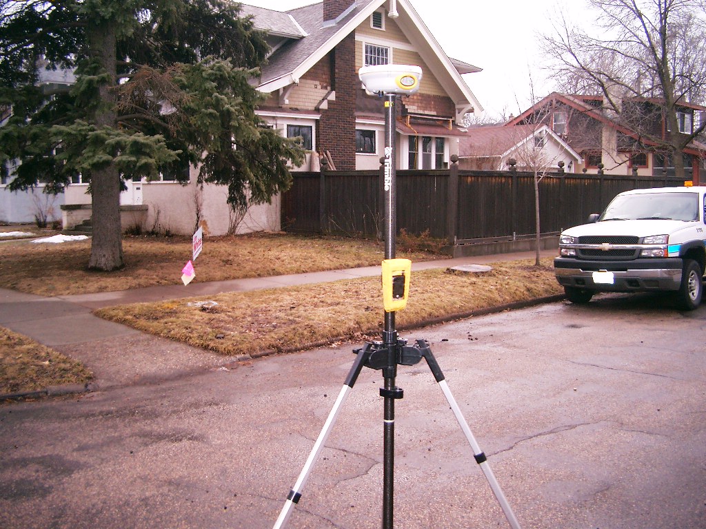
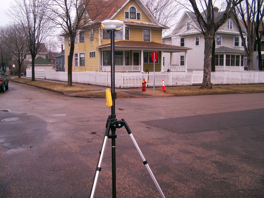
Looking East from the South side of Goodrich Ave.
|
|
3819-0831B-13.jpg
|
October 10, 2006
|
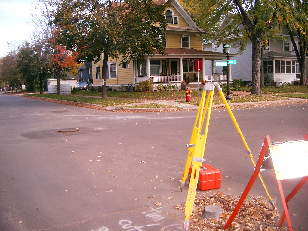
Looking Northeasterly from the center of Oxford St. & the South side of Goodrich Ave.
|
|
3819-0831B-8.jpg
|
March 30, 2006
|
Looking Southwesterly from the center of Oxford St. & the South side of Goodrich Ave.
|
|
3819-0831B-7.jpg
|
March 30, 2006
|
Looking South along the center of Oxford St.
|
|
3819-0831B-6.jpg
|
March 30, 2006
|
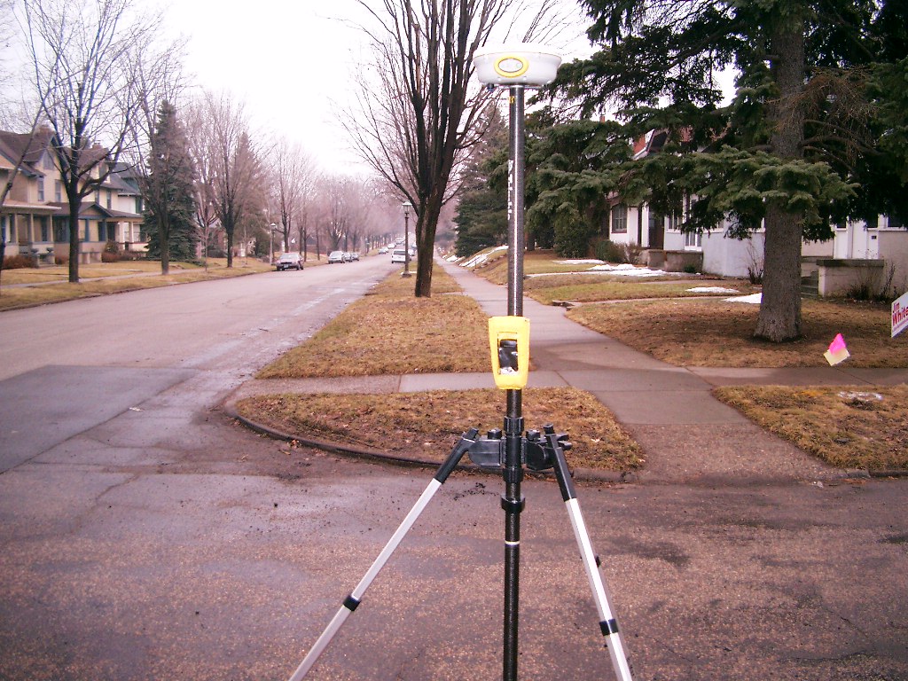
Looking Southeasterly from the center of Oxford St. & the South side of Goodrich Ave.
|
|
3819-0831B-5.jpg
|
March 30, 2006
|
Looking East from the South side of Goodrich Ave.
|
|
3819-0831B-4.jpg
|
March 30, 2006
|
Looking Northeasterly from the center of Oxford St. & the South side of Goodrich Ave.
|
|
3819-0831B-3.jpg
|
March 30, 2006
|
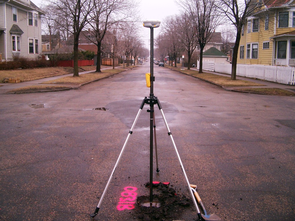
Looking North along the center of Oxford St.
|
|
3819-0831B-2.jpg
|
March 30, 2006
|
Close-up of the granite monument.
|