| NAD83 COORDINATES (1986 adj.): |
|---|
| X= 566623.576 Y= 153441.055 Z= 907.5 03/30/2006 RTK-VRS |
| 1/7/2010 | Placed mag nail in hole of GM |
| 3/30/2006 | Position on GM established by RTK-VRS GPS. Elev 907.5 ft. Photos taken. |
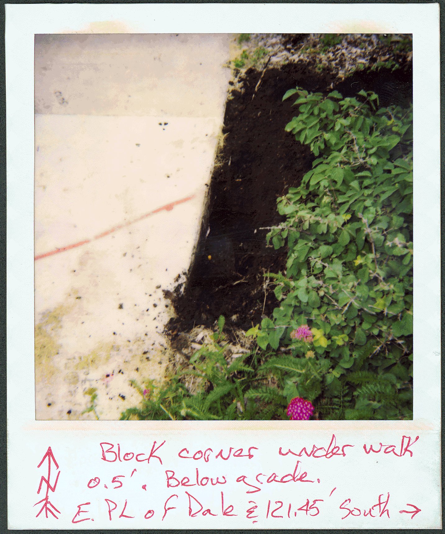
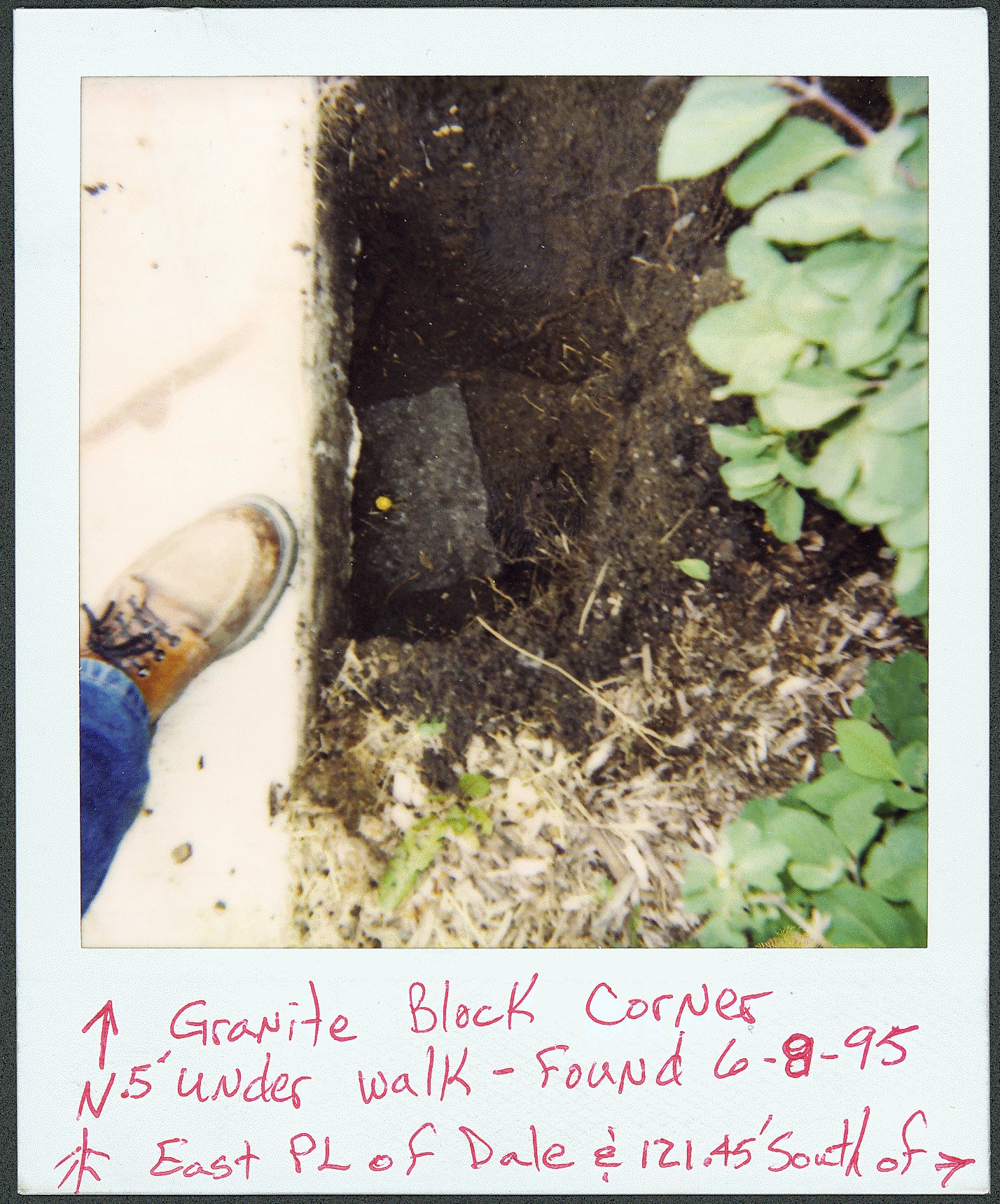
| 6/8/1995 | Placed ties on GM. See FB 1725 p.29 Photos taken. |
Above is NOT an all inclusive history of this point. Please review all the links below.
| PLS NOTES | Field | Cross Section | Sewer | J.B. Irvine | Monument | River Survey |
|---|---|---|---|---|---|---|
| FB 1725p.29 |
| FILE | PHOTO DATE | COMMENTS |
|---|---|---|
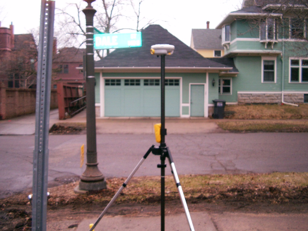
| 3822-__bb-7.jpg | March 30, 2006 | Looking West from the East side of Dale St. |
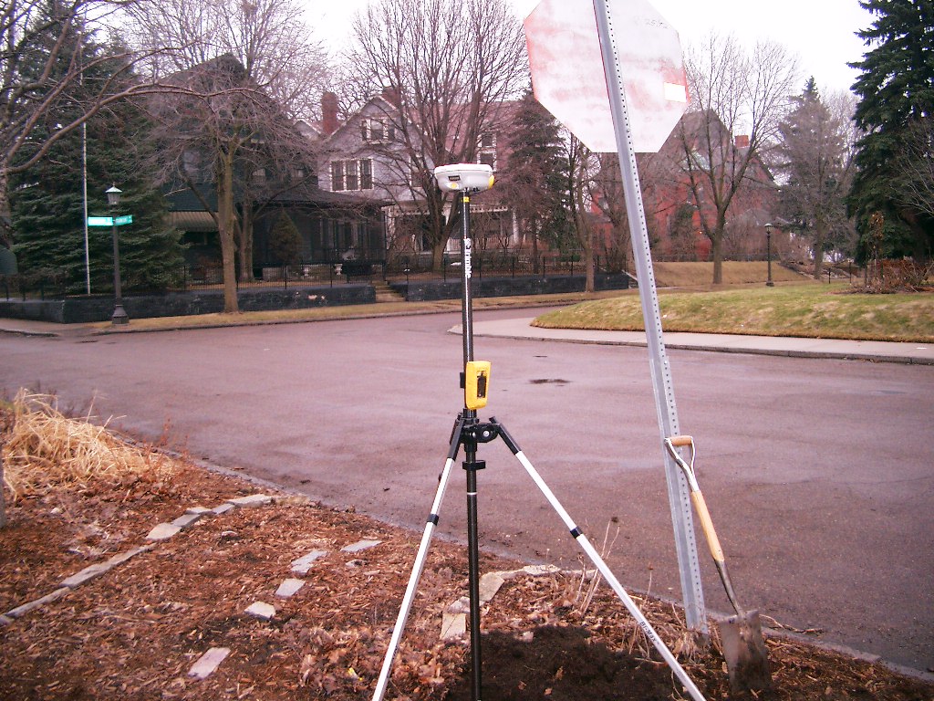
| 3822-__bb-6.jpg | March 30, 2006 | Looking Southwesterly from the East side of Dale St. |
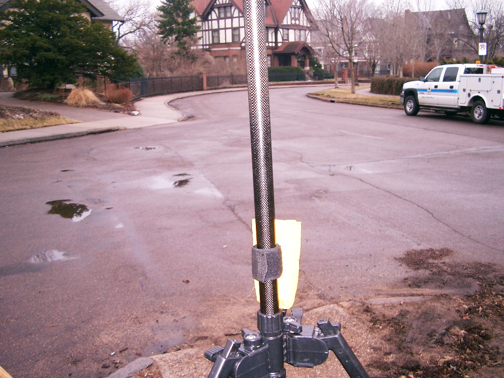
| 3822-__bb-5.jpg | March 30, 2006 | Looking East from the East side of Dale St. |
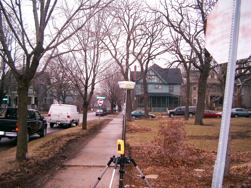
| 3822-__bb-4.jpg | March 30, 2006 | Looking North along the East side of Dale St. |
| 3822-__bb-3.jpg | March 30, 2006 | Close-up of the granite monument. |
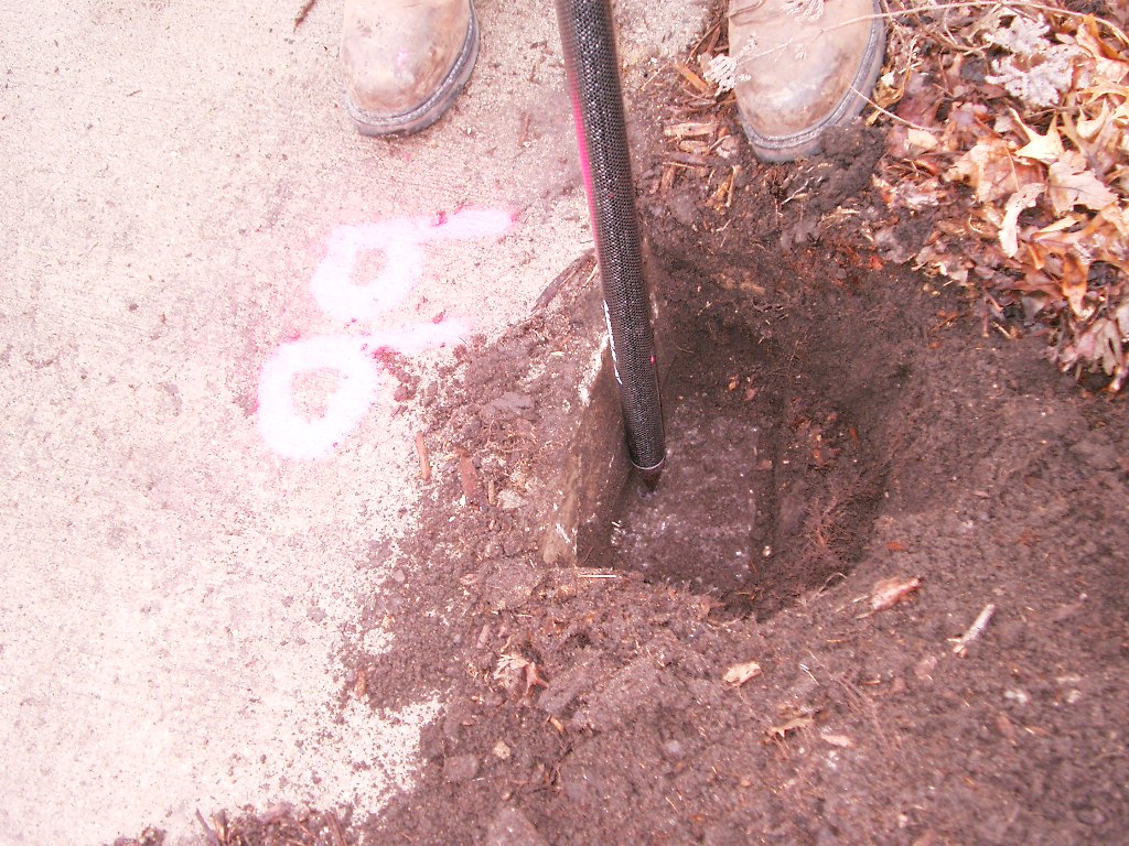
| 3822-__bb-9.jpg | June 8, 1995 | Close-up of the granite monument. |
| 3822-__bb-10.jpg | June 8, 1995 | Close-up of the granite monument. |