| NAD83 COORDINATES (1986 adj.): |
|---|
| X= 579959.383 Y= 148561.765 Z= 857.3 03/30/2006 RTK-VRS |
| X= 579959.38 Y= 148561.68 Z= 857.2 11/12/2009 RTK-VRS |
| 11/12/2009 | Position on GM established by RTK-VRS GPS. Elev 857.2 ft. |
| 10/30/2009 | Placed ties on the GM. See CofL 3823-0671-A.pdf |
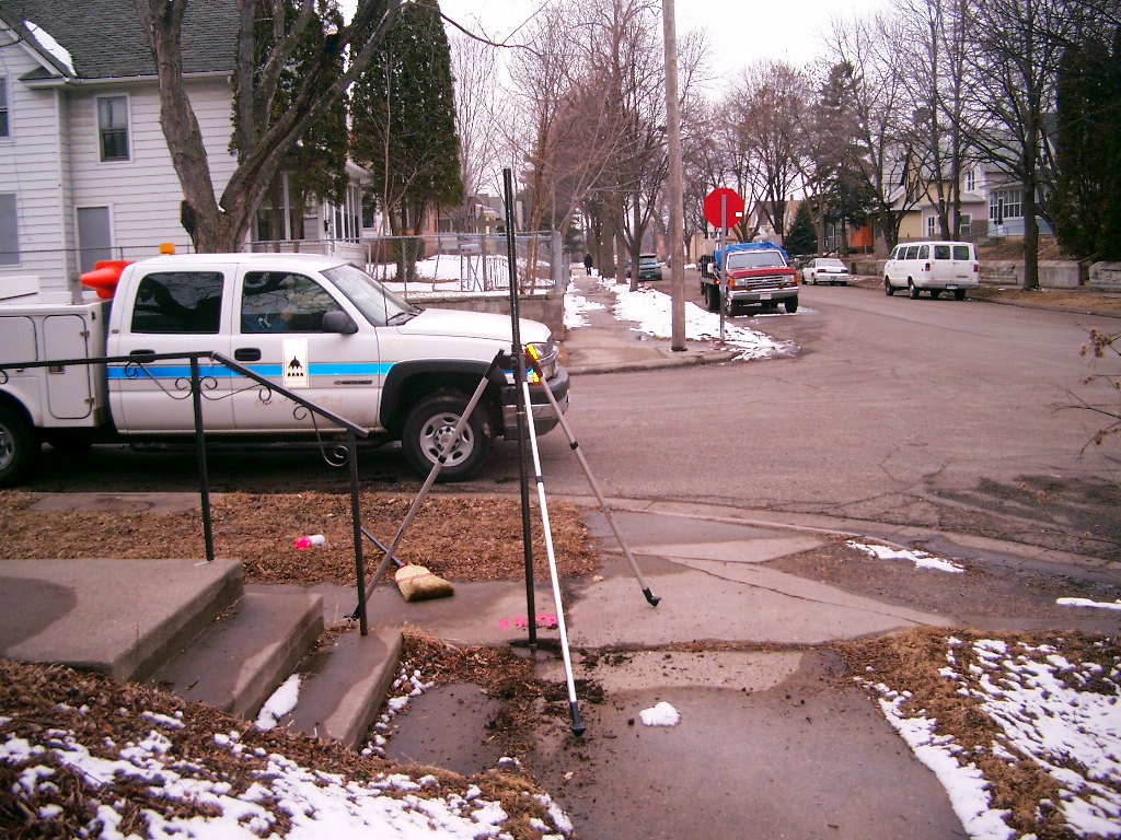
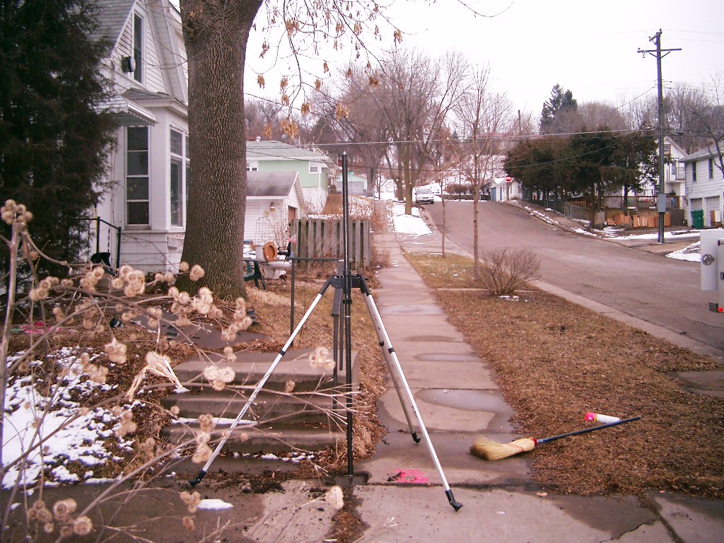
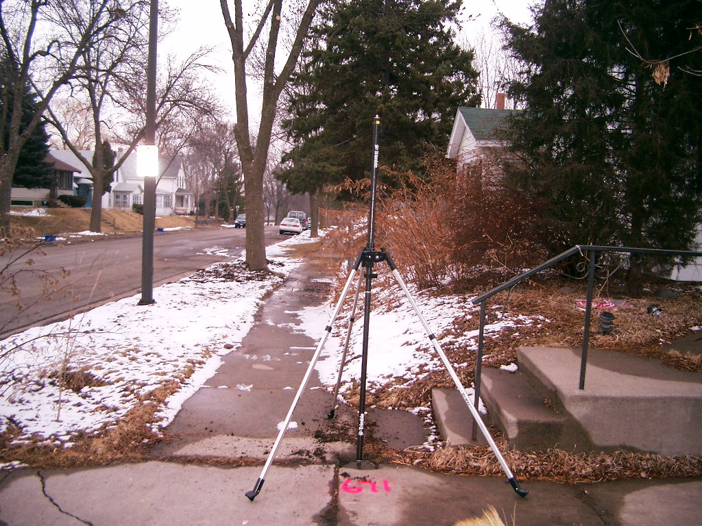
| 7/3/2009 | Photos taken. |
| 3/30/2006 | Position on GM established by RTK-VRS GPS. Elev 857.3 ft. |
| 3/8/2006 | Placed a magnet in the GM. Photos taken. |
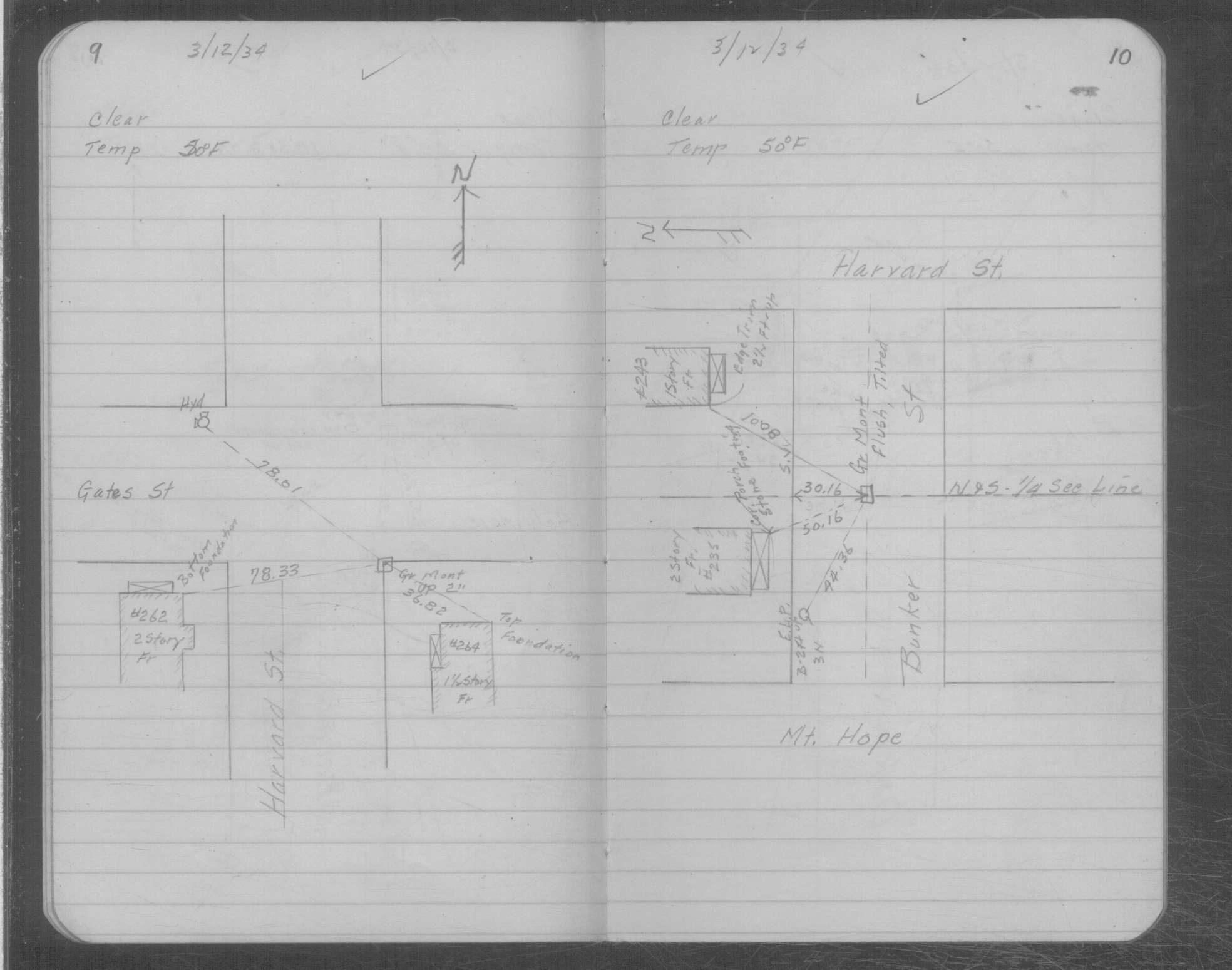
| 3/12/1934 | Placed ties on GM two inches above grade. See MSX 2 p.9-10 |
| 11/5/1891 | Monument reset by J B Irvine after grading |
| 1/1/1886 | (Unknown date ___ __, 1886 ) Monument set by F J McCarron |
Above is NOT an all inclusive history of this point. Please review all the links below.
| PLS NOTES | Field | Cross Section | Sewer | J.B. Irvine | Monument | River Survey |
|---|---|---|---|---|---|---|
| MSX 0002 p.009-010 |
| FILE | SURVEYOR | LIC. NO. | DATE SIGNED | DATE TIED |
|---|---|---|---|---|
| 3823-0671-A.pdf | Samuel D. Gibson | 44880 | November 6, 2009 | October 30, 2009 |
| FILE | PHOTO DATE | COMMENTS |
|---|---|---|
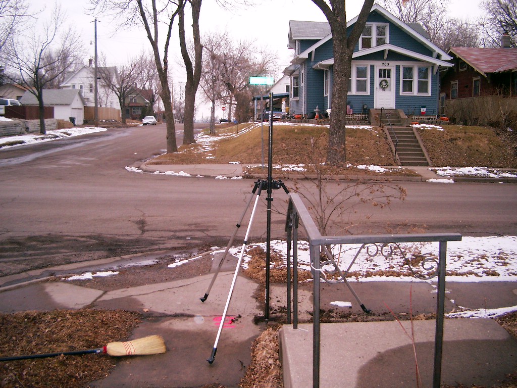
| 3823-0671-5.jpg | March 8, 2006 | Looking West along the South side of Sidney St. |
| 3823-0671-4.jpg | March 8, 2006 | Looking South along the East side of Harvard St. |
| 3823-0671-3.jpg | March 8, 2006 | Looking East along the South side of Sidney St. |
| 3823-0671-2.jpg | March 8, 2006 | Looking North along the East side of Harvard St. |
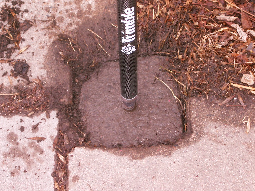
| 3823-0671-1.jpg | March 8, 2006 | Close-up of the granite monument. |