| NAD83 COORDINATES (1986 adj.): |
|---|
| X= 547942.674 Y= 164854.083 Z= 000.0 TOT 08/11/2006 STB |
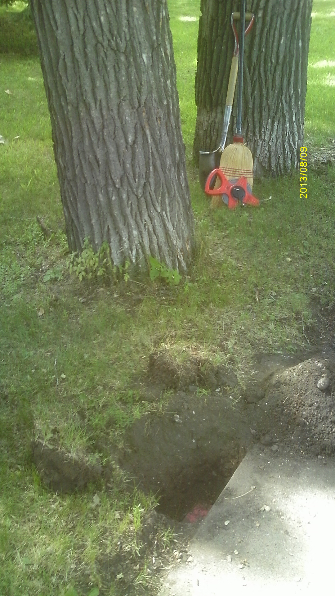
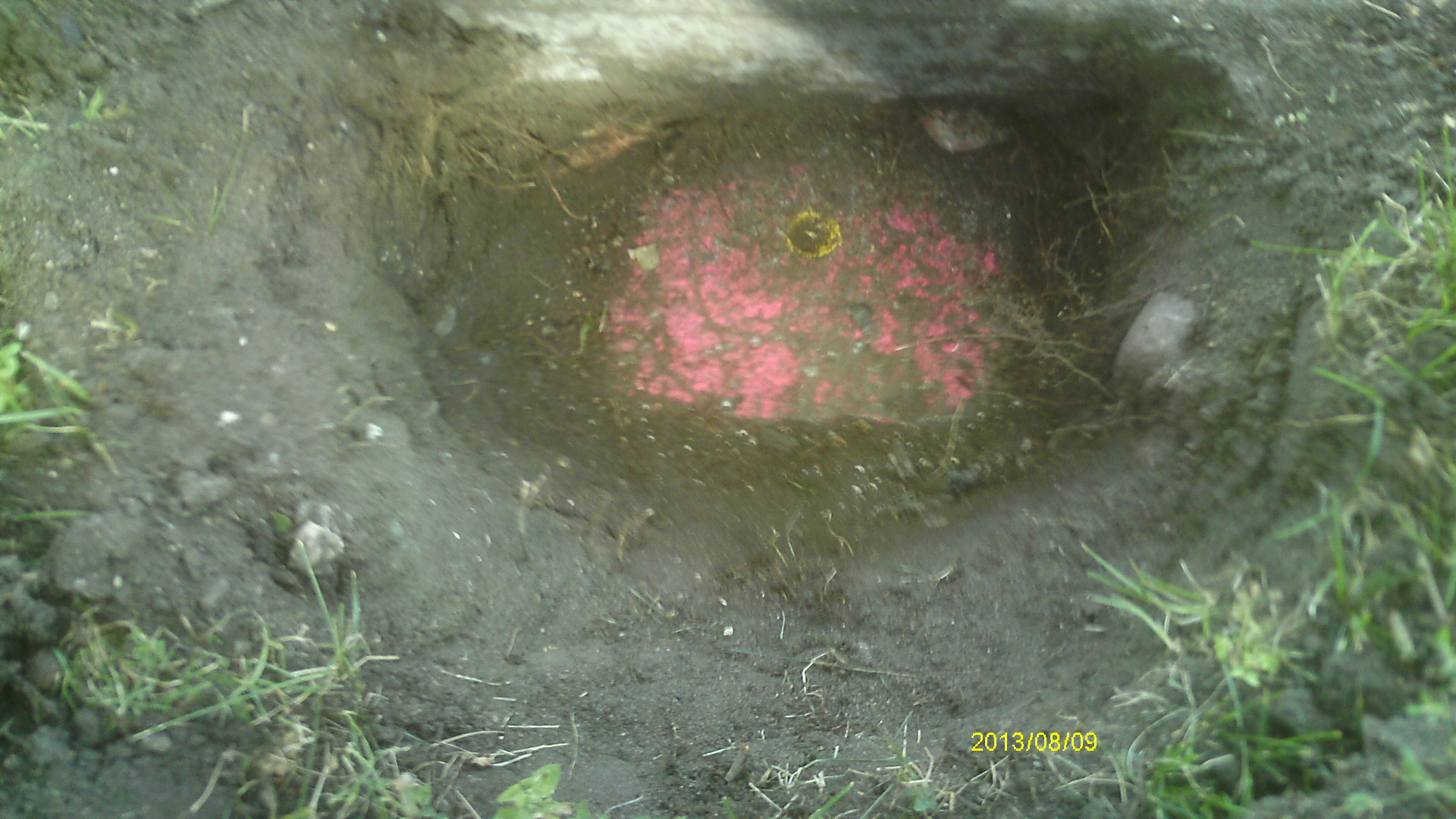
| 8/9/2013 | Found GM 0.6 ft below sidewalk grade. Photos taken and ties placed using Sokkia Set 5. |
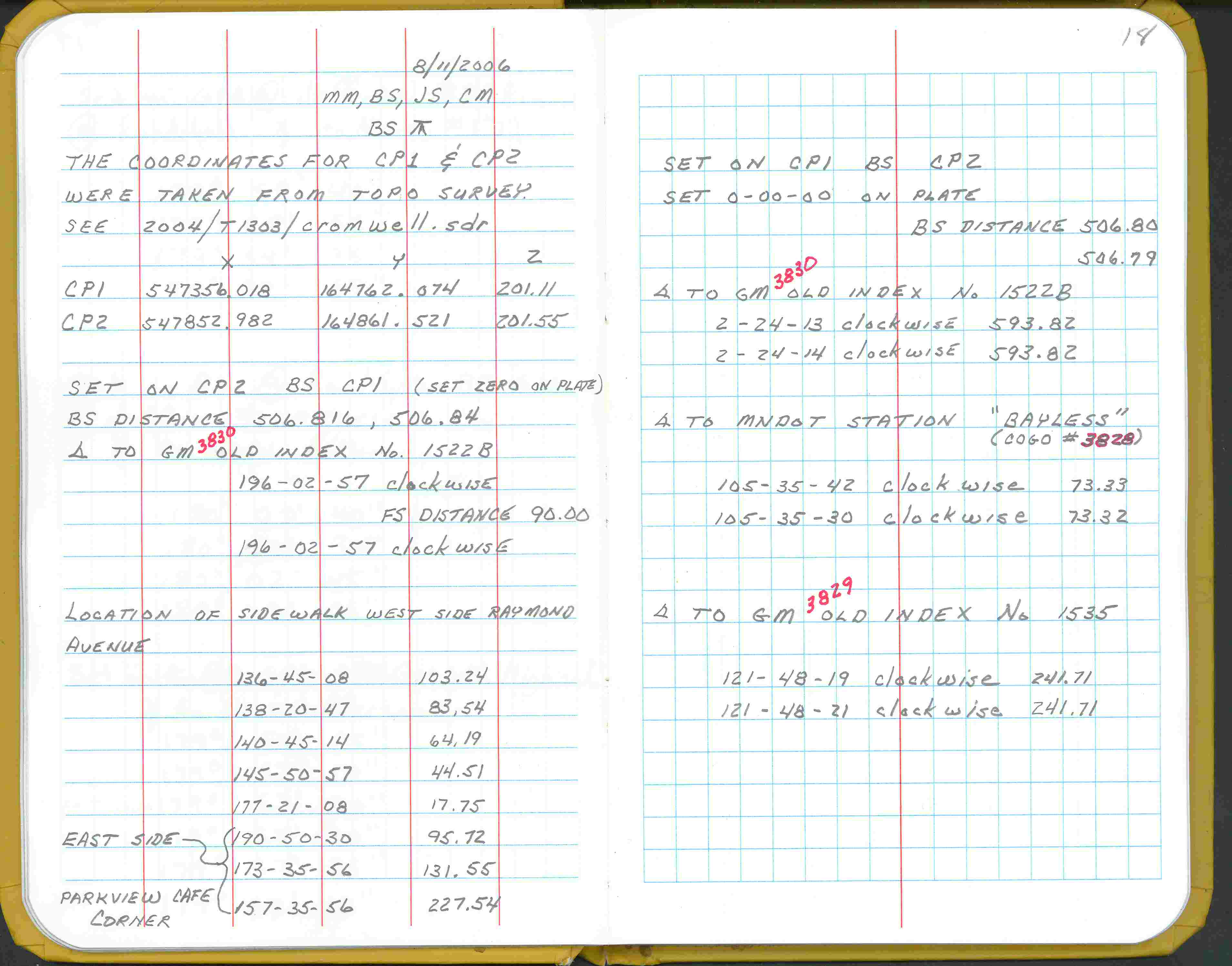
| 8/11/2006 | Fd GM at grade. Set coordinates from control points See FB 1738 p.18 |
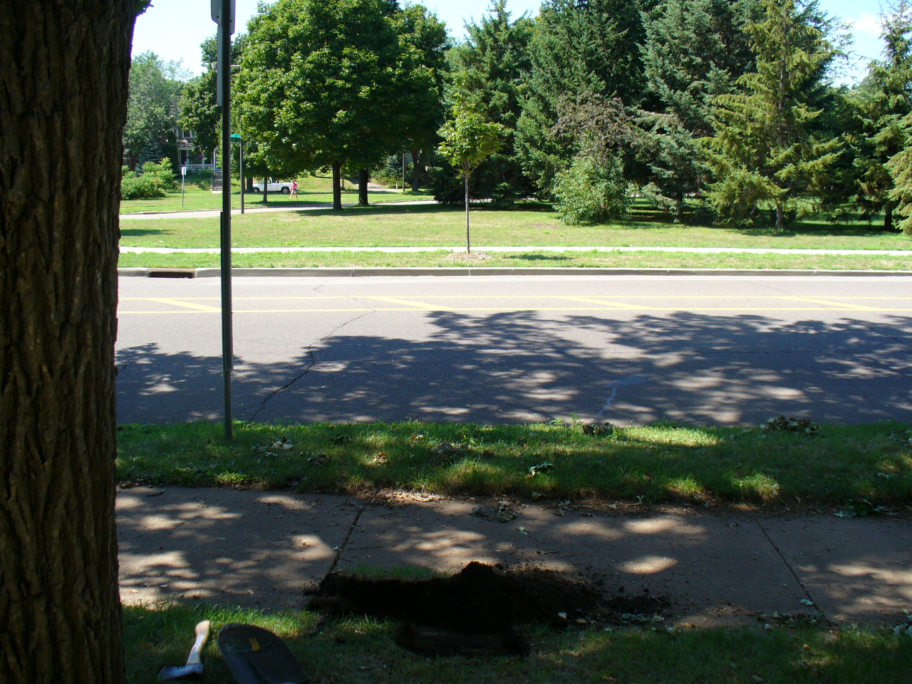
| 8/3/2006 | GM recovered 0.65 feet below sidewalk. Placed magnet in hole of GM. Photos taken. |
| 2/20/1889 | Monument set by Chas A Hunt |
Above is NOT an all inclusive history of this point. Please review all the links below.
| PLS NOTES | Field | Cross Section | Sewer | J.B. Irvine | Monument | River Survey |
|---|---|---|---|---|---|---|
| FB 1738p.18 |
| FILE | SURVEYOR | LIC. NO. | DATE SIGNED | DATE TIED |
|---|---|---|---|---|
| 3830-1522B-A.pdf | Samuel Gibson | 44880 | May 21, 2015 | August 9, 2013 |
| FILE | PHOTO DATE | COMMENTS |
|---|---|---|
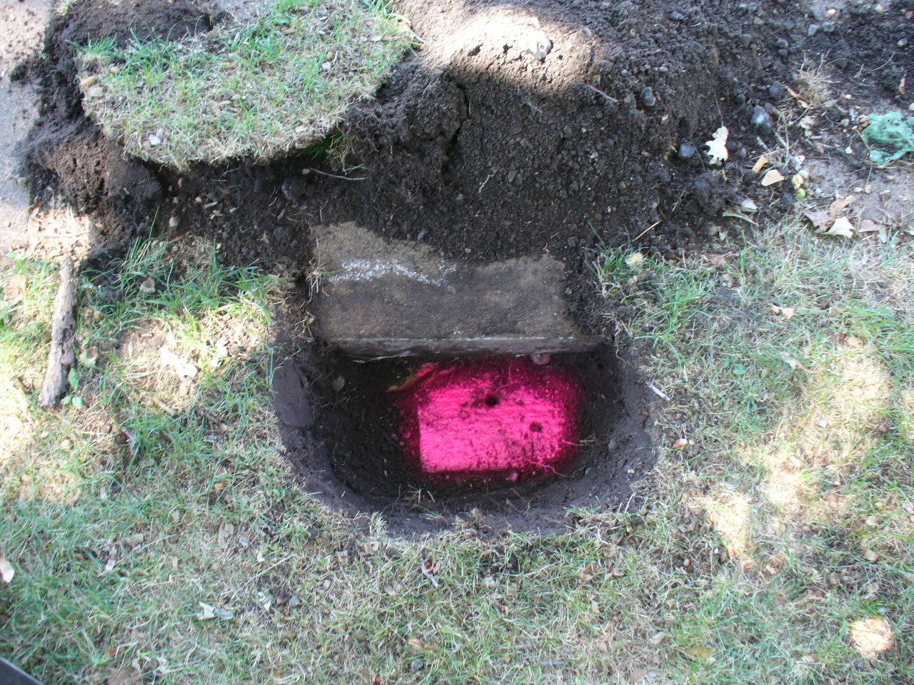
| 3830-1522B-9.jpg | August 9, 2013 | Close up of monument location. |
| 3830-1522B-8.jpg | August 9, 2013 | Close up of monument. |
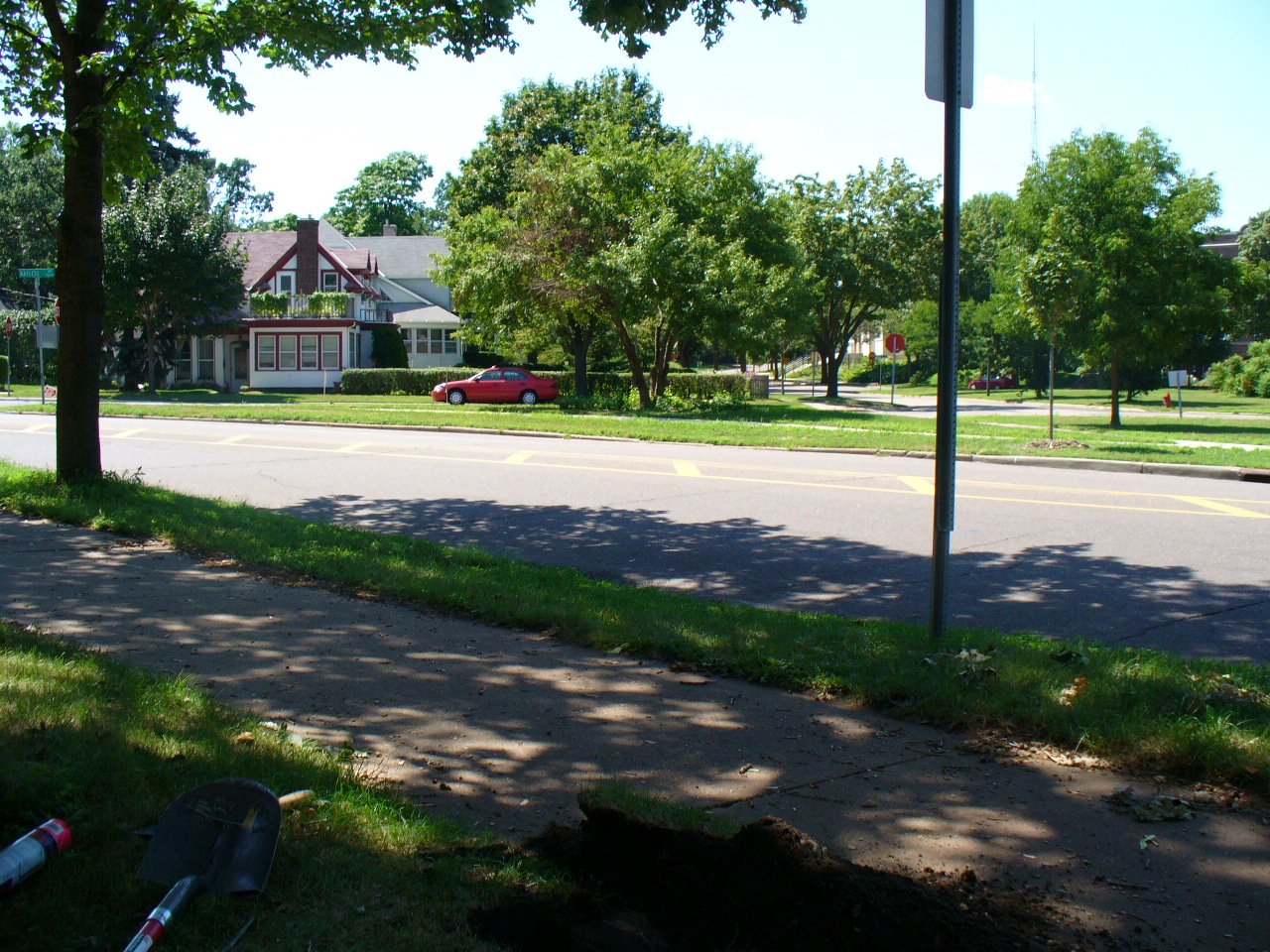
| 3830-1522B-7.jpg | August 3, 2006 | Looking Northwesterly across Raymond Ave. |
| 3830-1522B-6.jpg | August 3, 2006 | Looking Westerly towards Bayless Place. |
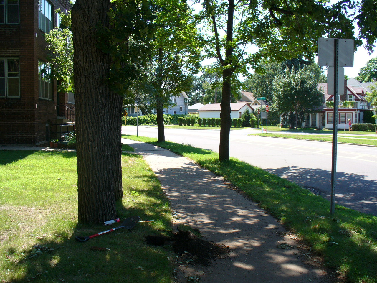
| 3830-1522B-5.jpg | August 3, 2006 | Looking Southwesterly along the East side of Raymond Ave. |
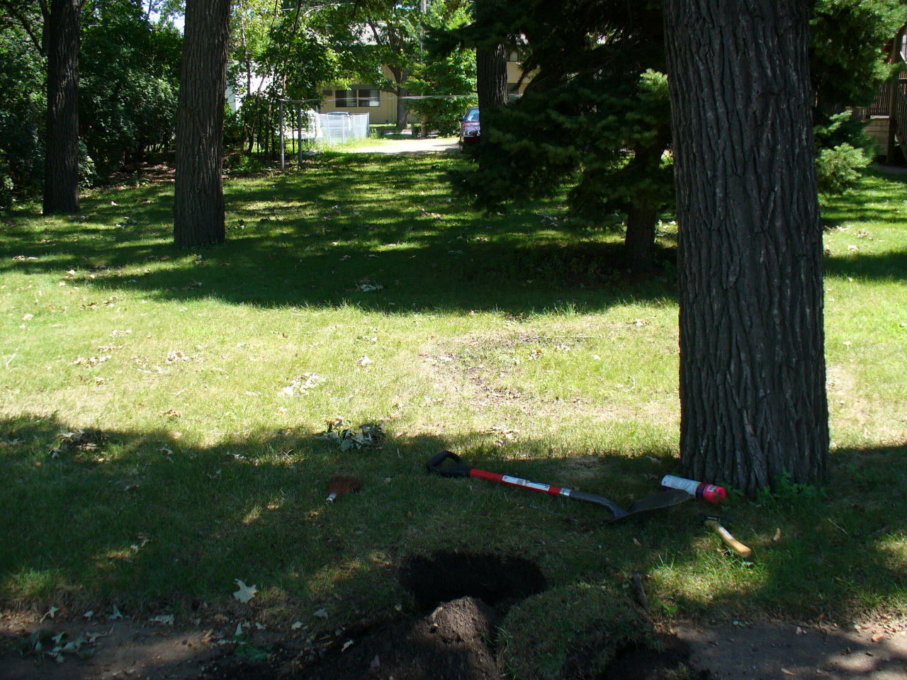
| 3830-1522B-3.jpg | August 3, 2006 | Looking Easterly from the East side of Raymond Ave. |
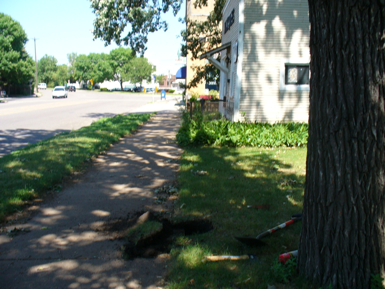
| 3830-1522B-2.jpg | August 3, 2006 | Looking Northeasterly along the East side of Raymond Ave. |
| 3830-1522B-1.jpg | August 3, 2006 | Close-up of the granite monument. |