| NAD83 COORDINATES (1986 adj.): |
|---|
| X= 579805.297 Y= 159320.238 Z= 000.0 08/25/2006 RTK-VRS |
| 8/25/2006 | Position on GM established by RTK-VRS GPS. |
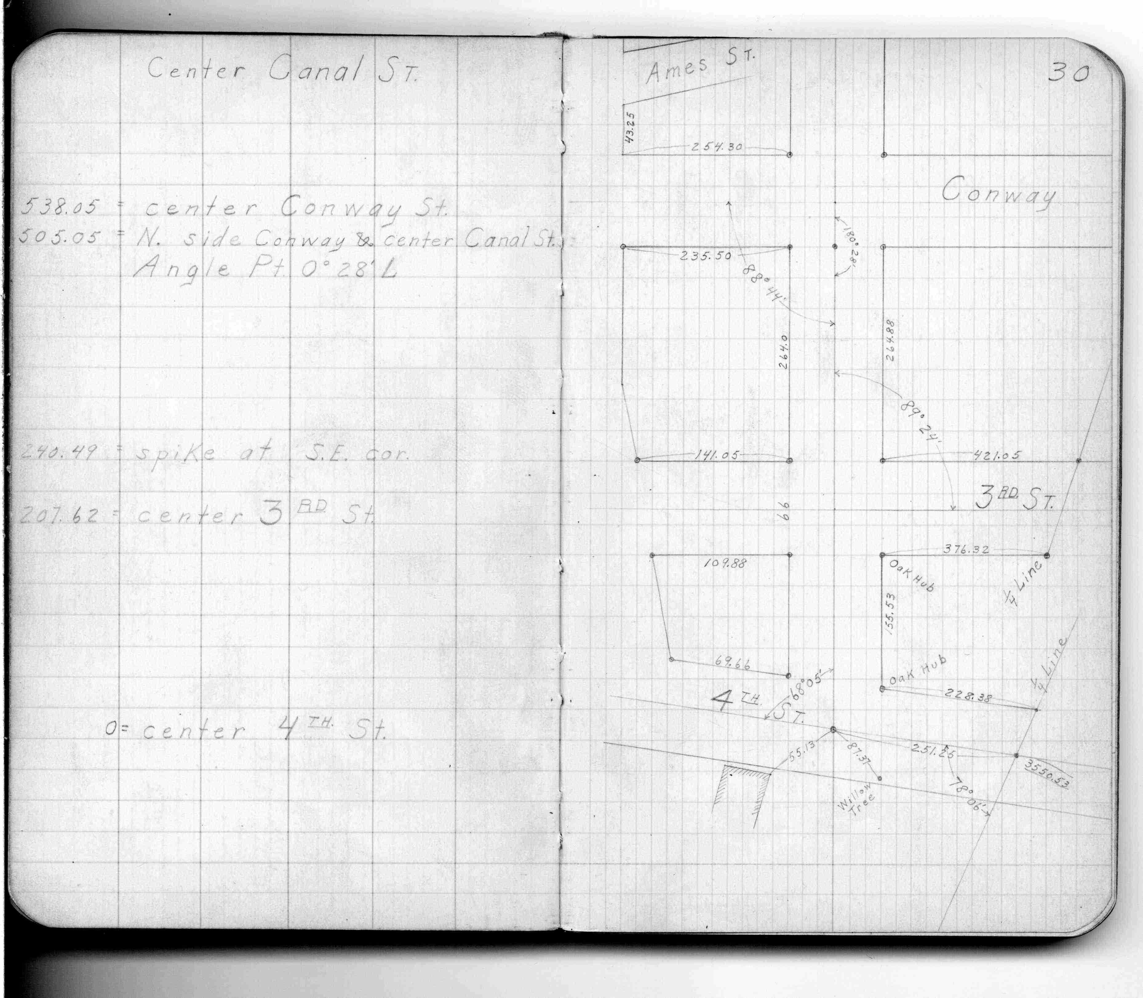
| 1/13/1890 | Monument set by J H Armstrong. See FB 299 p.30-36 |
Above is NOT an all inclusive history of this point. Please review all the links below.
| PLS NOTES | Field | Cross Section | Sewer | J.B. Irvine | Monument | River Survey |
|---|---|---|---|---|---|---|
| FB 0299p.30 |