| NAD83 COORDINATES (1986 adj.): |
|---|
| X= 563867.44 Y= 167133.31 Z= 911.3 03/26/2007 RTK-VRS |
| 4/3/2007 | Placed ties on GM. See CofL 3841-2289-A |
| 3/26/2007 | Position on GM established by RTK-VRS GPS Elev 911.3 ft. |
| 3/25/2007 | Fd GM down 0.5 ft below sidewalk. |
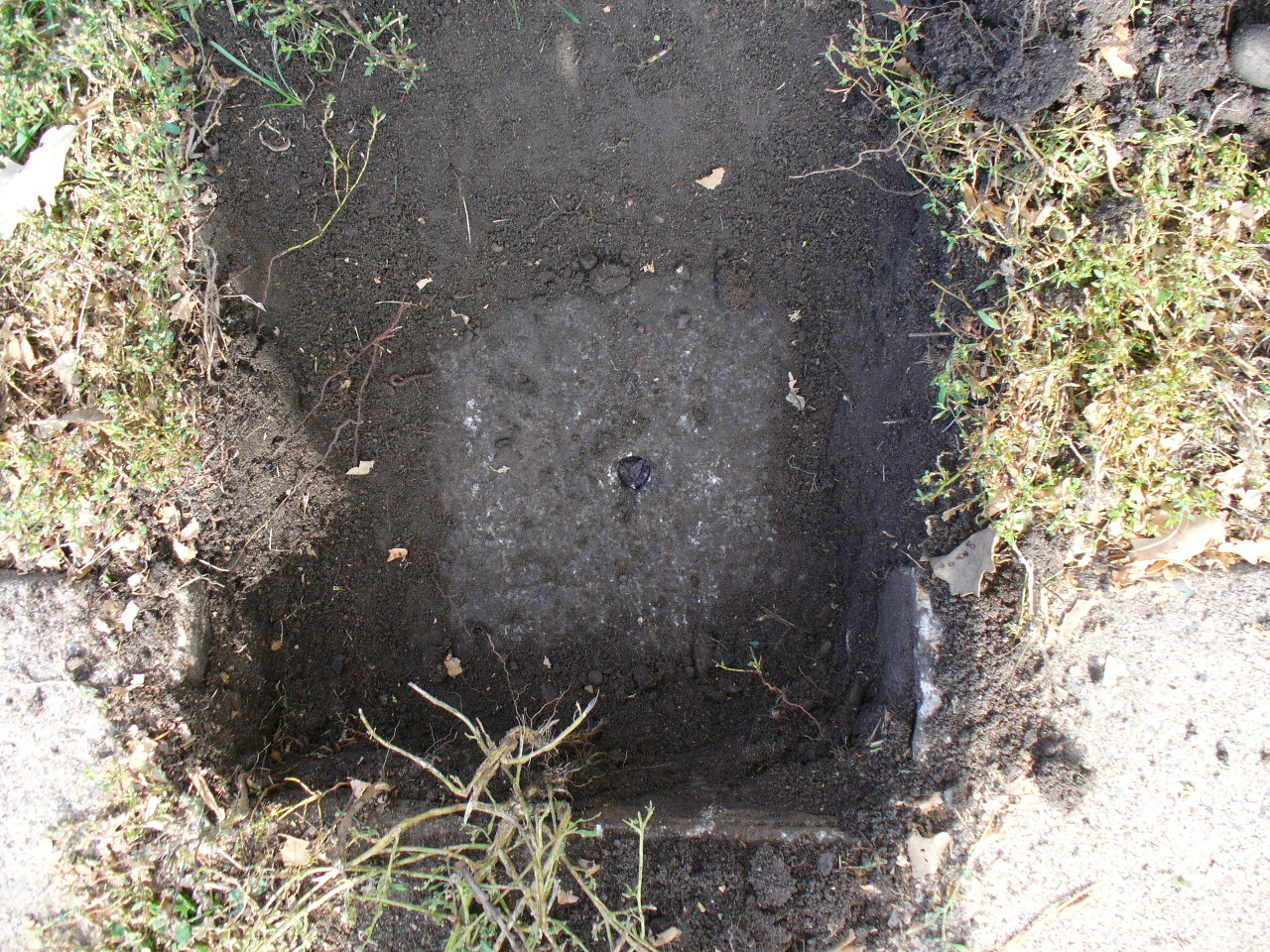
| 10/24/2006 | Fd GM down 0.4 ft below sidewalk. Fd GM below cutout in sidewalk. Placed magnet in hole. Photos taken. |
| 12/12/1892 | Monument reset by J B Irvine |
| 11/5/1891 | Monument set by J H Armstrong |
| FILE | SURVEYOR | LIC. NO. | DATE SIGNED | DATE TIED |
|---|---|---|---|---|
| 3841-2289-A.tif | none | none | none | April 3, 2007 |
| FILE | PHOTO DATE | COMMENTS |
|---|---|---|
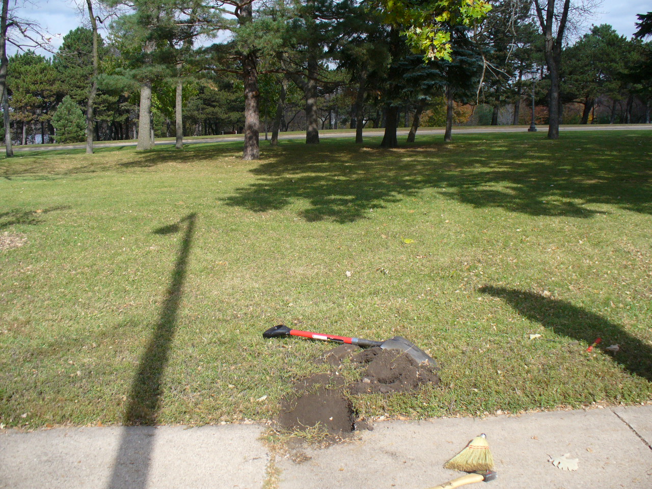
| 3841-2289-9.jpg | October 24, 2006 | Looking Southwesterly. |
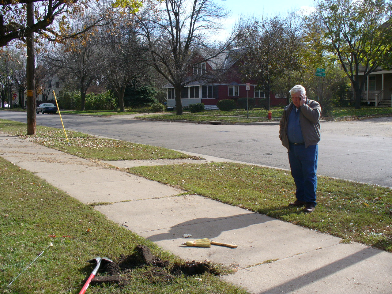
| 3841-2289-8.jpg | October 24, 2006 | Looking Southeasterly towards Como/Victoria intersection. |
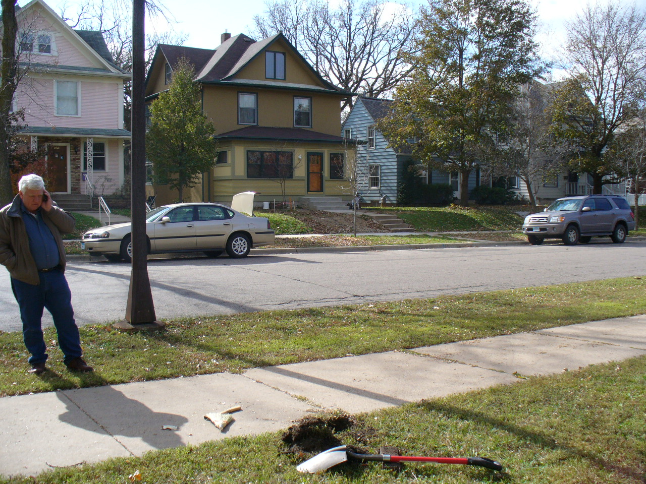
| 3841-2289-7.jpg | October 24, 2006 | Looking Northeasterly. |
| 3841-2289-6.jpg | October 24, 2006 | Looking Northwesterly. |
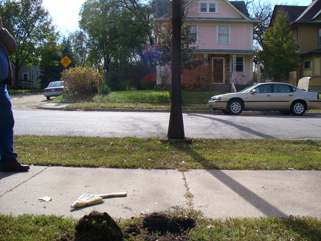
| 3841-2289-5.jpg | October 24, 2006 | Looking West along the N line of Como Ave. |
| 3841-2289-4.jpg | October 24, 2006 | Looking South. |
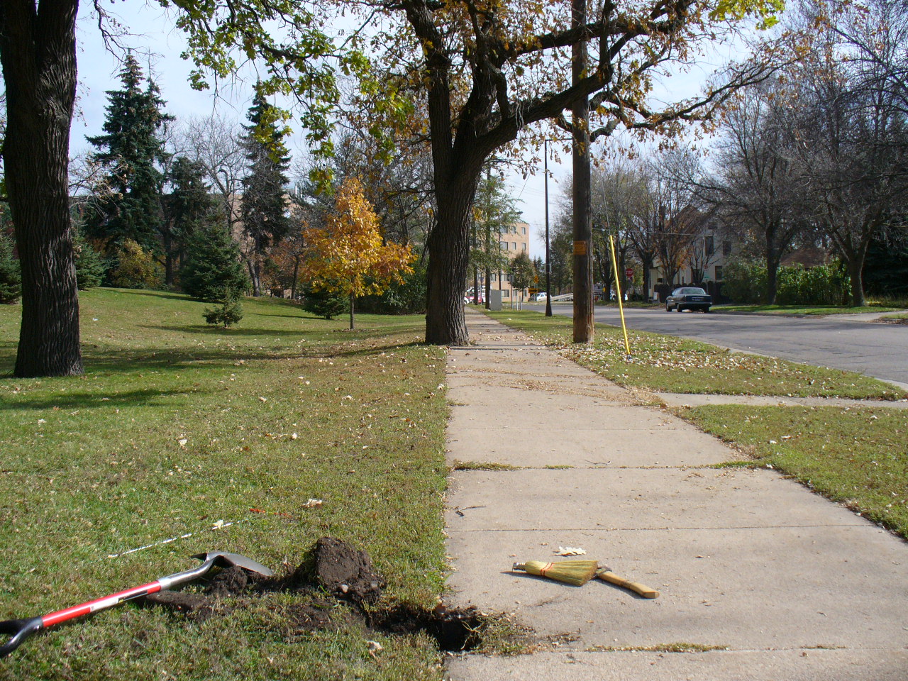
| 3841-2289-3.jpg | October 24, 2006 | Looking East along the N line of Como Ave. |
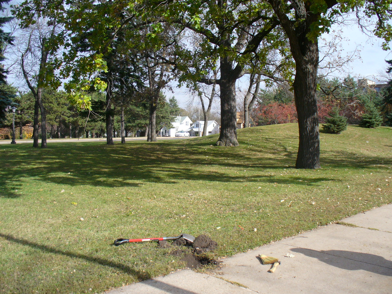
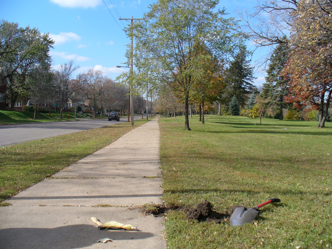
| 3841-2289-2.jpg | October 24, 2006 | Looking North towards Lake Como. |
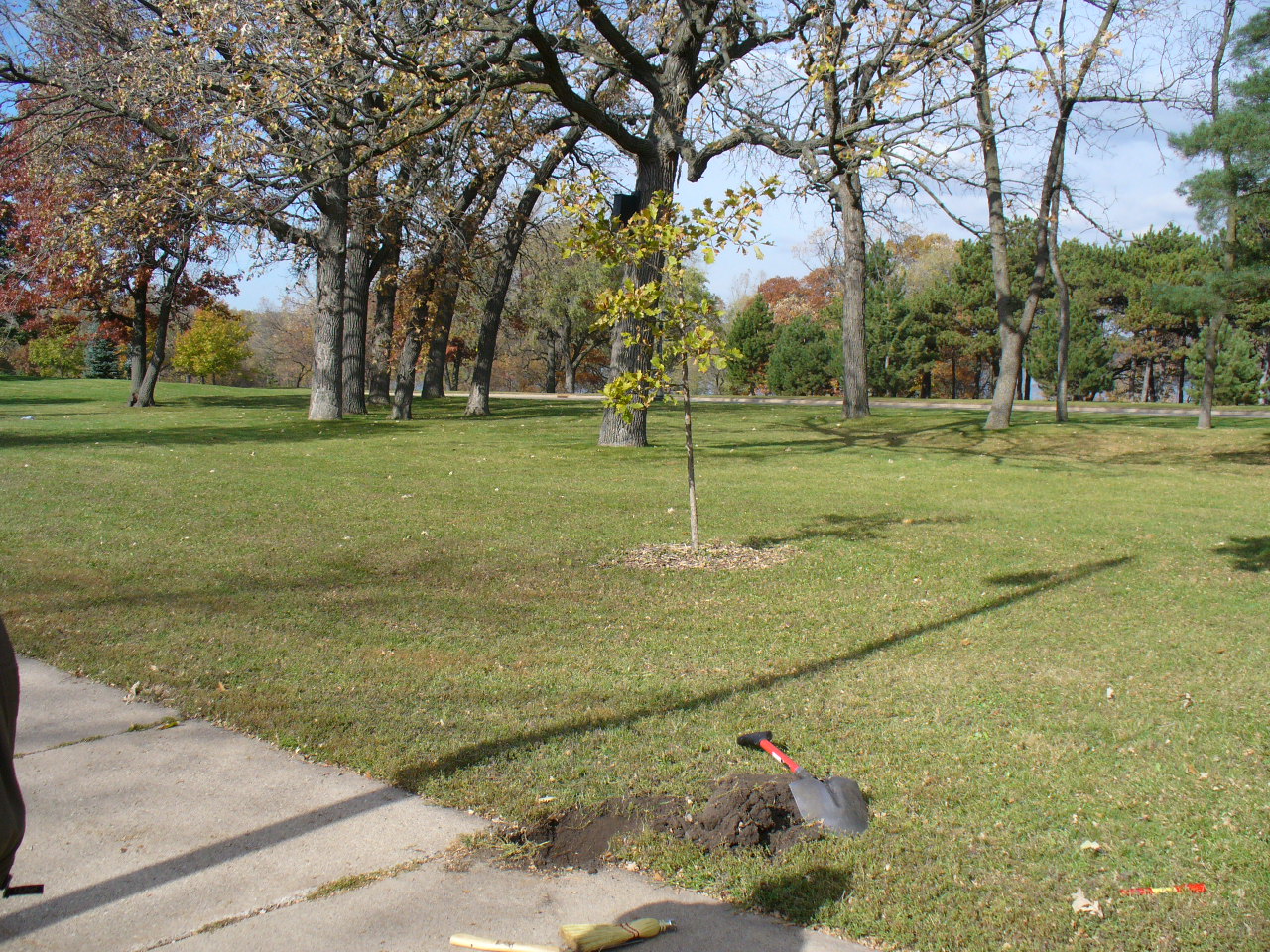
| 3841-2289-1.jpg | October 24, 2006 | Close up of GM with magnet in hole. |