| NAD83 COORDINATES (1986 adj.): |
|---|
| X= 563922.46 Y= 167067.47 Z= 912.8 03/11/2007 RTK-VRS |
| 4/11/2007 | Placed ties on GM. See CofL 3843-2630-A |
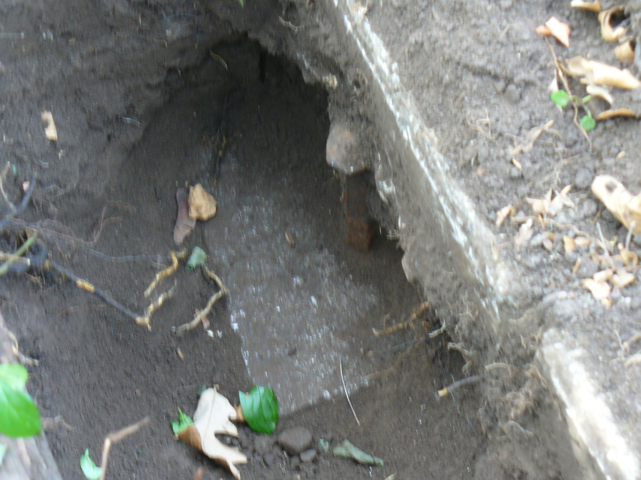
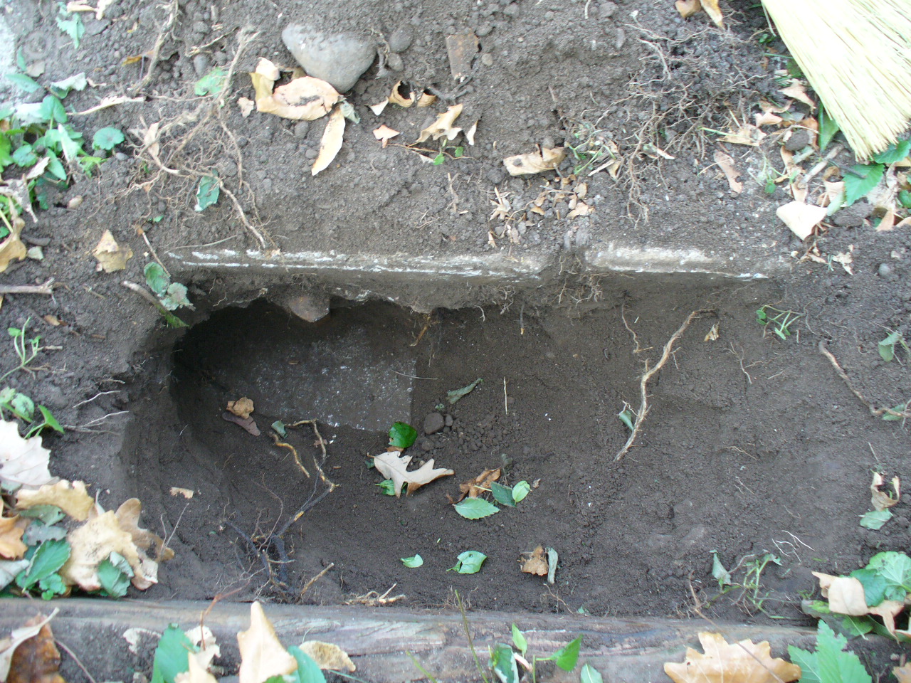
| 4/11/2007 | Fd GM down 0.9 ft below walk with RR spike set in hole. Position on GM established by RTK-VRS GPS Elev 912.9 ft. |
| 10/24/2006 | Fd GM down 0.9 ft below walk. Fd RR spike set in hole of GM. Top of spike down 0.4 feet below walk. Photos taken. |
| 12/13/1892 | Monument set by J B Irvine after grading Como Ave (Union St) |
| FILE | SURVEYOR | LIC. NO. | DATE SIGNED | DATE TIED |
|---|---|---|---|---|
| 3843-2630-A.tif | Samuel D. Gibson | 44880 | April 23, 2007 | April 11, 2007 |
| FILE | PHOTO DATE | COMMENTS |
|---|---|---|
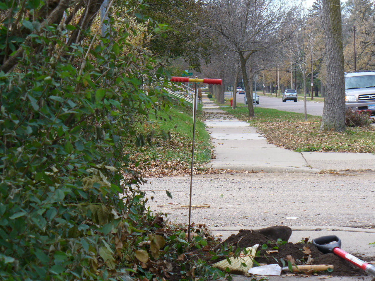
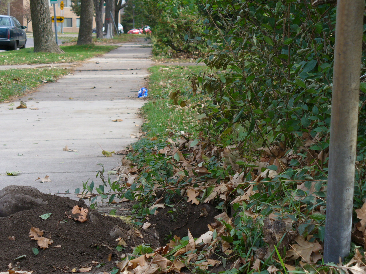
| 3843-2630-6.jpg | October 24, 2006 | Looking West along the South side of Como Ave. |
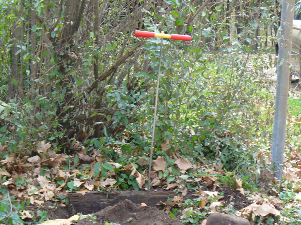
| 3843-2630-5.jpg | October 24, 2006 | Looking South. |
| 3843-2630-4.jpg | October 24, 2006 | Looking East along the South side of Como Ave. |
| 3843-2630-3.jpg | October 24, 2006 | Close up of GM and RR spike. |
| 3843-2630-2.jpg | October 24, 2006 | Close up of GM and RR spike. |
| 3843-2630-1.jpg | October 24, 2006 | Close up of GM and RR spike. |