|
FILE
|
PHOTO DATE
|
COMMENTS
|
|
3849-0428A-9.jpg
|
May 10, 2007
|
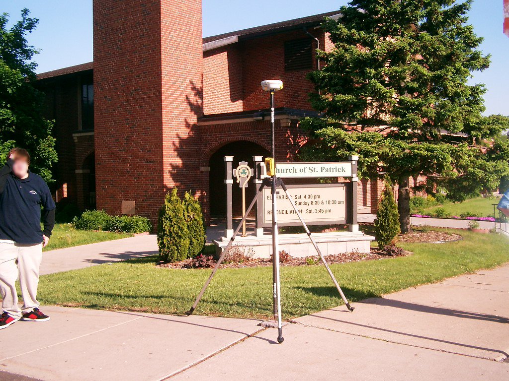
Looking Northwest at the Northwest corner of Desoto St & Magnolia Ave.
|
|
3849-0428A-8.jpg
|
May 10, 2007
|
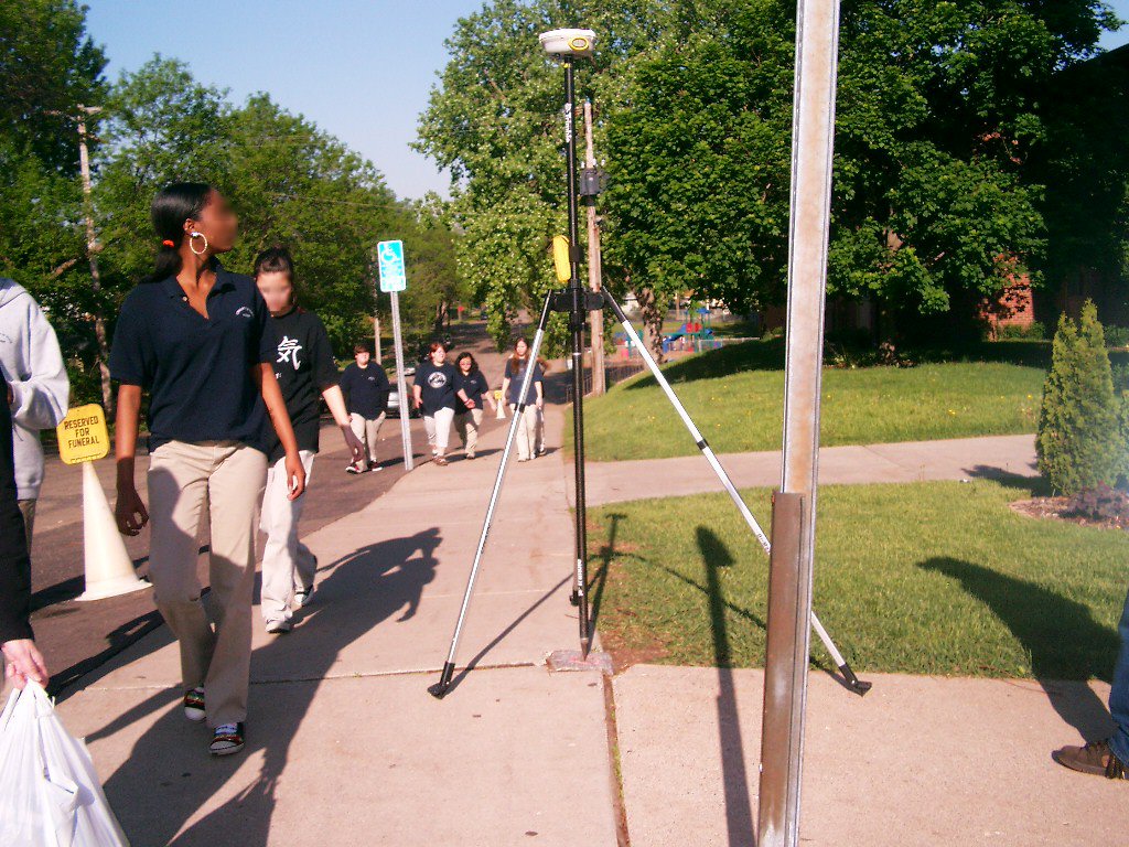
Looking West along the North side of Magnolia Ave.
|
|
3849-0428A-7.jpg
|
May 10, 2007
|
Looking Southwest at the Northwest corner of Desoto St & Magnolia Ave.
|
|
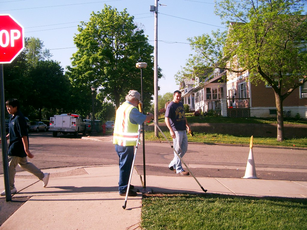
3849-0428A-6.jpg
|
May 10, 2007
|
Looking South along the West side of Desoto St.
|
|
3849-0428A-5.jpg
|
May 10, 2007
|
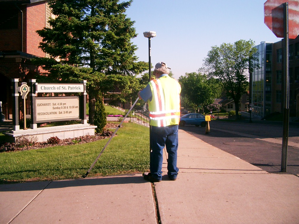
Looking Southeast at the Northwest corner of Desoto St & Magnolia Ave.
|
|
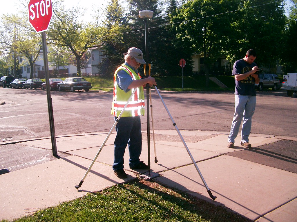
3849-0428A-4.jpg
|
May 10, 2007
|
Looking East along the North side of Magnolia Ave.
|
|
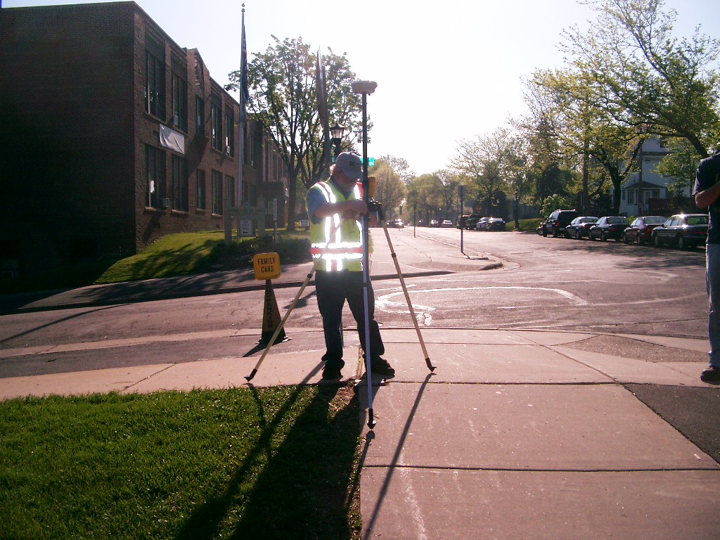
3849-0428A-3.jpg
|
May 10, 2007
|
Looking North along the West side of Desoto St.
|
|
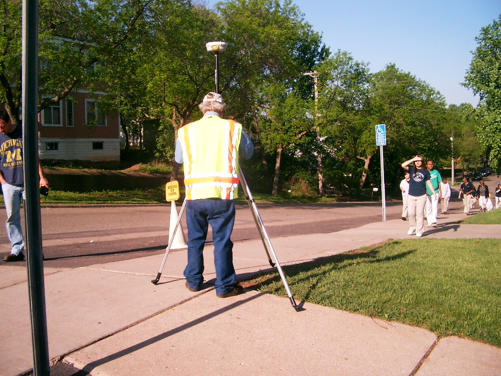
3849-0428A-1.jpg
|
May 10, 2007
|
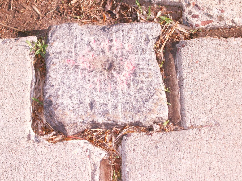
Close-up of the GM.
|