| NAD83 COORDINATES (1986 adj.): |
|---|
| X= 591969.79 Y= 169842.70 Z= 941.0 04/08/2008 RTK-VRS |
| 4/8/2008 | Position on the Concrete monument set by RTK-VRS GPS Elev 246.4 ft. See CofL 3853-__kq-A |
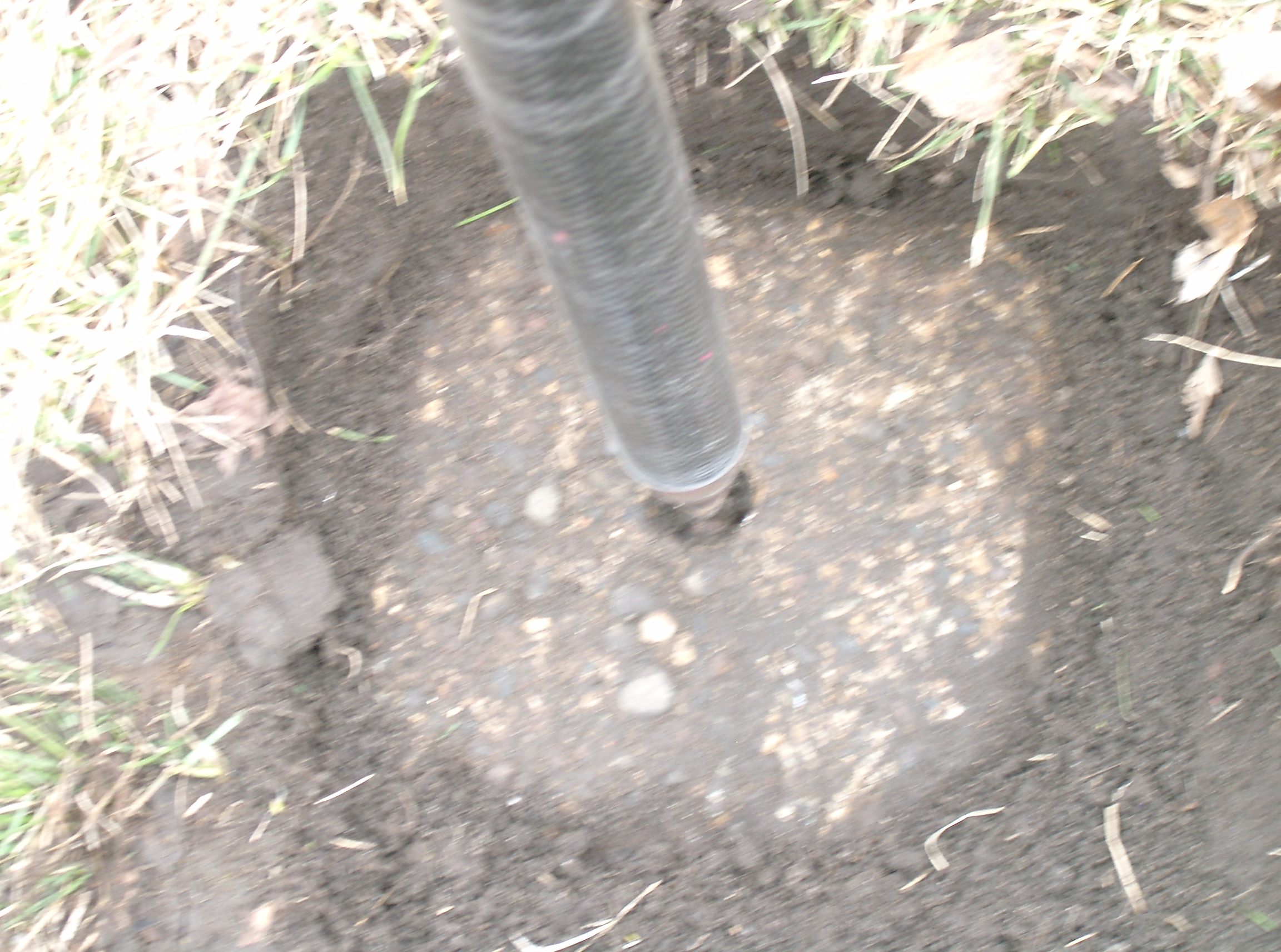
| 4/8/2008 | Fd concrete monument 0.1 ft below grade. Set ties. Photos taken. |
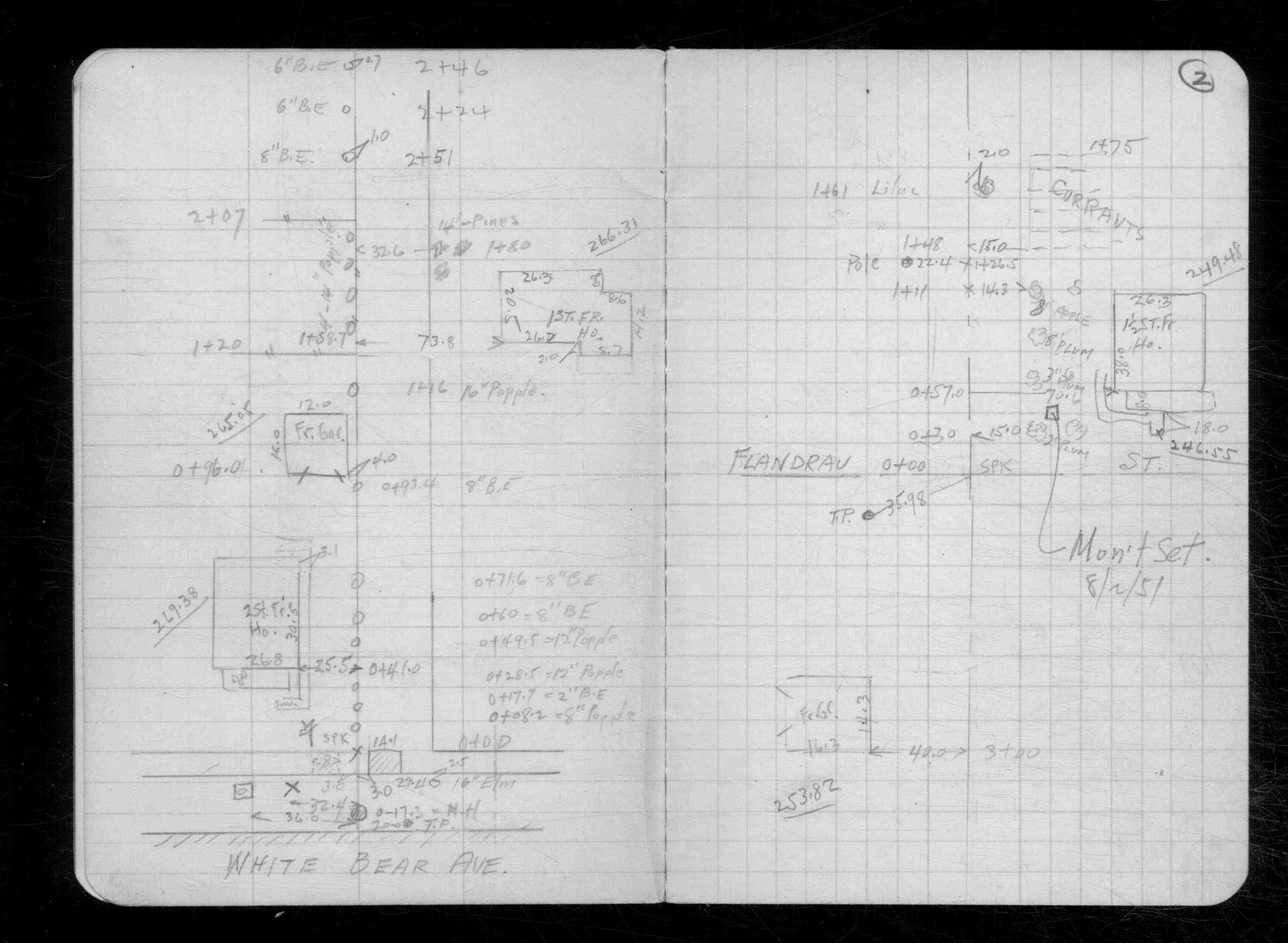
| 8/2/1951 | Monument set. See CS 2434 p.02 |
Above is NOT an all inclusive history of this point. Please review all the links below.
| PLS NOTES | Field | Cross Section | Sewer | J.B. Irvine | Monument | River Survey |
|---|---|---|---|---|---|---|
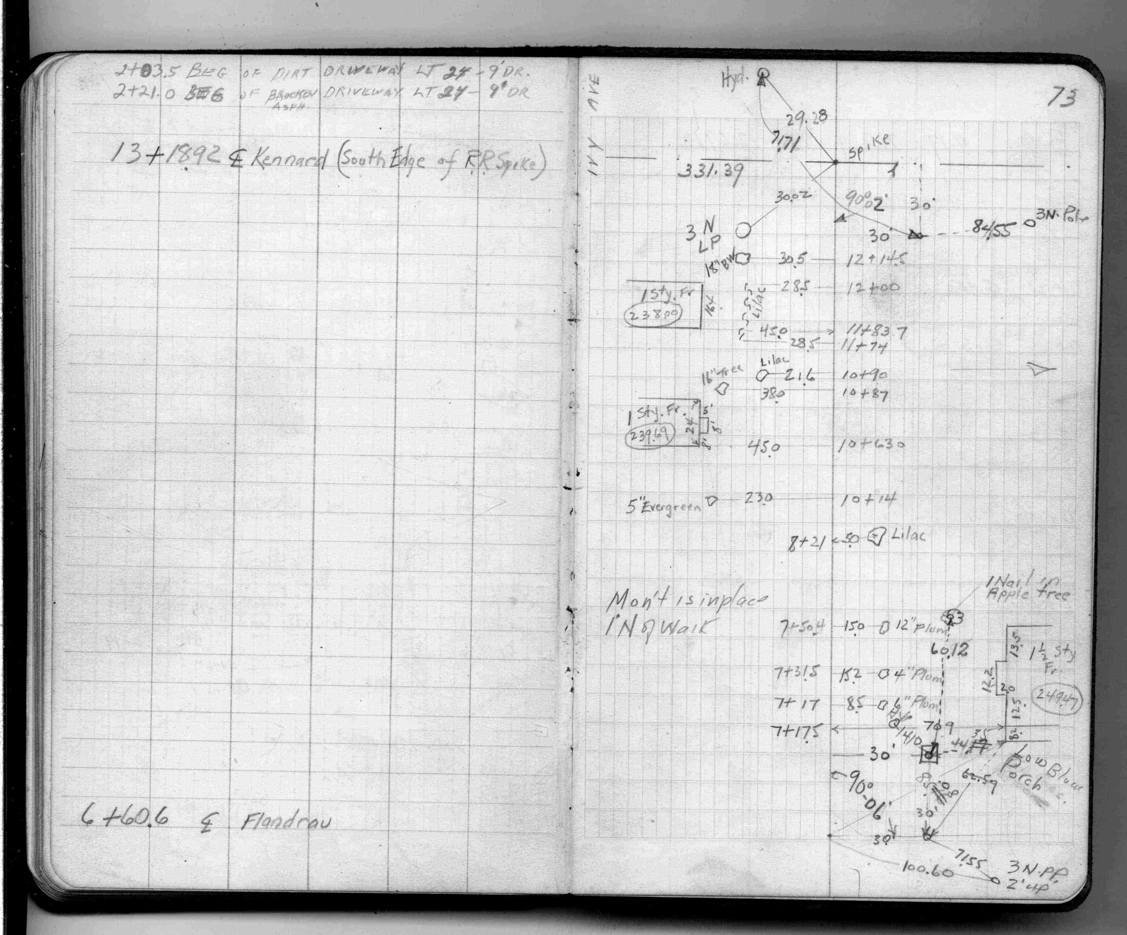
| FB 1377p.73 | CS 2434p.02 |
| FILE | PHOTO DATE | COMMENTS |
|---|---|---|
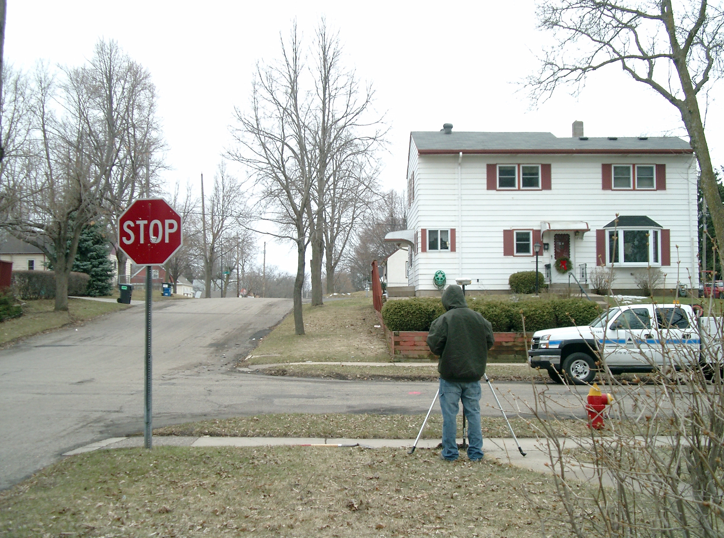
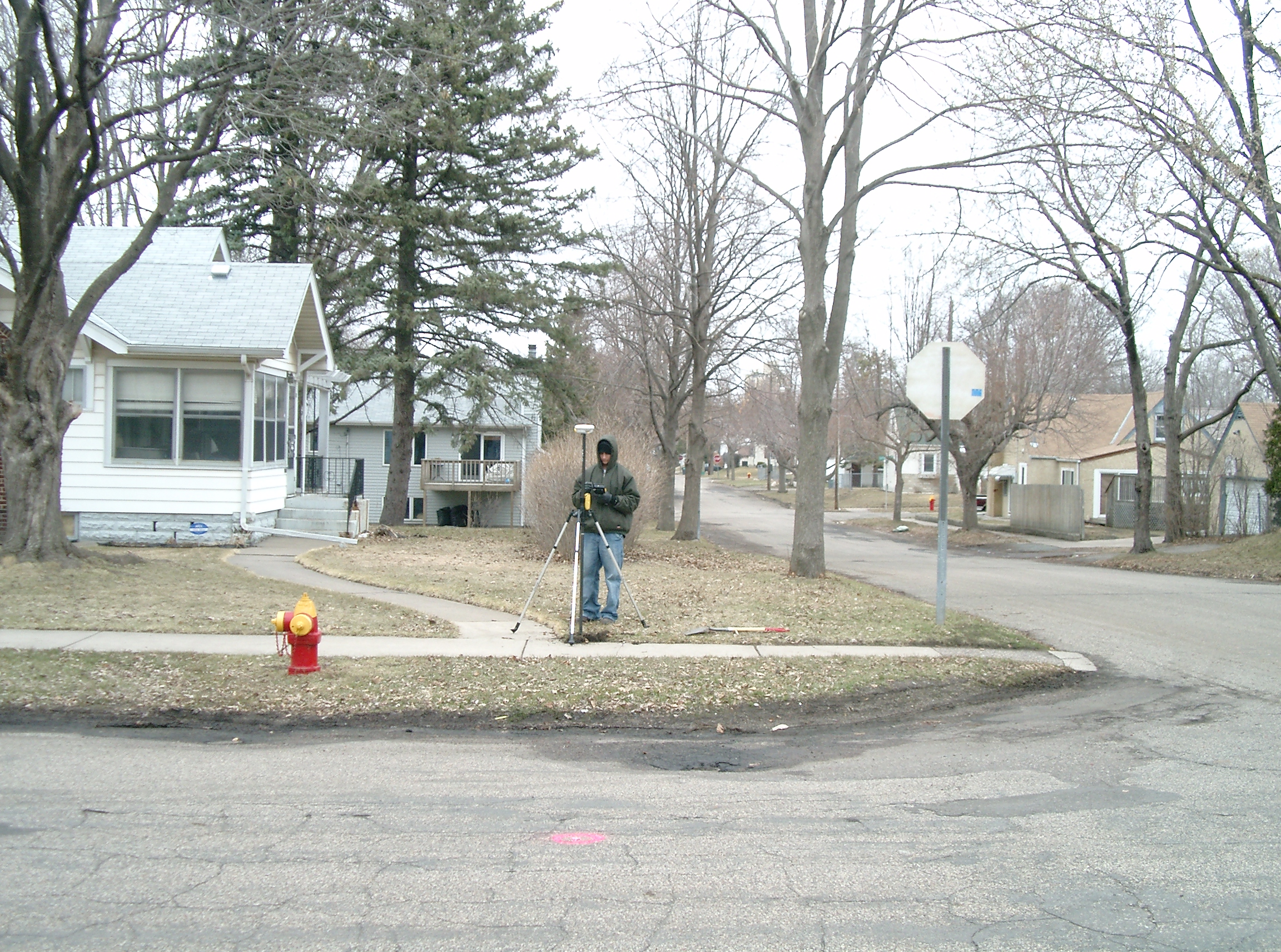
| 3853-__kq-5.jpg | April 8, 2008 | Looking West along the North side of Clear Ave. |
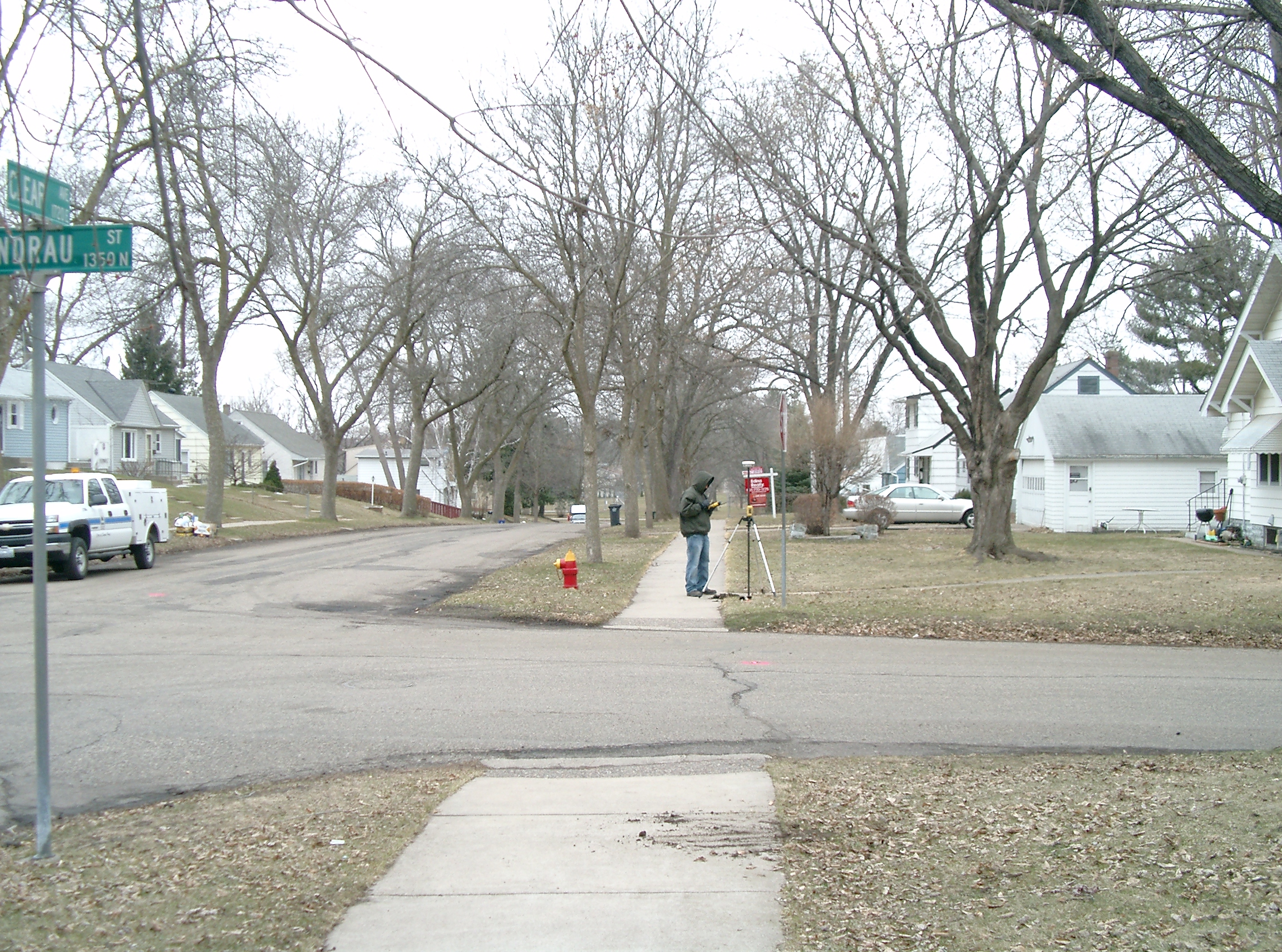
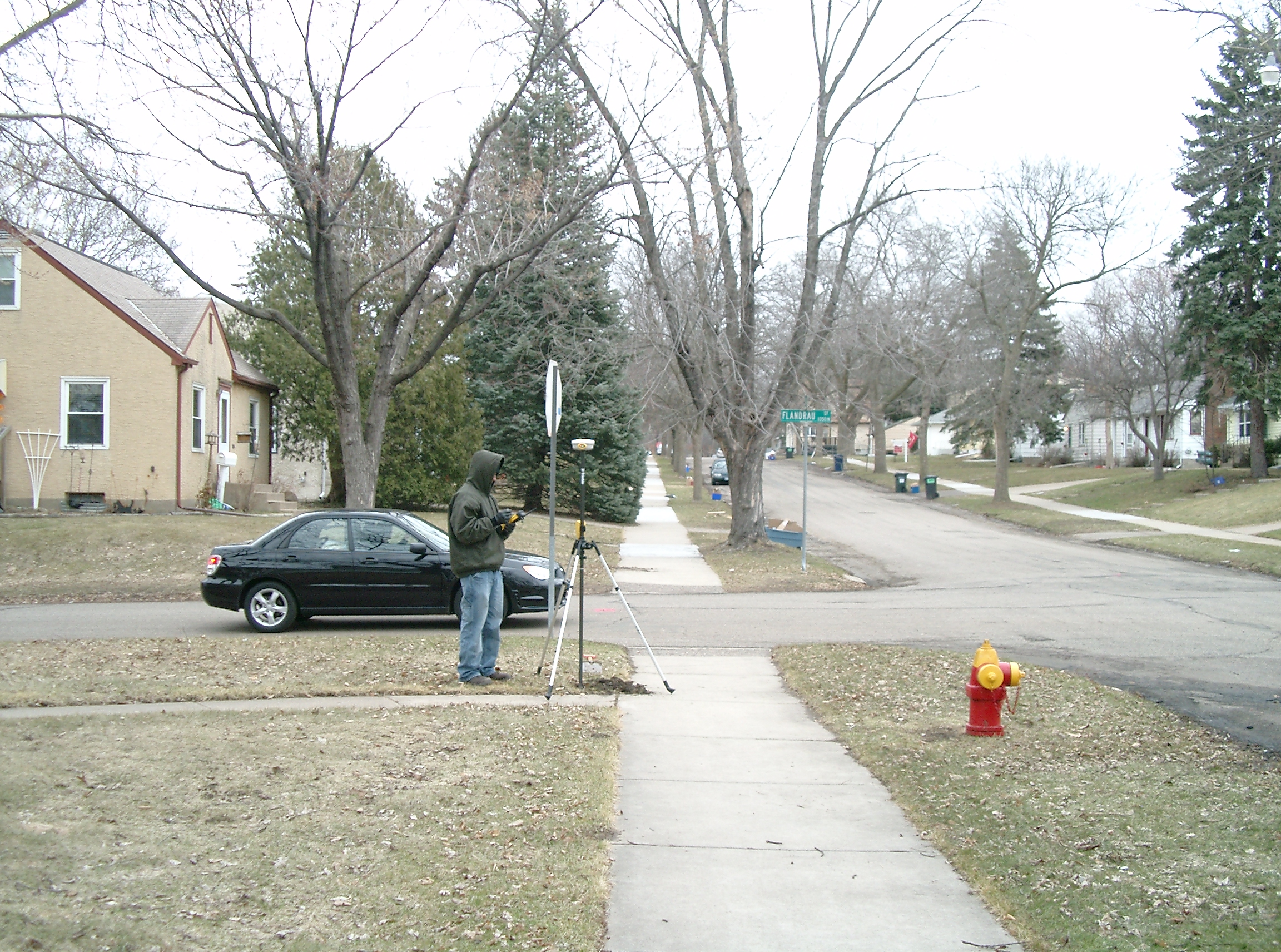
| 3853-__kq-4.jpg | April 8, 2008 | Looking South along the West side of Flandrau St. |
| 3853-__kq-3.jpg | April 8, 2008 | Looking East along the North side of Clear Ave. |
| 3853-__kq-2.jpg | April 8, 2008 | Looking North along the West side of Flandrau St. |
| 3853-__kq-1.jpg | April 8, 2008 | Close-up of the Concrete monument. |