|
FILE
|
PHOTO DATE
|
COMMENTS
|
|
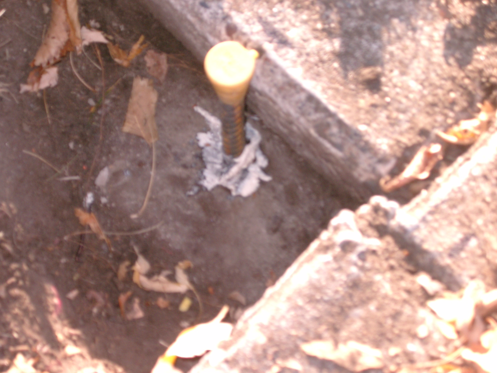
3866-2130-9.jpg
|
October 30, 2008
|
Clearer close-up of capped rebar in the GM, behind the sidewalk.
|
|
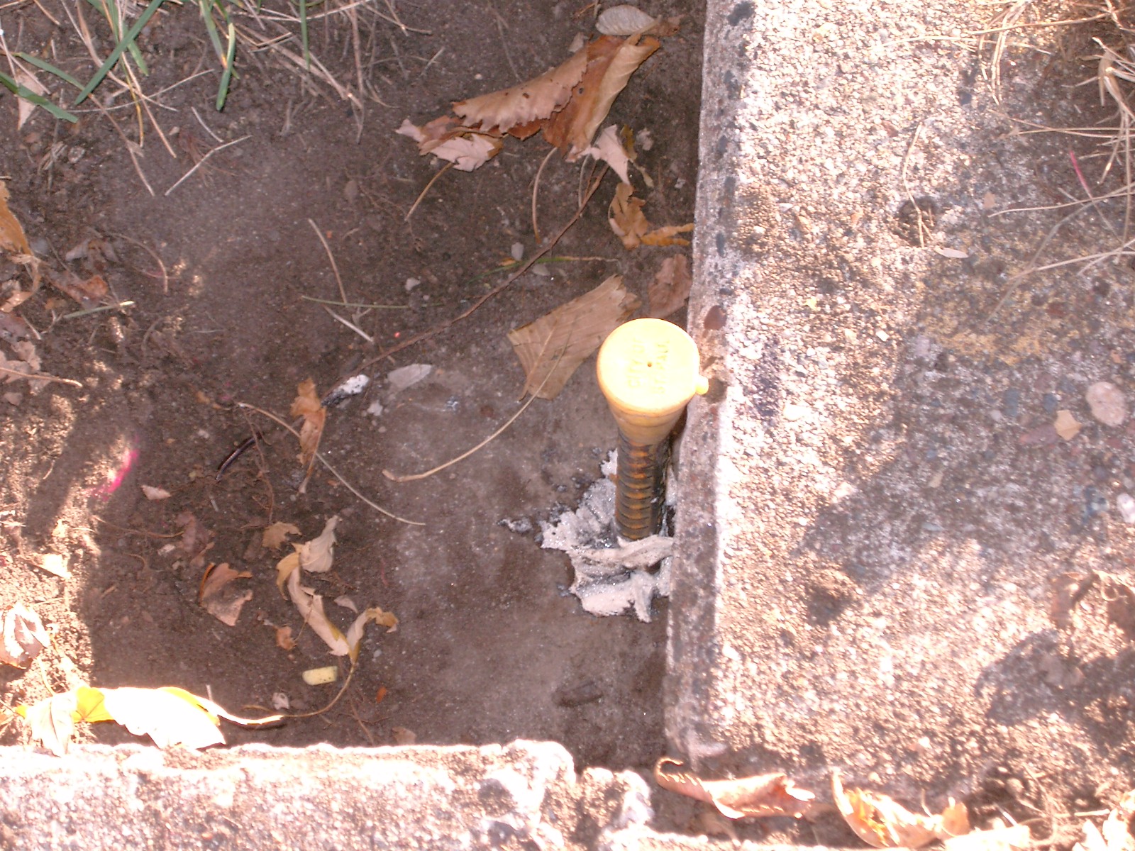
3866-2130-8.jpg
|
October 30, 2008
|
Close-up of capped rebar in the GM.
|
|
3866-2130-7.jpg
|
October 30, 2008
|
Looking west along the north side of St. Anthony, across Wheeler.
|
|
3866-2130-6.jpg
|
October 30, 2008
|
Looking south across St. Anthony towards the freeway.
|
|
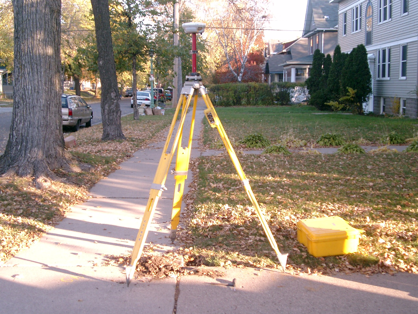
3866-2130-5.jpg
|
October 30, 2008
|
Looking east along the north side of St. Anthony.
|
|
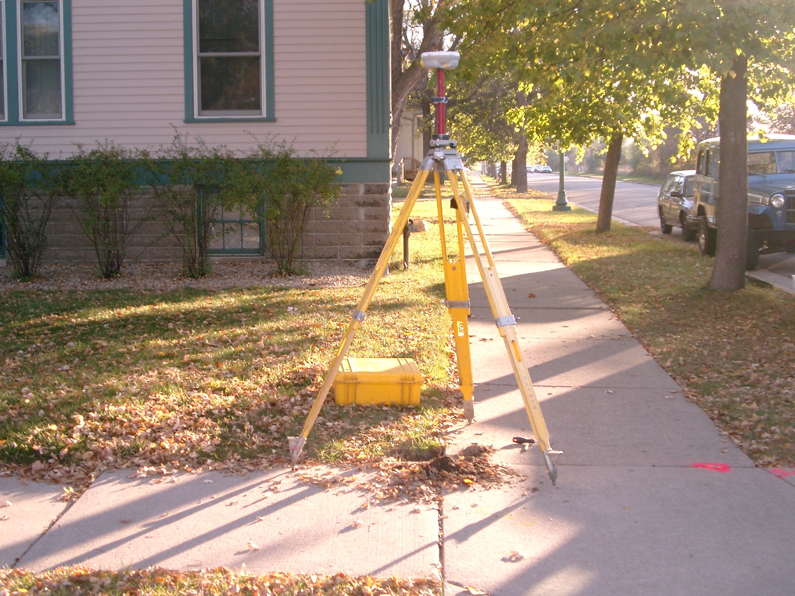
3866-2130-4.jpg
|
October 30, 2008
|
Looking northeast.
|
|
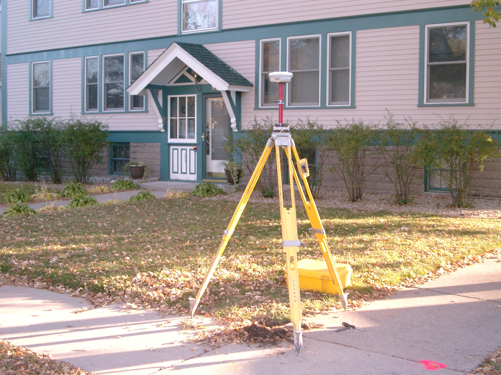
3866-2130-3.jpg
|
October 30, 2008
|
Looking north along the east side of Wheeler.
|
|
3866-2130-10.jpg
|
October 30, 2008
|
Close-up of capped rebar at grade with new sod, behind the sidewalk.
|
|
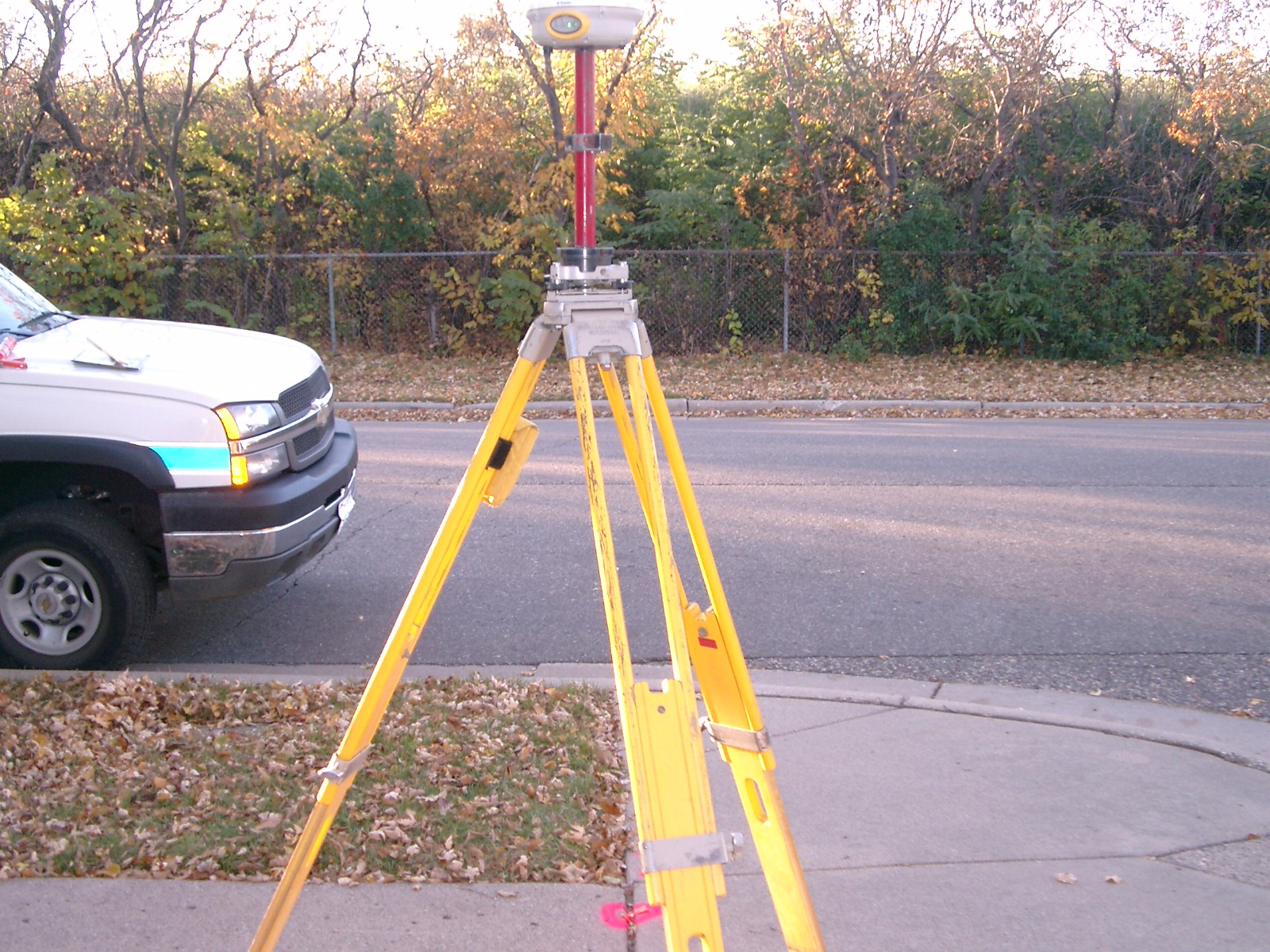
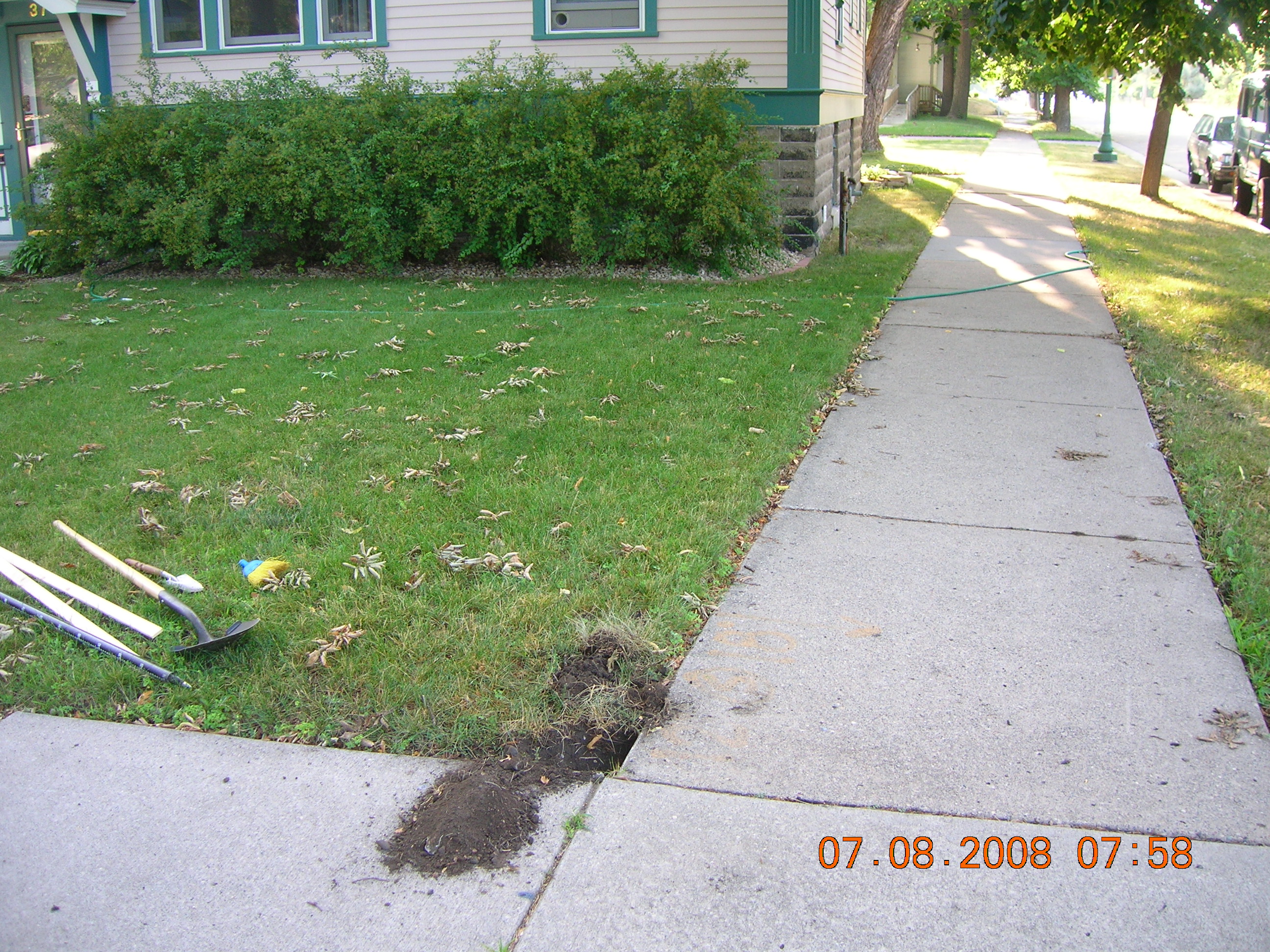
3866-2130-2.jpg
|
July 8, 2008
|
Looking east along St. Anthony, Wheeler in foreground.
|
|
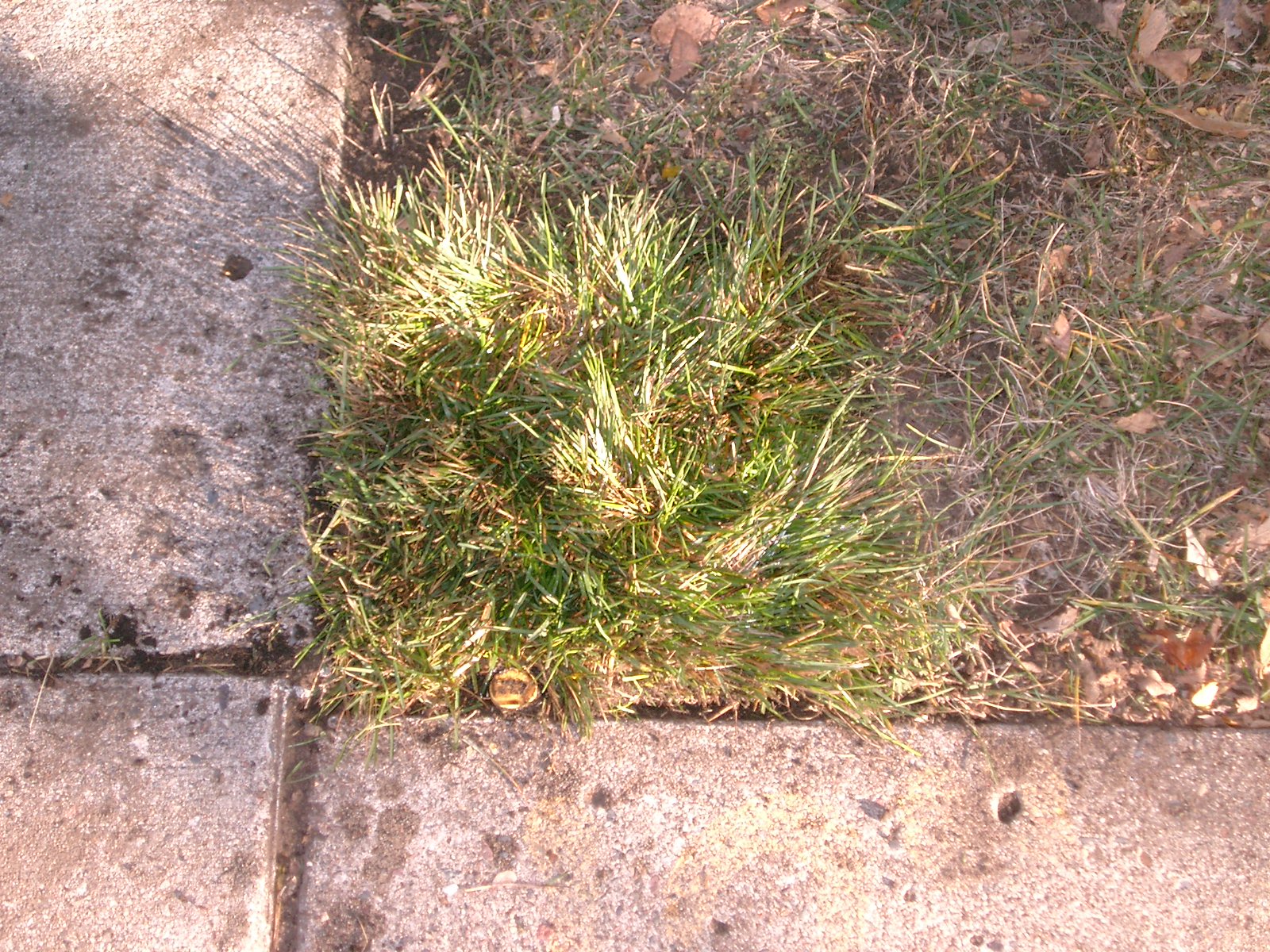
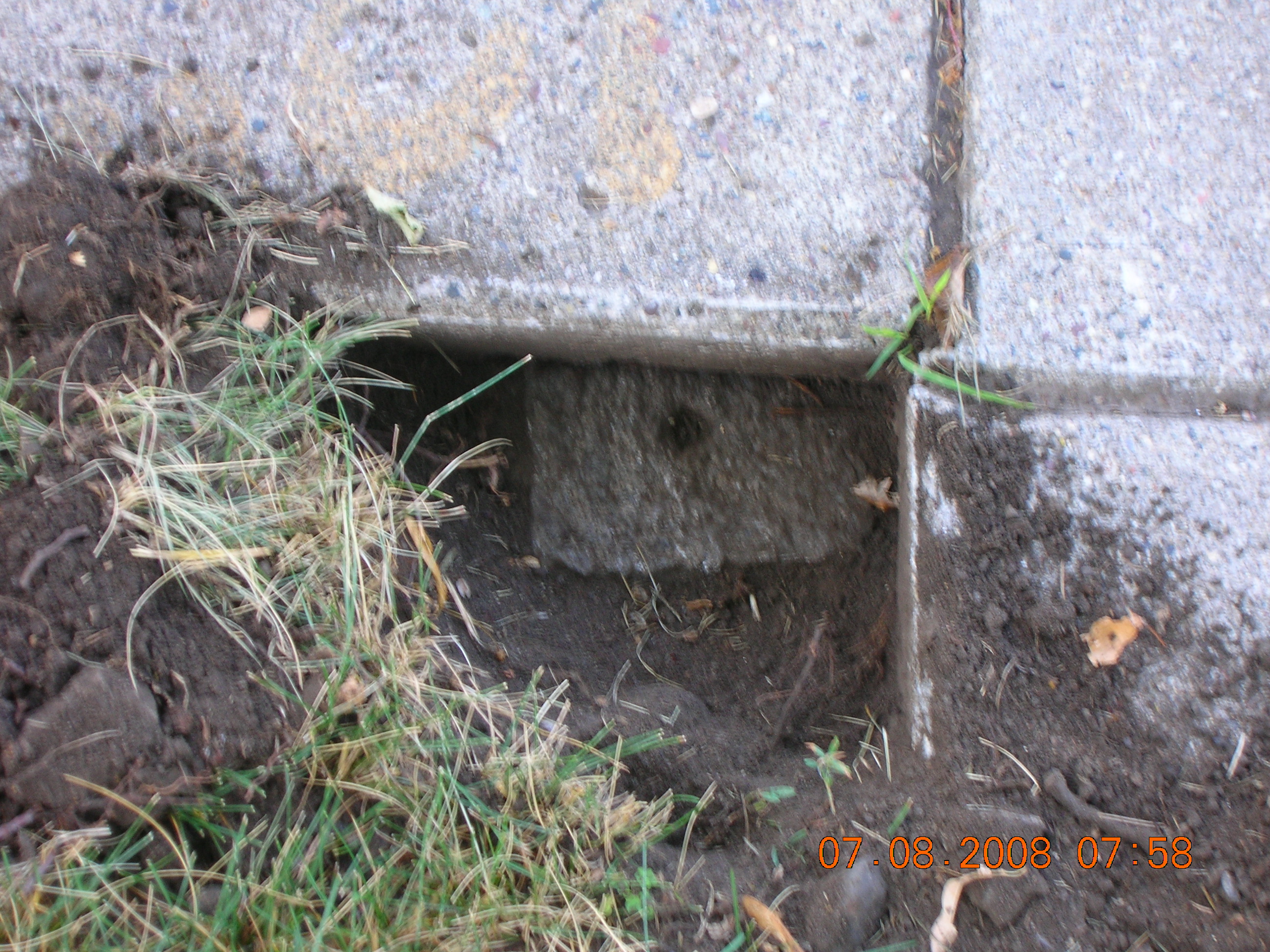
3866-2130-1.jpg
|
July 8, 2008
|
Close-up of GM.
|