|
FILE
|
PHOTO DATE
|
COMMENTS
|
|
3873-0366-9.jpg
|
November 30, 2009
|
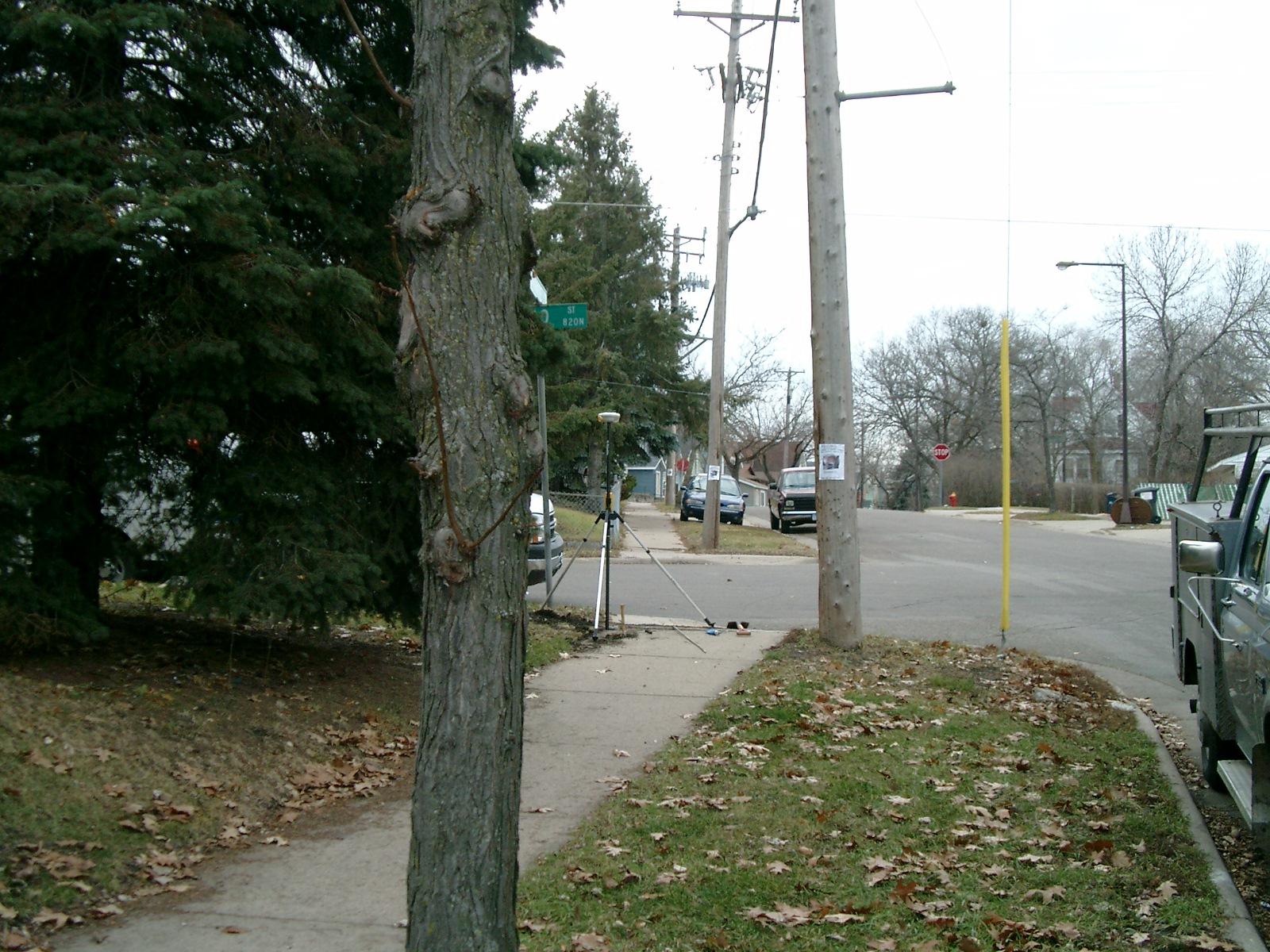
Looking South along the East side of Buffalo St.
|
|
3873-0366-8.jpg
|
November 30, 2009
|
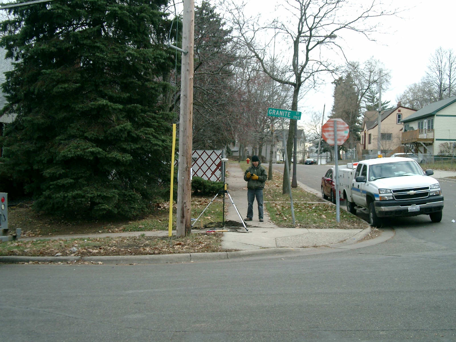
Looking East along the South side of Granite St.
|
|
3873-0366-7.jpg
|
November 30, 2009
|
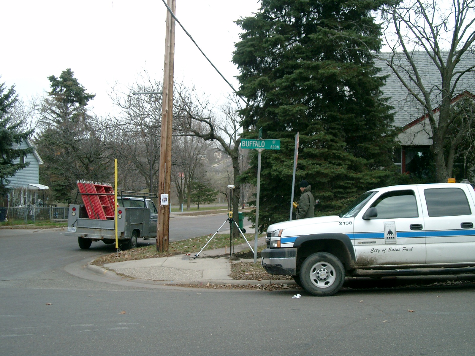
Looking North along the East side of Buffalo St.
|
|
3873-0366-6.jpg
|
November 30, 2009
|
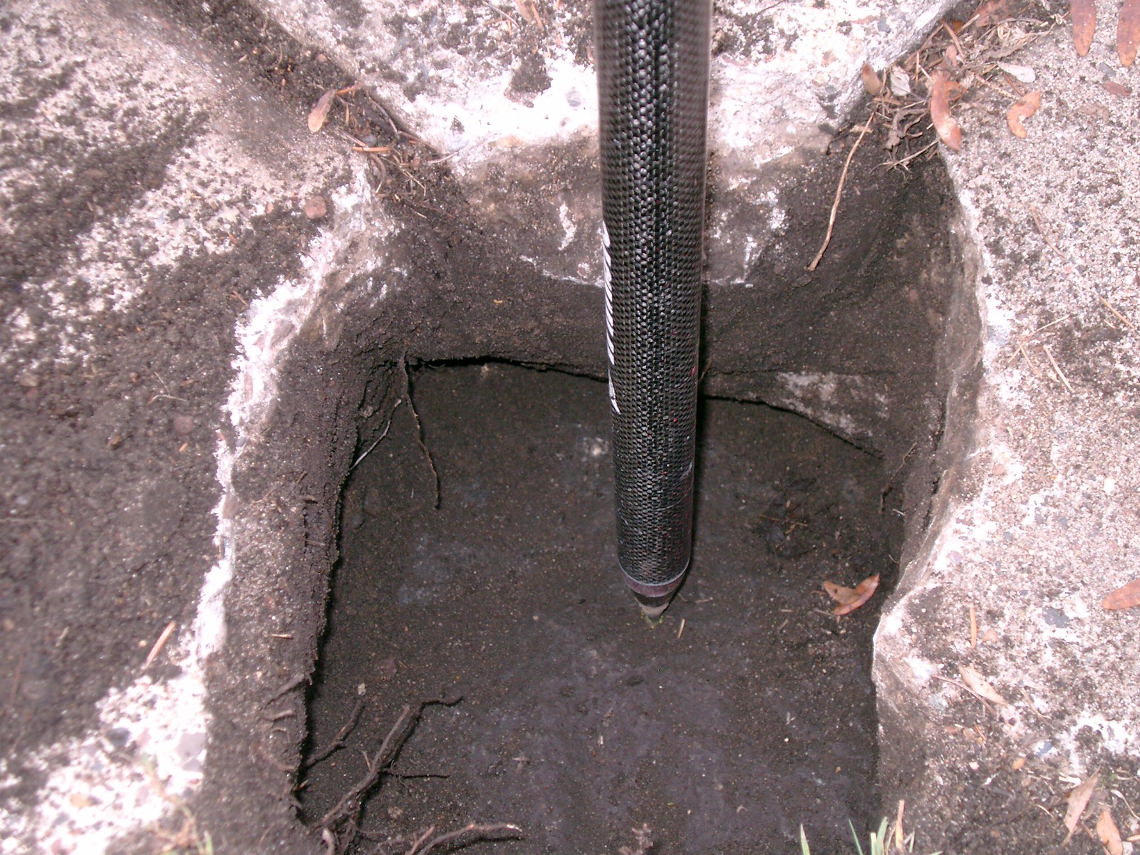
Close-up of the GM under the sidewalk.
|
|
3873-0366-10.jpg
|
November 30, 2009
|
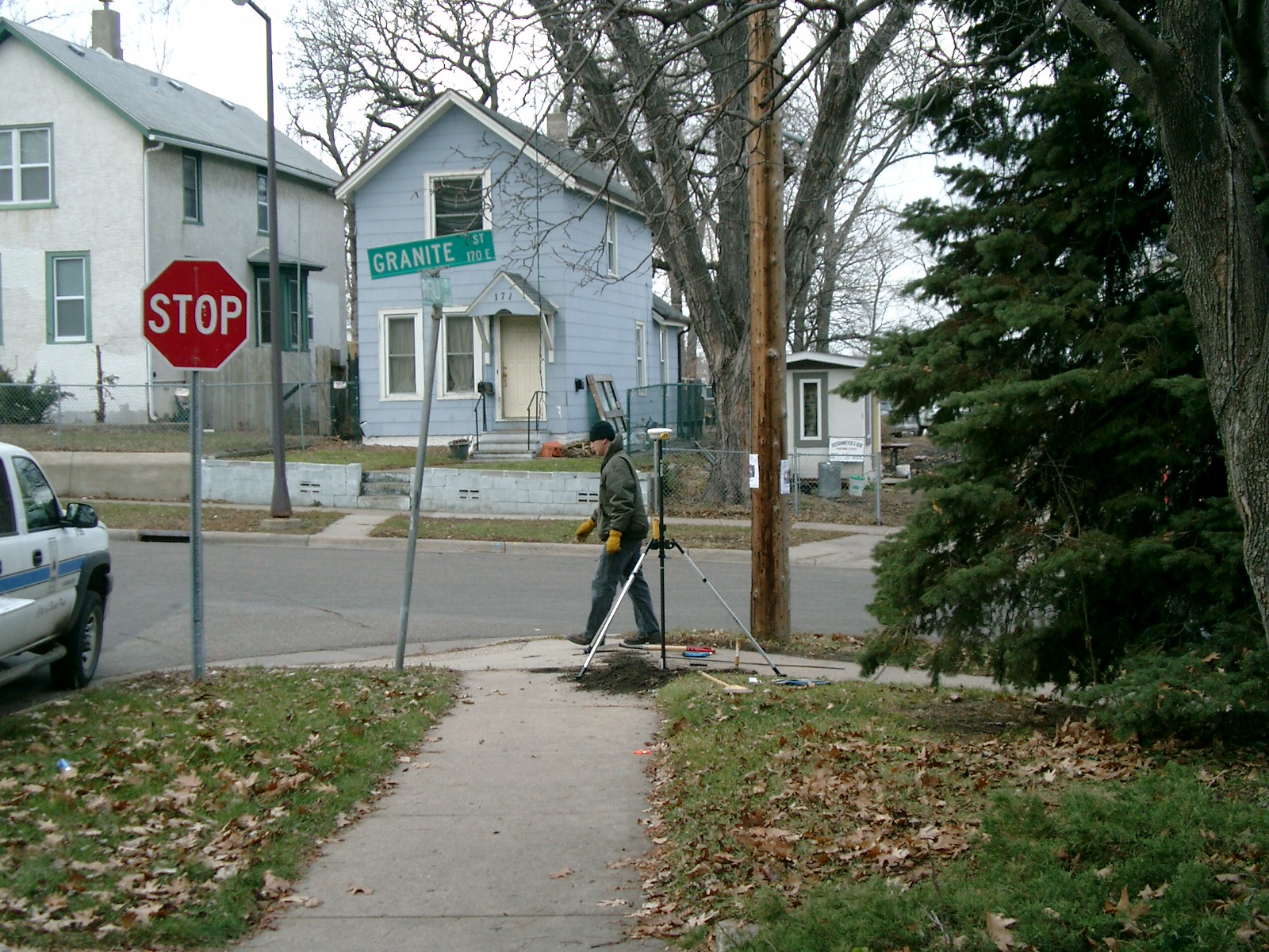
Looking West along the South side of Granite St.
|
|
3873-0366-3.jpg
|
December 4, 2008
|
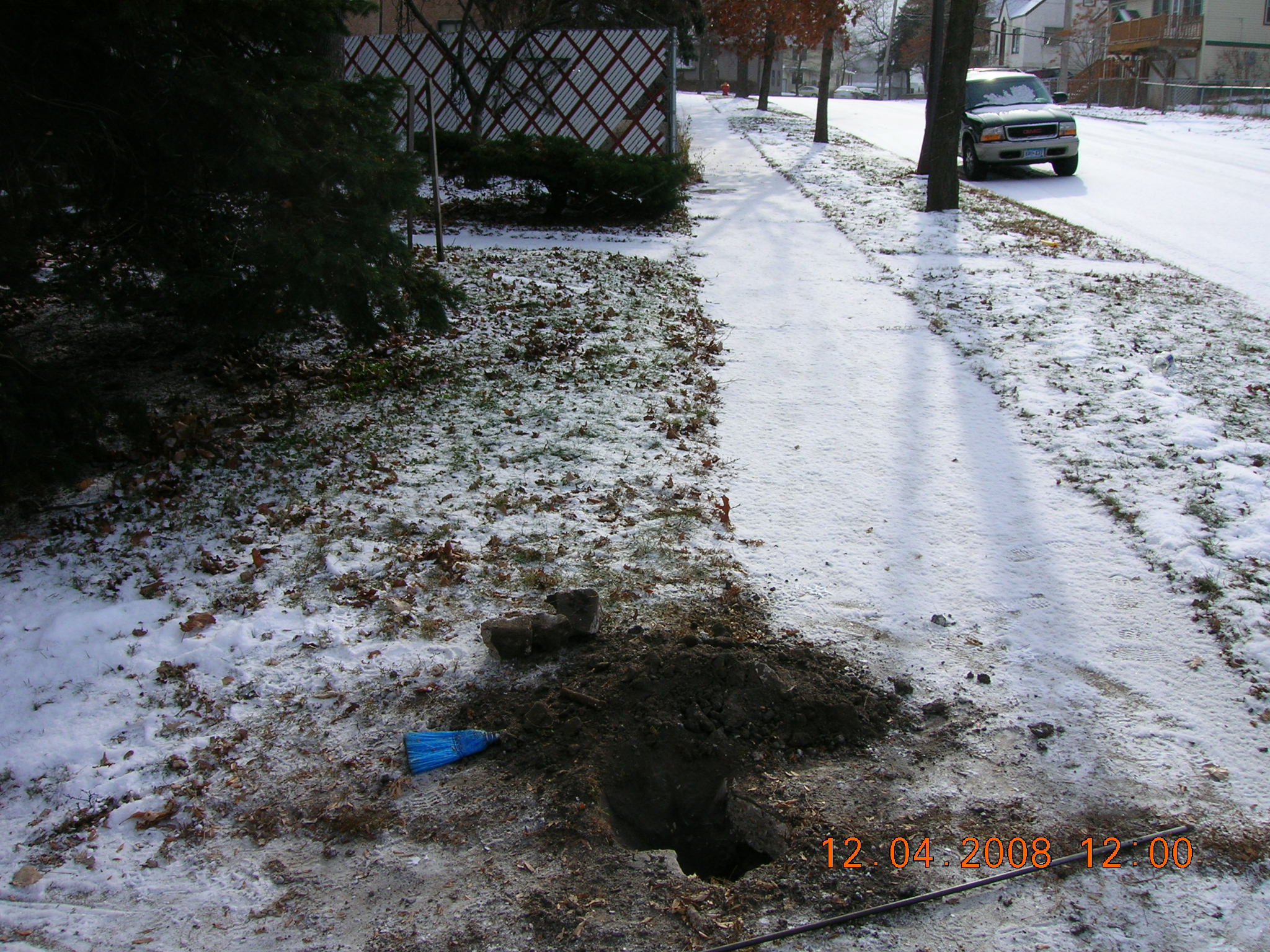
Looking Westerly along the South side of Granite St.
|
|
3873-0366-2.jpg
|
December 4, 2008
|
Looking East along the South side of Granite St.
|
|
3873-0366-1.jpg
|
December 4, 2008
|
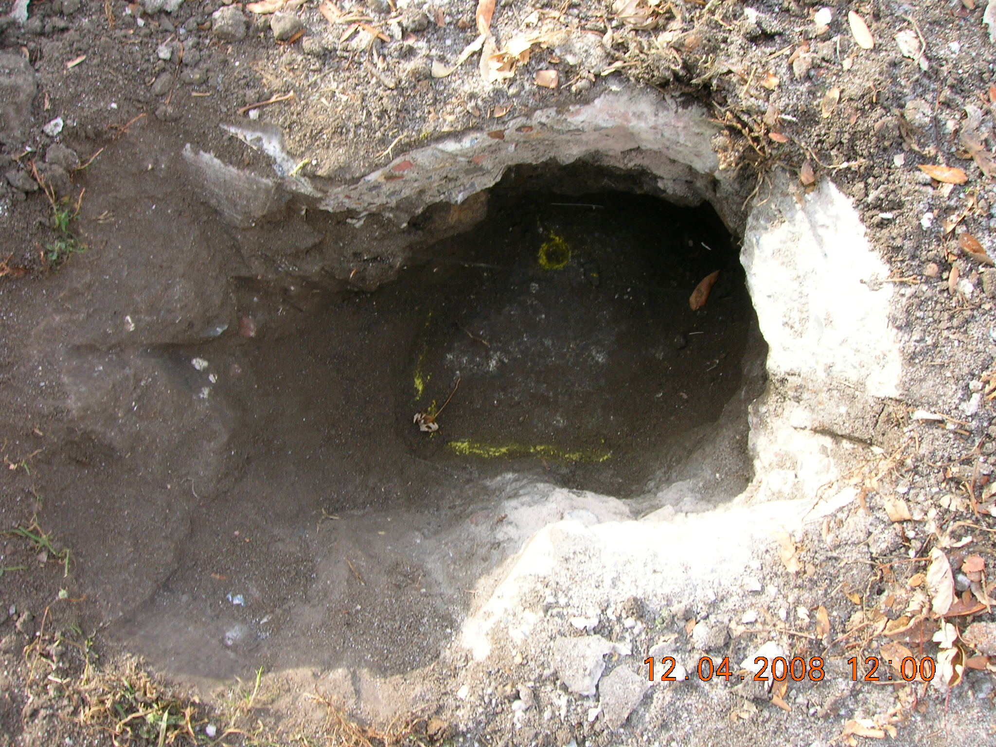
Close-up of the GM under the sidewalk.
|