| NAD83 COORDINATES (1986 adj.): |
|---|
| X= 574608.31 Y= 163172.06 Z= 840.1 12/3/2009 RTK-VRS |
| NAD83 COORDINATES (1996 adj.): |
|---|
| X= 574607.98 Y= 163172.73 Z= 000.00 12/05/2008 MnDot |
| 12/5/2009 | Photos taken of the GM. |
| 12/3/2009 | Position on GM set by RTK-VRS GPS. Elev. 840.1 ft |
| 12/2/2009 | Placed ties on the GM See CofL 3875-0370-A.pdf |
| 12/5/2008 | Photos taken of GM below grade. Position on GM set by RTK-VRS GPS |
| 4/22/1999 | GM recovered 0.5 feet below grade mostly under conc block wall. |
| 1/25/1890 | Monument not disturbed by grading - Chas A Hunt |
| FILE | SURVEYOR | LIC. NO. | DATE SIGNED | DATE TIED |
|---|---|---|---|---|
| 3875-0370-A.pdf | Samuel D. Gibson | 44880 | February 3, 2010 | December 2, 2009 |
| FILE | PHOTO DATE | COMMENTS |
|---|---|---|
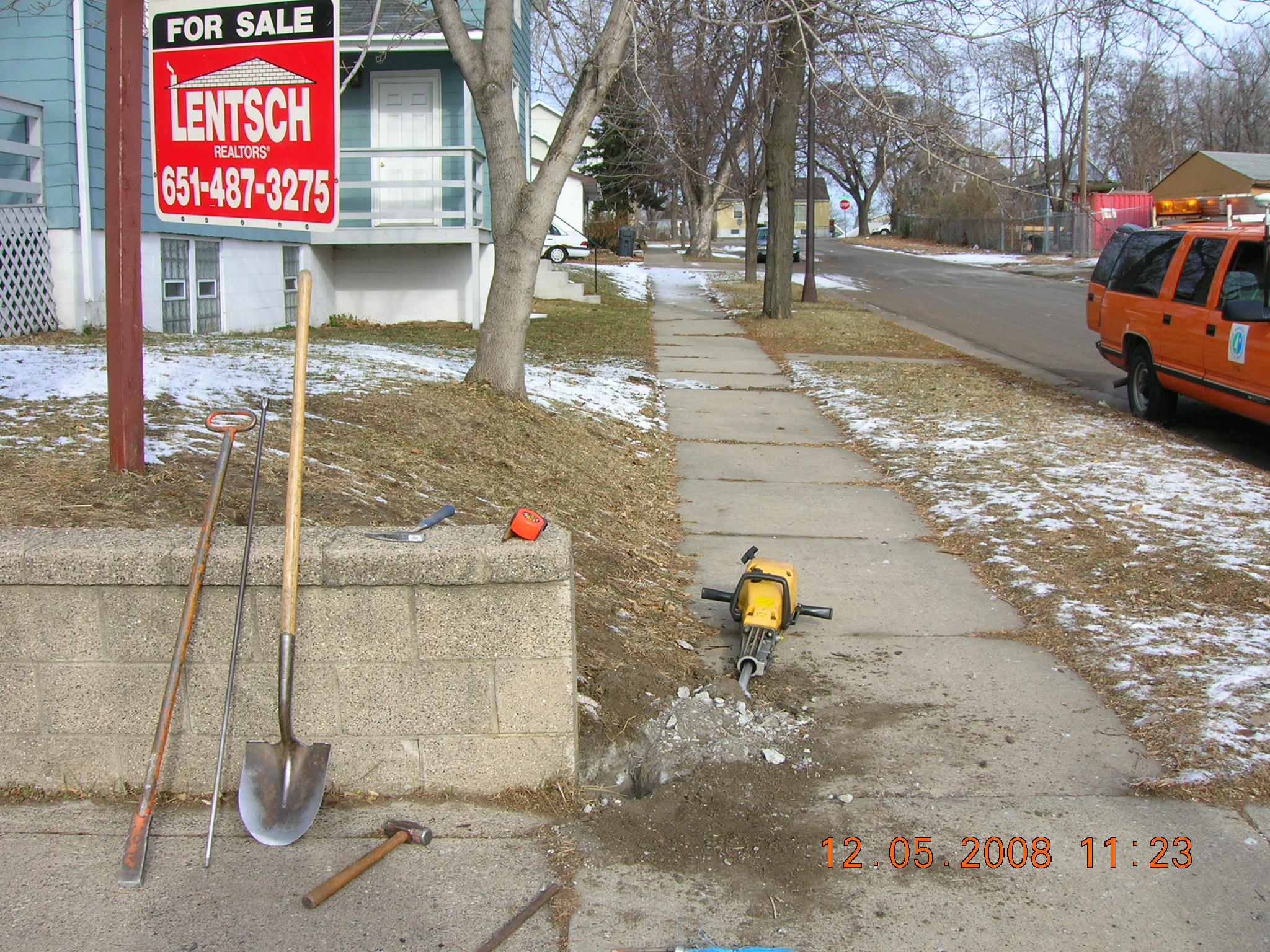
| 3875-0370-4.jpg | December 5, 2008 | Looking Northerly along the West side of Elk St. |
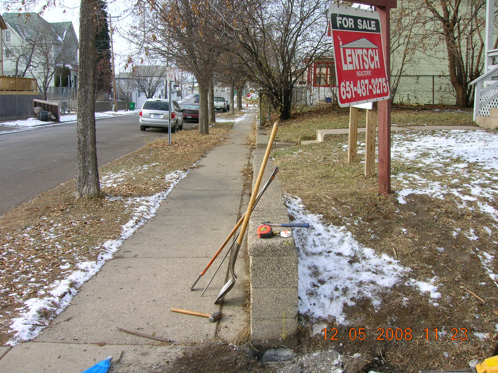
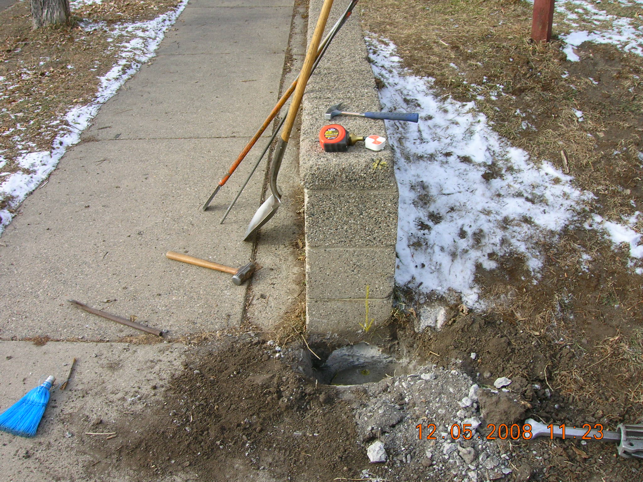
| 3875-0370-3.jpg | December 5, 2008 | Looking Westerly along the North side of Acker St. |
| 3875-0370-2.jpg | December 5, 2008 | Looking Westerly along the North side of Acker St. |
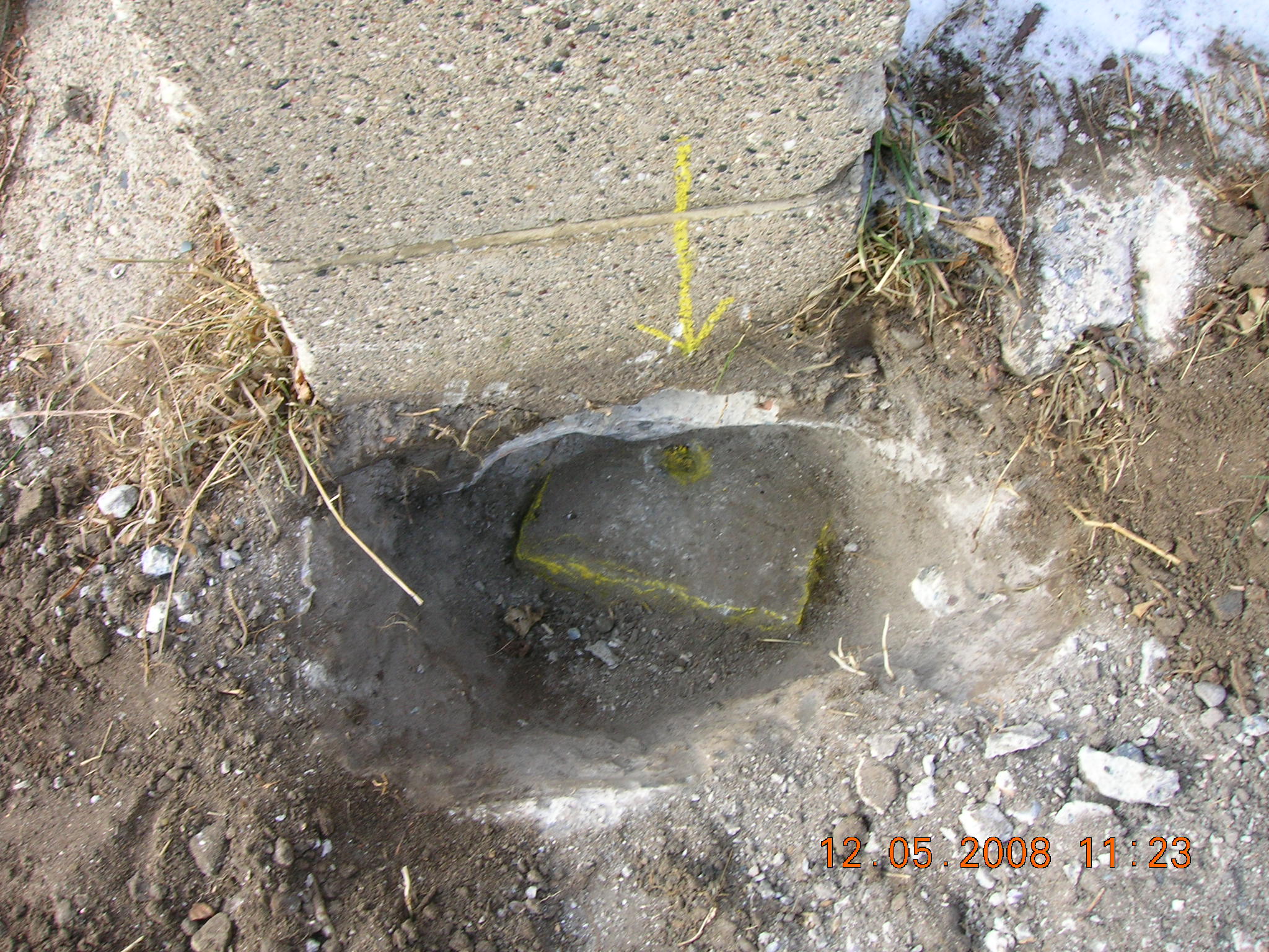
| 3875-0370-1.jpg | December 5, 2008 | Close-up of the GM under a wall. |