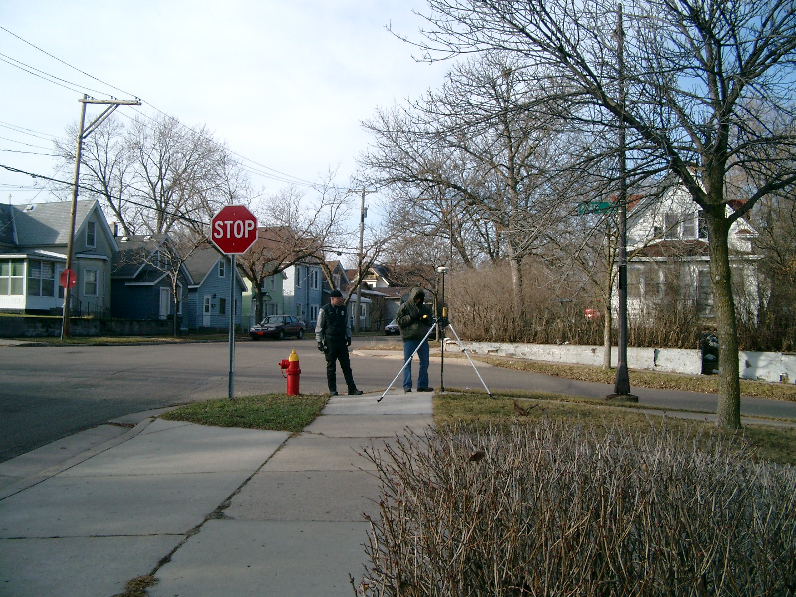
|
FILE
|
PHOTO DATE
|
COMMENTS
|
|
4116-0367B-9.jpg
|
July 31, 2013
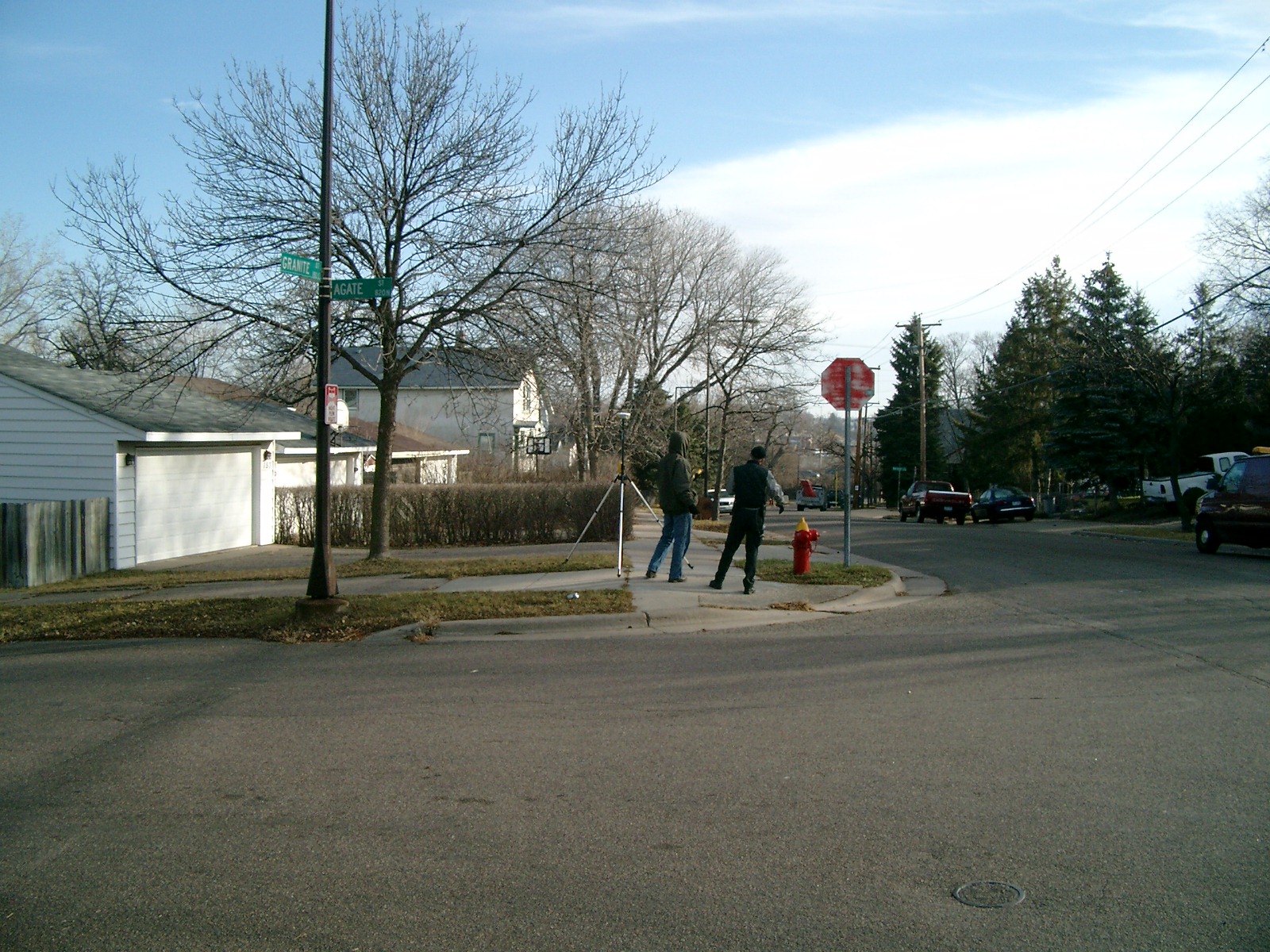
|
Looking east along Granite St.
|
|
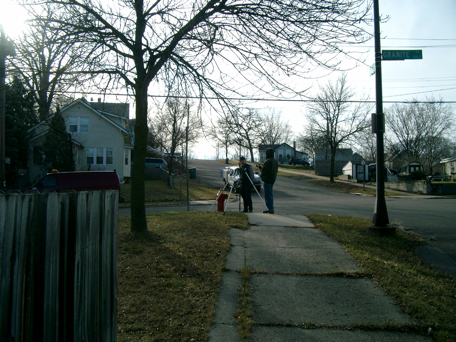
4116-0367B-8.jpg
|
July 31, 2013
|
Looking north along Agate St.
|
|
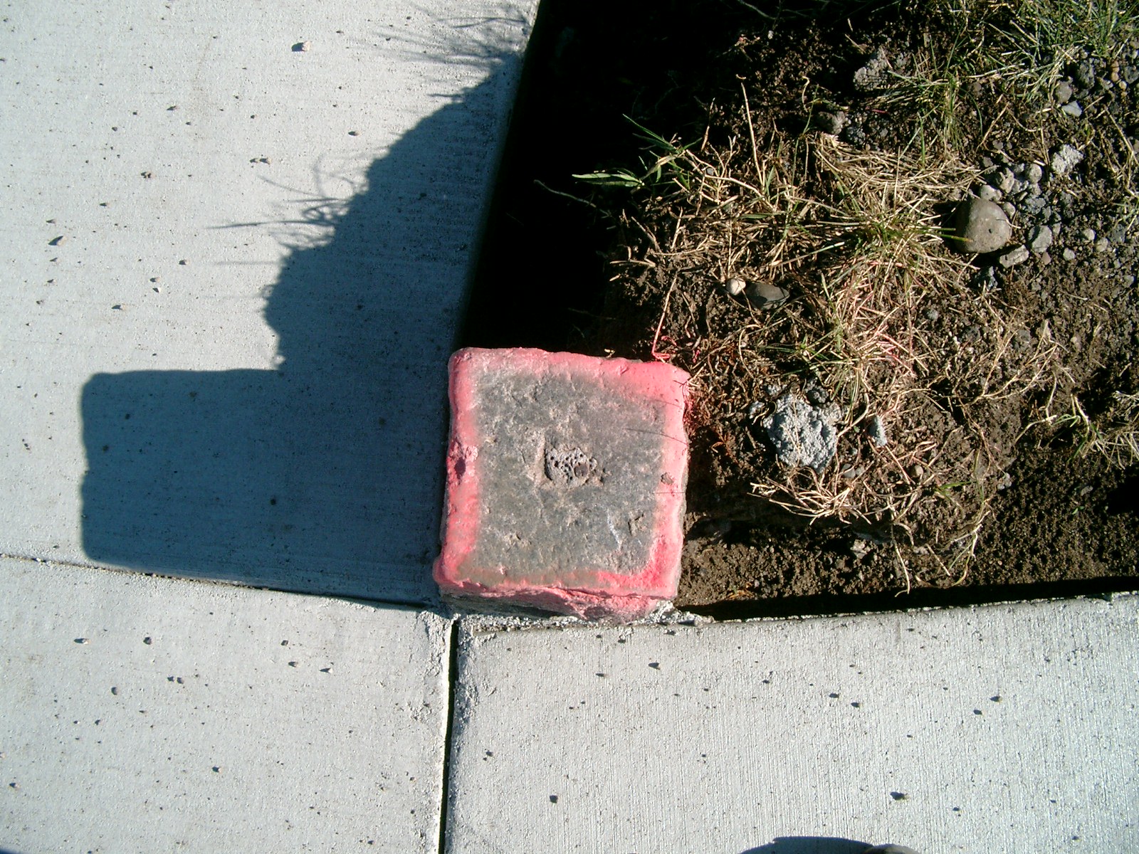
4116-0367B-7.jpg
|
July 31, 2013
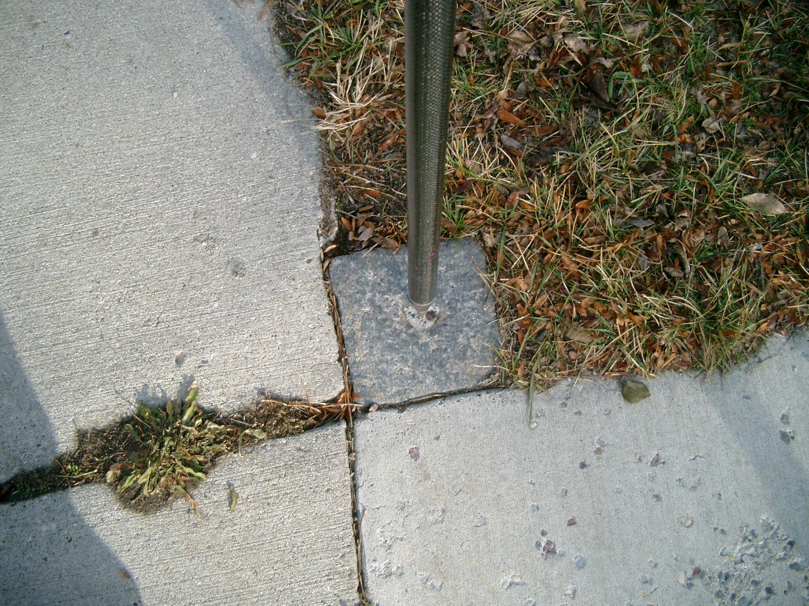
|
Close up of monument.
|
|
4116-0367B-6.jpg
|
July 31, 2013
|
Close up of monument.
|
|
4116-0367B-11.jpg
|
July 31, 2013
|
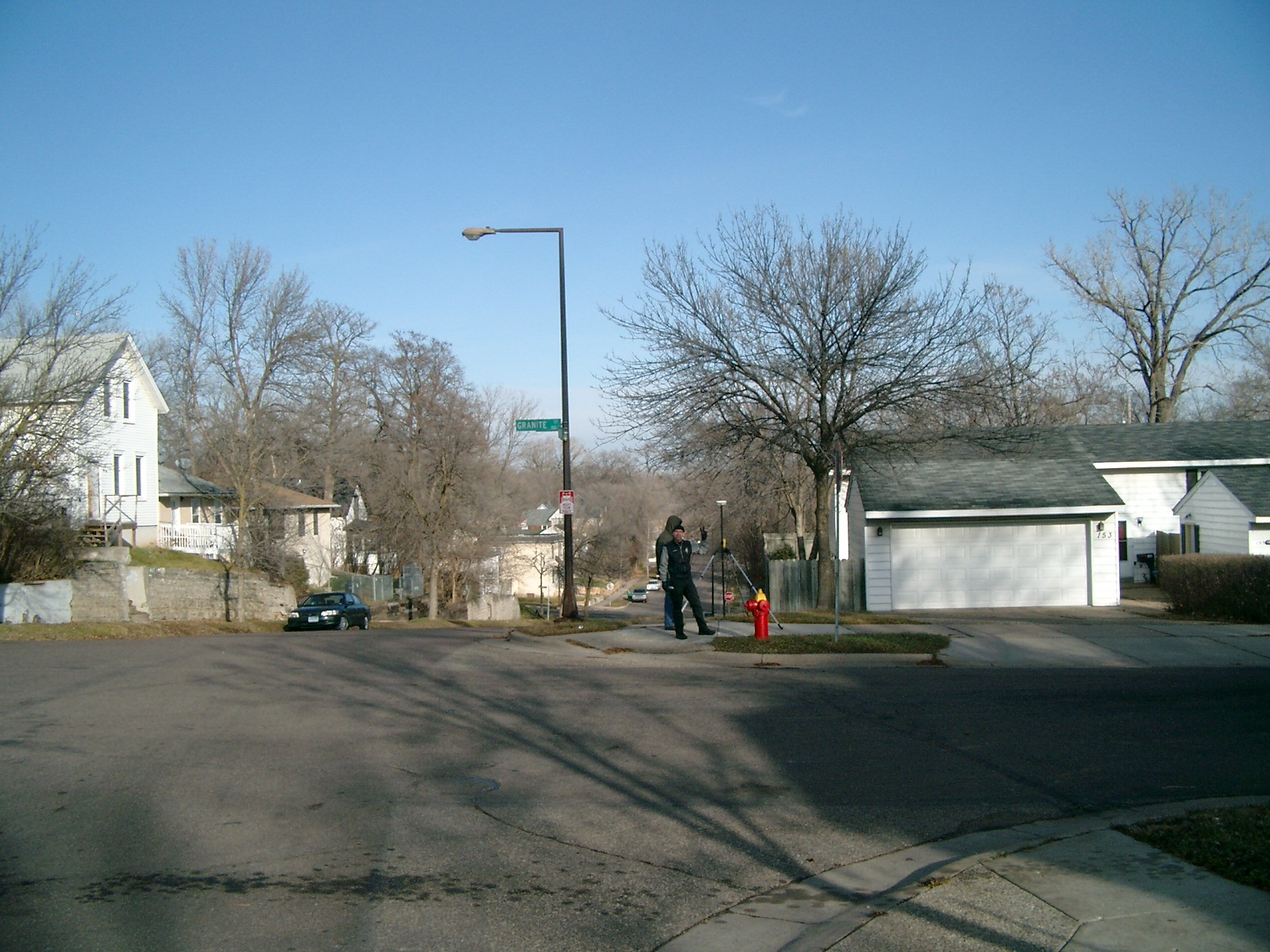
Looking west along Granite St.
|
|
4116-0367B-10.jpg
|
July 31, 2013
|
Looking south along Agate St.
|
|
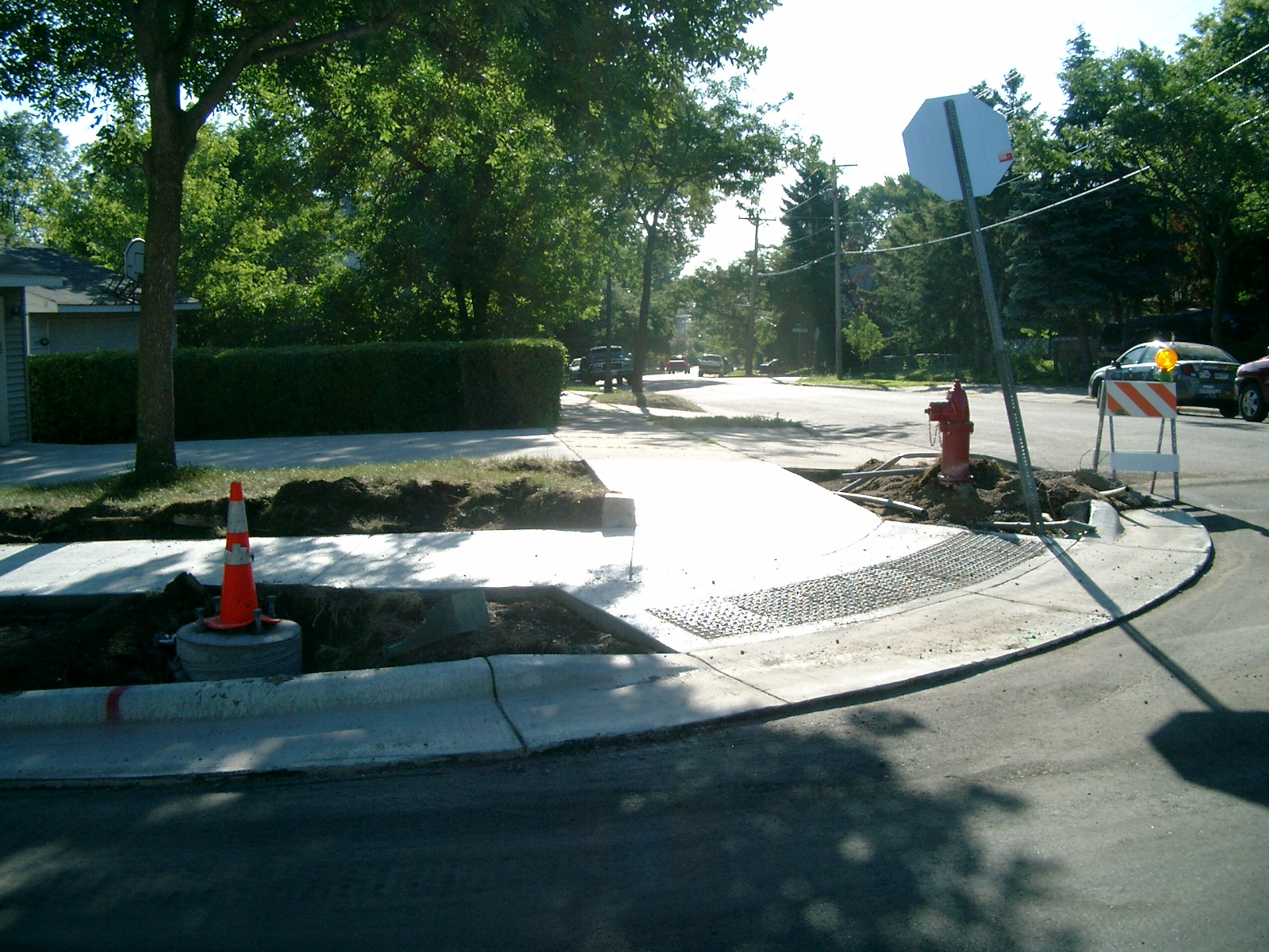
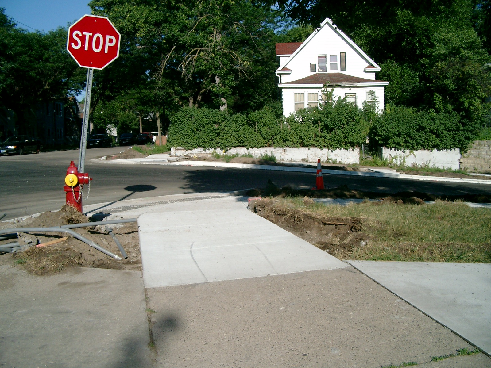
4116-0367B-5.jpg
|
December 1, 2009
|
Looking West along the north side of Granite St.
|
|
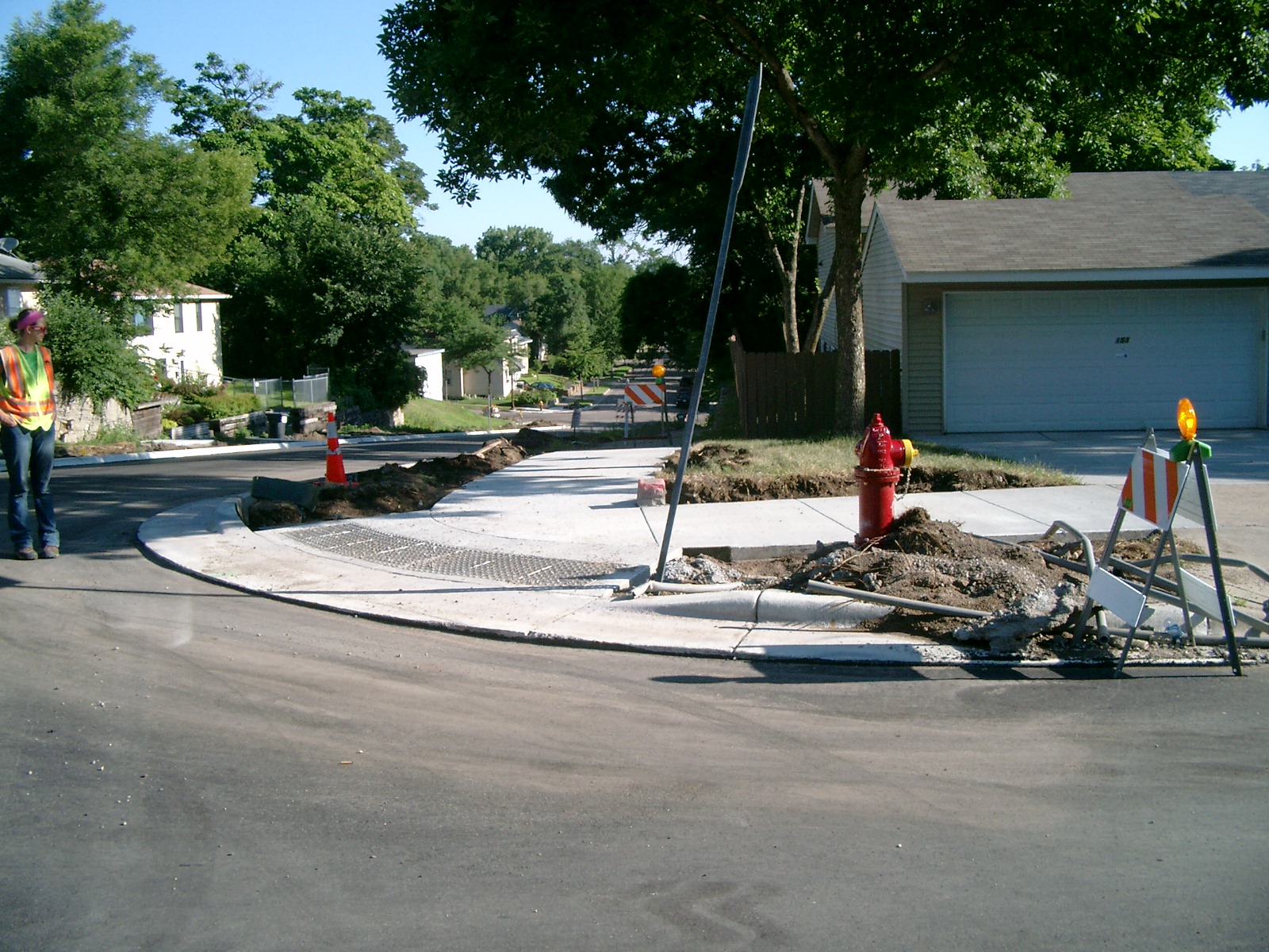
4116-0367B-4.jpg
|
December 1, 2009
|
Looking South along the East side of Agate St.
|
|
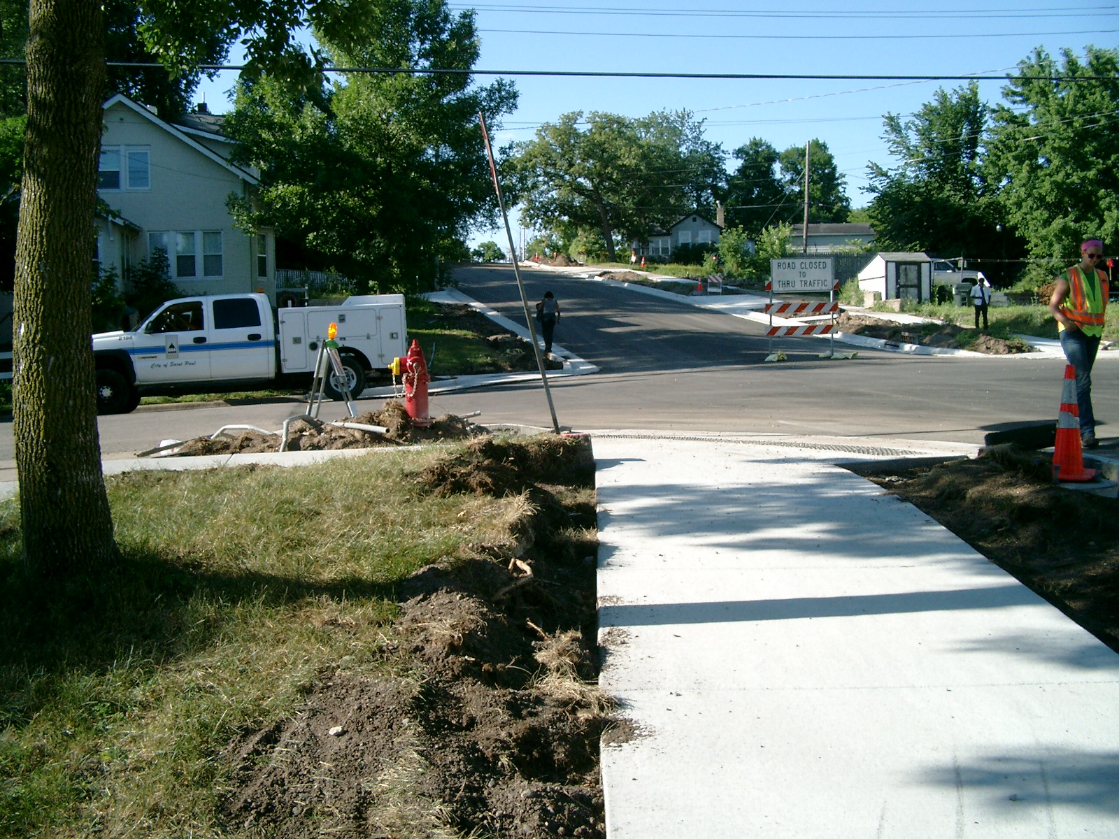
4116-0367B-3.jpg
|
December 1, 2009
|
Looking East along the north side of Granite St.
|
|
4116-0367B-2.jpg
|
December 1, 2009
|
Looking North along the East side of Agate St.
|
|
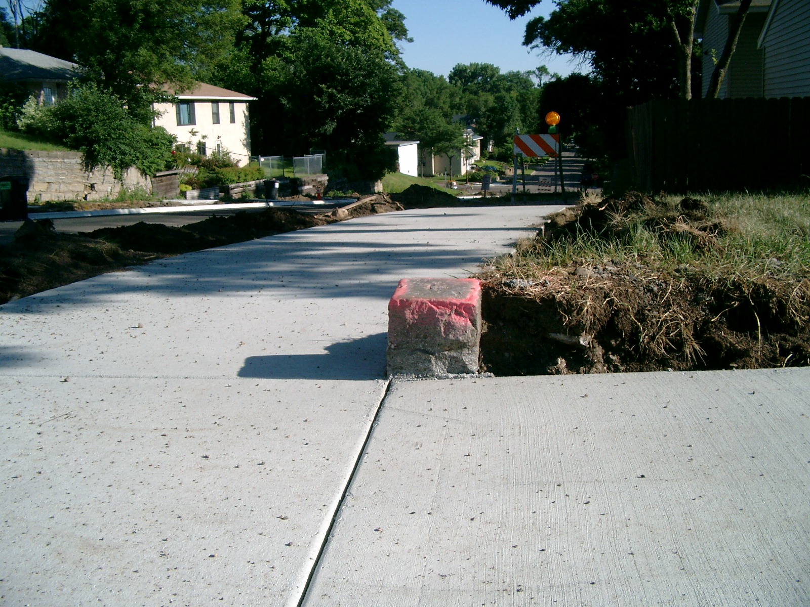
4116-0367B-1.jpg
|
December 1, 2009
|
Close-up of the GM.
|