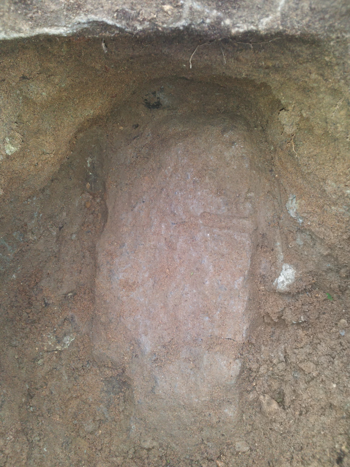
| 6/13/2013 | MnDOT discovered 8 in x 8 in square granite at an undisclosed depth and tilted at an angle of 45 degrees. Photo taken. |
| 1/1/1800 | (Unknown date ___ __, 18?? ) See JBI 17 p.94-95 |
Above is NOT an all inclusive history of this point. Please review all the links below.
| PLS NOTES | Field | Cross Section | Sewer | J.B. Irvine | Monument | River Survey |
|---|---|---|---|---|---|---|
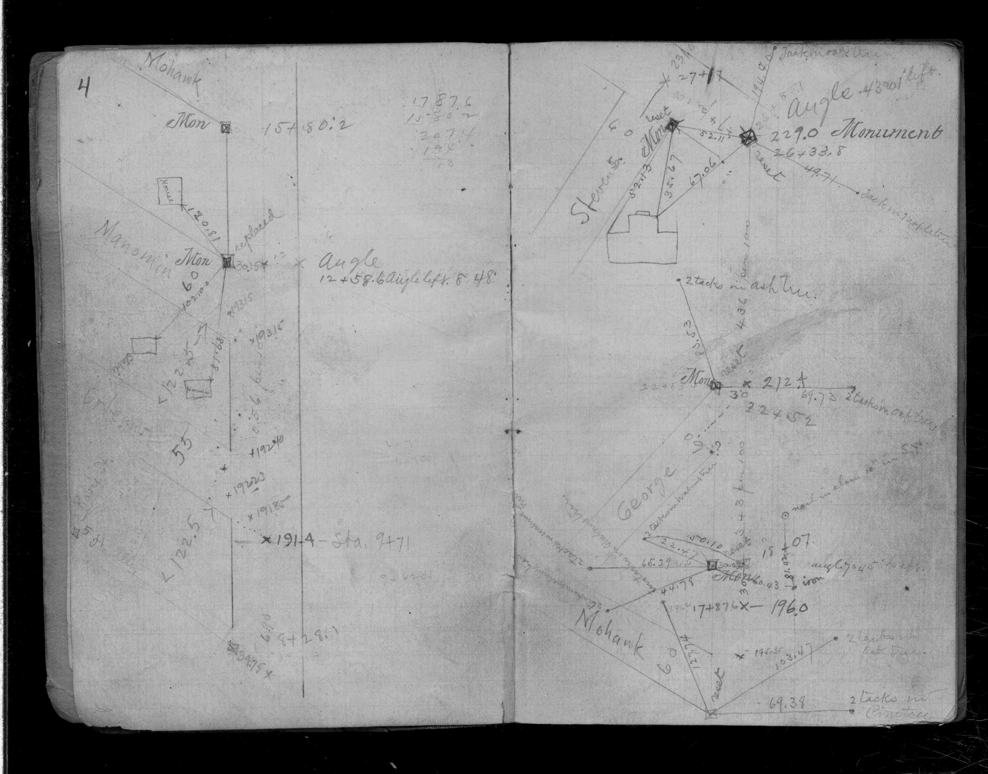
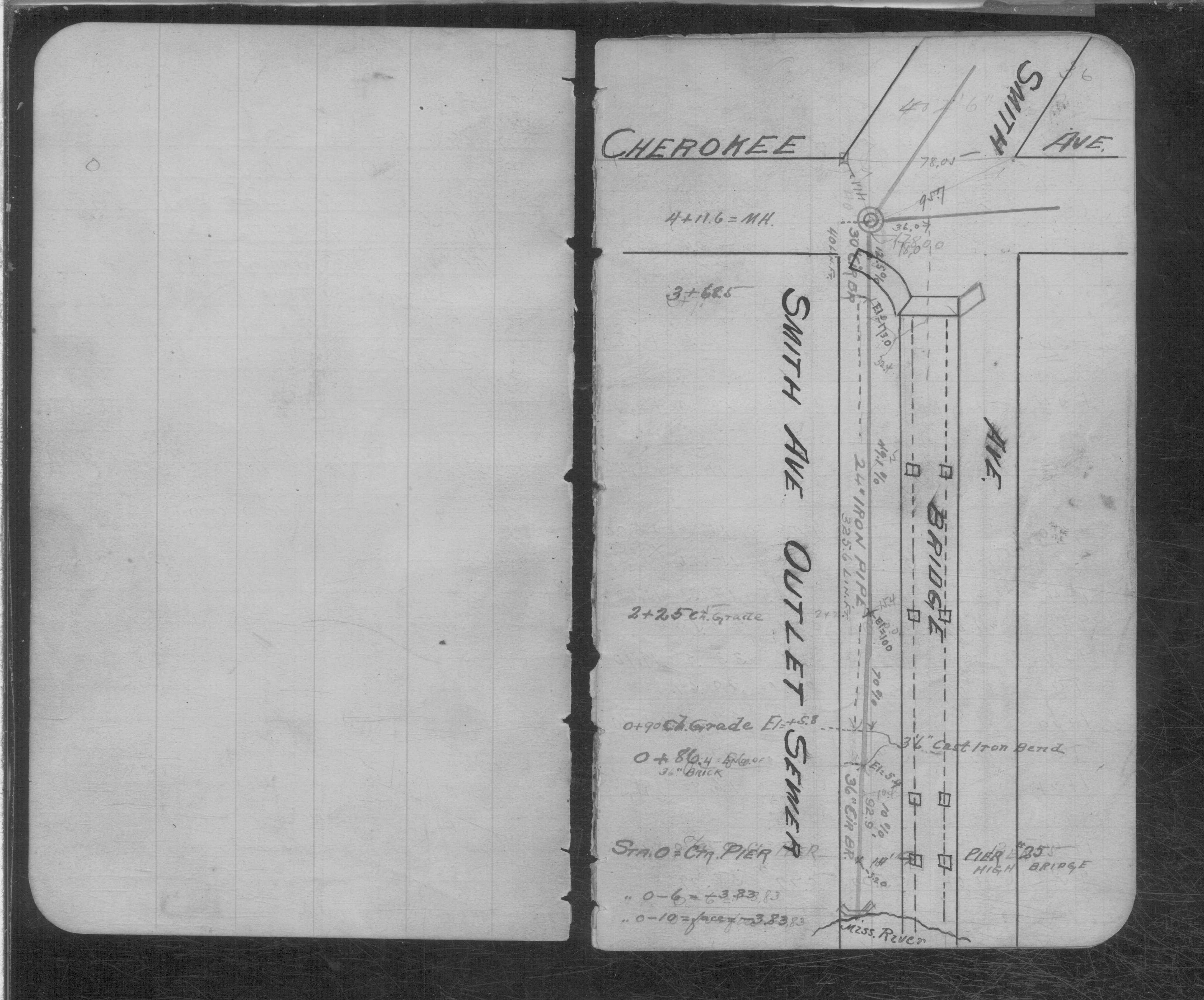
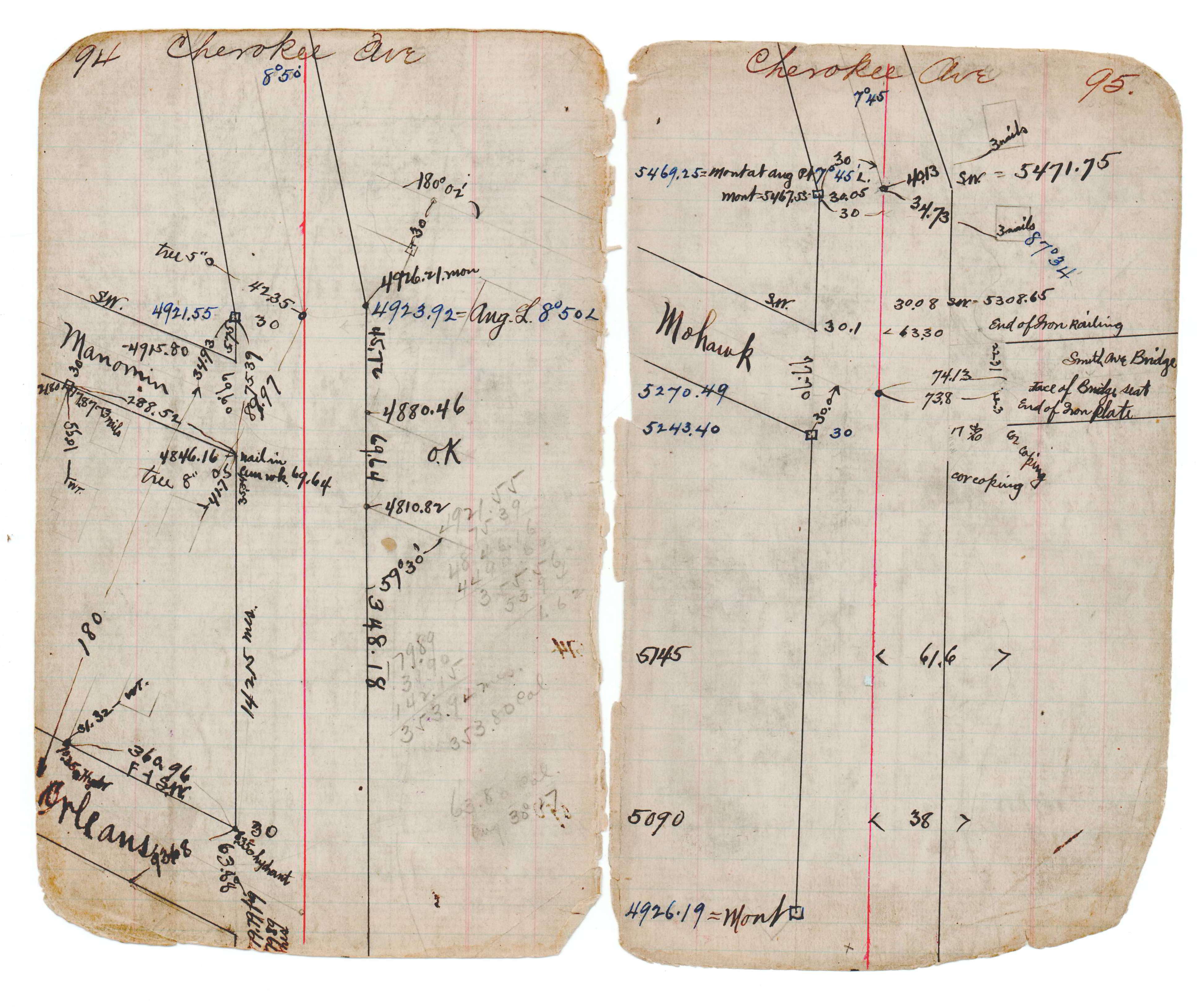
| CS 0120p.04 | SB 0234p.36 | JBI 17 p.94-95 |
| FILE | PHOTO DATE | COMMENTS |
|---|---|---|
| 4237-0476-1.jpg | June 13, 2013 | Close up of stone. |