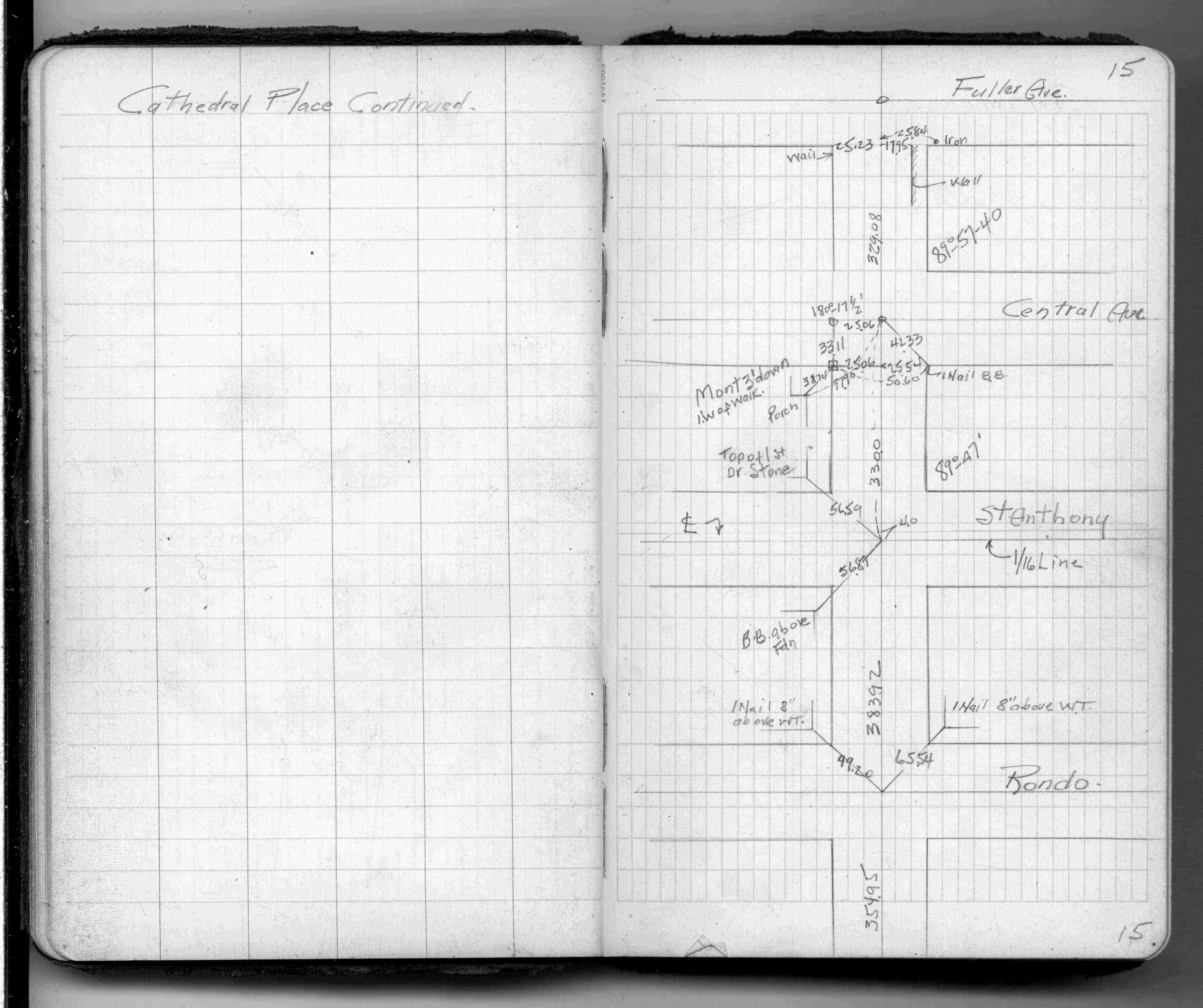
| 5/1/1944 | (Unknown date May __, 1944 ) Placed ties on monument down 3.0 ft, 1 ft west of walk. See FB 1362 p.15 |
Above is NOT an all inclusive history of this point. Please review all the links below.
| PLS NOTES | Field | Cross Section | Sewer | J.B. Irvine | Monument | River Survey |
|---|---|---|---|---|---|---|
| FB 1362p.15 |