|
FILE
|
PHOTO DATE
|
COMMENTS
|
|
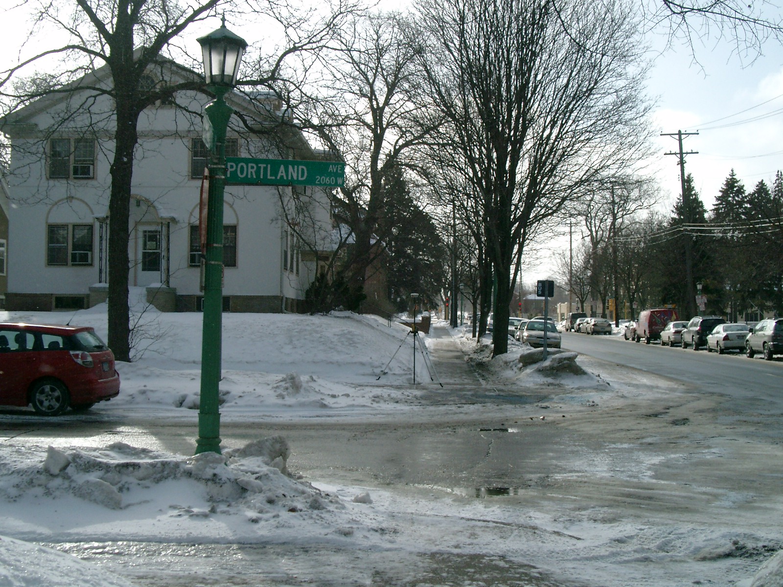
4631-0846-9.jpg
|
January 26, 2010
|
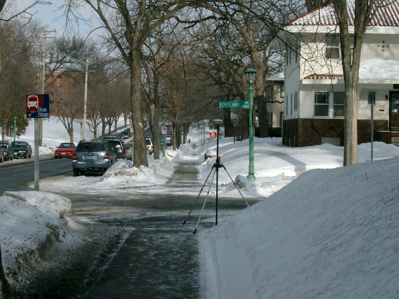
Looking West along the South side of Portland Ave.
|
|
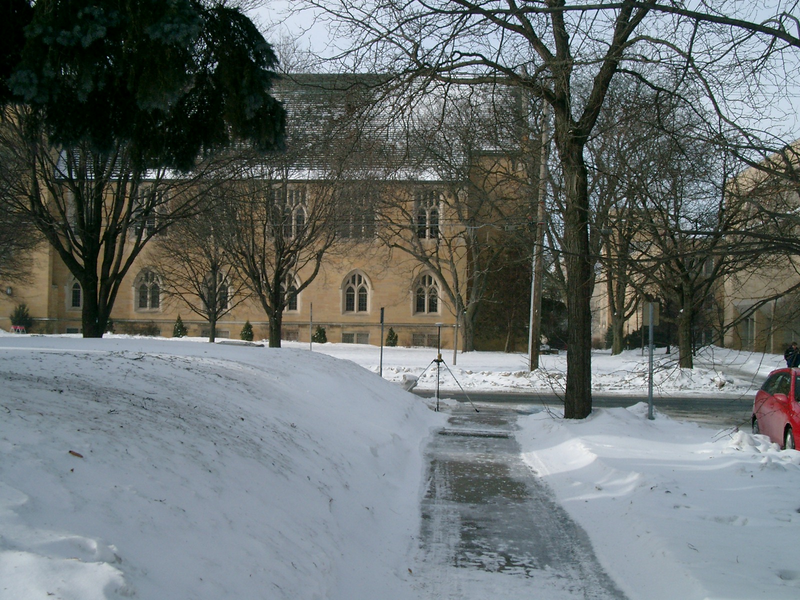
4631-0846-8.jpg
|
January 26, 2010
|
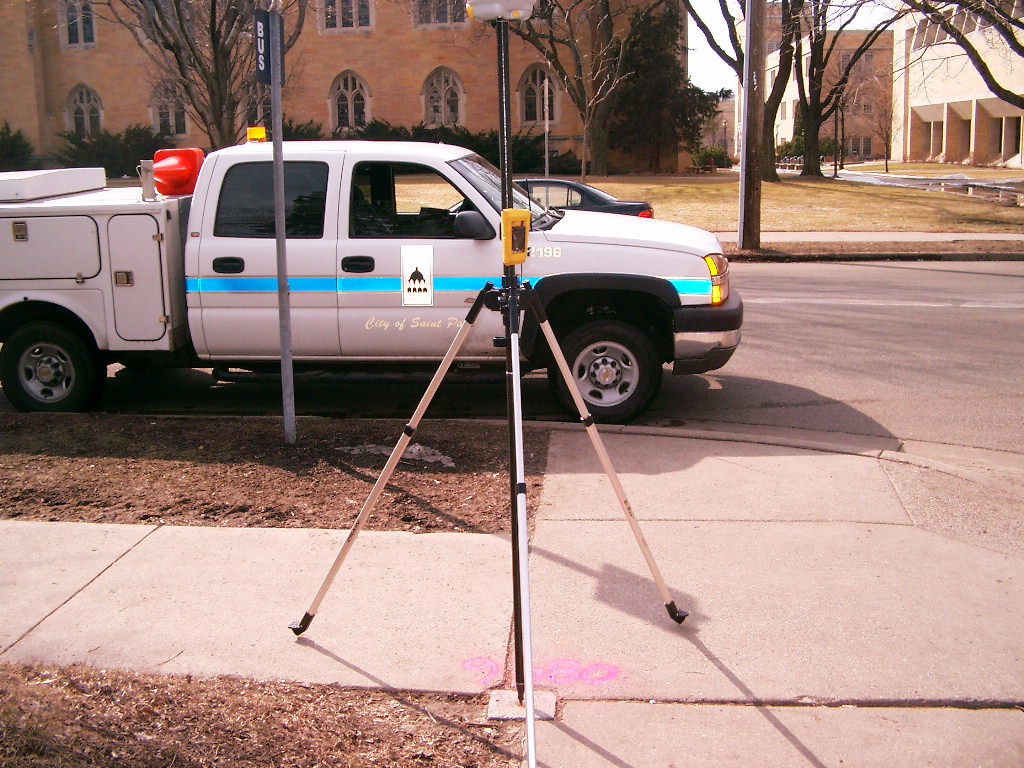
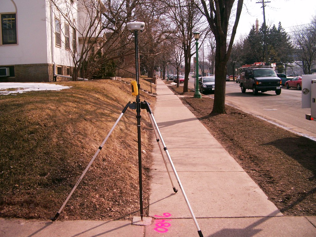
Looking South along the East side of Cleveland Ave.
|
|
4631-0846-7.jpg
|
January 26, 2010
|
Looking East along the South side of Portland Ave.
|
|
4631-0846-6.jpg
|
January 26, 2010
|
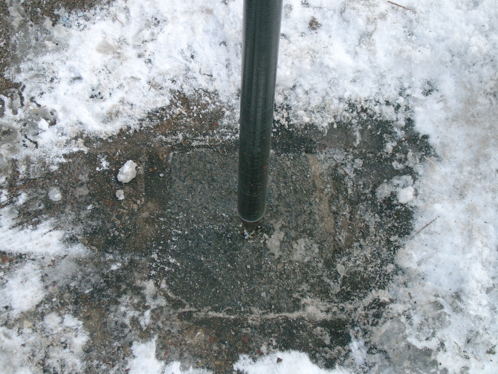
Close-up of GM.
|
|
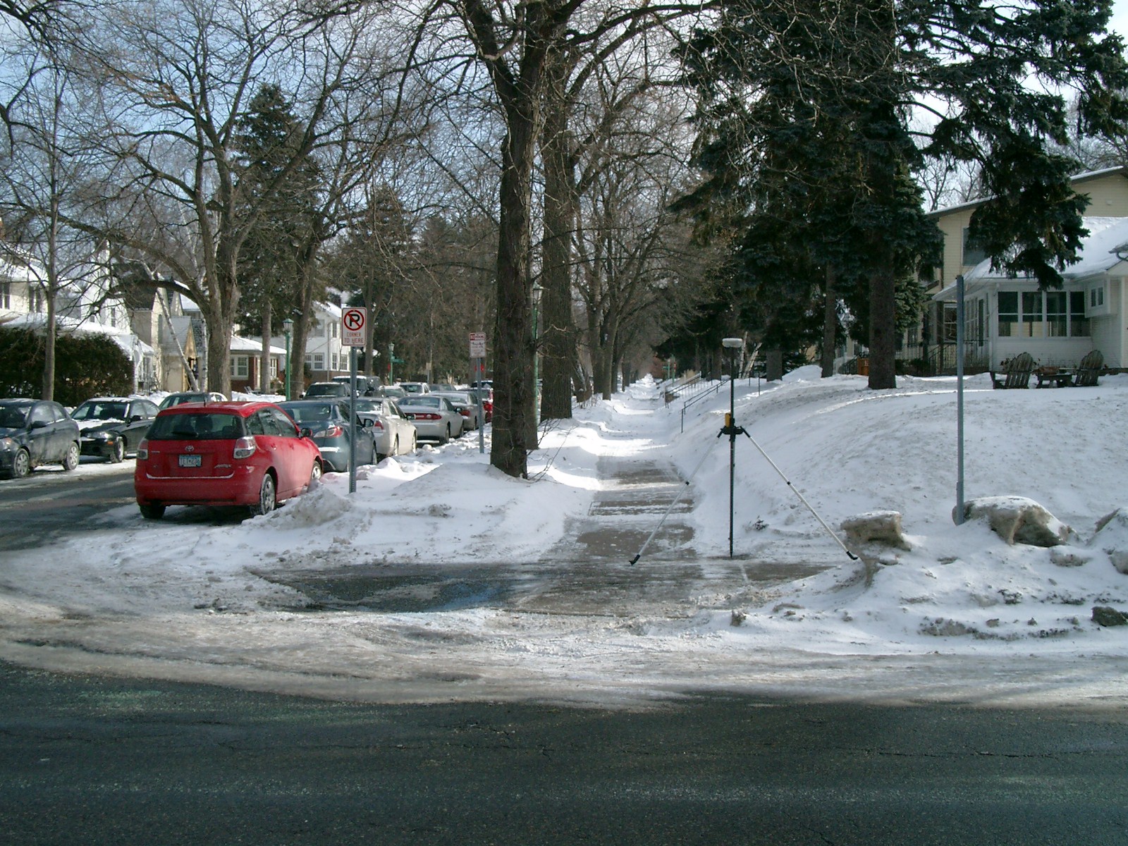
4631-0846-10.jpg
|
January 26, 2010
|
Looking North along the East side of Cleveland Ave.
|
|
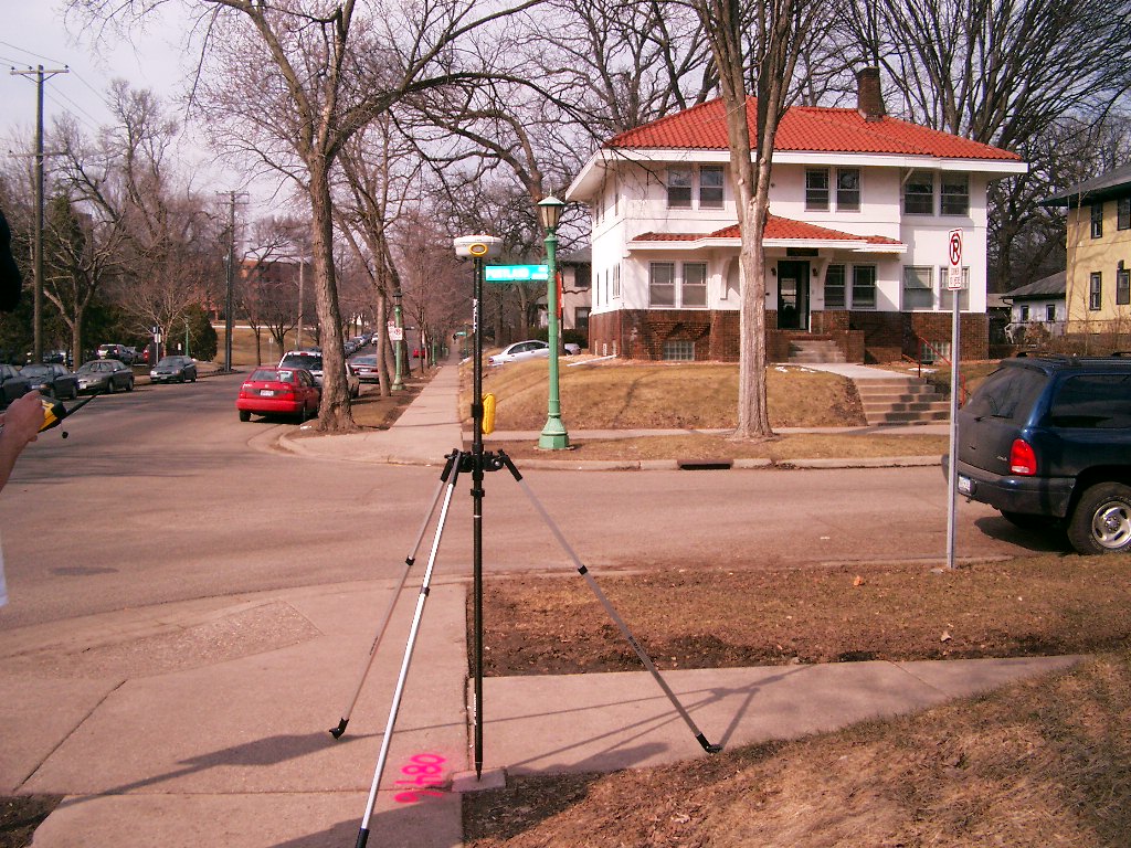
4631-0846-5.jpg
|
March 28, 2006
|
Looking West across Cleveland Ave.
|
|
4631-0846-4.jpg
|
March 28, 2006
|
Looking South along the East side of Cleveland Ave.
|
|
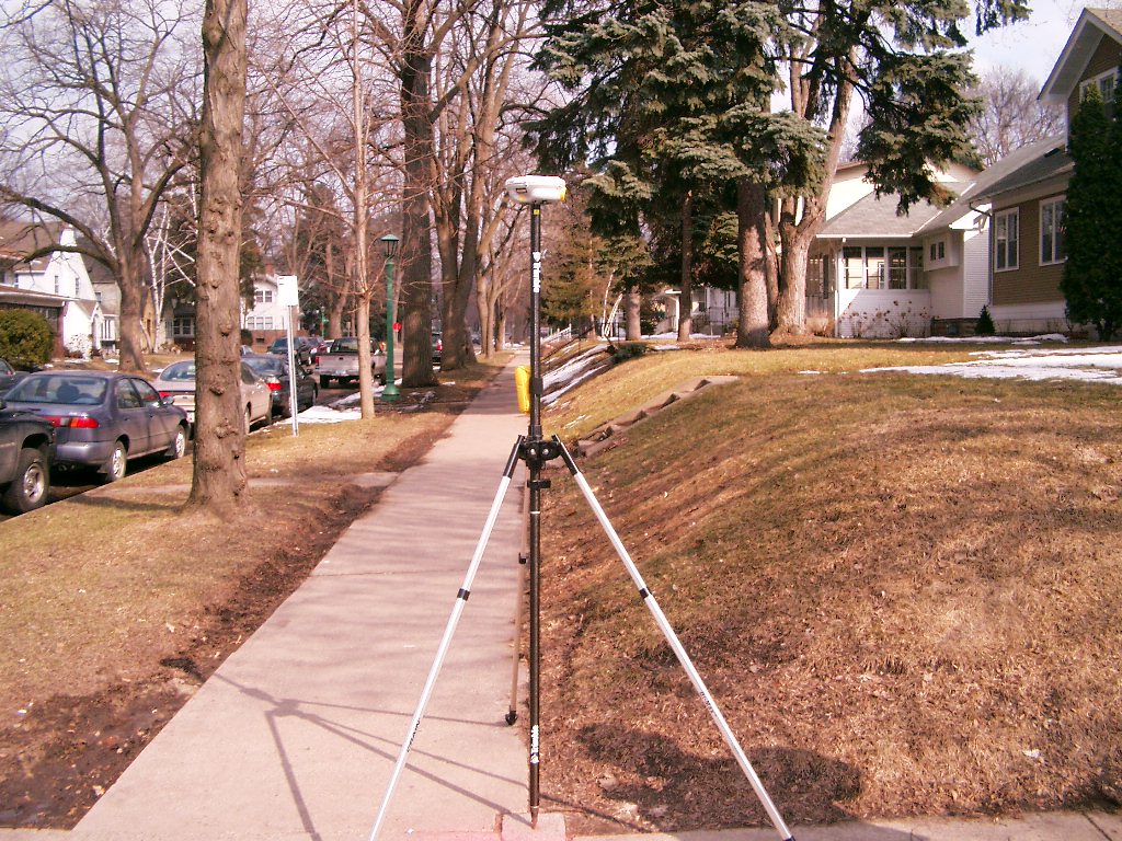
4631-0846-3.jpg
|
March 28, 2006
|
Looking East along the North side of Portland Ave.
|
|
4631-0846-2.jpg
|
March 28, 2006
|
Looking North along the East side of Cleveland Ave., across Portland Ave.
|
|
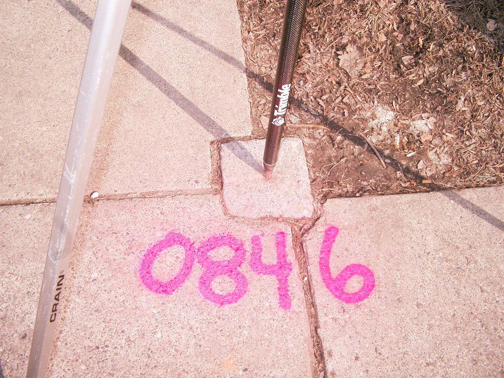
4631-0846-1.jpg
|
March 28, 2006
|
Close-up of GM at sidewalk grade.
|