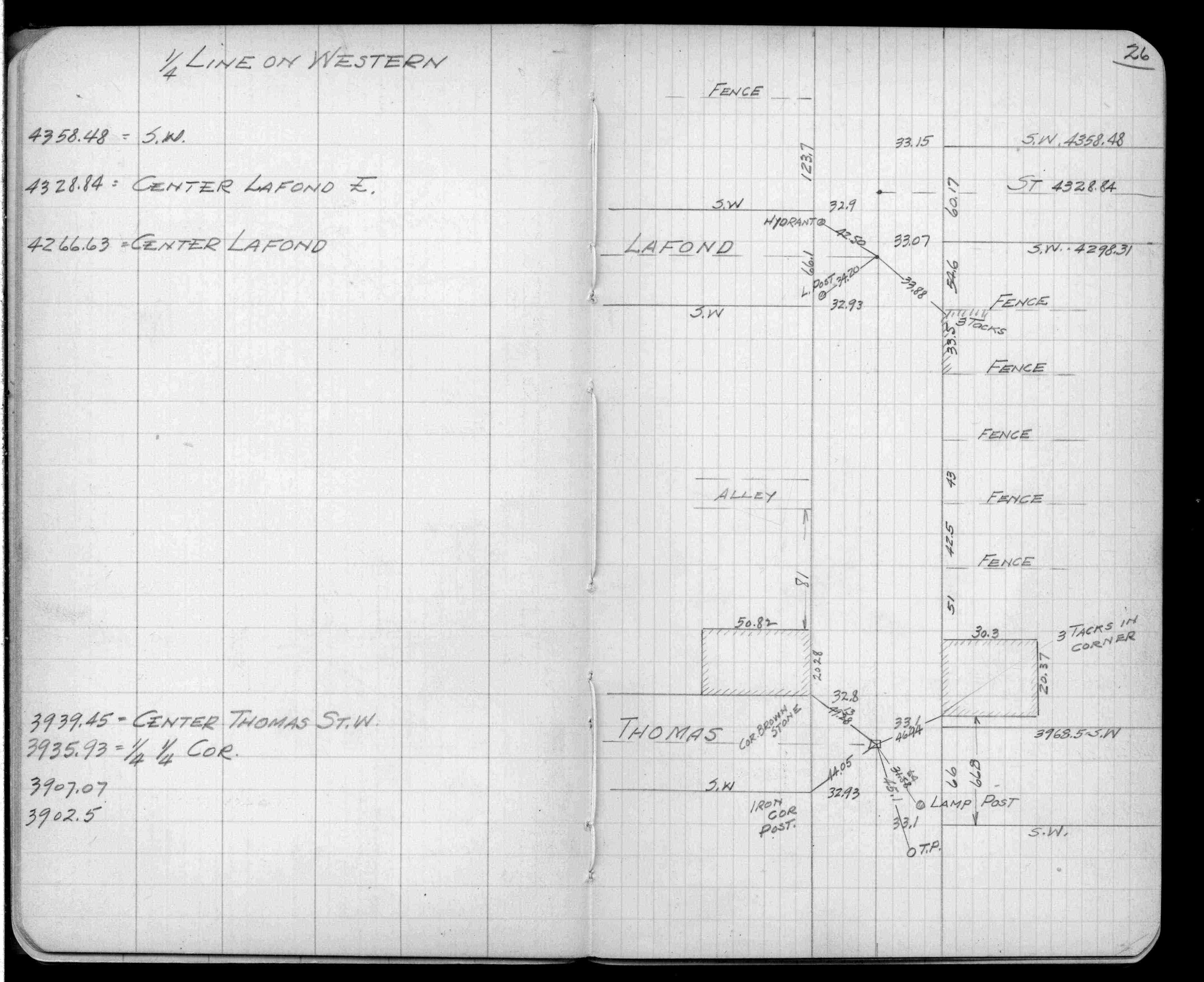
| 4/17/1889 | Monument set. See FB 276CPY p.26 established by survey J H Armstrong |
| 2/1/1889 | (Unknown date Feb __, 1889 ) Monument set from measurements by McCoy (not original stakes) |
Above is NOT an all inclusive history of this point. Please review all the links below.
| PLS NOTES | Field | Cross Section | Sewer | J.B. Irvine | Monument | River Survey |
|---|---|---|---|---|---|---|
| FB 0276CPYp.26 |